Monrae was the only classified hill, albeit minor, that I hadn’t climbed in and around Glen Tanar which is accessed from the B976 South Deeside Road west of Aboyne. On previous occasions parking was permitted at the end of the public road to the west of Glen Tanar House but this hard surface has recently been fence off. I therefore left my vehicle on the grass verge to the north of the private road leading to this house. Closing off that parking area will only result in more walkers using the verges.
I walked back to the end of the public road then followed the signed route round the houses and onto the estate track heading south-west through the forest and above the north bank of the Water of Tanar. At a junction of tracks, NO461941, I crossed the bridge over the Water of Tanar, which was rather low, then followed this estate track south-east for over 400 metres to another track junction where I went right.
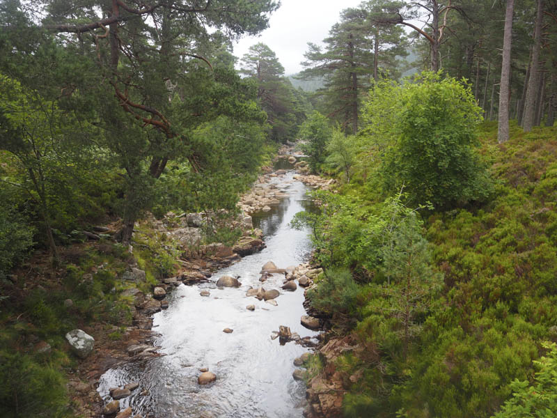
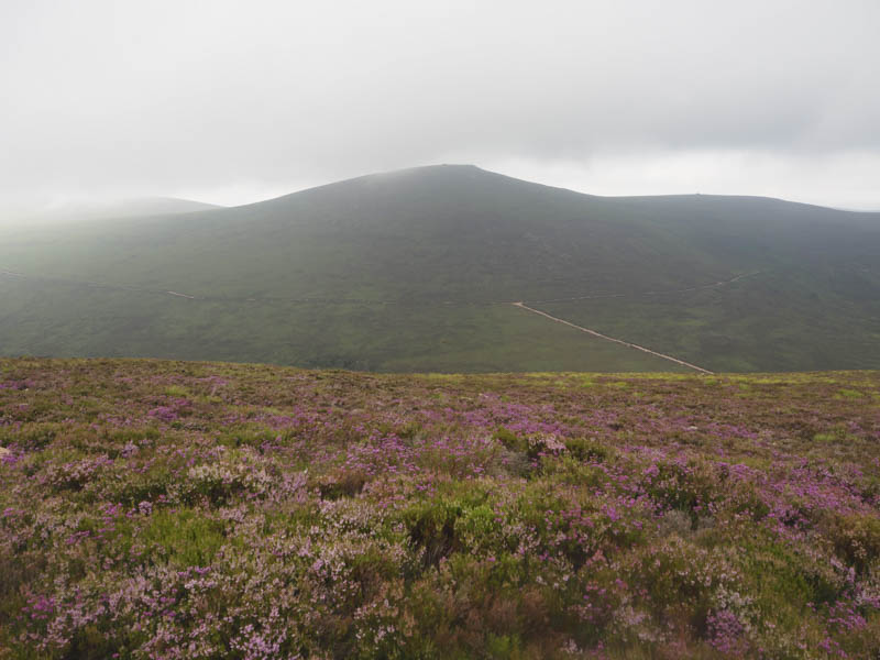
This track, which included a few short steep sections, took me in a south-westerly direction and eventually out of the forest as the low cloud slowly lifted.
The track continued below White Hill and Clachan Yell on a gentle gradient to another junction at NO452907.
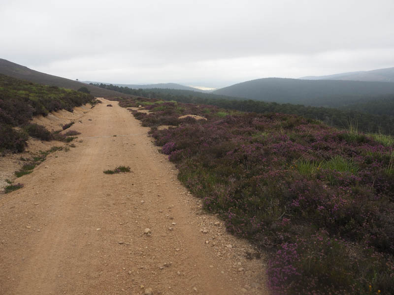
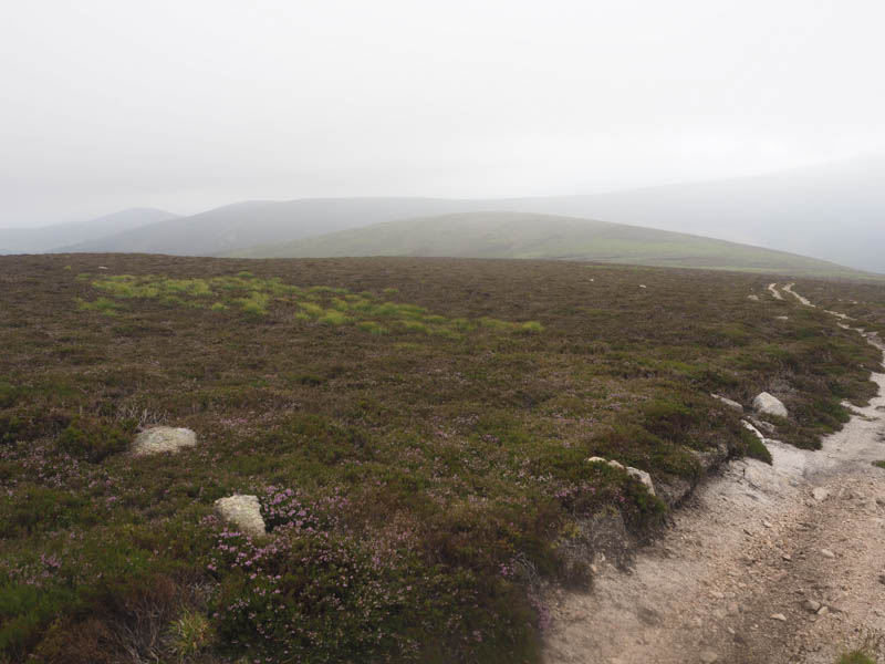
Here I went left and descended east on a rougher track to ford the Water of Gairney which was easily crossed as the water level was low. Initially the track continued east, consisting of lots of lose stones, before turning south onto Little Cockcairn.
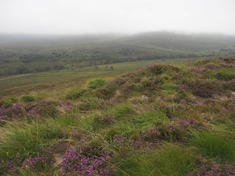
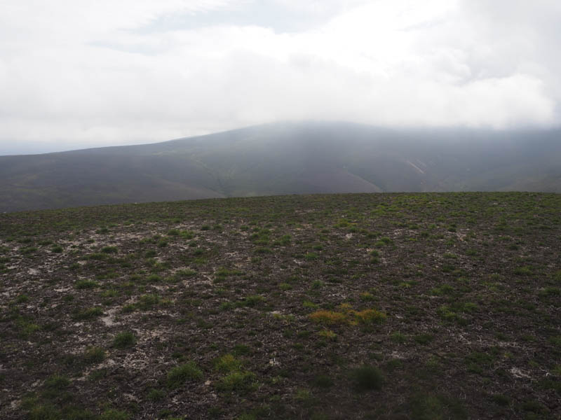
Higher up the track turned back east with less lose stones but the cloud lowered and engulfed me. The summit of Little Cockcairn was reached and although there was a cairn the highest point of this uncategorised hill appeared to be either some moss and heather or a boulder.
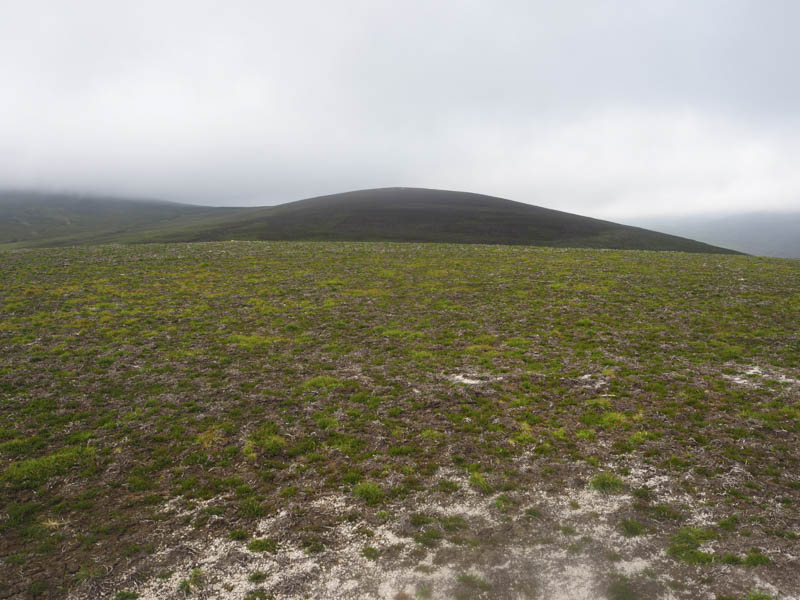
With no views I rejoined the vehicle track, which I had briefly left to visit the summit of Little Cockcairn, and followed it east as it descended towards the col with Monrae.
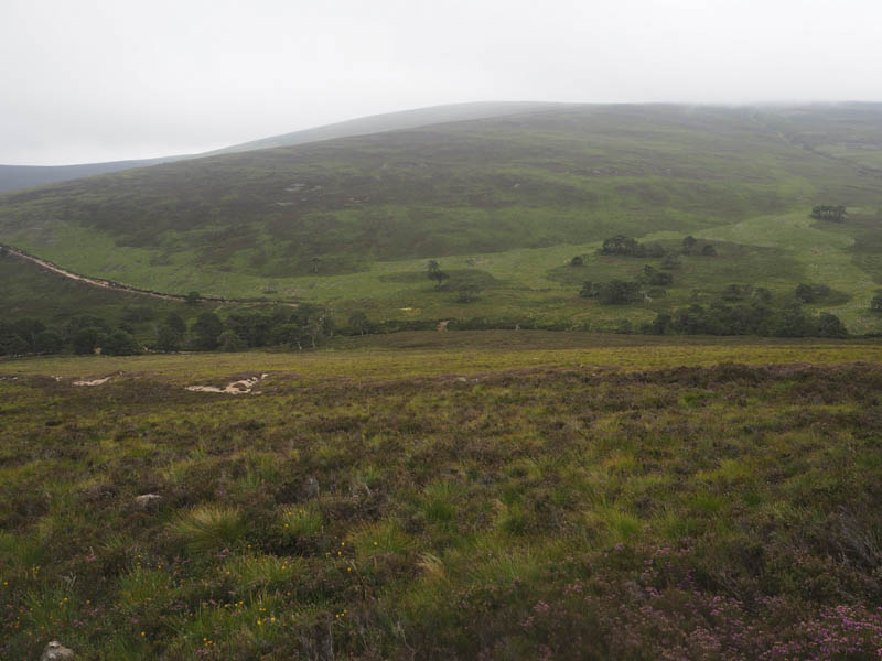
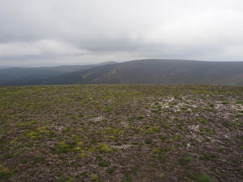
The cloud lifted and on reaching this col I left the track and climbed through rough vegetation to the summit of the Sub Dodd, Monrae. The highest point appeared to be some dry peaty ground containing heather shoots.
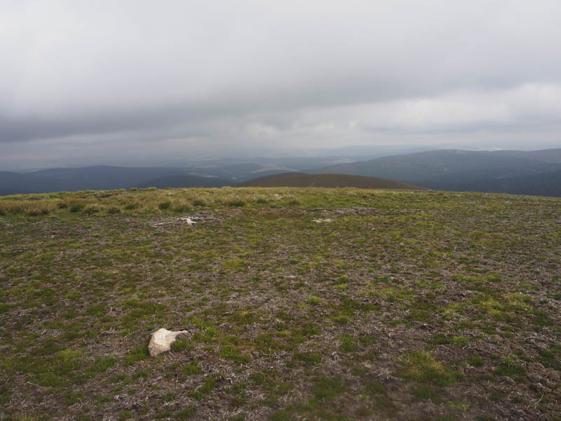
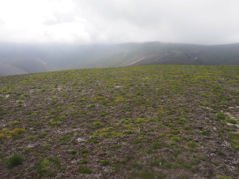
I expected the descent east off Monrae to be through rough vegetation but the east side of the hill consisted of dry peaty ground with heather shoots although lower down it also included short grass, all probably the result of muirburning. It was therefore an easy descent to the vehicle track below Hill of Cat. I followed this track north back into the forest where there was evidence of an old fire with fencing and trees burnt. (a Google search revealed this occurred back in 2018)
The track descended to the crossing of Water of Allachy, easily crossed on concrete channels, before utilising a couple of other estate tracks to reach the Firmounth Road. This route had several high timber stacks at its sides as a result of forest operations. I reached and crossed the Knockie Bridge but the direct route back to the start was closed off by locked gates. A longer route to the south took me round the fenced off lochan to re-join the track used at the beginning of this walk.
- Time taken 5 hours.
- Distance – 19.25 kilometres.
- Height climbed – 685 metres.