The road up Glen Strathfarrar in Inverness-shire is private and between April and October access is controlled by the gatekeeper at Inchmore who doesn’t start work until 9am Thursday to Monday. On Tuesdays the glen is closed with a later opening time on Wednesdays.
On gaining access to the glen I was advised by the gatekeeper that there was now a second gate and I would receive further instructions there. This gate was located beside the East Deanie Burn, east of Deanie Lodge, and on my arrival there I was notified of the arrangements to have this gate unlocked on my return.
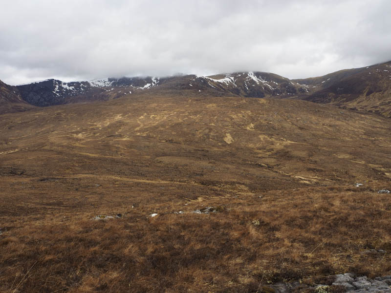
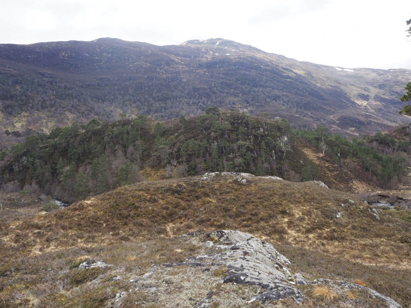
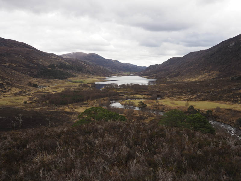
Torr a’ Charsair, Meall Dubh and An Sithean – I continued my drive west through the glen to the Allt Uchd Rodha, east of Braulen Lodge, parking on a grassy area on the south side of the road. I then crossed the road and commenced the ascent of Torr a’ Charsair, across pathless vegetation with traces of deer tracks. Within ten minutes I was on the knoll marking the summit of this Tump.
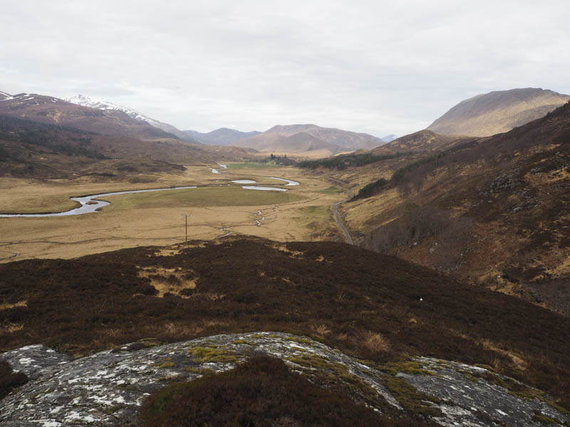
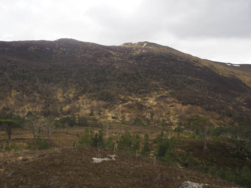
The descent north wasn’t possible due to a fissure so I headed east before turning north then north-west as I ascended Meall Dubh. It was a steady climb through vegetation with some wet and muddy ground churned up by the deer. A boulder marked the highest point of this Tump.
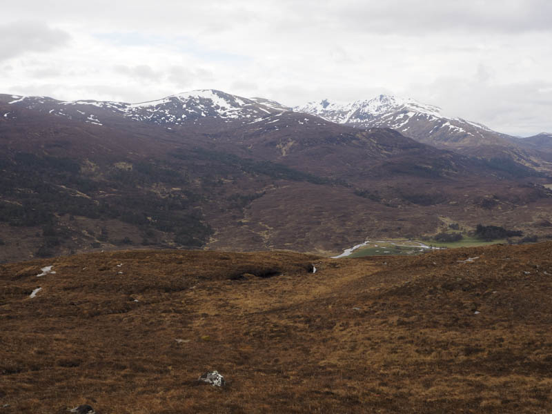
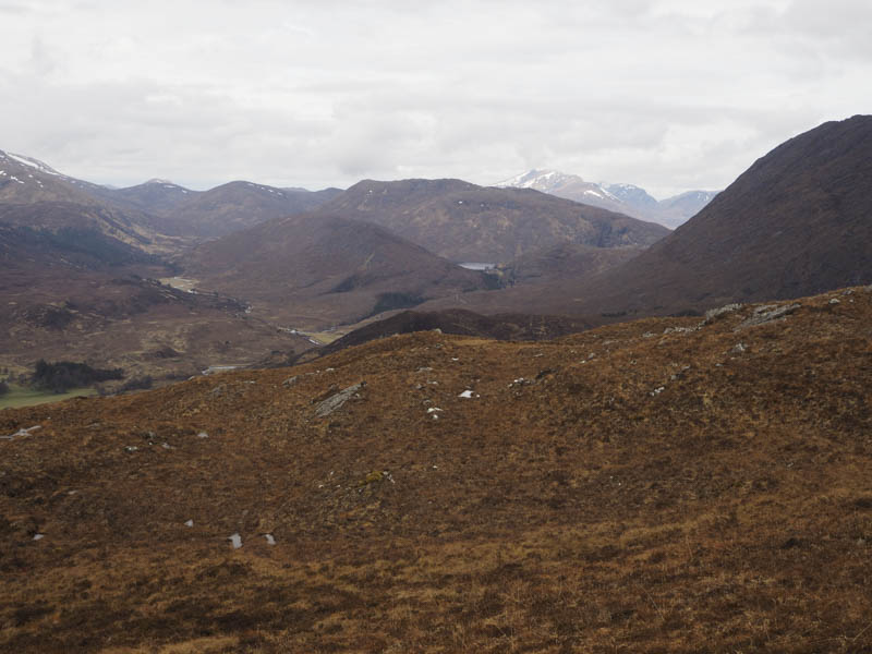
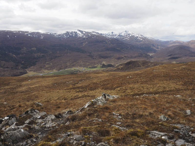
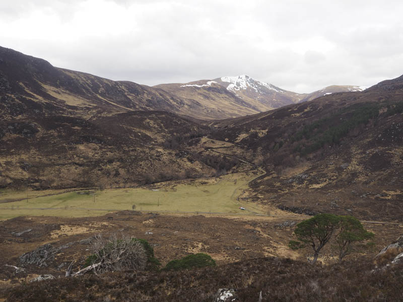
After a break here taking in the views of the snow covered higher summits I descended north-west again through pathless vegetation before climbing to the summit of the Tump, An Sithean, marked by a cairn.
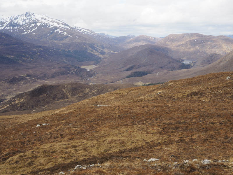
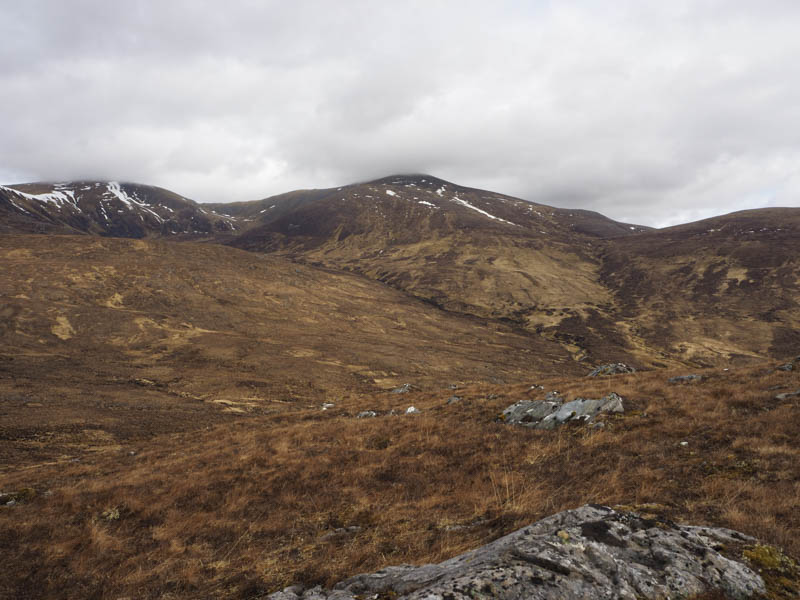
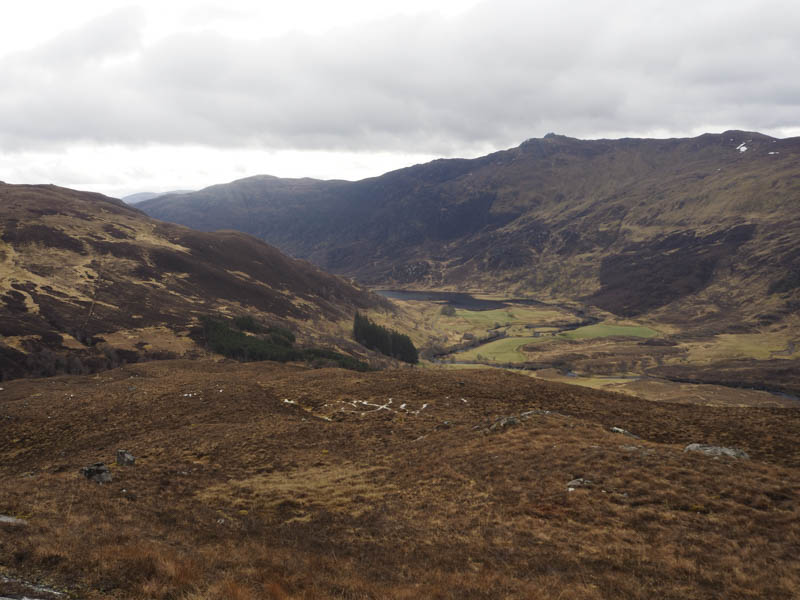
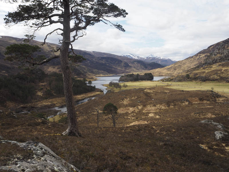
The descent south-east round the north face of Meall Dubh was through some wet and boggy ground, latterly following what may have been the remnants of an old stone dyke, before crossing the east ridge of Meall Dubh to reach the west side of the Allt Uchd Rodha. Here I discovered an old, mainly wet and muddy track which took me back close to the start although the track disappeared just before reaching the road.
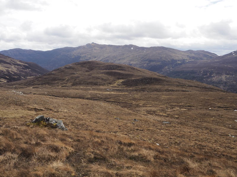
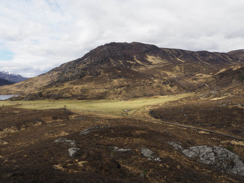
Tom a’ Mhein – I drove back east through the glen and parked on the grass west of the Allt Coire Muillidh, the starting point for the Munro, Sgurr na Ruaidhe. I crossed the road, then some wet and boggy ground, before climbing through heather to reach the outcrop marking the summit of this Tump, with a couple of trees nearby.
After sitting at the summit for a while I returned by the ascent route.
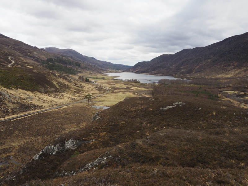
Tom an t-Struthain – I moved my car further east parking on a large area of rough ground beside the vehicle track giving access to Cambussorray. I then walked down this track to the bridge over the River Farrar and once on the other side followed a fishermen’s path which took me south-west along the south bank of the river.
Eventually I scrambled up the embankment to discover a vehicle track which was followed west before leaving it, crossing rough ground and an un-named stream, to reach the foot of Tom an t-Struthain.
It was then a steep climb through heather and boulders, with lots of deer tracks, to gain the highpoint of this Tump, an outcrop amongst the heather.
The return was by the approach route staying on the vehicle track and walking through some well spaced trees to reach the bridge over the River Farrar, rather than use the fishermen’s path.
- Total time taken – 4.75 hours.
- Total distance – 9.5 kilometres.
- Total height climbed – 550 metres.