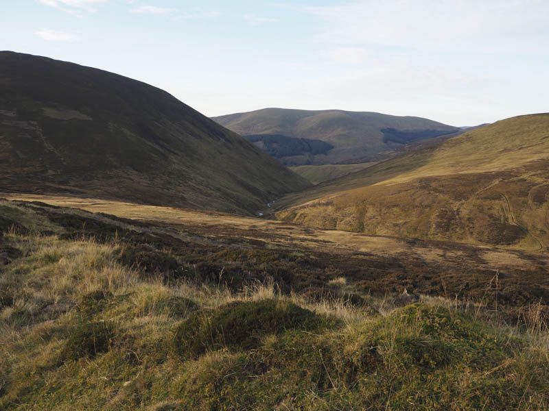
Carn Mor and Creag Lamhaich – I parked on the west side of the A93 Braemar to Blairgowrie Road, north of the Spittal of Glenshee, and at the start of the vehicle track below the Corbett, Ben Gulabin. (Grid Ref. NO114714) I then set off up this track soon leaving the chilly glen and reaching the early morning sun where I quickly warmed up.
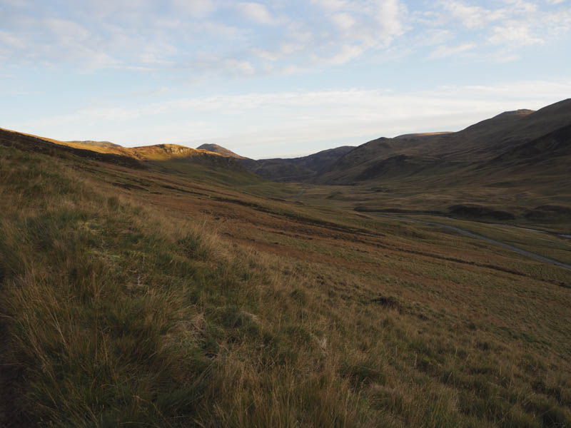
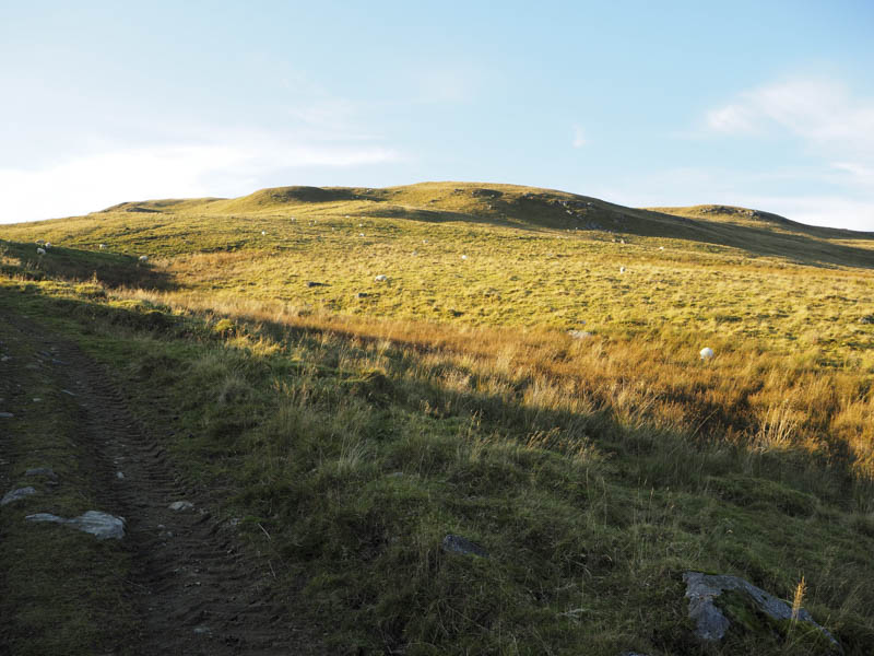
The track rose steadily north crossing the Allt a’ Charnaich before continuing in a north-westerly direction to the col between Ben Gulabin and Creagan Bheithe before turning north again to run below the west side of Creagan Bheithe.
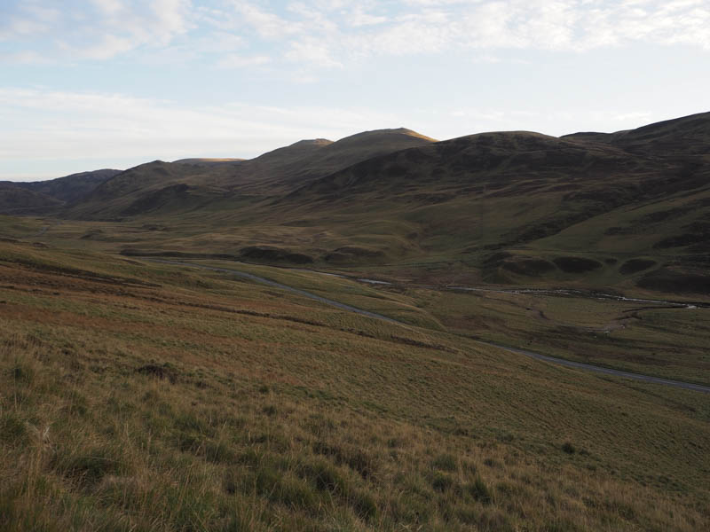
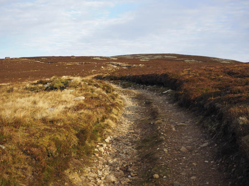
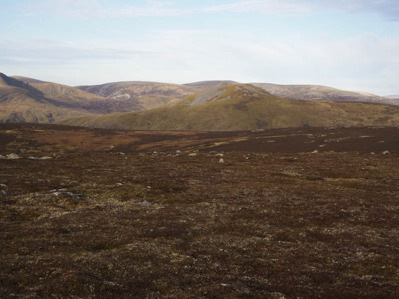
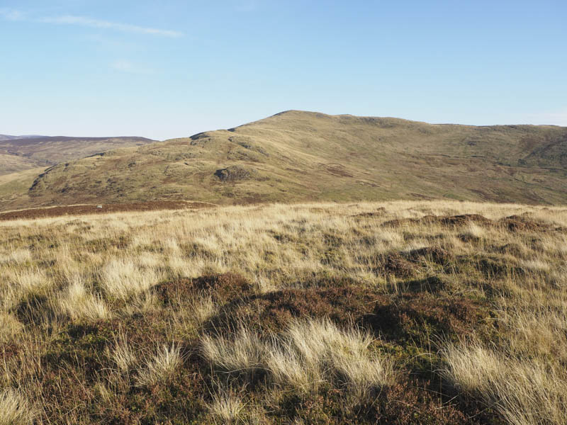
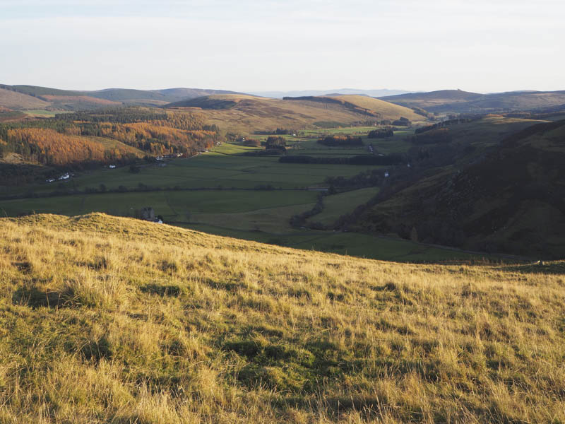
The track then headed towards the col between this hill and the Corbett Top, Carn Mor then to the west of this summit.
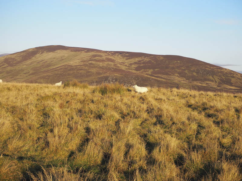
I left the track and walked across windswept heather, passing a couple of cairns, to visit Carn Mor’s highest point which appeared to be close to the northerly cairn.
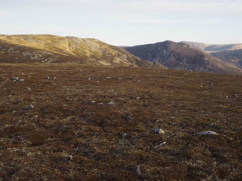
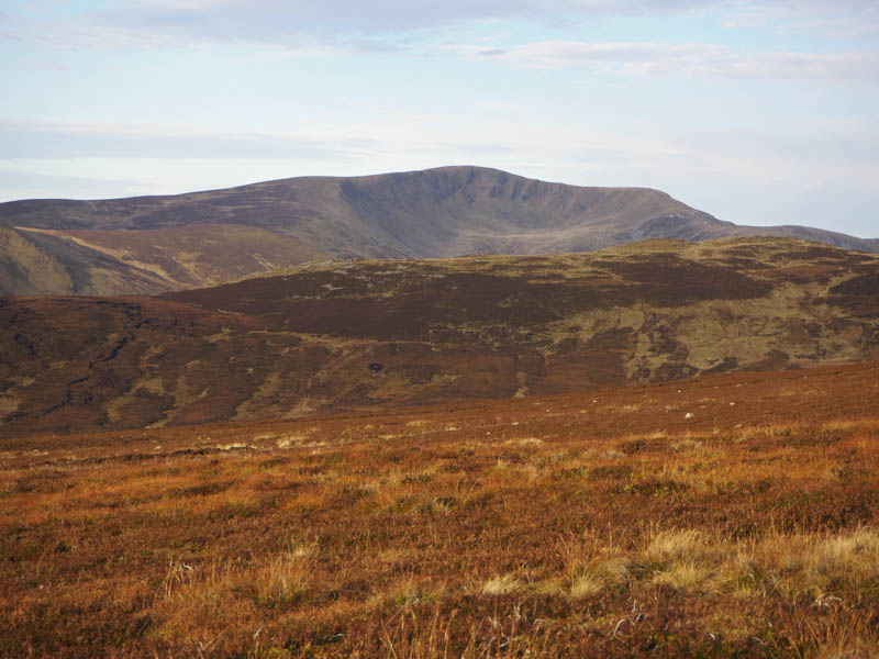
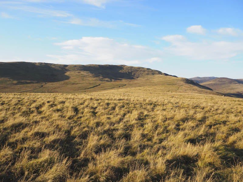
It was rather pleasant and sunny here with no wind so I sat around for a while before heading off in a north-westerly direction to rejoin the vehicle track as it swung round the head of Coire Shith and to the 788 knoll where the track came to an end.
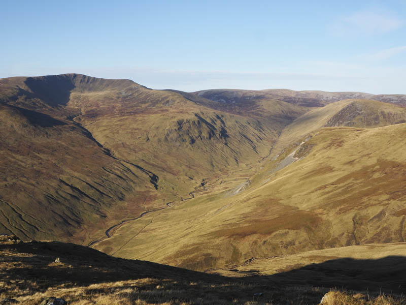
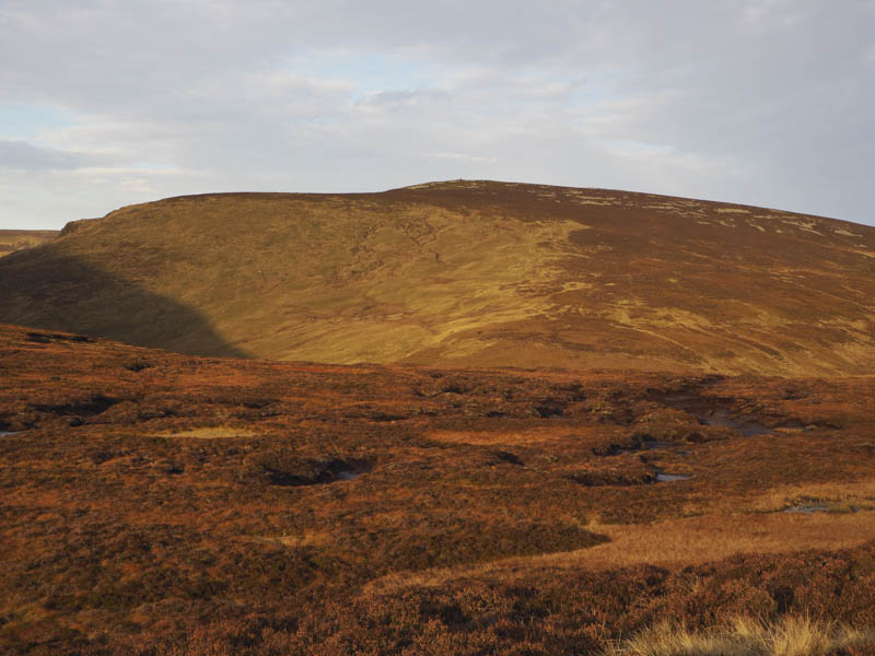
A slight descent led to an area of wet ground and some peat hags. Beyond it was a short walk to the summit of the Sub Simm, Creag Lamhaich. The highest point appeared to be just north of a tall cairn.
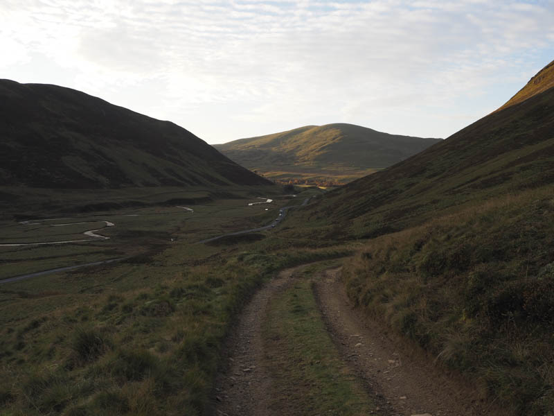
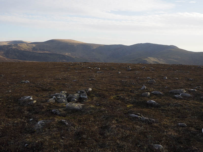
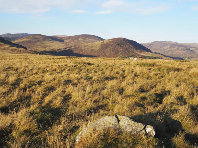
From here I descended east across heather and grass to reach an ATV track that dropped to the crossing of the Allt Coire Shith before gradually climbing to the vehicle track used earlier which was followed back to the start.
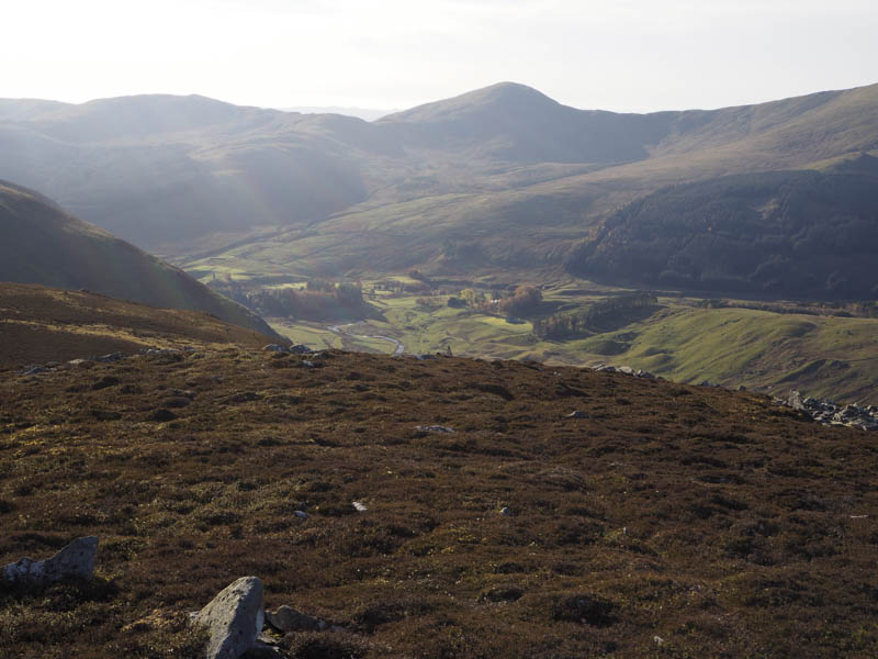
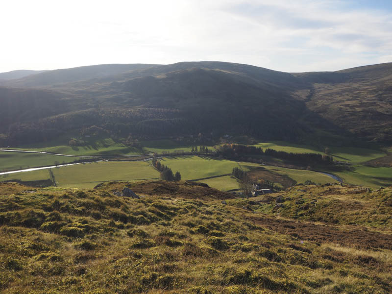
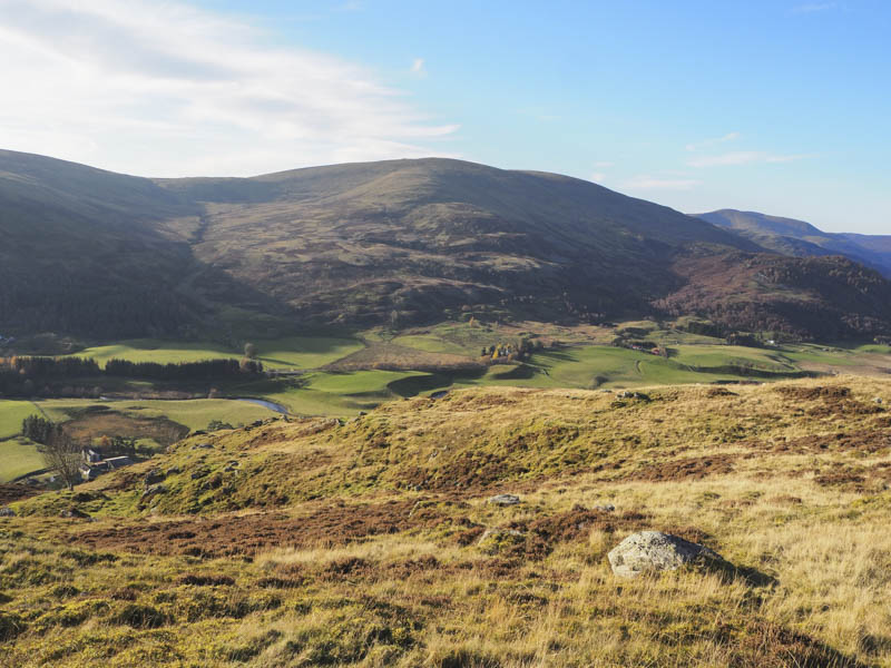
Creag na Bruaich – The start of this walk was the bridge over the Shee Water leading to Broughdearg Farm but there was no obvious place to leave my vehicle so I drove another 500 metres south on the A93 Braemar to Blairgowrie Road to a parking area near Finegand Farm before walking back along the A93.
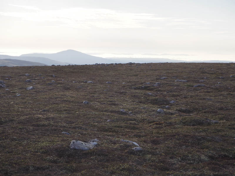
After crossing the Shee Water I walked to Broughdearg Farmhouse, which was under renovation, and spoke to a couple who were viewing the property as it was up for sale. I then headed to a stock gate which gave access to the open hillside and consisted of boulders, grass, heather and concealed hollows making the steep climb a bit awkward. Higher up the gradient eased as I crossed heather and grass to a small cairn which apparently marked the summit of the Tump, Creag na Bruaich.
I sat around the summit for a while before returning by the upward route.
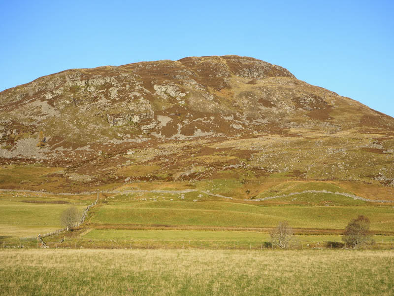
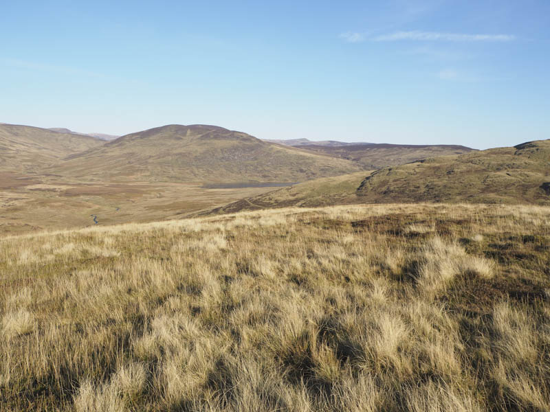
Carn an Fhidhleir – As it was still sunny I planned to climb another hill before the sun set and decided upon the Sub Dodd, Carn an Fhidhleir, located north of the B951 Glenshee to Kirriemuir Road. I parked at Meikle Forter Farm on the minor road to Glen Isla and walked north along a vehicle track to the cottage at Bolyell where the track turned west.
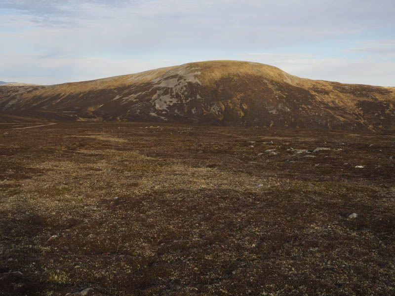
I later left this track and crossed some rough grass to reach a grassy vehicle track which I wasn’t aware of. I later left it and crossed more rough grassy vegetation to reach the summit of Carn an Fhidhleir. The highest point appeared to be a large boulder.
I discovered that the grassy track actually passed to the west of the summit so I used the track for part of my descent before returning by the upward route.
- Total time – 6.5 hours.
- Total distance – 18.5 kilometres.
- Total height climbed – 1090 metres.