I parked at the end of the public road in Glen Prosen, accessed from the town of Kirriemuir in Angus. It was sunny but slightly chilly as I set off along the vehicle track passed some buildings and houses. The track then headed north-west above the Prosen Water and passed the property at Old Craig which appeared unoccupied. By this time it had warmed up. The rut was in progress although I never spotted the roaring stags.
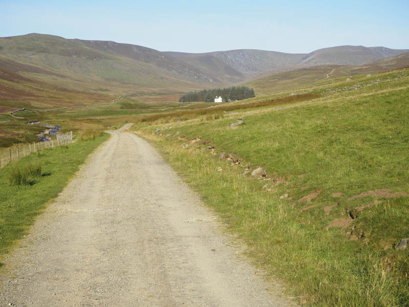
The track later crossed the stream via a bridge and after over five kilometres I came to the house at Kilbo positioned on the opposite side of the Prosen Water.
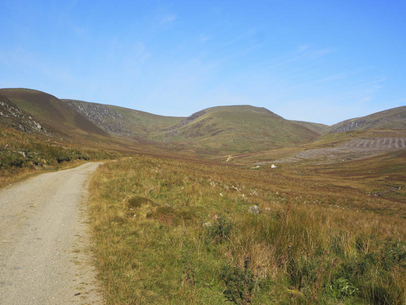
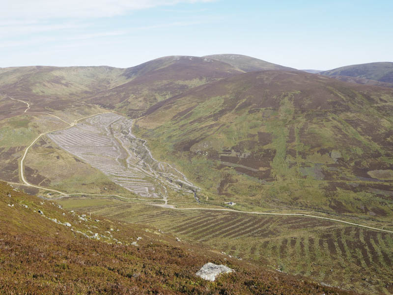
Contrary to the map it was no longer a ruin having been rebuilt with shutters covering the windows. Beyond this house I left the track and followed the edge of the fence that enclosed an area where the trees had been cleared and the ground returned to rough grazing for the sheep. Initially there were traces of an ATV track but it was replaced by animal trails and there was some wet and boggy ground to cross.
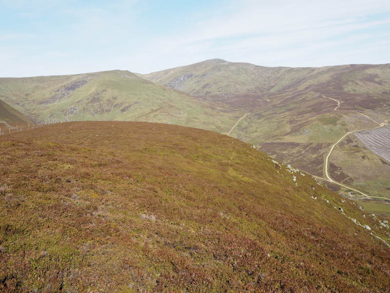
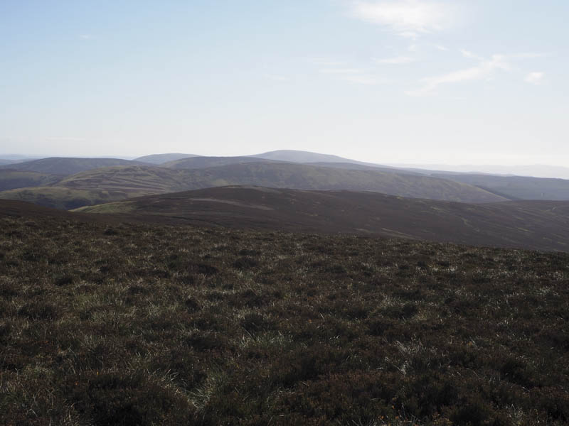
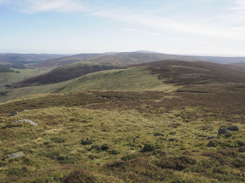
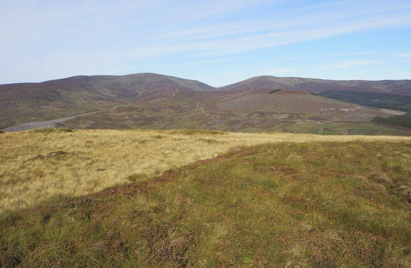
On this ascent I stopped for a break with views across the glen to the Munro, Mayar.
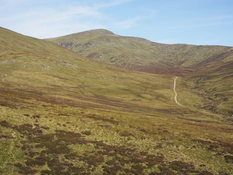
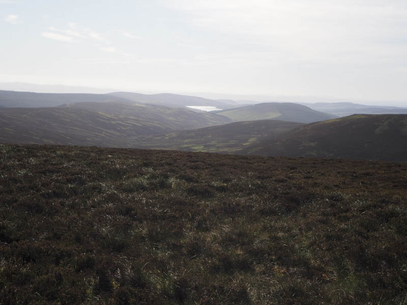
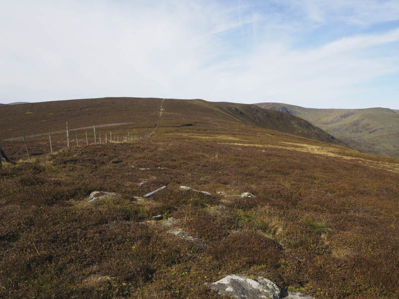
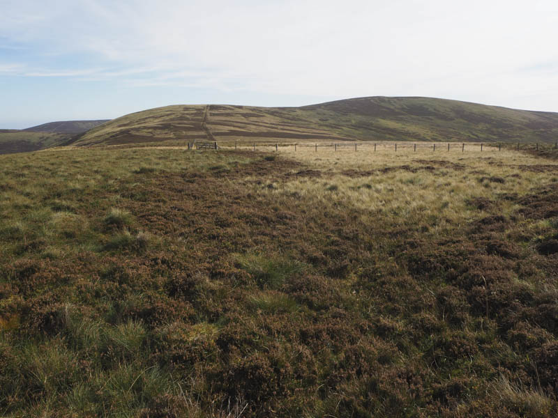
Through binoculars I could see folks on its summit, the only people I saw on this outing. I later continued up the side of the fence then across heather to above the Glack of Balquhader where I came across a couple of fences, one a low level electric fence the other a deer fence topped with an electric wire. I followed an ATV track up the side of these fences to the summit of Craigie Thieves the highest point of this Hump and Graham Top being a rock beside the deer fence which fortunately I didn’t need to cross.
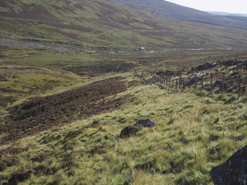
The descent south then south-west, still using the ATV tracks beside the fences, led to the col with Badda na Goibhre.
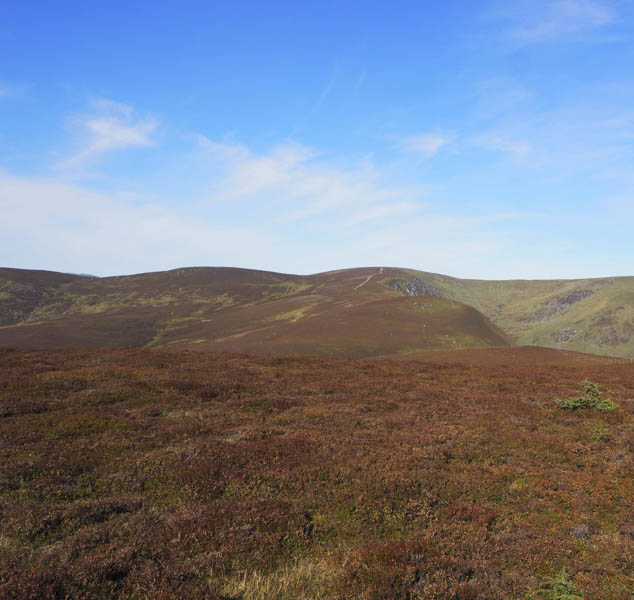
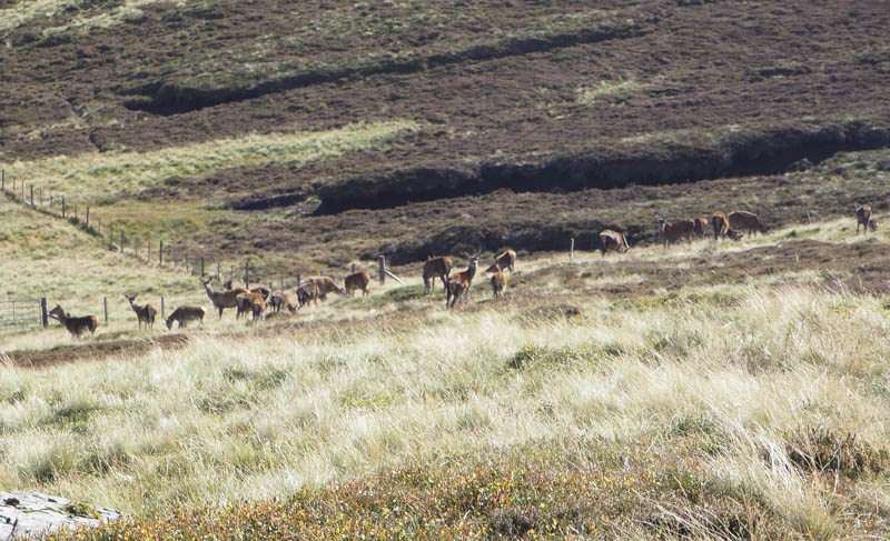
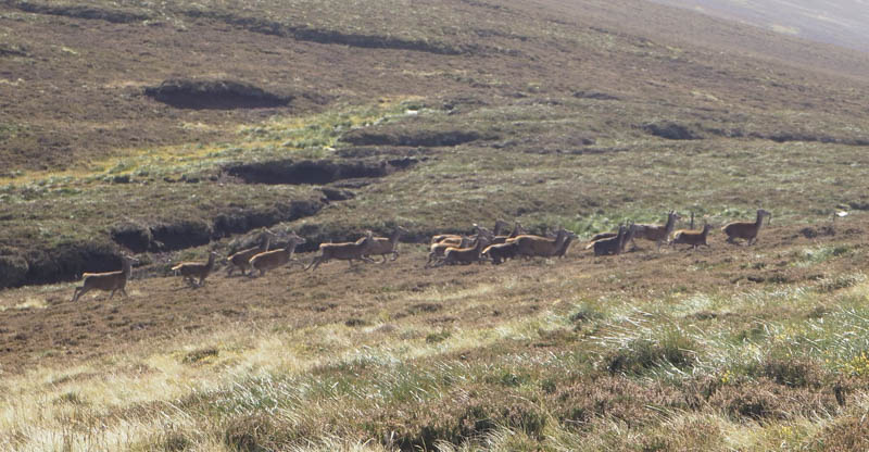
I ascended this Sub Simm visiting a couple of highpoints to the south-east of these fences which was possibly the summit. I returned to the col with Craigie Thieves then walked through heather onto its south-east ridge where I descended on an ATV track to just below the col with The High Tree where I disturbed a herd of deer.
On passing through a stock gate I continued along the track before crossing a fence and climbing through heather then along another ATV track to the summit of this Sub Simm, marked by a cairn and where I took another break.
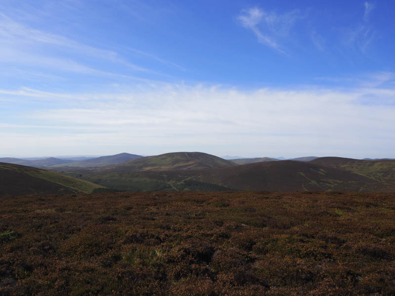
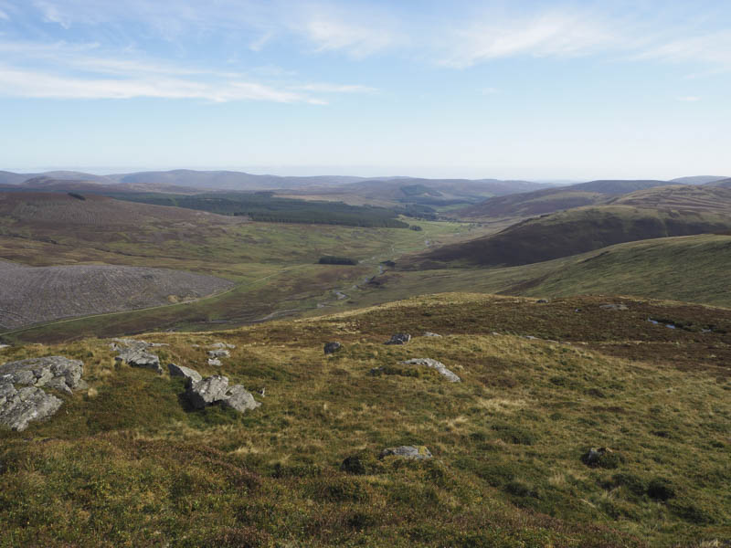
The final hill of the day was around a kilometre to the east but was separated by a steep gully so I descended south on the ATV track later leaving it and descending south-east to cross some wet ground. Here tracks led towards Bruntshields then rough tussocky ground and a stock fence were crossed to reach the summit of this Tump, a heathery tussock.
An ATV track led to the col with Eskielawn and here I crossed the fence and joined another ATV track. This track, which was a bit muddy in places, descended through a gully. Lower down it deteriorated and became wet and marshy. On reaching the Prosen Water I spotted a footbridge a short distance upstream. It was a bit shoogly but most of the wooden slats appeared to have recently been replaced. There was also a new wee stile over a stock fence. This took me into a field then to the vehicle track used earlier that day followed by a short walk back to the start.
- Time taken 5.75 hours.
- Distance – 17 kilometres.
- Height climbed – 590 metres.