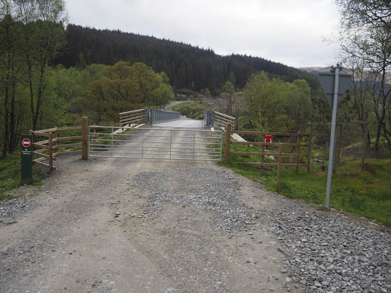
I left my vehicle in Glen Orchy on the east side of the B8074 Bridge of Orchy to Dalmally Road, in the new car park beside the Eas Urchaidh, and crossed the road and the substantial bridge over the River Orchy. This gave access to the upgraded forest track heading north-west and signposted mountain access.
I later left this track, route signposted, and headed along an older forest track above the west then later the south bank of the Allt Broighleachan. After around a kilometre there was another sign for the hill route which took me over this stream via a footbridge and along its north bank later rejoining the vehicle track at a ford.
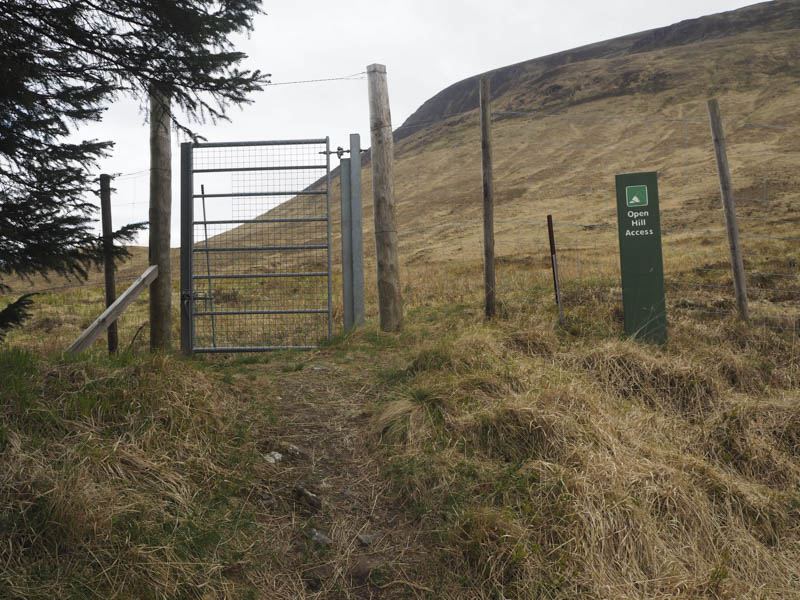
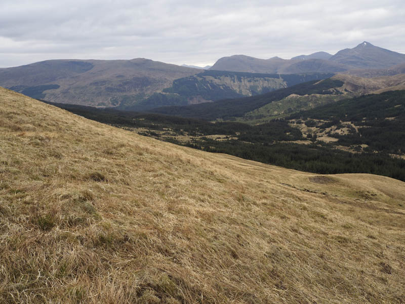
The route then continued for another couple of kilometres although at another ford the vehicle track narrowed to become a path which was in good condition. On reaching the westerly extremity of the pine forest there was a metal gate giving access to the open hillside and to Airigh Chailleach (Shielings).
Here I commenced the ascent of Beinn Mhic-Mhonaidh, crossed the Allt Chailleach, and followed a walker’s path north-east.
This path later disappeared as I kept to the east of Coire Chailleach and climbed to the summit of Beinn Mhic-Mhonaidh during a few snow flurries. The cairn and shelter weren’t the highest point of this Corbett it was 50 metres ESE above Coire Chailleach.
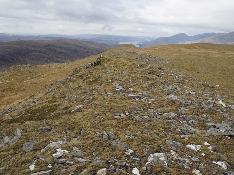
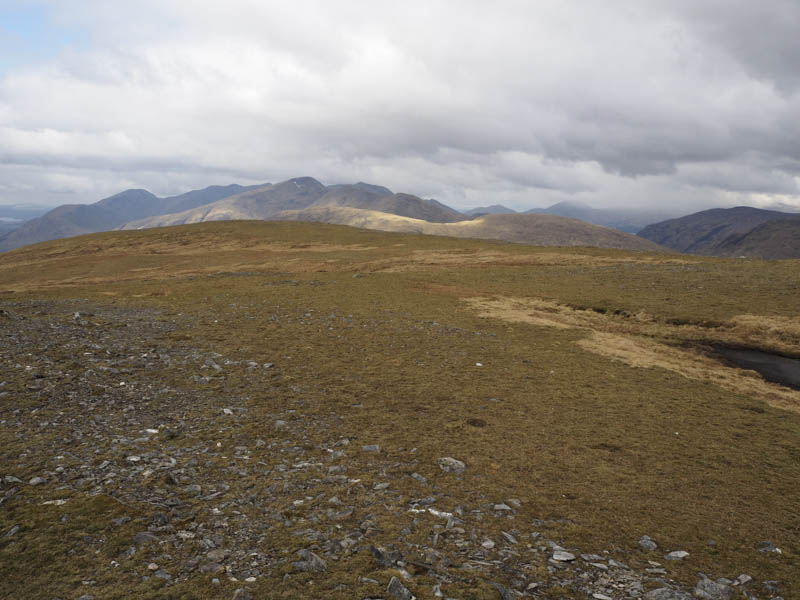
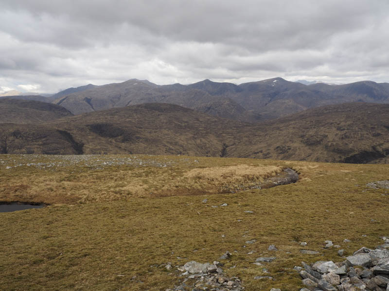
I descended east to the col with Beinn Mhic-Mhonaidh’s East Top then made the easy ascent to this Graham Top. The gate giving access back into the forest was now over two kilometres away so I headed in that direction, south-west, but later descended south to the Easan Caol where I had spotted a possible route through the forest thus saving around a couple of kilometres.
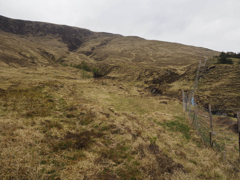
At grid reference NN219342 I crossed a deer fence and entered the trees many of them stunted. The walking here was a lot easier than I expected as I followed the edge of a stream. At one point there were a few mature fir trees to pass using the bed of the stream which was fairly low. The final section crossed some tussocky ground before I rejoined the track (at grid reference NN219332) used on the outward route and followed it back to the start.
- Time taken – 5.5 hours.
- Distance – 14.25 kilometres.
- Height climbed – 805 metres.