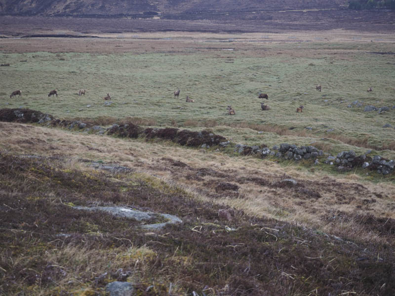
Parked at the Spittal of Glenmuick, south-west of Ballater, then set off passed the buildings there and onto the vehicle track heading for the east shore of Loch Muick.
Prior to reaching the loch a vehicle track headed south up the Capel Mounth which I followed to west of Black Hill.
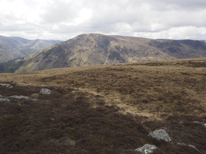
Here I left the track and walked across mainly heather to reach the summit of Black Hill where there was a cairn which may have marked the highest point of this Graham Top.
I then headed south on an ATV track before leaving it and descending through heather and grasses to the Allt Darrarie. Once across it I climbed through peat hags and heather to the summit of Black Hill of Mark where there was also a cairn but apparently the highest point of this Corbett Top was some heather slightly to the south although which piece of heather wasn’t obvious.
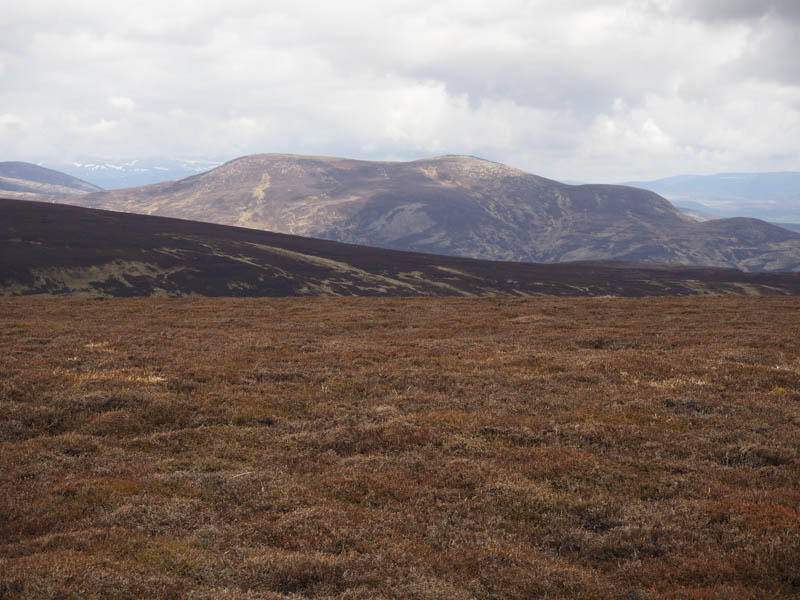
The County Boundary was then followed south over Marley but there was nothing marking the area between Aberdeenshire and Angus. However there were lots of peat hags but they were easily crossed or utilised to make some progress through the area. I then climbed onto the north-east ridge of Lair of Aldararie, a Sub Simm, and onto its summit which wasn’t obvious.
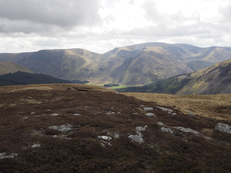
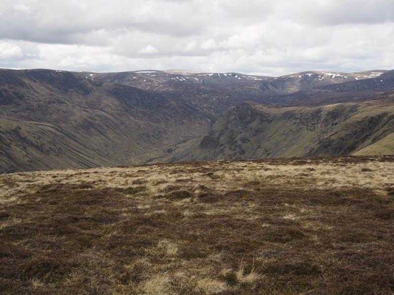
The descent to the col with Ferrowie was through a mixture of grasses, heather and peat hags before climbing the obvious summit of this Corbett Top. The route north-west continued to follow the County Boundary through more rough vegetation, across the Capel Mounth track, some boggy ground and peat hags. I then climbed through heather and grass to the cairn marking the summit of the Graham Top, Dog Hillock.
I descended north-west then north across more rough vegetation on mainly level ground to reach and cross the Black Burn. I then ascended Broad Cairn East Top, a Sub Simm, before heading off north-east to join the vehicle track high up above Loch Muick.
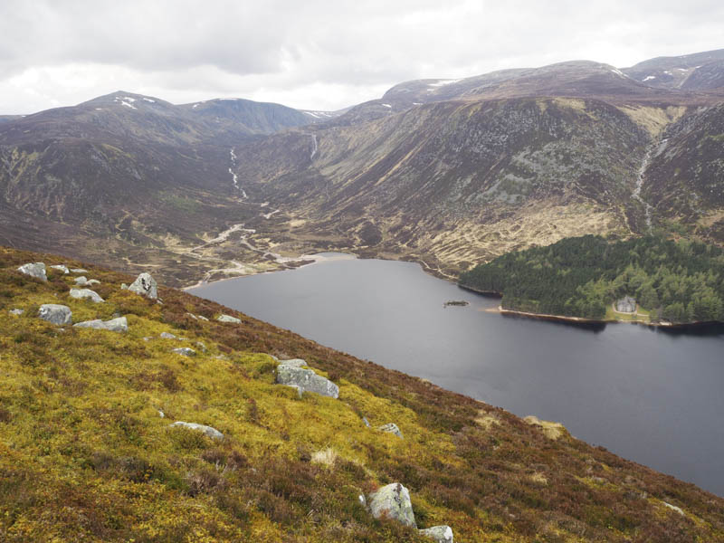
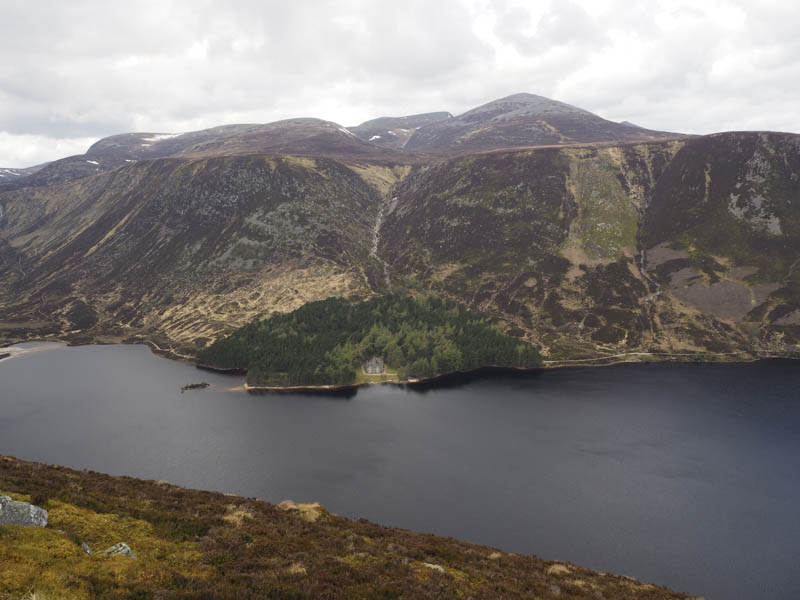
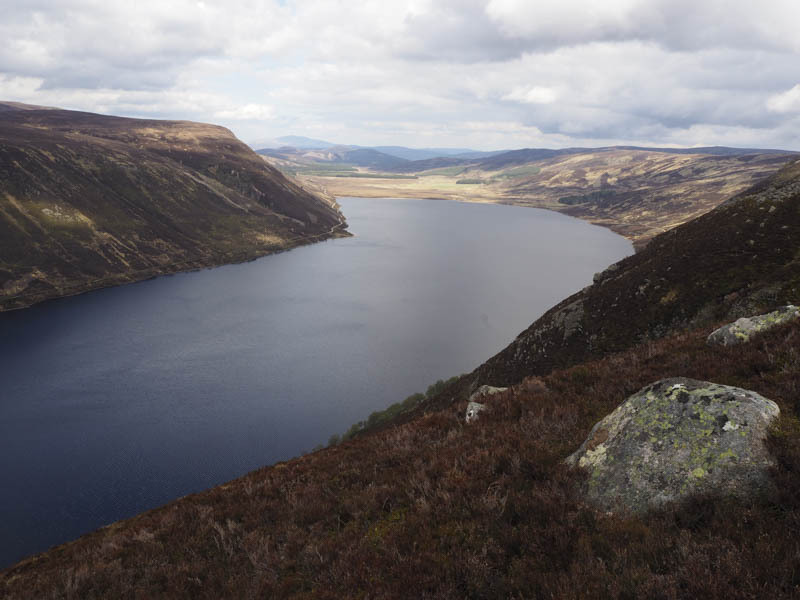
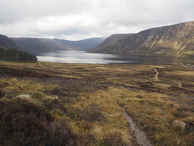
This track later descended through a serious of zigzags towards the loch then along its east shore back to the car park.
- Time taken – 7.5 hours.
- Distance – 23 kilometres.
- Height climbed – 900 metres.