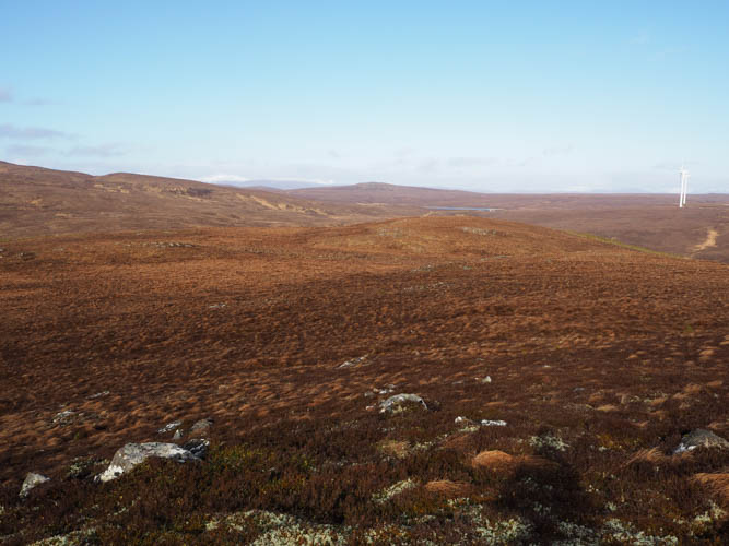
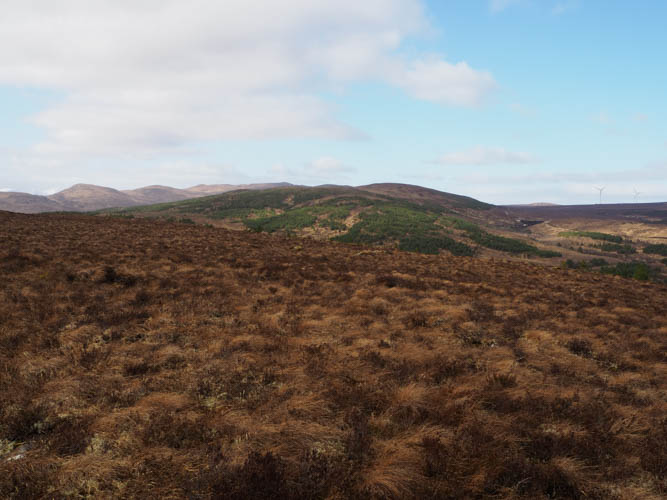
It was back to Glen Moriston to climb a couple more of the numerous Tumps in this area. I parked on the verge on the south side of the A887 Invermoriston to Bun Loyne Road just west of the hamlet of Bhlaraidh and walked back to Bhlaraidh then north up the tarred road passed the few houses there to a locked gate. Easy enough to walk round it followed by a steady climb on a vehicle track which was in a reasonable state.
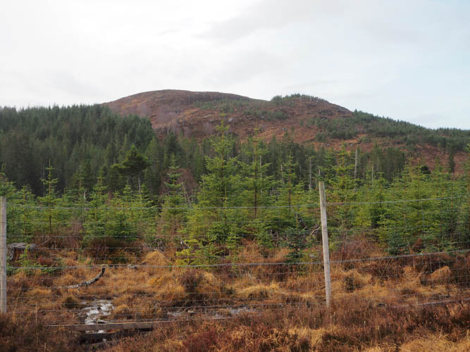
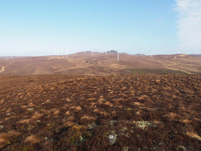
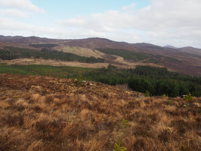
At NH37761717 the estate track merged with a wider wind farm track which commenced on the A887 to the east of Bhlaraidh. The gradient was much the same here and at another track junction, NH37511778 I went left, west, with a short descent to cross the bridge over the Allt Loch a’ Chrathaich followed by a slight rise to emerge from the trees.
There was a bit of a cool breeze now out of the protection of the trees, although the area was still fenced off from the deer.
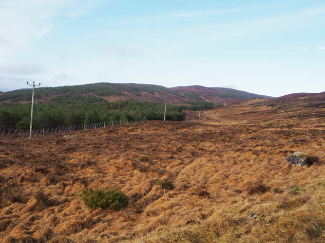
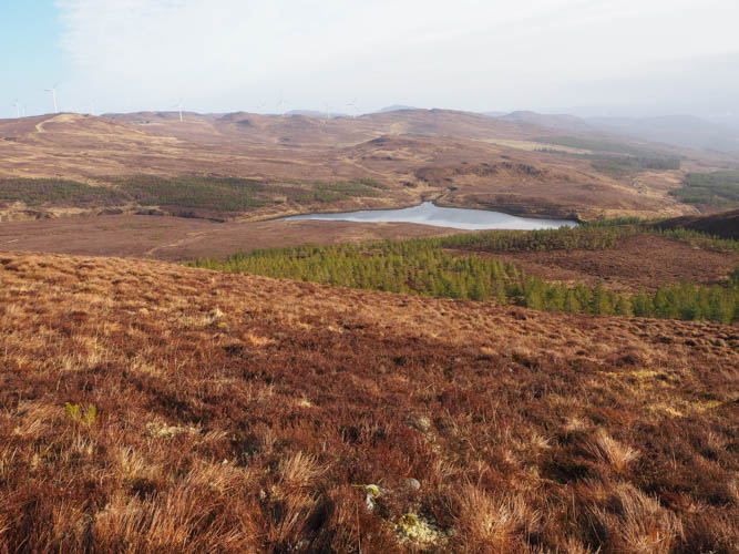
The walking was easy and led to Bhlaraidh Dam and Reservoir.
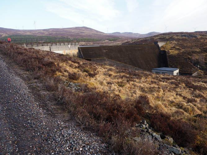
The track continued west rising above the Reservoir until I was below the summit of Meall na Faiche. Here I left the track, climbed over a deer fence, and commenced the ascent of this Tump. Initially it was through some well-spaced small conifers, which appeared a bit stunted, then through dead vegetation, a mixture of heather, grasses and moss, to its highest point which appeared to be a small cairn.
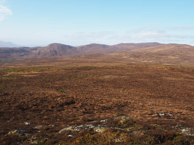
After a break nearby sheltering from the breeze I initially descended south but soon turned south-east, easy enough walking at this point except for a few boggy sections. The route then became a bit more complicated as I wound my way through small conifers and some rough vegetation attempting to remain as high as possible.
This took me to the west of Carn Coille Bhlaraidh followed initially by a short steep climb then it was through more trees, a bit taller than what I experienced earlier but still well enough spaced. The highest point of this Tump appeared to be just some rough vegetation.
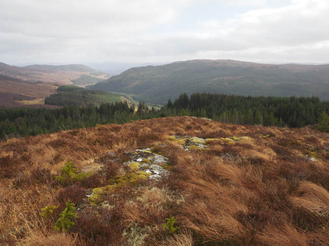
From this point on I didn’t have a route plan other than trying to avoid the descent north to re-join the approach track for Meall na Faiche. I headed east to the deer fence which was then followed south looking for a fire break but to no avail. Beyond Loch a’ Bhainne the trees were slightly better spaced, so I climbed over the deer fence and walked north-east to avoid wind-blown trees, later turning east. There were some deer tracks to follow and a few steep drops before I came across a boggy fire break with more fallen trees. This took me to the small quarry which I was aware of, its track led to the A887, then a short walk east led back to my car.
- Time taken – 4 hours 55 minutes.
- Distance – 11.5 kilometres.
- Height climbed – 510 metres.