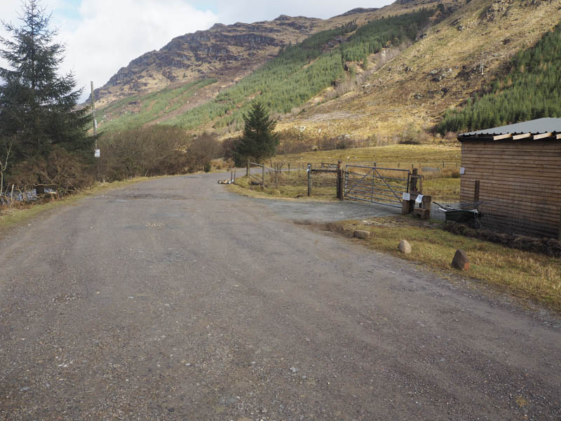
We set off from the end of the public road in Glen Massan, accessed from the A815 north of Dunoon, and walked north-west on a good quality vehicle track.
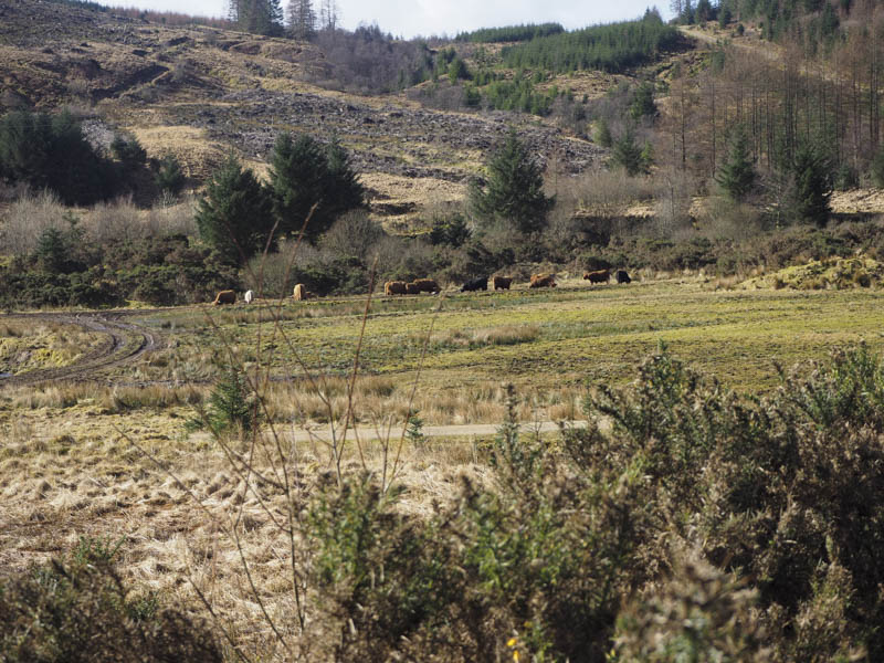
On reaching Glenmassan Farm, where the cottage was used as a holiday home, the track was obstructed by Highland cattle waiting to be fed by the farmer. There were also a few very young calves but their mothers appeared more interested in food than us as we wandered between them.
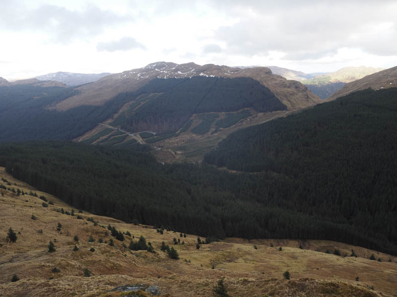
Beyond the farm a track headed north through the forest initially on a slightly different line than shown on the map.
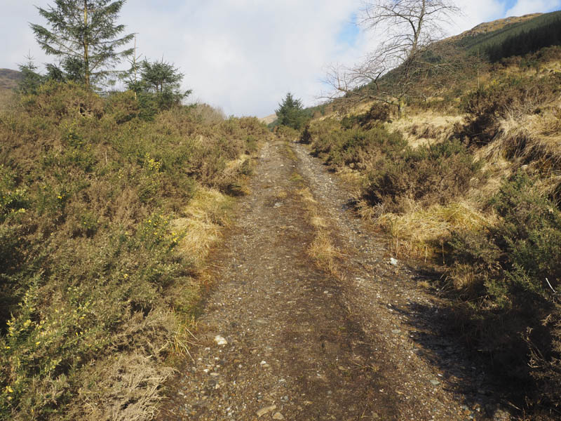
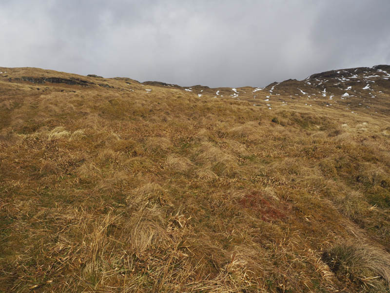
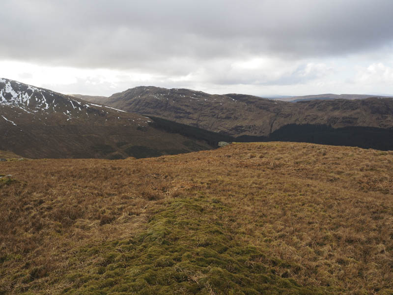
As we got deeper into the forest the track deteriorated and there were a few fallen trees blocking progress. Eventually a wet path emerged onto the open hillside and we gained Beinn Mhor’s South-West Ridge.
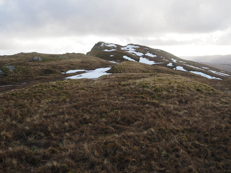
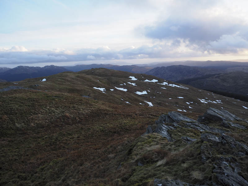
A relatively easy stroll led to the trig point marking the summit of this Graham where we encountered the first snow shower of the day.
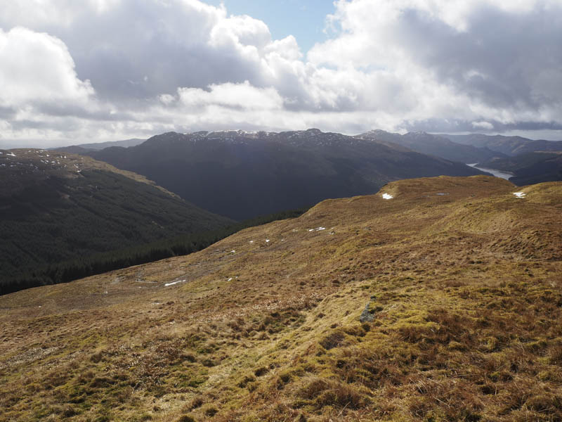
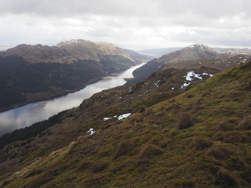
It was decided to continue to the Graham, Beinn Bheag. This involved a long descent to the Bealach Bernice avoiding most of the snow fields. A fairly steady climb led to the summit of the Tump, Meall Breac South Top, and an easier walk to Meall Breac, a Sub Dodd, then to the summit of Beinn Bheag.
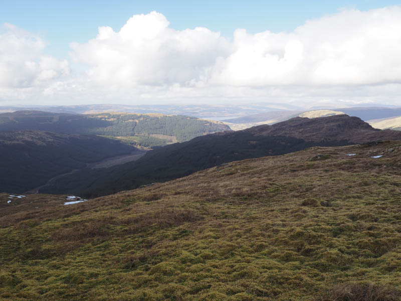
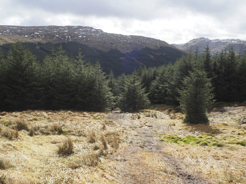
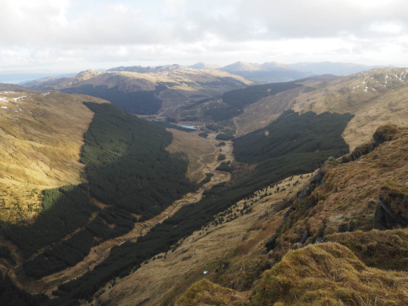
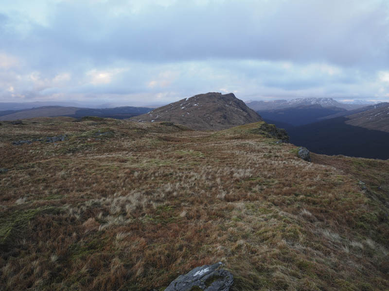
After a break here we made a more direct return to the edge of the forest west of Bealach Bernice with the intention of climbing Creag Tharsuinn. A forest track, not shown on the map, was reached and followed north-west towards a point between Garrachra Glen and Glen Shellish. The track swung round to the north and at a large bend an old forest track was explored later leaving it and walking through some windblown trees onto the open hillside.
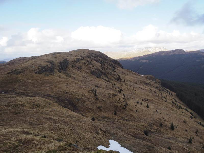
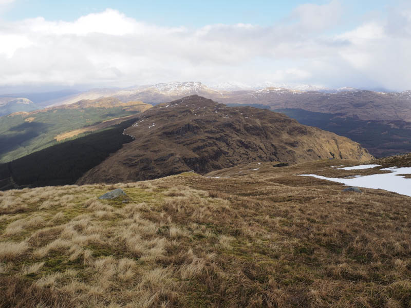
It was a steep climb, the gradient easing slightly higher up, and took us onto Creag Tharsuinn’s North Ridge followed by a steady climb to the summit of this Graham marked by a flat rock.
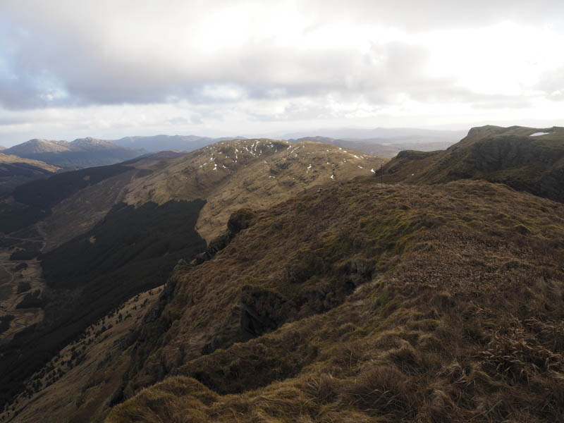
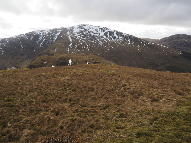
There was no time to linger as we still had a bit of ground to cover. It was an easy descent to the Bealach nan Sac then we climbed the Tump, Meall Dubh.
The sun was now setting and we still had a bit to go to locate the track spotted earlier in the day as a descent route. We continued to the trig point on Carn Ban then descended across some rough ground to reach the track between mature trees and a harvested area, grid reference NS080879.
The track was quite rough and in places muddy as it meandered through the brash eventually reaching a vehicle track just north of Garrachra. Here the house had recently been extended and modernised. The track bypassed this property to the west before crossing the River Massan via a bridge. It was then onto Glenmassan Farm where in the dark we came across Highland cattle blocking the track. There was no option but walk between them but fortunately they never moved. The return down Glen Massan was in the moonlight with no requirement for head torches.
- Time taken – 11 hours.
- Distance – 24.75 kilometres.
- Height climbed – 1795 metres.