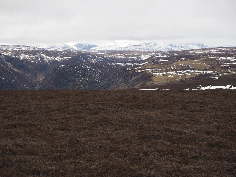
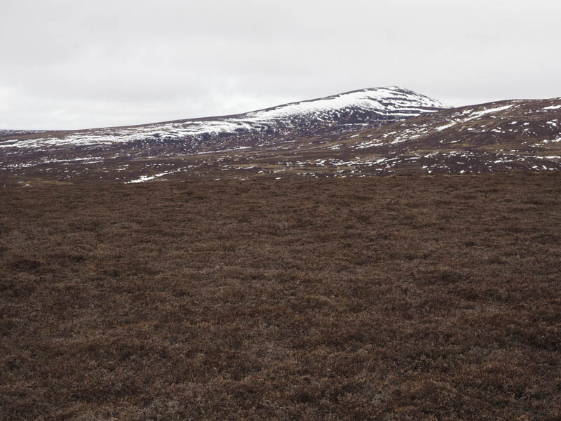
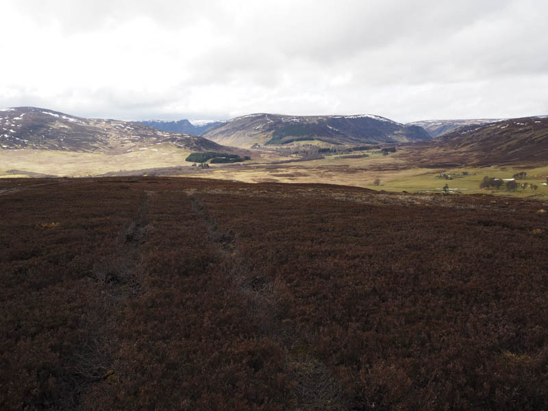
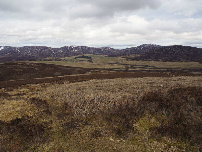
Round Hill: From the car park at the head of Glen Esk in Angus I walked north-west along Glen Mark to just beyond the crossing of the Burn of Glascorrie. At this point I climbed north on a vehicle track containing patches of snow to above Glas Corrie and onto the summit of Round Hill. The highest point of this Graham Top was apparently some heather and grass 150 metres north of the cairn although it was far from being obvious. The return was by the ascent route.
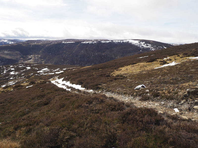
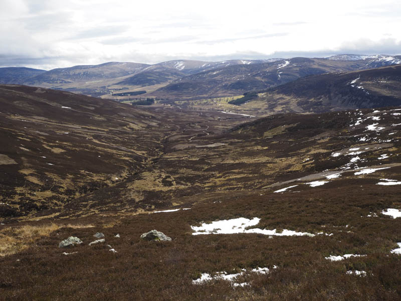
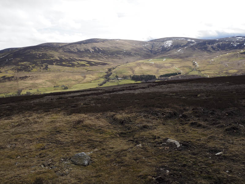
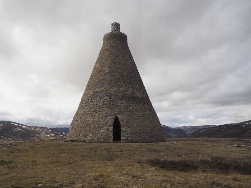
Hill of Rowan: I left my vehicle in the car park at Tarfside in Glen Esk and walked west along the road crossing the bridge over the Water of Tarf and briefly onto the road leading to Milton. Here I passed through a stock gate and followed a vehicle track that gradually rose to the north side of Hill of Rowan. I later left this vehicle track and climbed a peaty path, the gradient increasing, to the summit of Hill of Rowan which was marked by a monument. After a break here I returned to the start by the upward route.
- Total time – 4 hours.
- Total distance – 15.5 kilometres.
- Total height climbed – 610 metres