This was to be a fairly long day as the plan was to climb the remote Graham, Mullach Coire nan Geur-oirean, from the east end of Loch Arkaig.
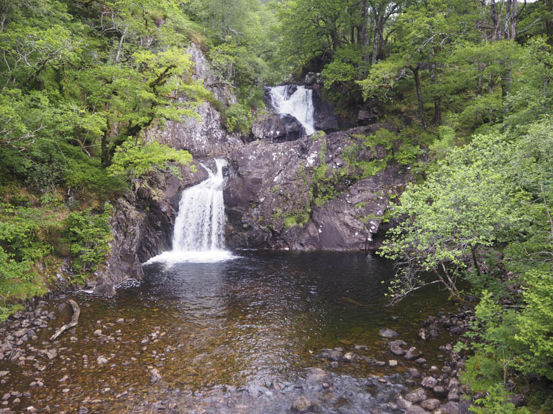
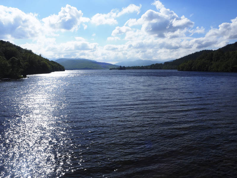
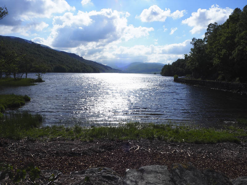
I left my vehicle in the car park to the east of the Eas Chia-aig (waterfalls) on the north side of the B8005 Clunes to Loch Arkaig Road at the end of Mile Dorcha. Once geared up I walked west along the road to the east end of Loch Arkaig then south along the private tarred road towards Achnacarry, crossing the bridge over the River Arkaig.
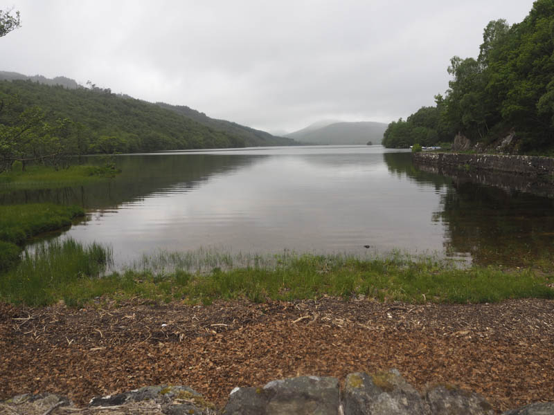
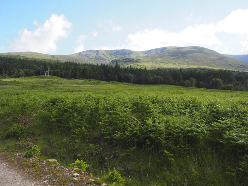
Beyond this bridge and at a ‘T’ junction I headed west along the estate track above the south shore of Loch Arkaig. This track had been upgraded and bridges reinforced to allow timber extraction as the estate over the next few years were removing non native trees but not during the bird nesting season, April to August, so there was no activity this day.
There were a few undulations as the track continued through the forest and well to the south of the bothy at Inver Maillie where I resided overnight on my previous visit to this Graham back in 2009. Although this changed line of the track was in existence then it still wasn’t shown on some maps, neither was the bridge over the River Mallie. There were also a couple of tracks leading off to the south but they were probably for use in removing the trees.
The track, which was in reasonable condition, continued west up Glen Mallie and above the line of the older track which was closer to the river. It gradually gained height and could easily be cycled if one liked the idea of a steady uphill cycle. On my previous ascent I left the track at an ATV track, grid ref. NN097876, just before it lost a bit of height, and was pleased to find the ATV track still existed. There was a wooden marked post on the south side of the main track.
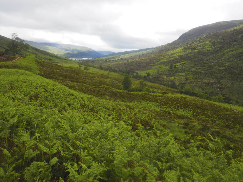
After a break here I set off up the ATV track which was initially dry but it soon turned wet and boggy but made for an easy ascent onto the east side of the Druim na Giubhsaich ridge where higher up there were a few wooden marker posts. I wanted to ascertain where the track went so I continued a bit further than necessary to discover that it descended towards the trees on the south side of Loch Arkaig.
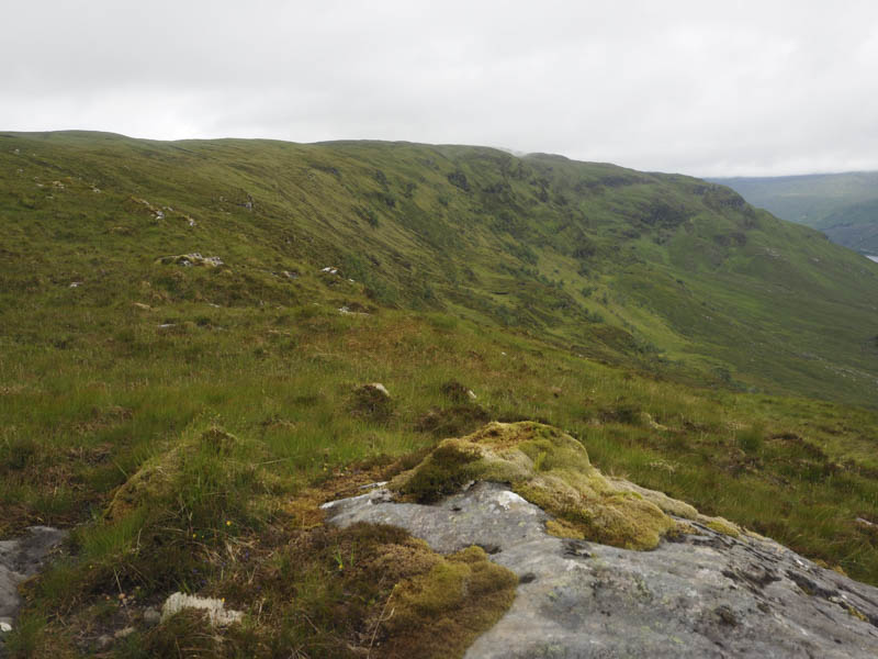
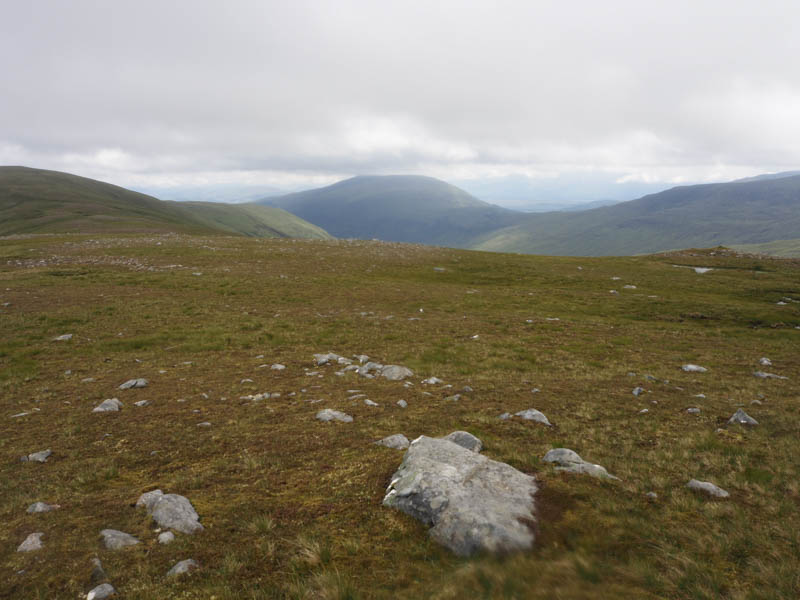
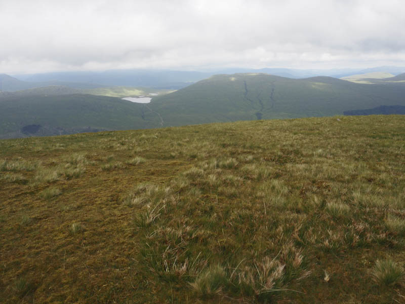
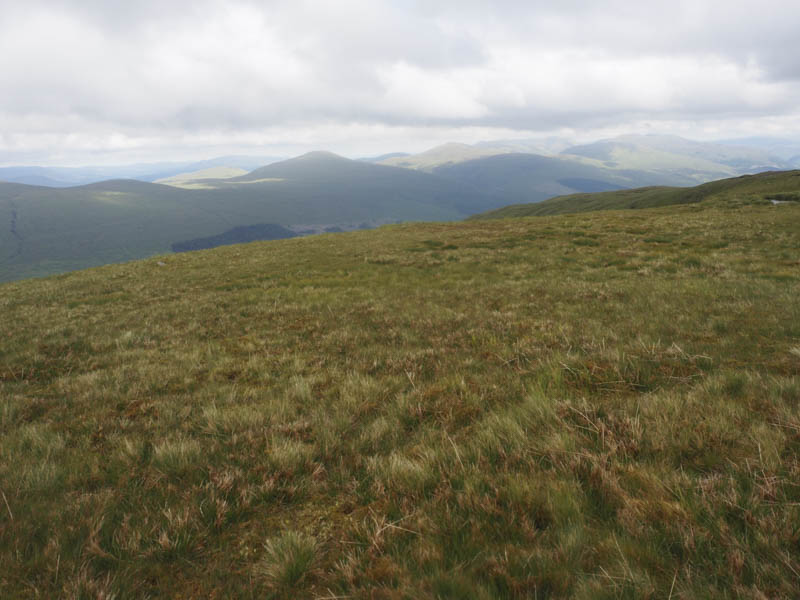
I left the track and worked my way along the north side of the ridge then onto this wide ridge which continued for around three kilometres.
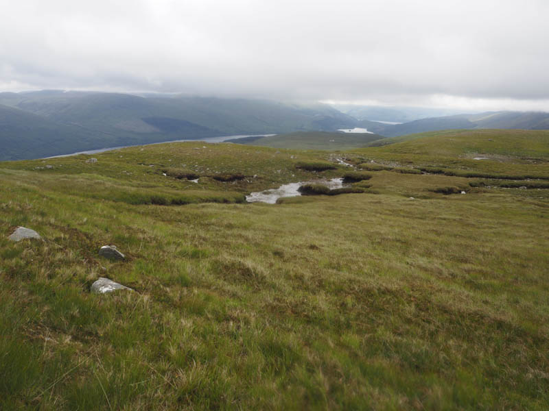
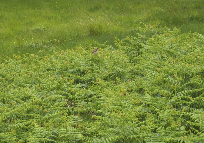
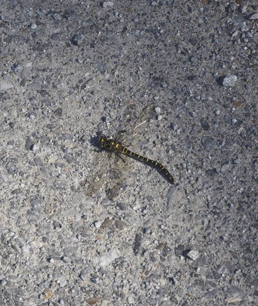
The walking was easy despite there being several peat hags but they weren’t a problem. Several birds including plovers weren’t happy with my presence there.
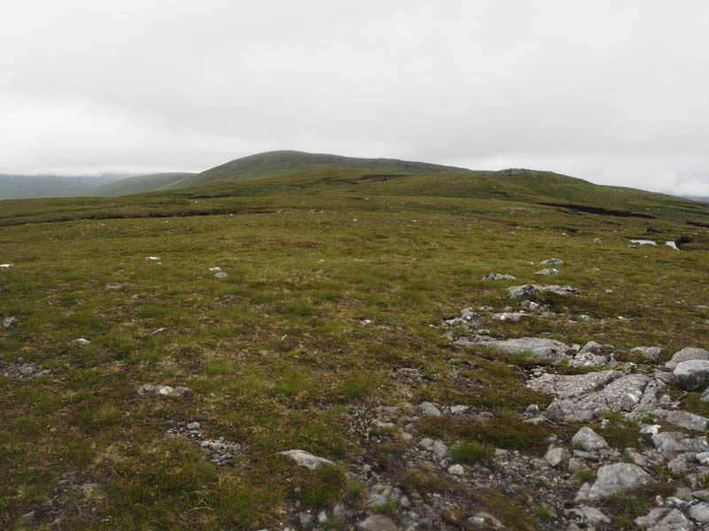
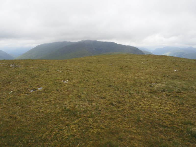
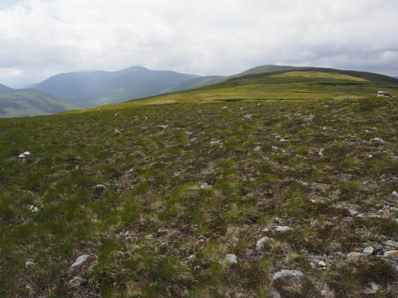
Once at the west end of the ridge I commenced the easy ascent of Mullach Coire nan Geur-oirean but as I approached the summit the hill was engulfed in cloud. I had been considering including the Graham Top, Mullach Coire nan Geur-oirean West Top, which was over 1.5 kilometres away, so on reaching the cairn marking the summit of the Graham I continued west descending to the col with its West Top. It was then an easy climb to the cairn marking its summit but it was also in the cloud.
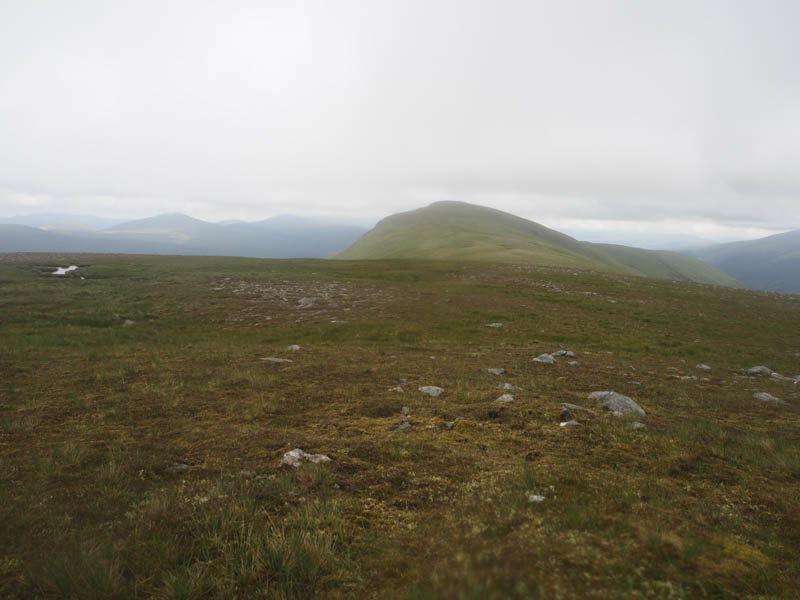
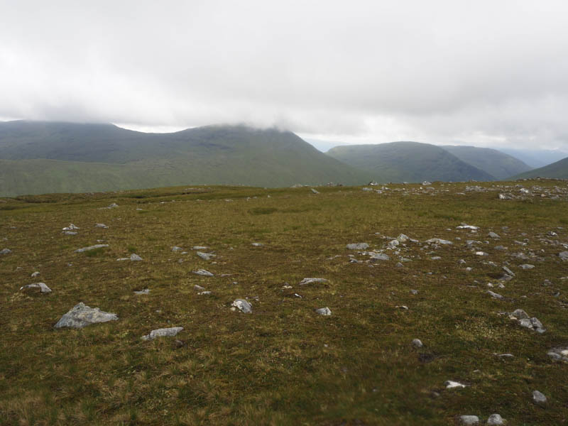
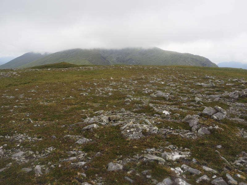
I sat nearby for lunch as the cloud gradually lifted so I had some views before returning to the main summit which was now clear of cloud.
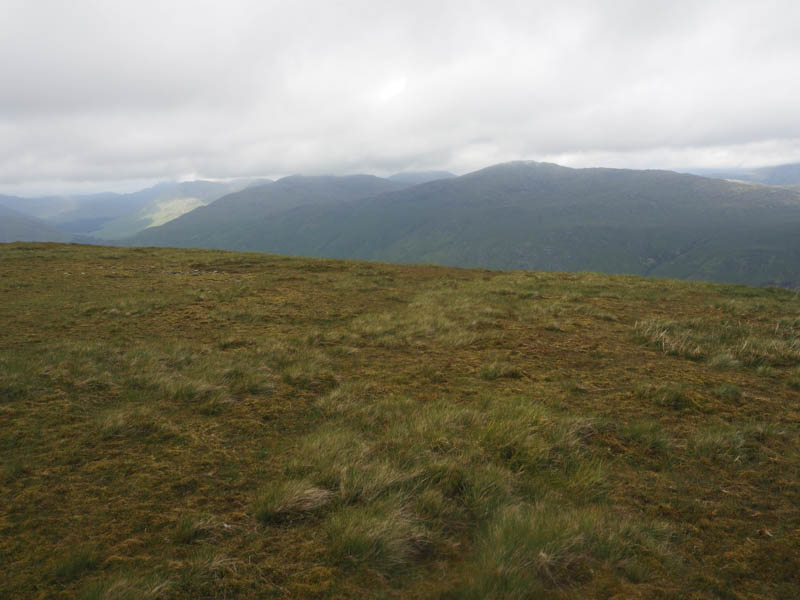
After taking photos I returned by the approach route although I stayed on the Druim na Giubhsaich ridge joining the ATV track some 250 metres south of where I had left it earlier that day.
- Time taken 9.25 hours.
- Distance – 32.75 kilometres.
- Height climbed – 1040 metres.