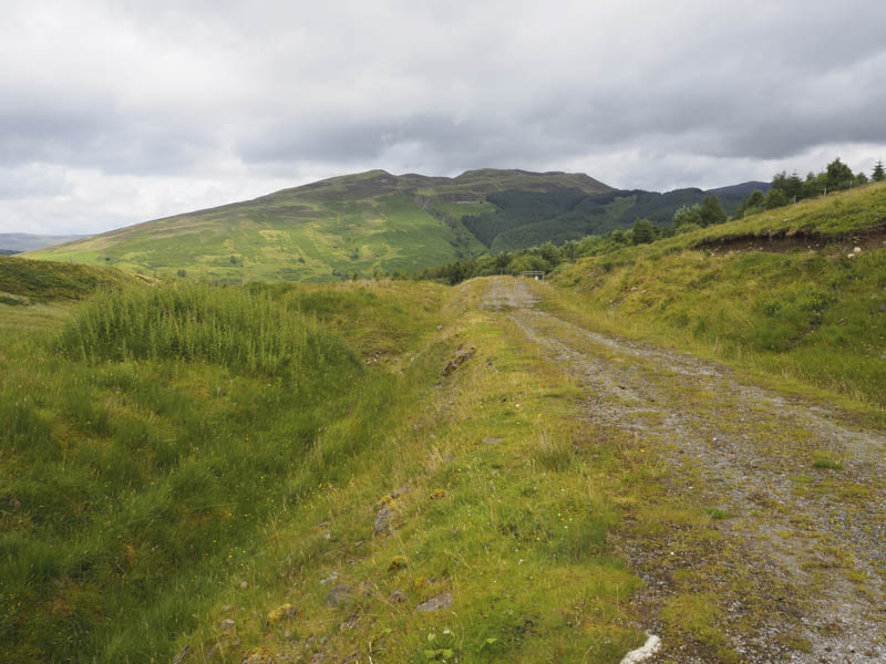
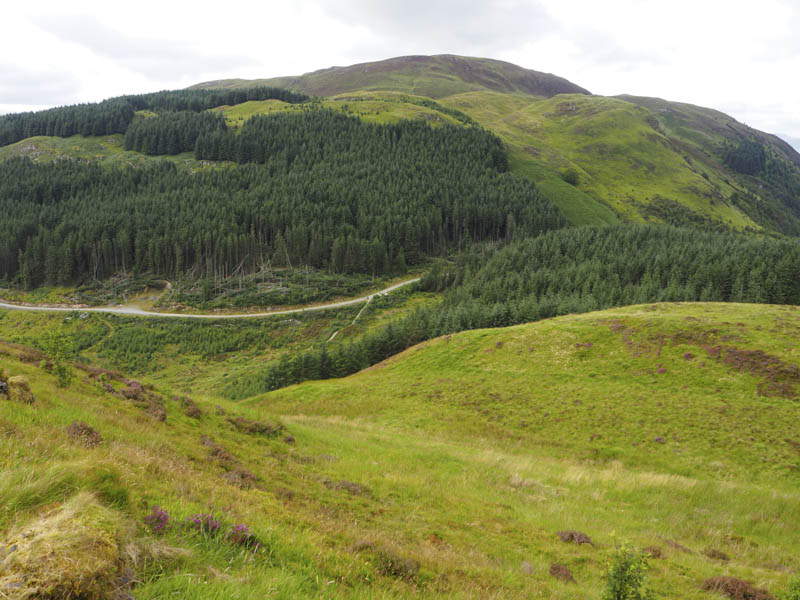
Druim Gleann Laoigh – This was another Graham Top I had missed out when I made my three separate visits to the Corbett, Meall a’ Phubuill. So it was back to Glen Loy to correct this deficiency. Glen Loy is accessed from the B8004 Banavie to Gairlochy Road, north of Fort William. The later stretches of the Glen Loy Road had been re-surfaced and the passing places extended, possibly for timber extraction. Refuse bins made parking on the vehicle track on the north side of the road immediately before the end of the public road difficult without blocking the track. I therefore opted to leave my vehicle in the extended passing place to the east.
I walked back to the end of the public road and went through a gate and the well kept grounds of Achnanellan House with its several varieties of trees. After a second gate I was onto the old pony track which led to the previous days starting point, Fassfern.
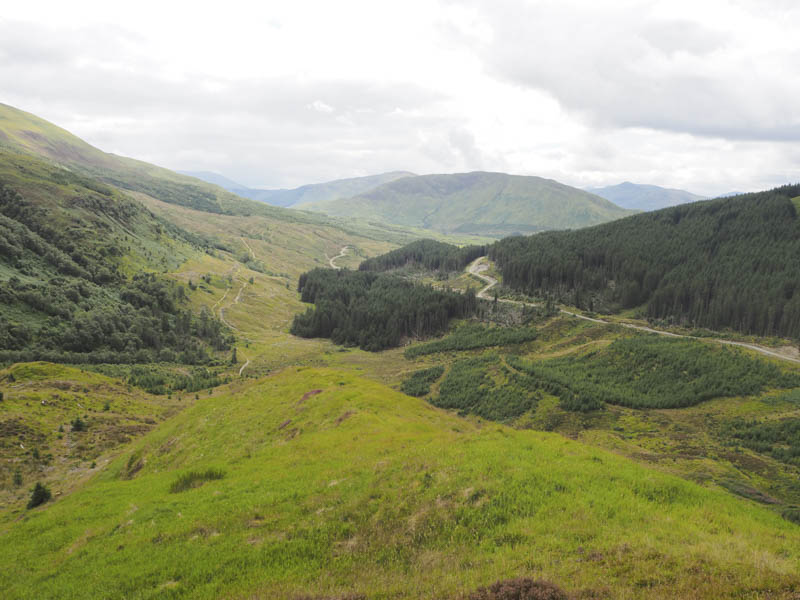
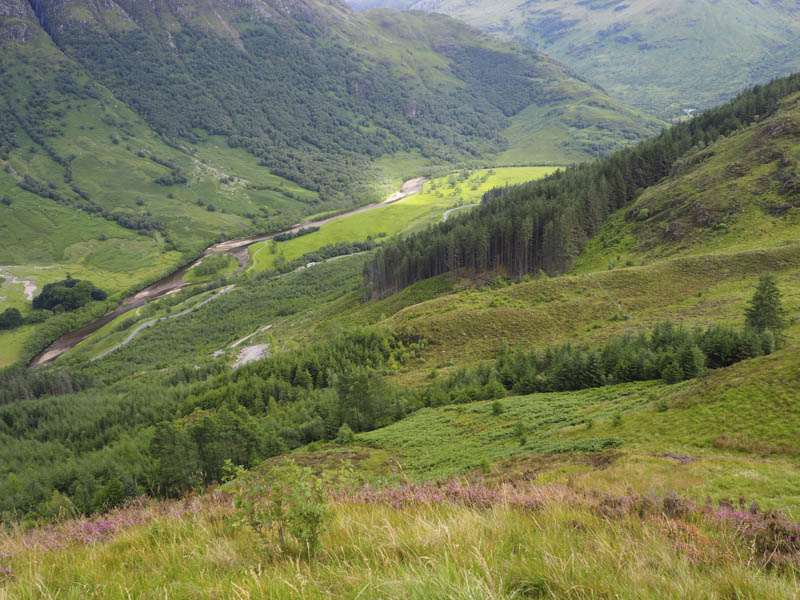
The track was a bit rough in places and after the forest I planned to leave it and climb onto the East Ridge of Druim Gleann Laoigh. There was some new fencing in the area so I went through a stock gate then along an ATV track which soon disappeared. I continued through the bog myrtle and heather to a deer fence and once across it the vegetation was of longish heather and some bracken.
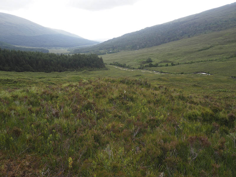
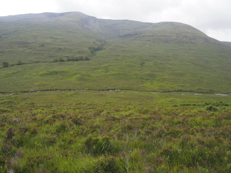
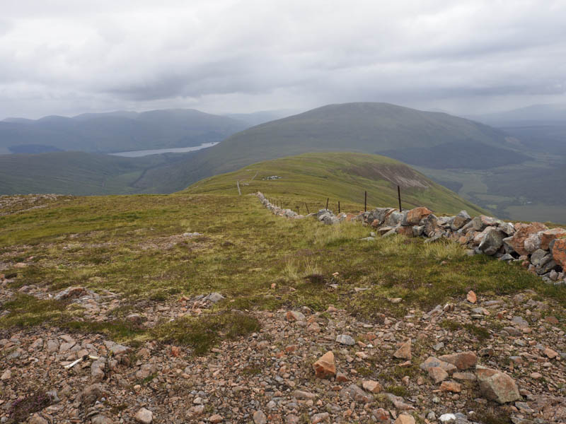
I then had a second deer fence to cross before zigzagging my way onto the East Ridge. Here light rain became heavier as I followed an old stone dyke and metal fence posts west.
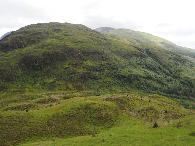
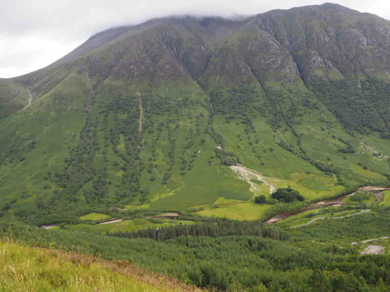
There was a lengthy break in the dyke before the final climb onto Druim Gleann Laoigh. A cairn marked its summit.
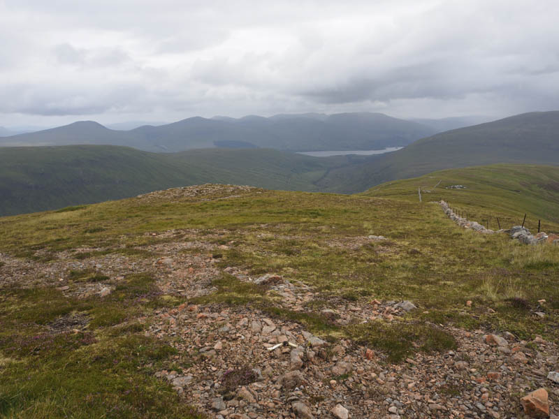
I descended south-east; the going was easy enough until lower down when it steepened with longish vegetation including bracken and some boulders making for slow progress. On reaching the vehicle track I followed it east back to the start.
An Dun – After my visit to Glen Loy I drove to Upper Achintore in Fort William and along the minor single track road to south of Blarmachfoldach. At the start of a vehicle track (NN098680) I managed to get my car off the road. The alternative was to head for Glen Nevis but parking there is at times at a premium.
I walked up the track towards the sheep pens and some parked vehicles. The occupants were out gathering sheep. Immediately prior to these sheep pens I went through another gate where the gradient eased.
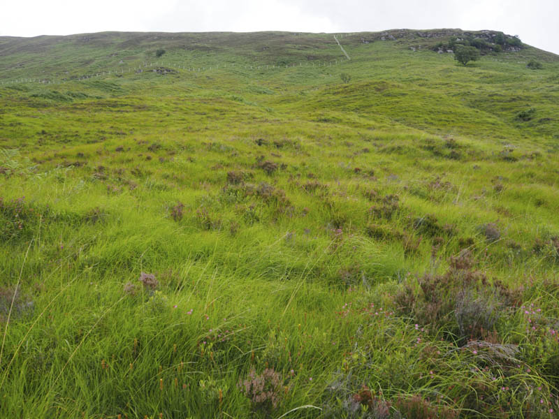
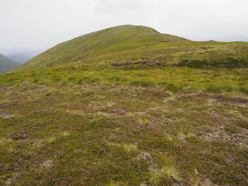
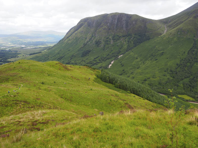
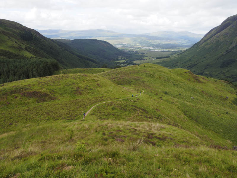
The track entered the trees and was soon replaced by a path, infrequently used, so I had to push aside some overhanging branches. This took me onto the West Highland Way (NN105682) which I followed north-east as it undulated towards An Dun. I passed several walkers, a few weary looking ones, and some going in the opposite direction.
The path then climbed north to the west of my target hill and to a notice board and signpost. A good path left the WHW and led to the summit of An Dun, an old fort, which I walked round to take in the highest point.
The return was by the approach route. At the sheep pens workers were shearing the sheep gathered earlier.
- Total time taken – 6.25 hours.
- Total distance – 18 kilometres.
- Total height climbed – 960 metres.