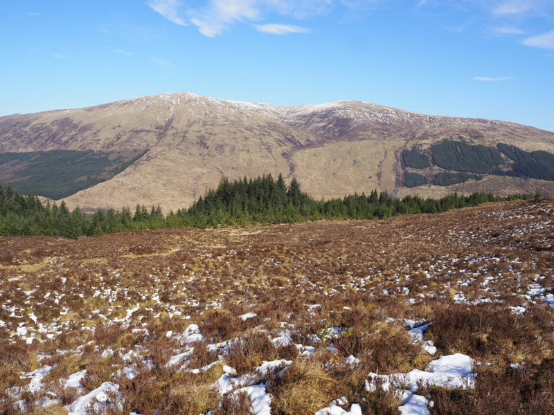
I parked at the start of the forest track opposite Inverskilavulin on the south side of Glen Loy, accessed from the B8004 Banavie to Gairlochy Road. Here there was a signpost for Stob a’ Ghrianain which took us along a forest track and passed a couple more signs. However we missed the one indicating the muddy path through the forest and into Coire an Lightuinn. On realising we were heading away from our intended destination I thought the track may double back through the trees and onto the open hillside.
The track began to lose height and we came across to a little used forest track that headed in the direction we wished to proceed. It gained a bit of height but came to an end at a deer fence which was followed up a snow covered firebreak through some rough vegetation and in places bog. Higher up the deer fence crossed the firebreak but there was a hole obviously used by deer. Once through the fence we continued up the firebreak although at one point we had to push our way through the branches. Eventually we reached the top end of the forest where a deer fence was crossed to gain the open hillside.
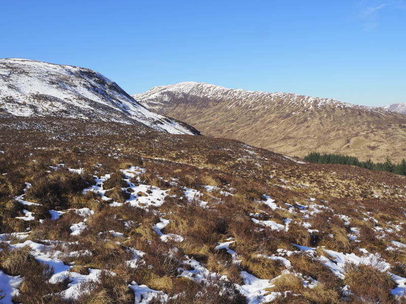
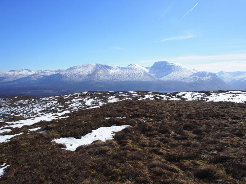
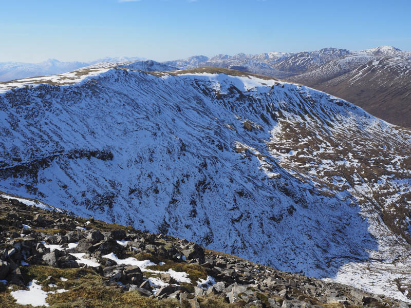
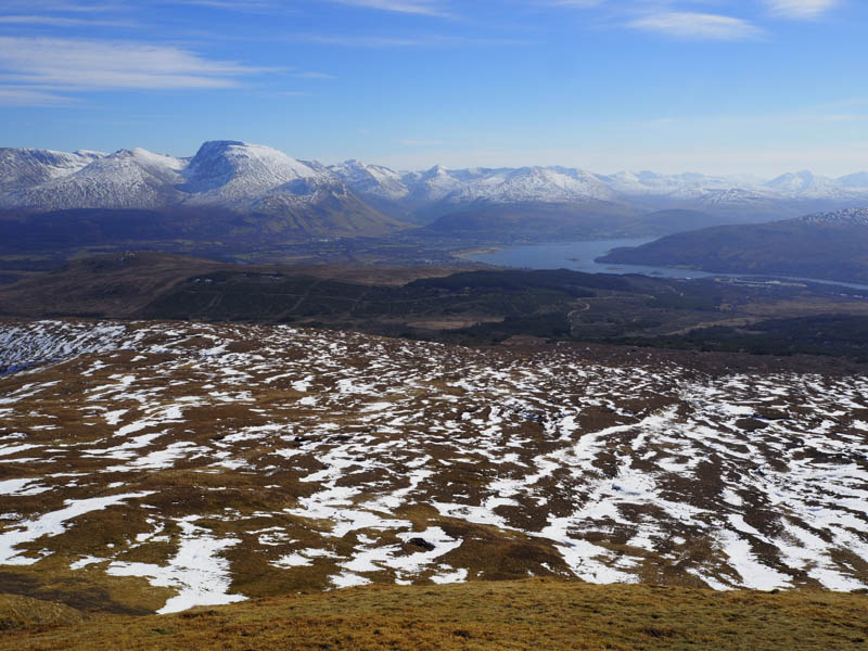
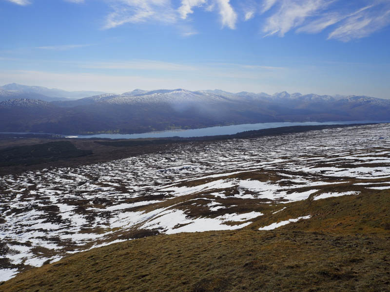
Snow covered heather was crossed as we headed onto Sron Liath then walked west along the ridge avoiding several snow filled peat hags. After over two kilometres we began the steady ascent of Stob a’ Ghrianain and on reaching the top visited the small cairn, which was apparently the summit of this Graham. A larger cairn and a mossy knoll were apparently of equal height so we visited them both before stopping for lunch.
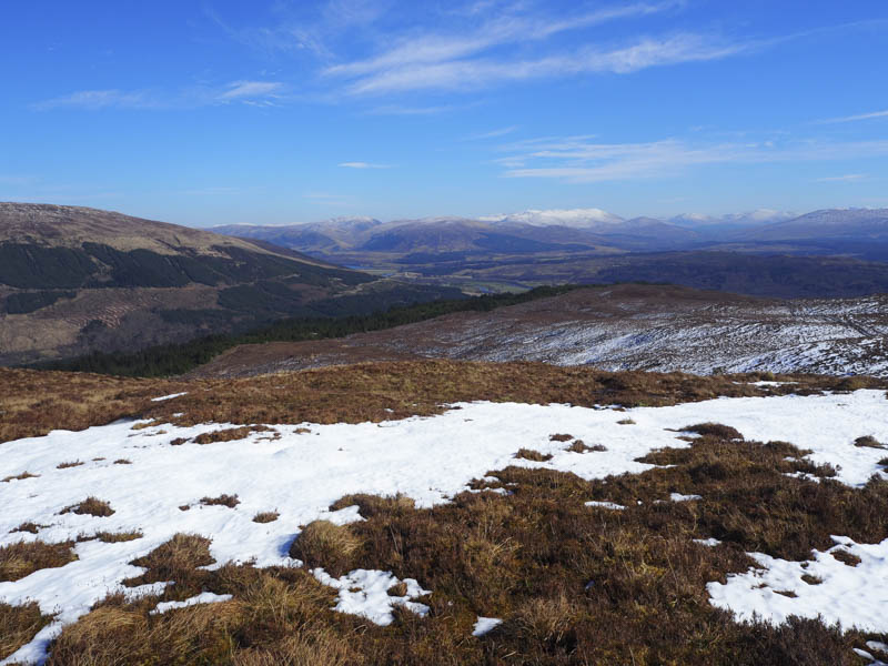
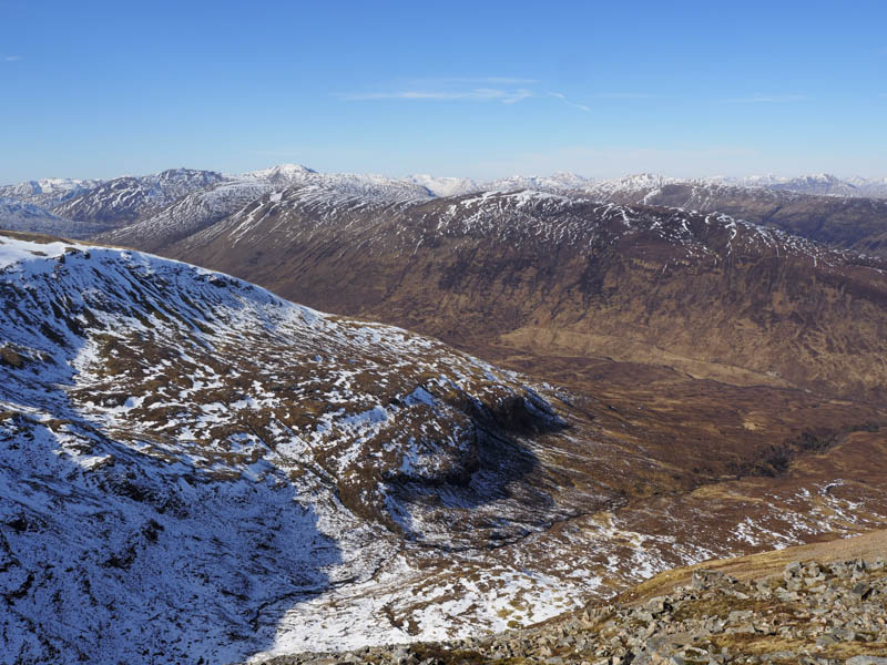
Afterwards we headed along the East Ridge before descending into Coire an Lightuinn to join the quad vehicle trail just before the bridge over the Allt Coire an Lightuinn. Once over this bridge a wet and muddy path led into the forest then the path, the condition of which didn’t improve, wound its way through the trees to rejoin the forest track just east of the Allt Coire an Lightuinn. Here was the sign we had obviously missed. The track was then followed back to the start.
- Time taken – 6.5 hours.
- Distance – 14.5 kilometres.
- Height climbed – 710 metres.