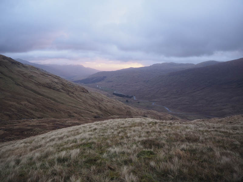
I left my home just after 3.30am and around 3 hours later arrived at the parking area in Glen Lochay, east of Kenknock Farm, reached from the A827 at Killin. At 6.45am I set off along the road towards the farm and was soon amongst some cattle which I didn’t initially see in the dark although they weren’t concerned by my presence or the light from the head torch.
At the crossroads junction just beyond the farm I turned right and headed up the zigzag private road leading to Pubil. After 1.5 kilometres I reached and walked along the estate track that headed south-west above Glen Lochay. There were several deer gates to pass through and puddles to avoid. Daylight gradually made an appearance and just before 8am I was able to switch off the head torch. By this time I was approaching the Allt Badour.
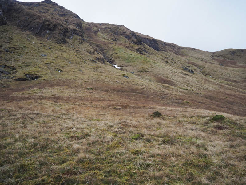
Cloud was covering the higher tops and it was rather dull as I continued to the Allt Batavaim and immediately after crossing it left the track to ascend Sron nan Eun. The underfoot conditions were a bit rough with holes dug for trees that had been planted. I located and for a short time used a wet vehicle track then higher up a deer fence was crossed to gain Sron nan Eun’s north-west ridge.
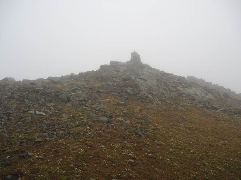
It was cold and rather windy here and I was soon amongst the low cloud as I ascended Creag Mhor’s south-east ridge. It was quite blustery on the approach to and at the cairn marking the summit of this Munro so I didn’t linger and descended west then north-west, avoiding the crags, before dropping north-east to the col with Stob an Fhir-Bhogha and out of the cloud.
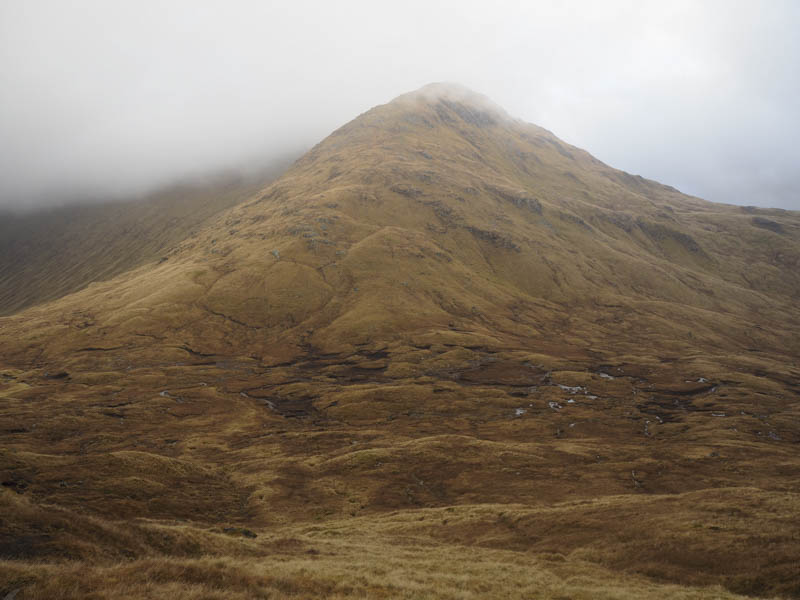
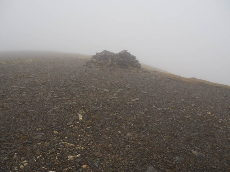
From this col it was a fairly steep climb of the deleted Munro Top, Stob an Fhir-Bhogha, to re-enter the low cloud. It was then along a walker’s path, where it was breezy and cold, to reach the summit of the Munro, Beinn Heasgarnich.
To get out of the wind I descended east into Coire Ban Mor although I had intended returning along the ridge and descending to the Allt Badour via the 909 Top.
This descent involved avoiding several rocky outcrops to reach the Allt Tarsuinn and clear the cloud base. A few alterations to the route were required as the stream ran through some gullies. Lower down I left this stream and made a more direct route to the highpoint on the Kenknock to Pubil Road although I did have to back track a couple of times due to more rocky outcrops. On reaching the road I followed it back to the start arriving there just before dark.
- Time taken – 9 hours.
- Distance – 24.5 kilometres.
- Height climbed – 1445 metres.