I had one categorised hill located between Glens Lee and Clova in Angus unclimbed so opted to ascend it from the north combining it with Cairn Lick which I had climbed back in 2005.
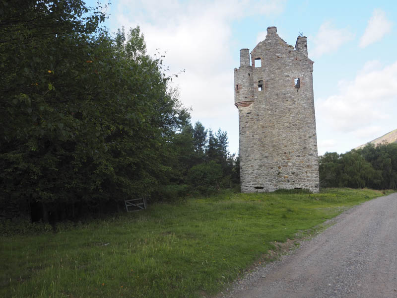
I set off from the free car park at the head of Glen Esk, reached from the B966 Fettercairn to Edzell Road, and walked west passed the track leading to Glen Mark and to the end of the public road. This tarred road was replaced by a vehicle track which ran passed the ruins of Invermark Castle and to the old church and graveyard at the east end of Loch Lee.
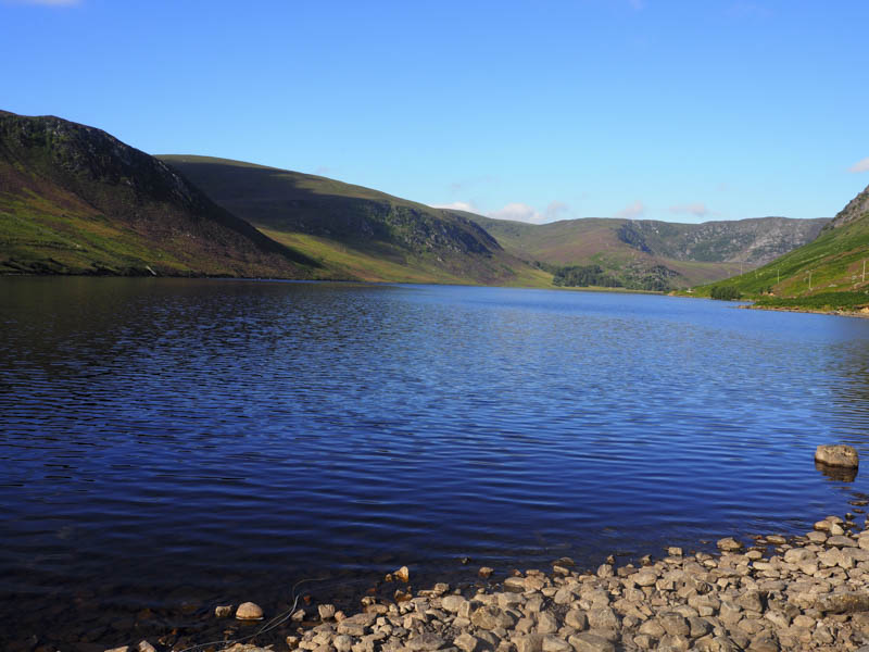
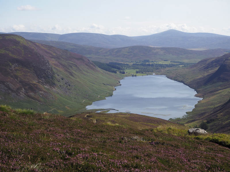
The vehicle track then continued east along the north shore of the loch, with some slight undulations, for just under two kilometres.
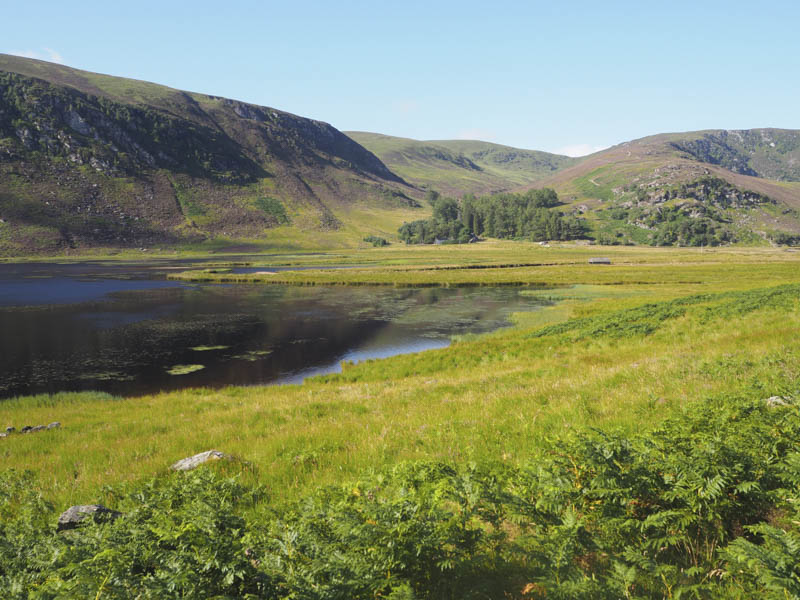
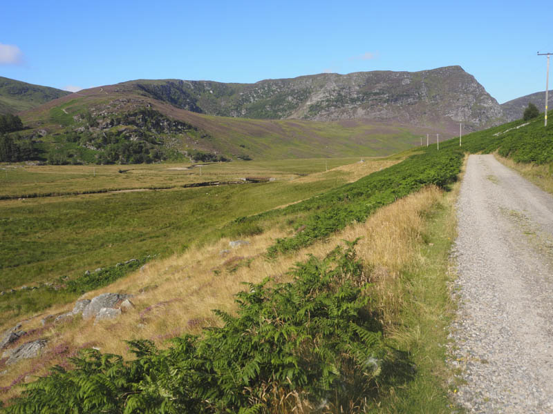
Immediately before the building at Glenlee I left this track and walked south on a vehicle track towards the property at Inchgrundle, first crossing the bridge over the Water of Lee. This track passed to the west of Inchgrundle and to a junction of tracks where I went right to cross the Burn of Inchgrundle via a wobbly wooden footbridge. It wasn’t essential to use this bridge as the water level was fairly low. The other track led to Glen Clova via the Right of Way.
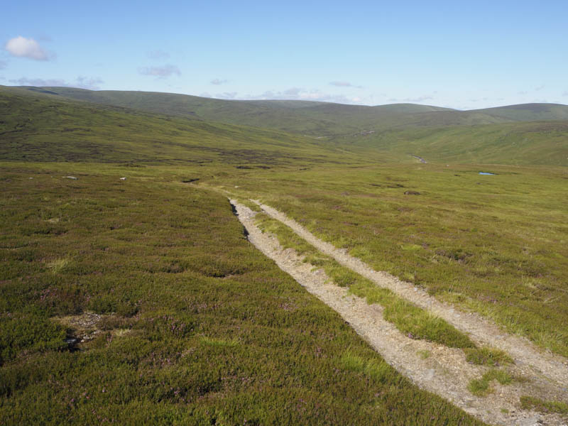
A rough estate track zigzagged through the pine trees where it was cooler being sheltered from the early morning sun. Beyond these mature trees the track ran along the edge of a deer fence enclosing a new mixed woodland. Here I was overtaken by three guys on two quad vehicles but I never spotted them again.
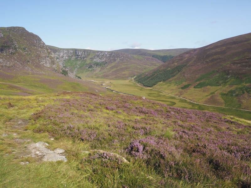
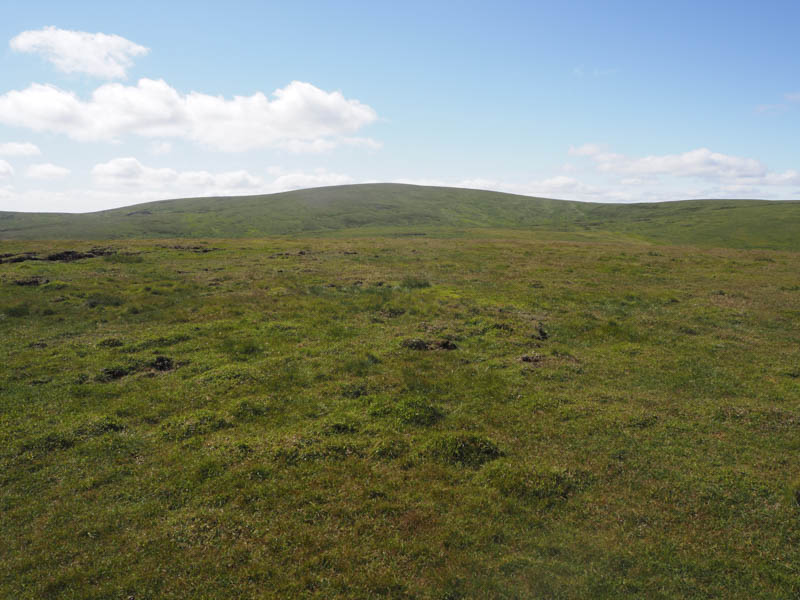
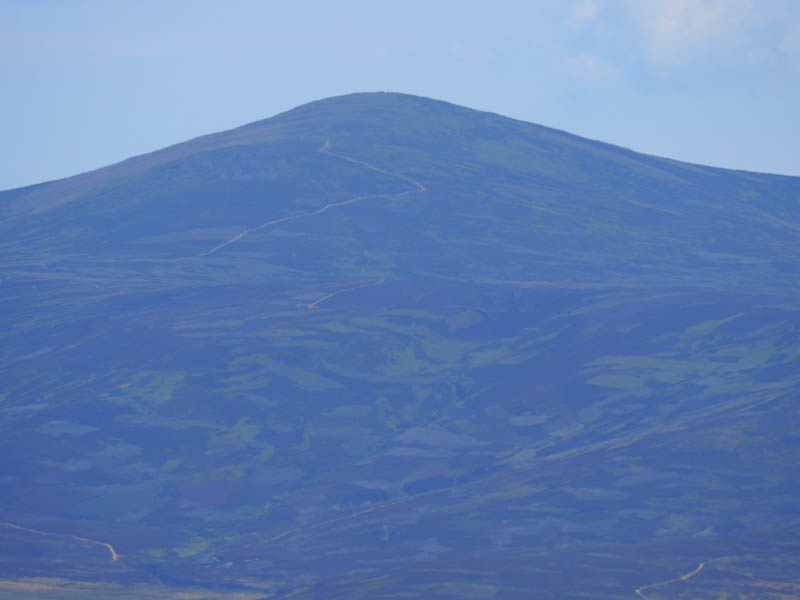
At times the track was fairly steep as it wound its way up the Shank of Inchgrundle and onto Cairn Lick. Here I visited a few points, including an outcrop and cairn, to ensure I had been on the highest point of this Graham Top.
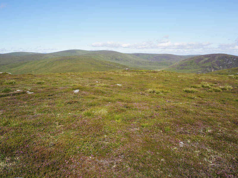
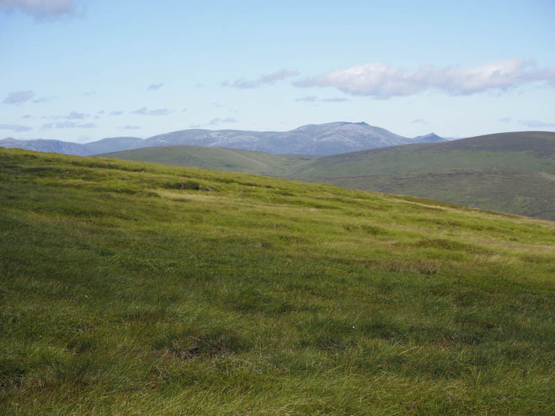
After a break here sitting in the sun but with a cool breeze I descended south-west through heather, initially short cropped, then some old peat hags where the vegetation had re-established. The underfoot conditions were easier than expected.
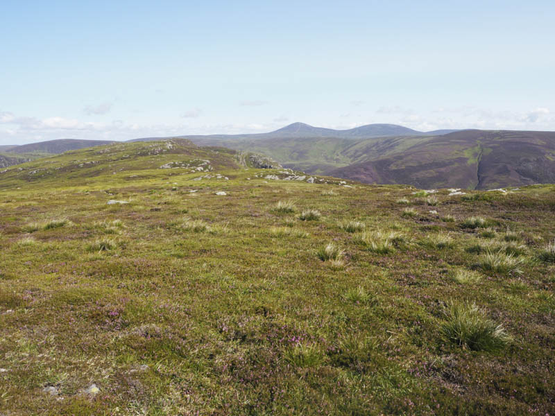
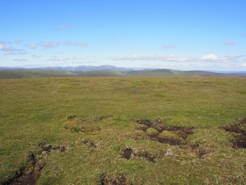
On crossing a boggy area I commenced the ascent of Muckle Cairn through numerous peat hags. However the majority were dry so it made for easy progress. The gradient later increased and here there was more in the way of vegetation. A double fence was reached, one carrying two electric wires while the other, a stock fence, was topped by a single electric wire. At a push I thought I would be able to go under one and over the other.
Anyway I followed the fence line west on a gentle incline to the summit of Muckle Cairn where there was a stile across the fences. However there was no need to cross them as the highest point of this Sub Simm was to the north, a clump of grass and moss surrounded by some peat, around 90 metres beyond the cairn.
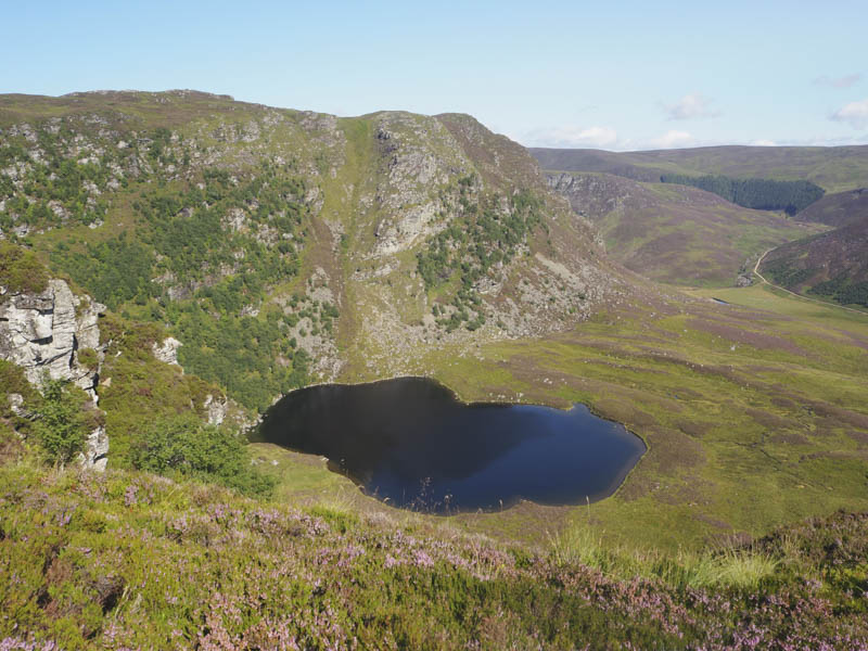
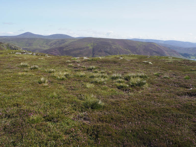
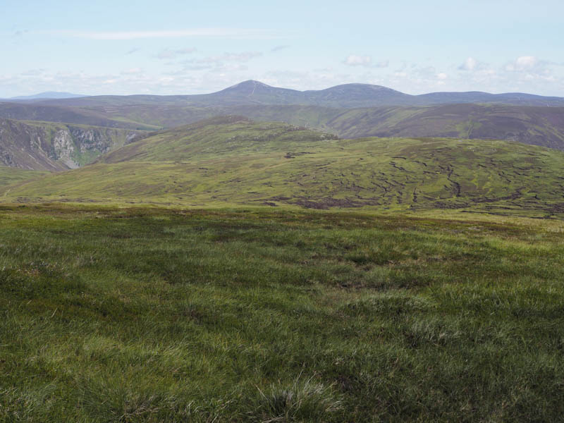
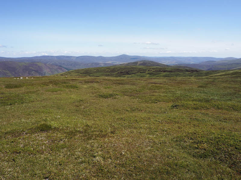
I returned along the side of the fences to East Cairn where I left the fence lines and continued to the peaty col with Wester Skuiley which I ascended.
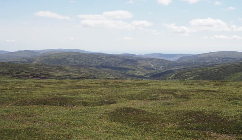
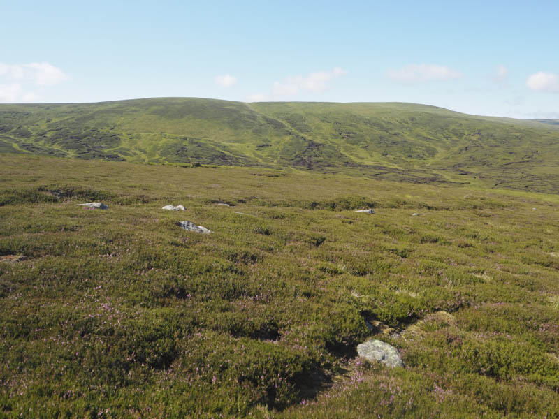
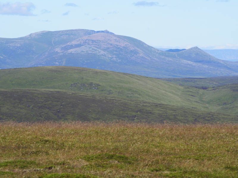
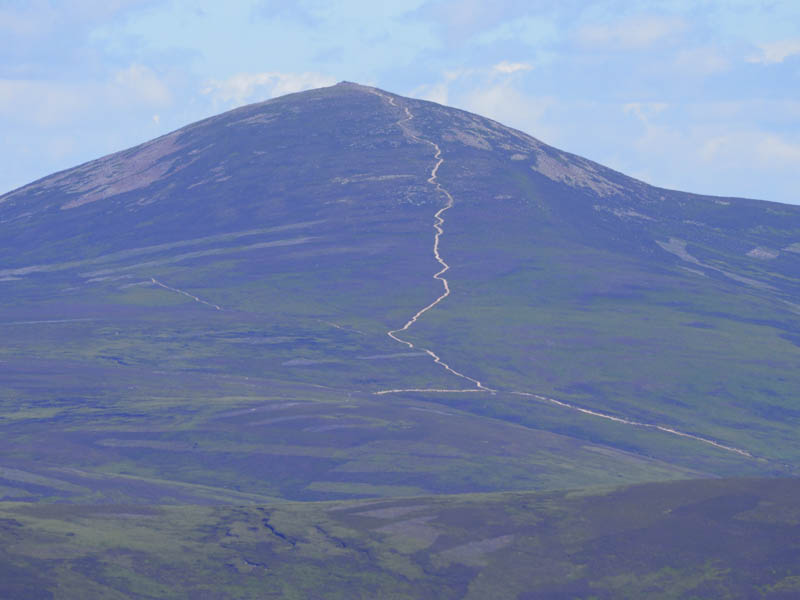
The highest point of this uncategorised hill was probably some moss or heather. To the north and lower down I could see what appeared to be the Right of Way between Glen Lee and Glen Clova.
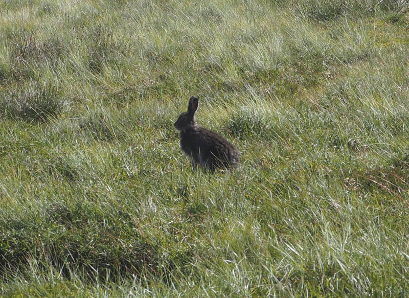
I then descended north-east, over the wee bump Skuiley, and towards the Burn of Tarsen
. The vegetation became longer here but there was no sign of the Right of Way which was probably concealed by the long vegetation, although I could see the path heading onto Burnt Hill. Just before crossing the Burn of Tarsen I came across a rough path which was followed to the junction of tracks south of Inchgrundle then retraced my route back to the car park.
- Time taken – 6 hours.
- Distance – 19 kilometres.
- Height climbed – 755 metres.