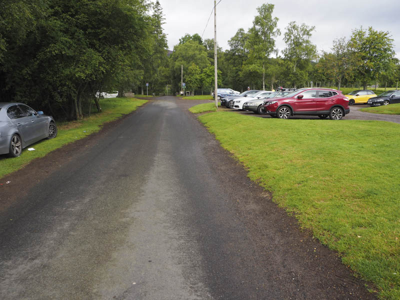
It wasn’t quite 8.30am when I arrived at the head of Glen Esk in Angus to find the area was already fairly busy with vehicles, some belonged to folks preparing to set off, but others to campers at the riverside and elsewhere. However I did manage to find a space within the car park.
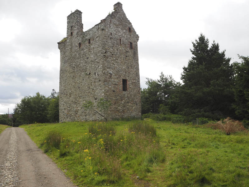
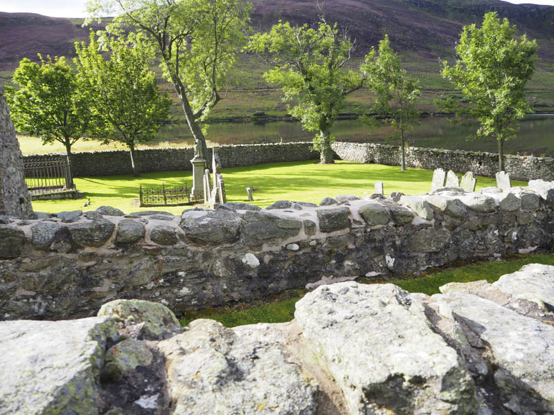
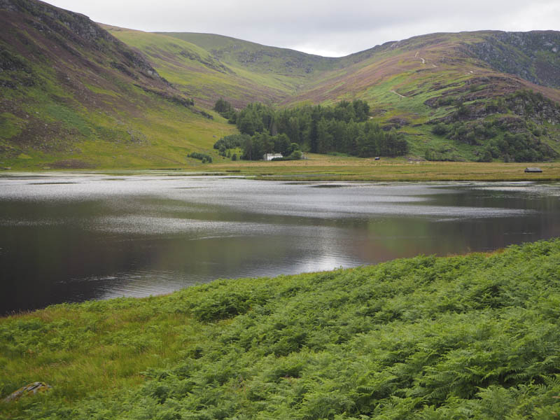
I set off passed the trade route for the Munro, Mount Keen, crossed the bridge over the Water of Mark and walked along the vehicle track beside the ruin of Invermark Castle and to the east end of Loch Lee. Here there was a well kept graveyard and walls of an old church.
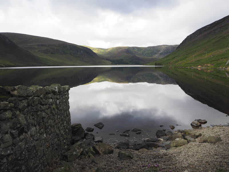
The vehicle track continued along the north shore of the Loch, passed the track leading to the Shank of Inchgrundle, the secure building a Glenlee and the track to Falls of Unich, which was my return route.
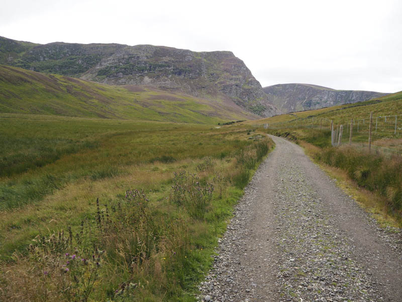
The estate track up Glen Lee then climbed north before swinging back west passing the bothy where a couple were camping.
The track continued in a westerly direction passing the Stables of Lee, where one end of the building was open and could be used in an emergency, and then climbed steadily to the north of Drumhilt with a short steep section.

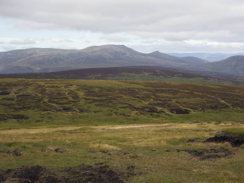
The track here had been upgraded and was in good condition. On nearing the summit of Easter Balloch I met a couple of chaps on their descent. They had missed the turning for Mount Keen and had decided to just keep walking although they were now a long way from this Munro. I left the estate track and walked the short distance along ATV tracks to the summit of this Corbett Top and Hump. It had taken me three and a half hours from the car park so probably one of the remoter hills in Angus.
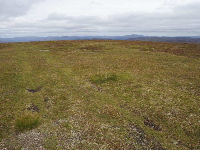
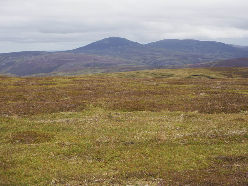
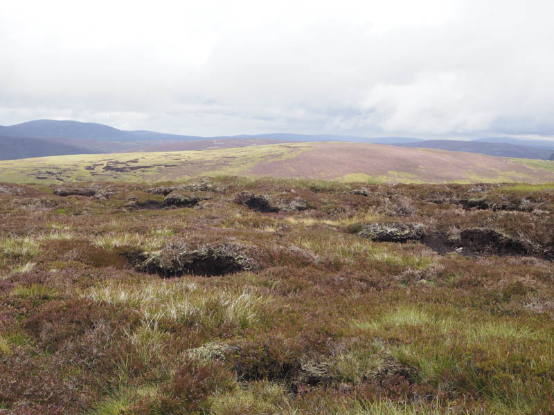
From here I descended south-west through rough vegetation then peat hags, a bit different from earlier in the day and in fact these underfoot conditions were prevalent on the rest of the hills on the route walked. On reaching the col with Wester Balloch I ascended this Corbett Top.
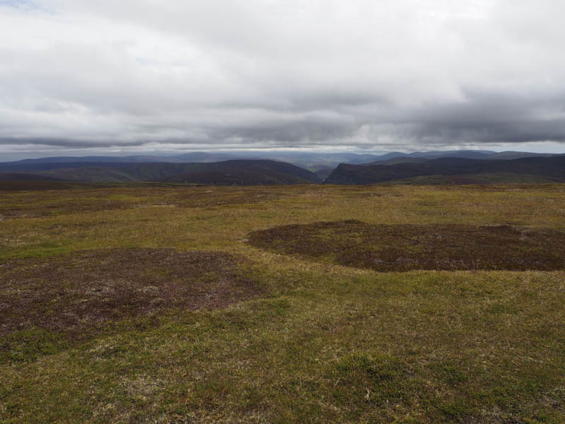
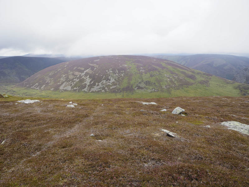
Thereafter I headed south then south-east to a junction of streams where I crossed the Water of Unich. I then ascend the Graham Top, Wester Watery Knowe, before continuing north-east to Easter Watery Knowe, a Sub Simm, as the cloud lowered onto the higher tops.
After a break here I descended north to re-cross the Water of Unich, which was wider than the map indicated and would be quite tricky in spate. Dry shod I ascended the Graham Top, Craig Damff, then descended south-east then east encountering some rain which didn’t last long.
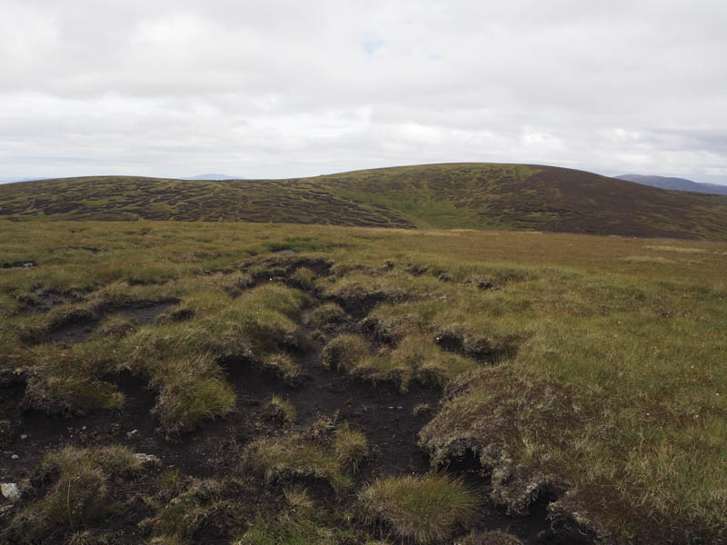
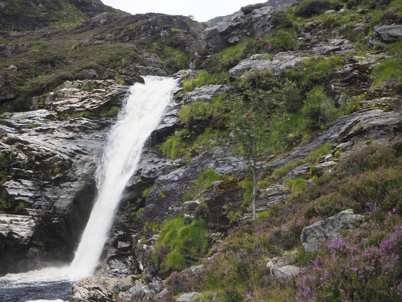
The peaty path above the Water of Unich was reached and followed north later becoming rocky and fairly steep as it descended to the Falls of Unich. A young boy was paddling in the pool below the waterfall.
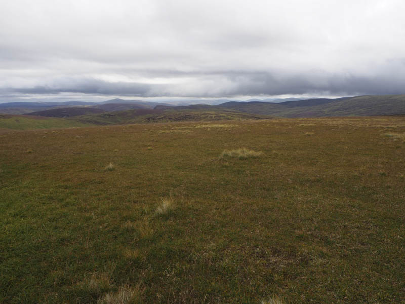
I crossed the grassy meadow then rejoined and followed the vehicle track back to the car park passing several folks who asked me how far it was to the Falls, and others who were off camping or possibly to the bohty.
- Time taken – 8.5 hours.
- Distance – 27.75 kilometres.
- Height climbed – 1040 metres.