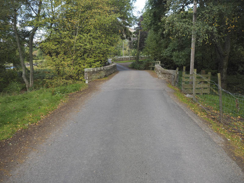
Burnt Hill and Cairn Caidloch: With a reasonable weather forecast I headed for Glen Lee in Angus to climb these Graham Tops. I left my vehicle in the car park near the end of the public road in Glen Esk and walked west to the bridge over the Water of Mark.
Here the glen split, north-west up Glen Mark and west for Glen Lee and the Right of Way to Glen Clova.
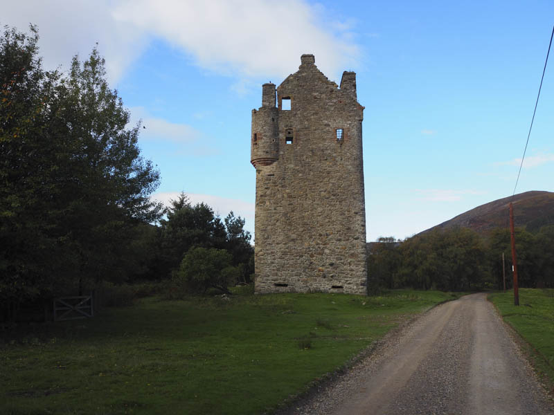
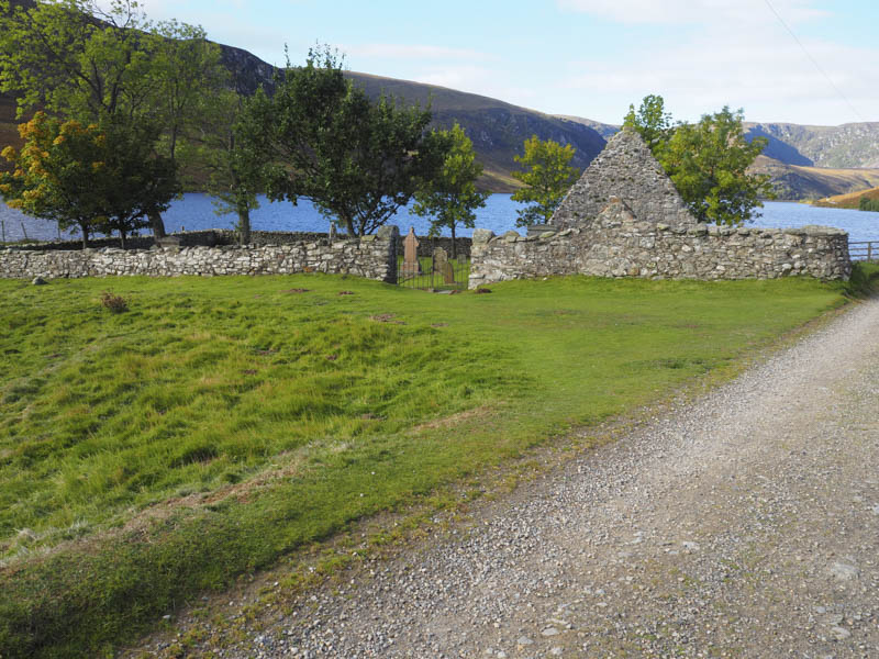
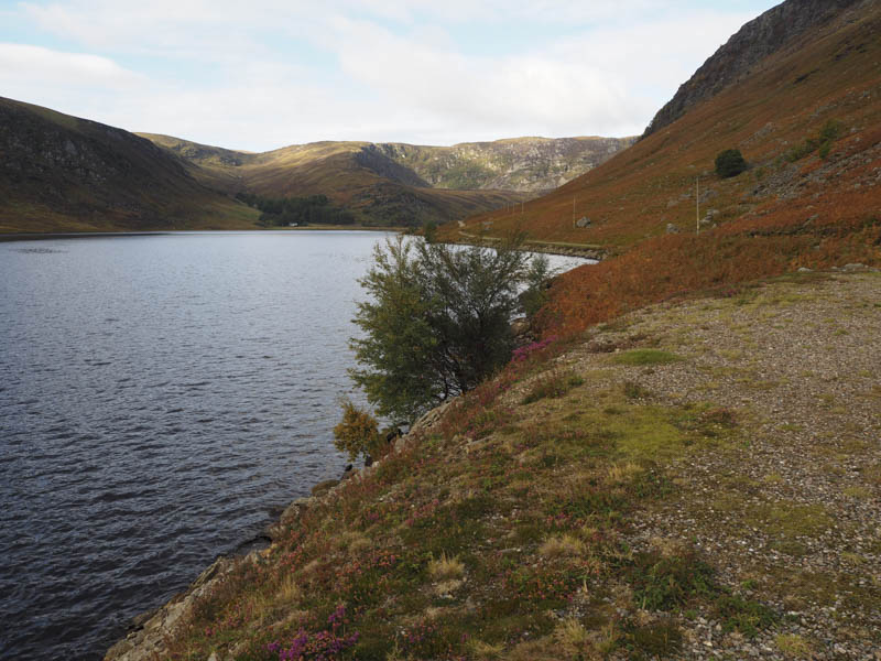
My route west went passed the remnants of Invermark Castle and to the east end of Loch Lee with the remains of an old church and small graveyard. A nice location to lie!
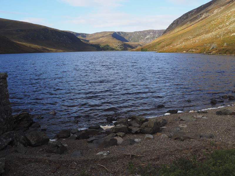
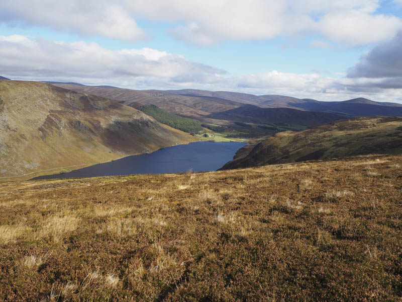
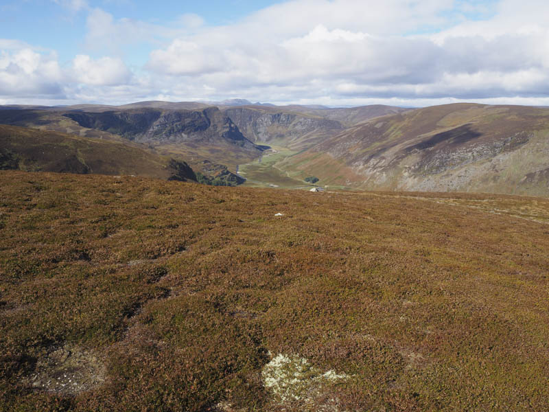
It was then a pleasant walk along the north shore of Loch Lee with the Graham Tops located on the opposite side and views ahead of Craig Maskeldie.
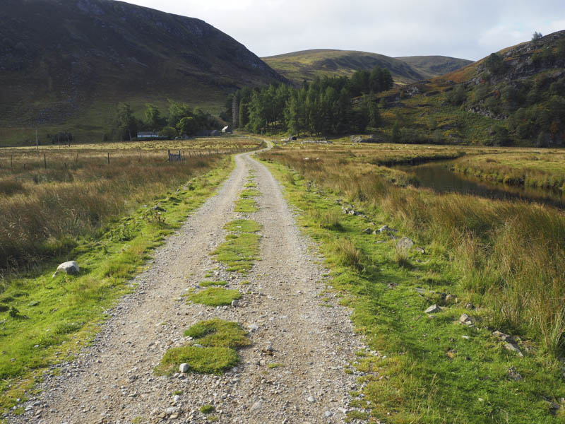
On reaching the west end of the loch a vehicle track crossed the Water of Lee and headed to the property at Inchgrundle and a small wooded area.
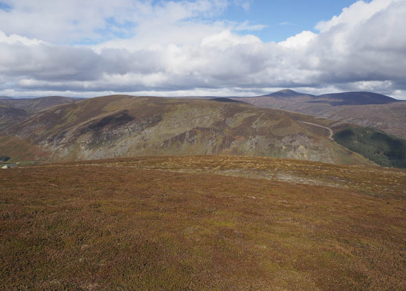
Here for estate staff only a wooden footbridge crossed the Burn of Inchgrundle and the rest of us at our own risk! This route gave access to the Shank of Inchgrundle and Craig Maskeldie.
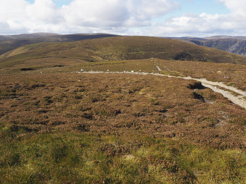
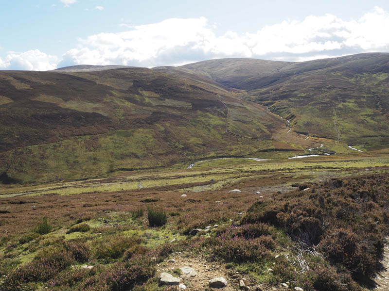
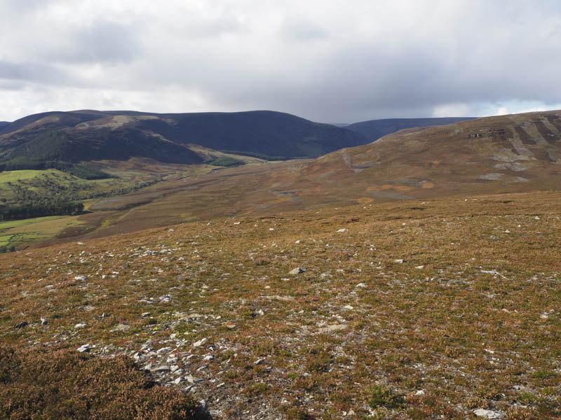
Here a signpost indicated the Right of Way to Glen Clova which was up the south-east side of the stream on a rough vehicle track which later improved in the vicinity of a small hydro dam. It later reverted to a grassy track before coming to an end to be replaced by a path.
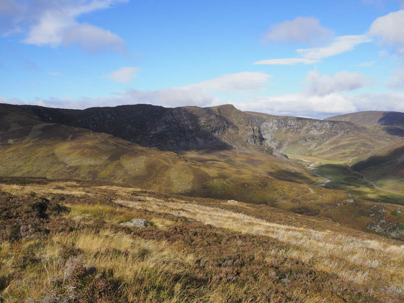
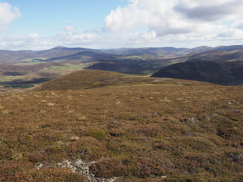
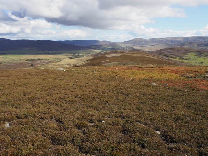
Once over the Burn of Tarsen the path became difficult to follow through long vegetation and bog so I re-crossed the Burn of Tarsen and climbed to the vehicle track for Burnt Hill. This track was initially wet and marshy before improving then it was an easy walk to the summit of the Graham Top, although the highest point wasn’t obvious.
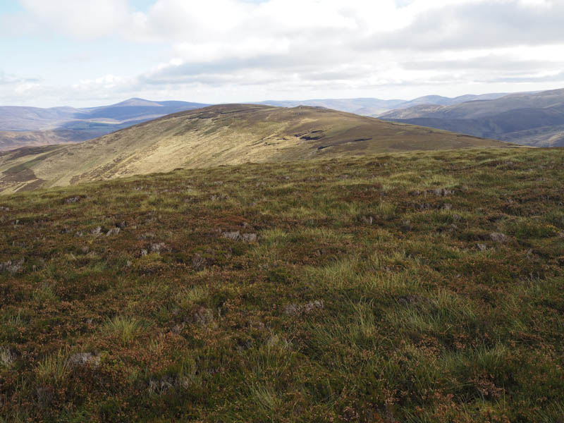
After a break at the summit I descended east on a vehicle track then climbed north-east to the summit of Cairn Caidloch. The trig point located on the north side of the track wasn’t the highest point, apparently it was located on the other side of the track and was unmarked.
I continued along the vehicle track as it descended east to Glen Effock then along the north-east side of the Water of Effock to Gleneffock Farm and to the public road in Glen Esk.
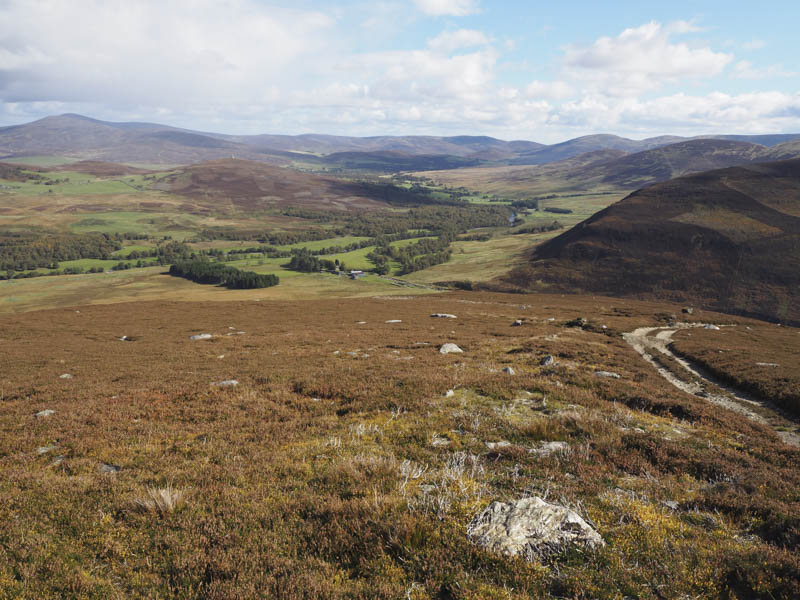
This road was then followed for around two kilometres back to the car park.
Auchronie Hill: After a break here I briefly walked east along the tarred road to the access road leading to Auchronie Farm. I then headed along this farm track, passed through the farm buildings, and along the vehicle track on the west side of Auchronie Hill. An ATV track later headed up through the heather to the col north of Auchronie Hill and to the summit of this Tump.

The return was by the ascent route.
- Total time – 5.5 hours.
- Total distance – 18.25 kilometres.
- Total height climbed – 800 metres.