Finalty Hill – Around 8am I was parked up between the end of the public road at Auchavan and the estate bridge over the River Isla, accessed northwards from Brewlands Bridge on the B951 Glen Shee to Kirriemuir Road along a single track road.
I walked north along the vehicle track on the west side of the River Isla.
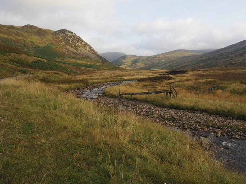
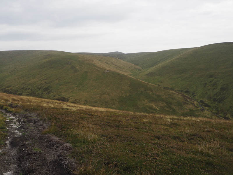
After over two kilometres, and on approaching Tulchan Lodge, I crossed the bridges over the Glenbrighty Burn then the River Isla. From there a vehicle track headed east. However I soon left it and climbed steadily north on a vehicle track that ran along the edge of a deer fence enclosing some trees and onto Spying Hillock.
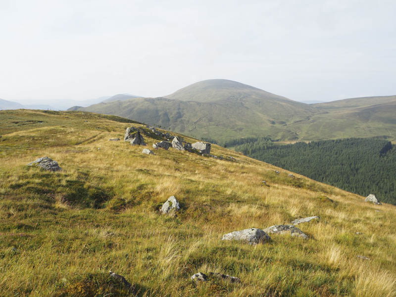
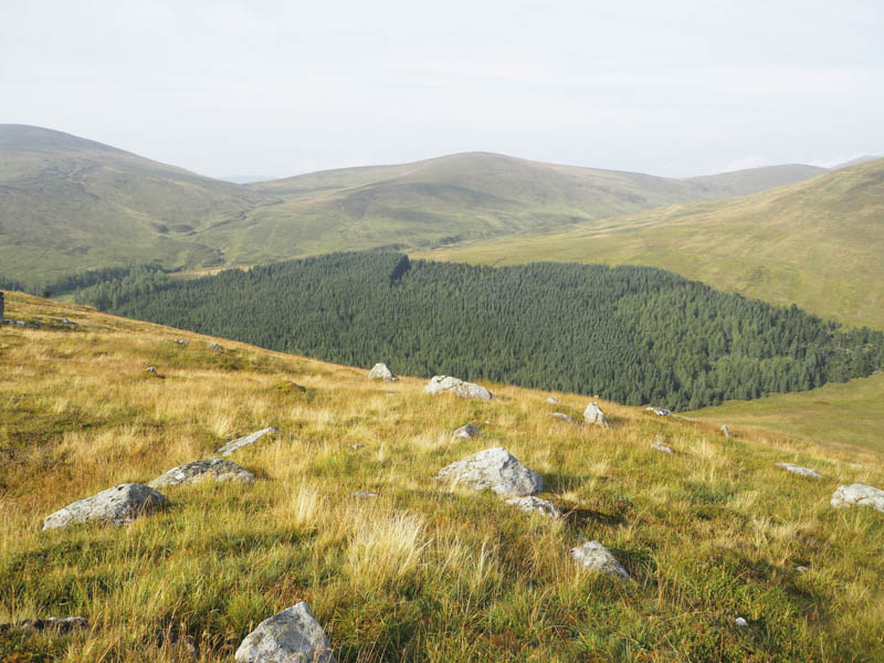
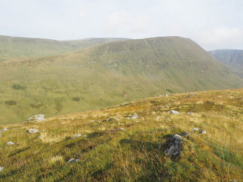
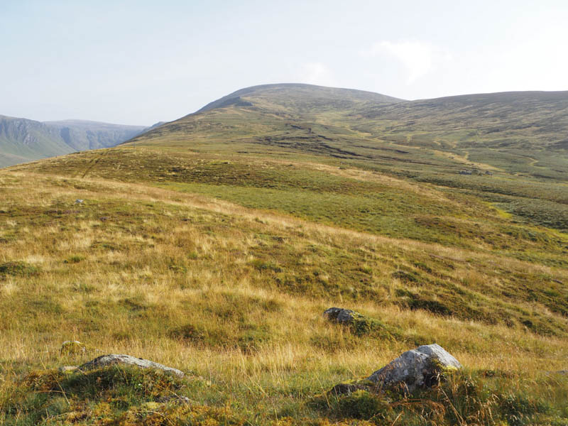
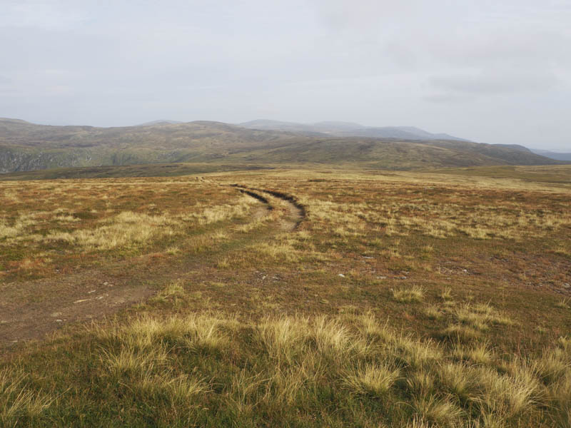
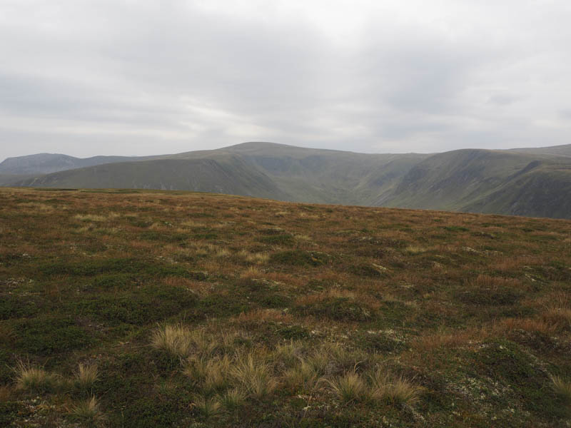
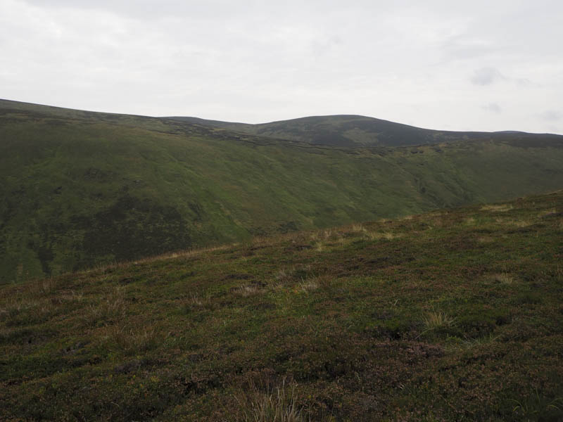
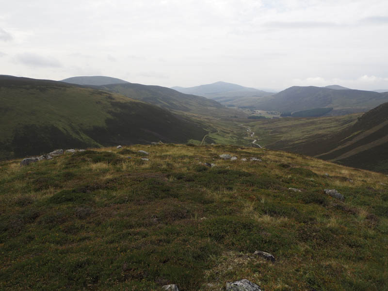
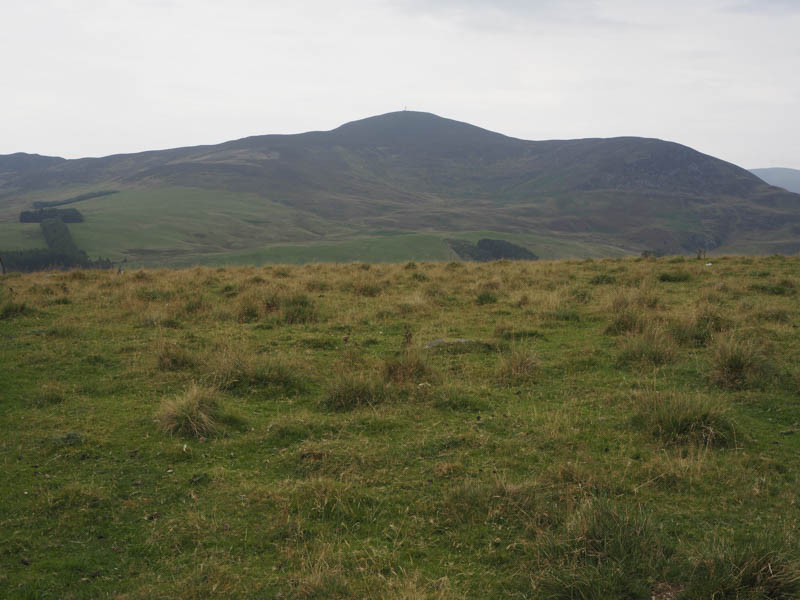
From this knoll there was a slight loss of height then a path ran through vegetation and some damp ground later re-joining the vehicle track which avoided this area by-passing it to the west. I followed the track up Finalty Hill’s South-West Ridge merging with a more obvious track coming in from the south. Beyond, the gradient eased as the flat summit area was reached and I passed another vehicle track to the south. The highest point of Finalty Hill, a Corbett Top, was apparently at the side of the track.
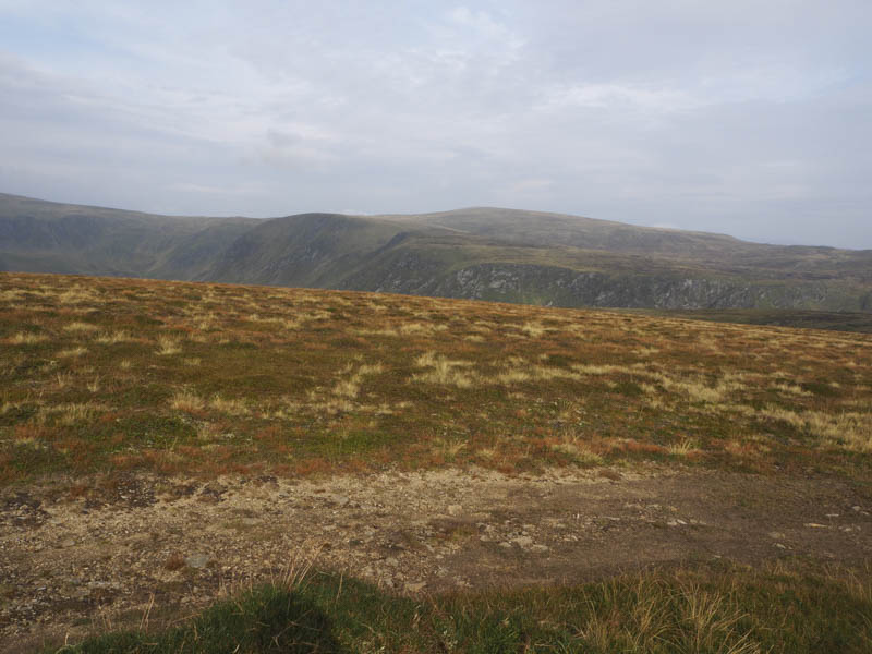
It was relatively calm lower down but at the summit there was a cool breeze but it kept the midges at bay. I took a coffee break at a grassy area where sections of old metal fencing were visible. Apparently this was the location of a hut long demolished.
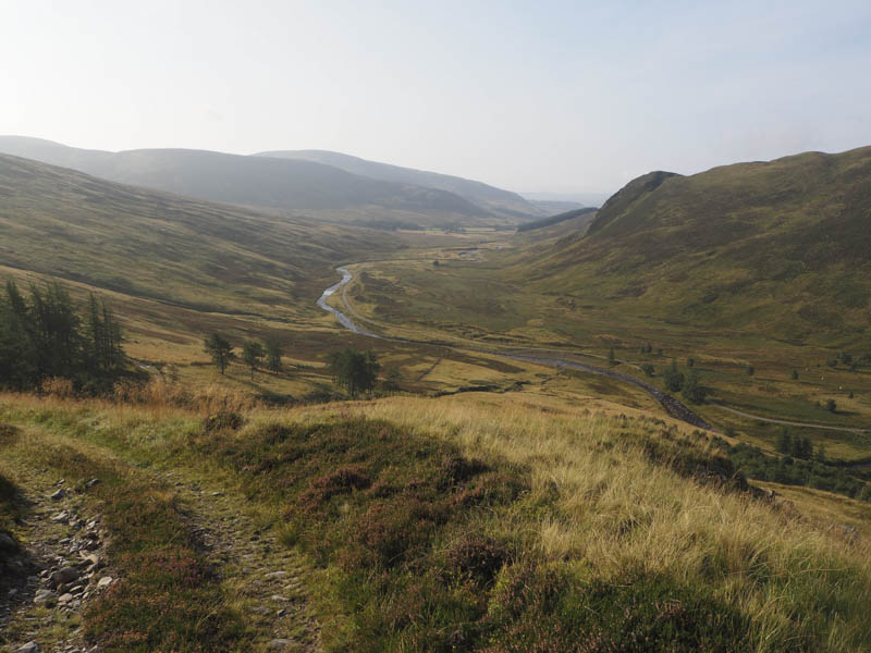
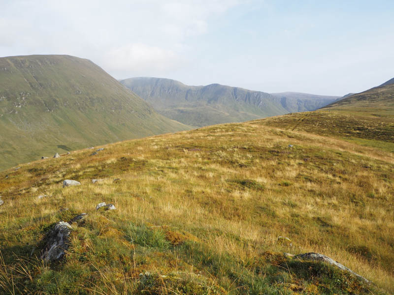
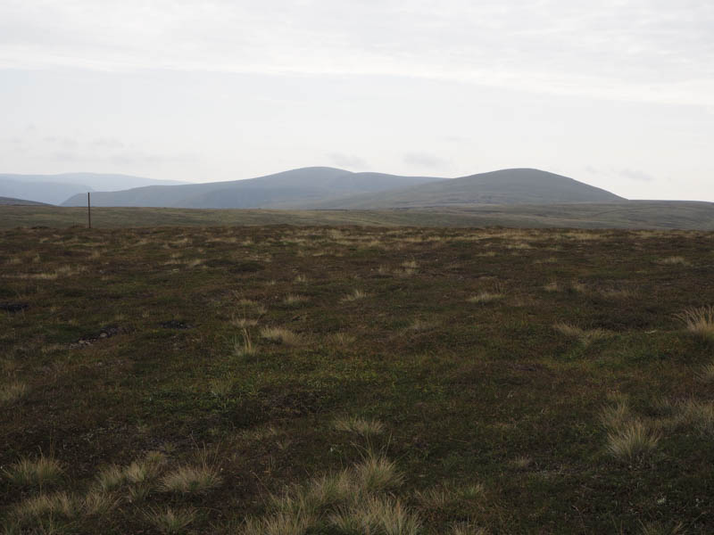
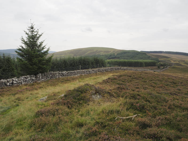
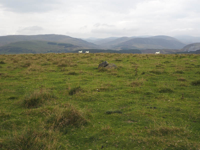
Thereafter I returned to the first track coming in from the south and used it to make a circular walk. The condition of this track varied from being stony, eroded, or to sections of grass and peat but it made for a pleasant enough route down Tom Dubh na Cabair and Sron Meadhonach to Glen Cally.
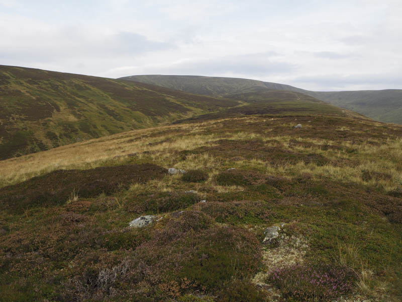
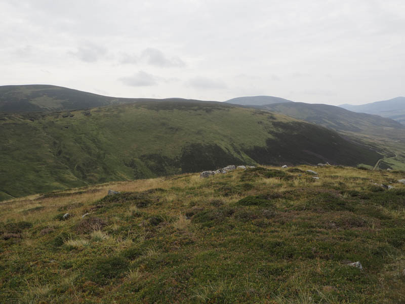
On reaching the Glencally Burn work was in progress to replace a bridge over this stream but fortunately the water level was fairly low so there was no problem with its crossing. There was then a slight height gain before the track descended to the property at Dalhally merging with a vehicle track coming in from Mid Hill to the east.
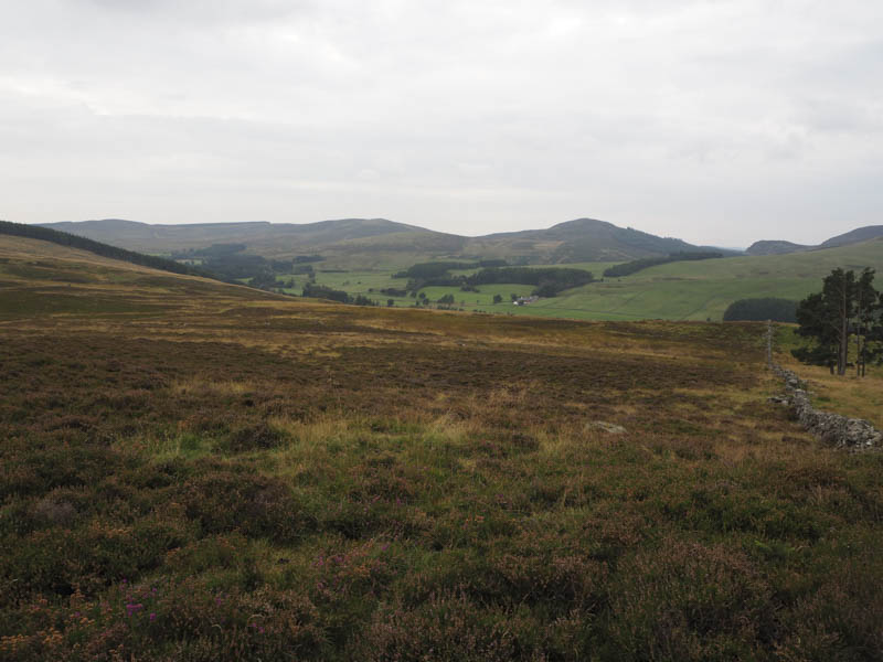
At Dalhally signage for walkers indicated the route round the perimeter of this property but the ground was a quagmire in places and unacceptable as a by-pass route. On rejoining the vehicle track it was then a short walk back to my car.
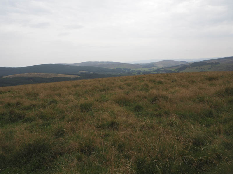
Lindalla North-West Top and Lindalla – After Finalty Hill I drove south down Glen Isla and parked on the east verge south-east of The Mill, then walked north along the vehicle track leading to Auchintaple Loch. I soon left this track and followed animal trails east up the edge of the trees, through vegetation and tree stumps. Beyond the wood I headed up the side of a dyke to the summit of Lindalla North-West Top, the highest point of this Tump being 15 metres north-west of a fence.
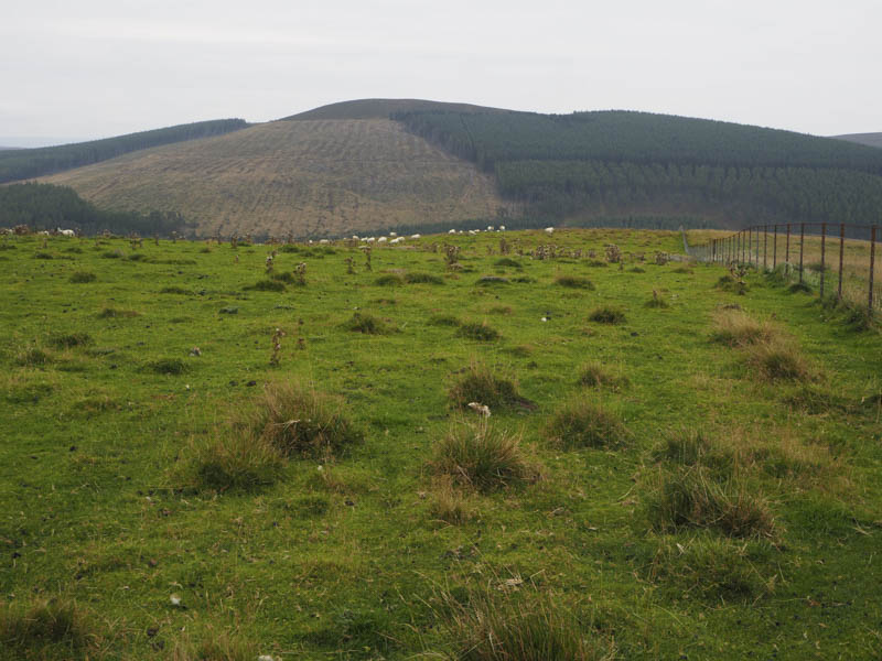
After lunch here I descended south keeping to the west of a deer fence and stone dyke topped by fence wire. Initially the route was on an ATV track then it was through heather to reach a boggy col. From there I commenced the ascent of Lindalla with more heather and bog. Beyond the trees protected by the deer fence, I crossed the dyke topped with fence wire and ascended through a field of sheep to reach the boulder marking the summit of this Tump.
Thereafter I headed back to and crossed the wall then used traces of an ATV track and animal trails to return to the start.
- Total time taken – 6hours.
- Total distance – 17.25 kilometres.
- Total height climbed – 780 metres.