It was back to Glen Isla in Angus this time to climb a few hills on the east side of the glen. I left my car on the verge of the minor road north of the vehicle track leading to Fergus, accessed from the B951 at Brewlands Bridge. I then walked east to cross a bridge over the River Isla and headed for the property at Fergus where on the approach there were various signs indicating the route for walkers and to keep out of the area surrounding the buildings there.
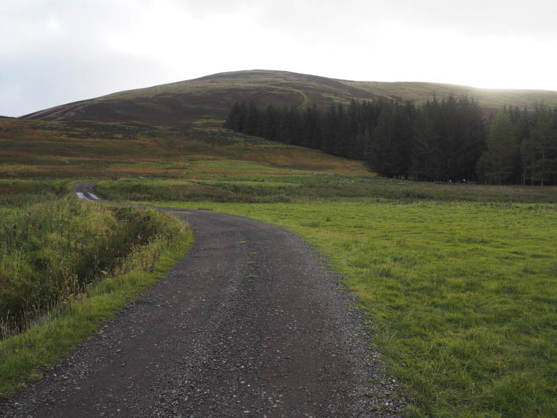
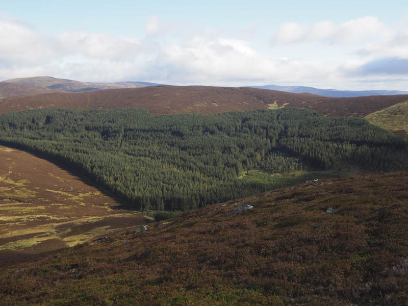
I followed a path through the vegetation and to the edge of the plantation where I joined the estate track that headed up the north side of the Fergus Burn towards Fergus Corrie.
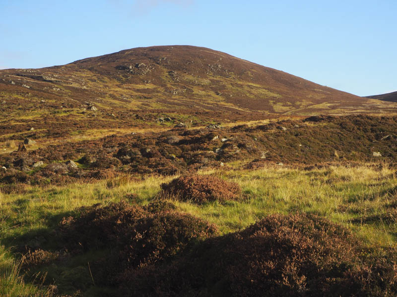
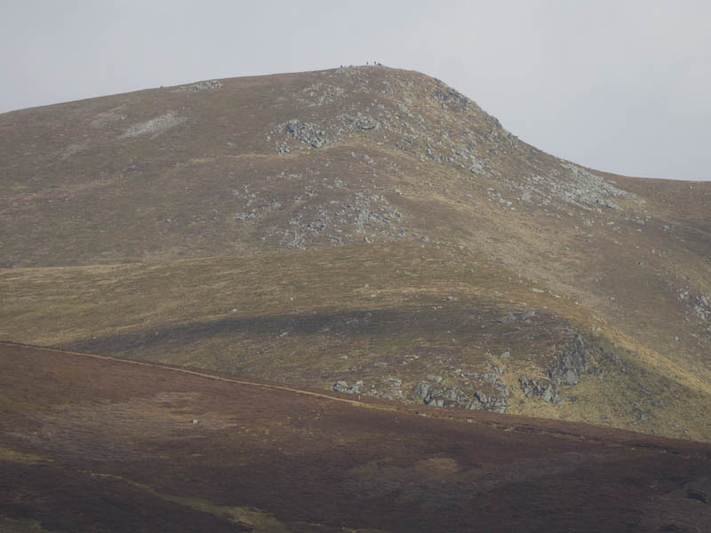
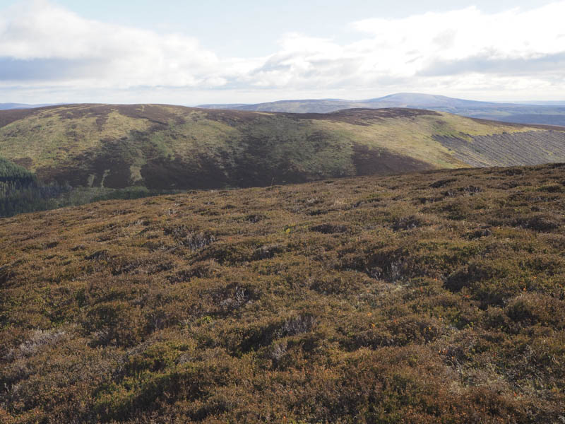
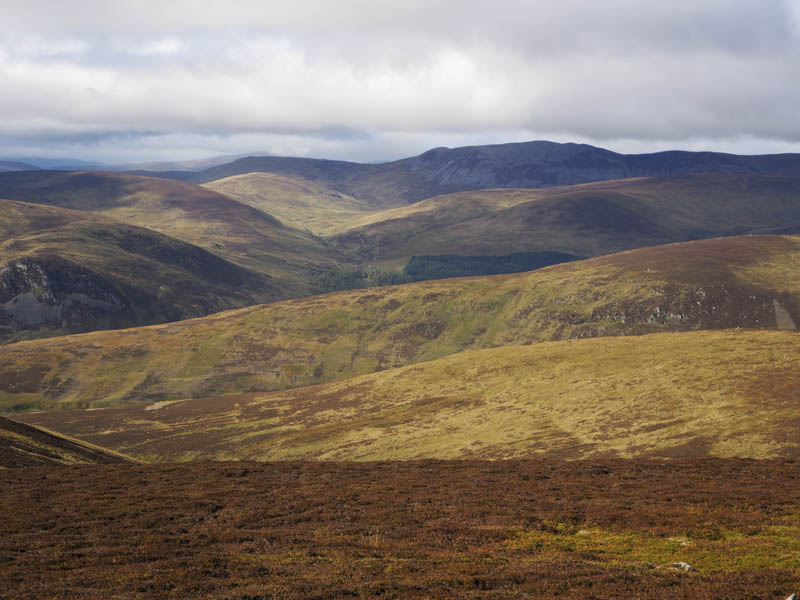
On reaching an old ATV track I used it until it disappeared amongst the vegetation as I headed onto the south-west ridge of Fore Brae. Sheep trails then led towards the summit of this Sub Simm where there was a cold wind blowing.
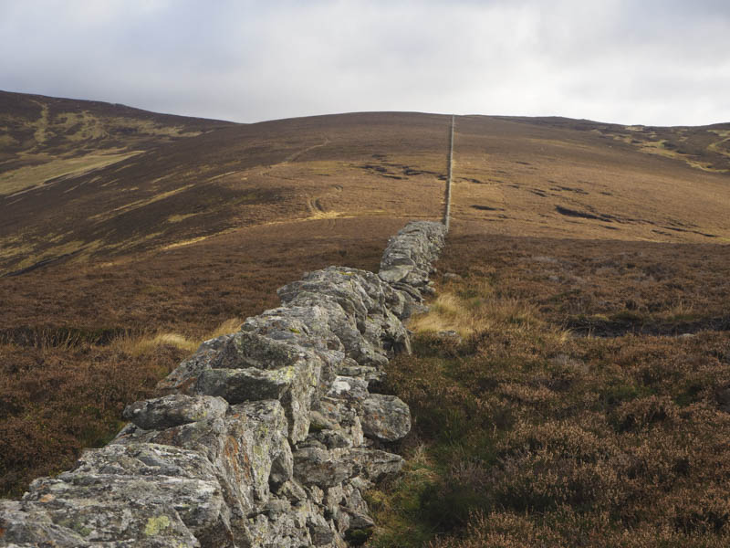
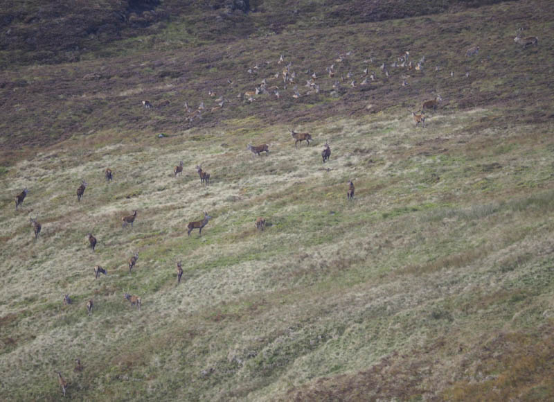
A stone dyke ran north-east with an ATV track on its north side which I used to reach the estate track to the north of Craig Lair stopping a couple of times to spot the roaring stags in the glen of the Altvraig Burn.
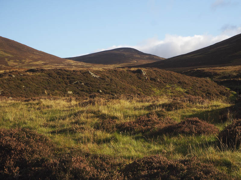
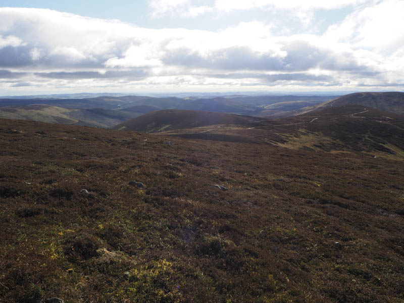
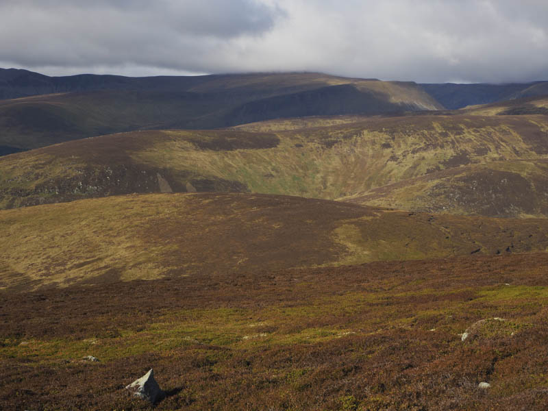
I crossed this track and descended south through rough ground to the col between Craig Lair and Bodnasparet climbing to the latter, a Graham Top, the highest point being ground 10 metres south of a pile of rocks.
I thereafter returned to the col and having spotted an ATV track slightly south of my descent route used it to regain the estate track north of Craig Lair.
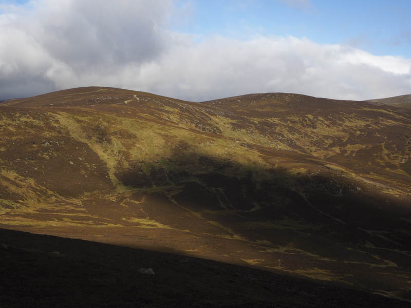
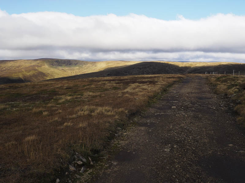
This track took me to the Calls of Finlet and onto Mid Hill crossing another estate track just before the summit of this Corbett Top, which was a small cairn on a rock 45 metres north-east of the larger cairn.
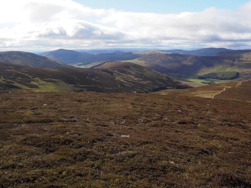
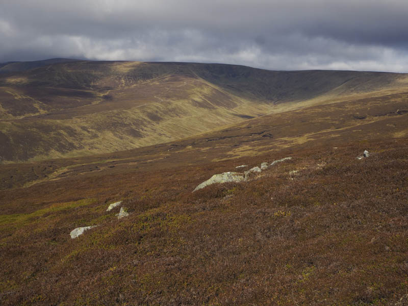
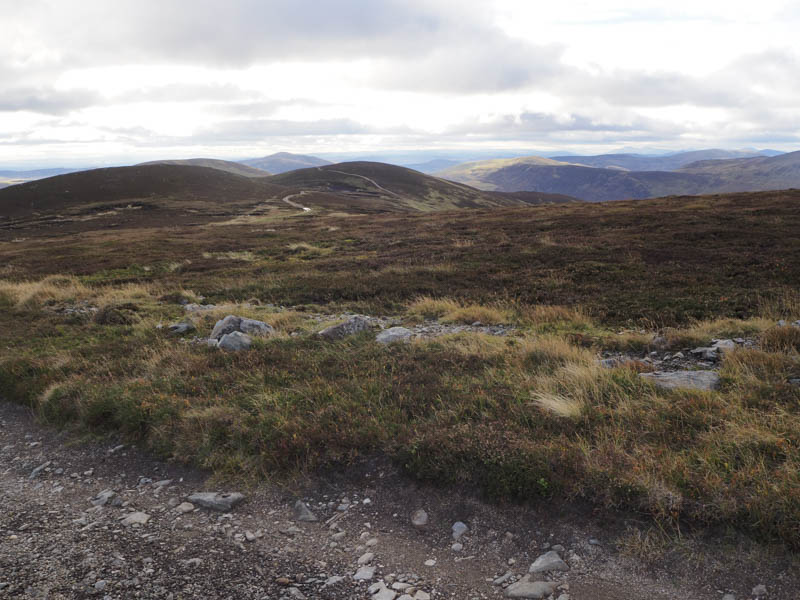
A track through the heather led onto the estate track that continued north. On its descent the crescendo from the roaring of the stags got my attention and I stopped to take some photos before continuing to the north of Tarmach Cairn.
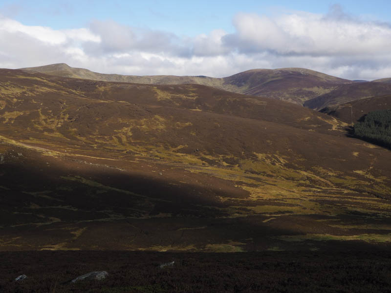
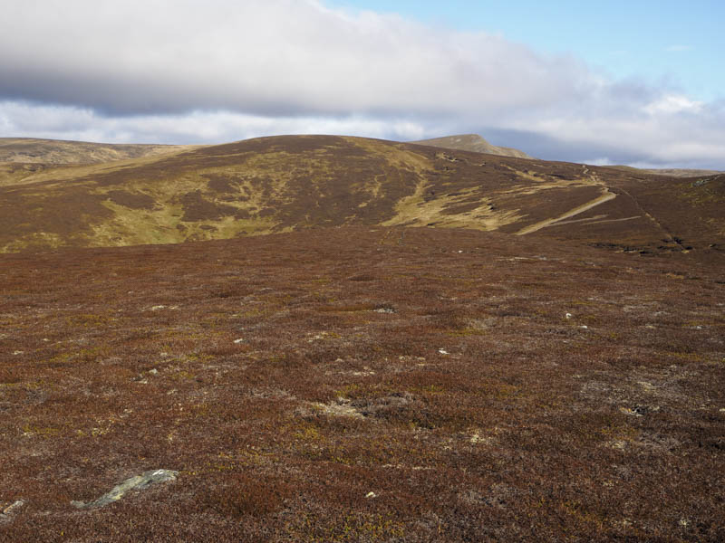
Beyond was a junction of tracks and I followed the one that took me onto Bawhelps where I located the cairn marking the summit of this Corbett Top.
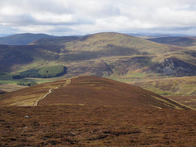
I returned to Mid Hill and descended its west ridge using the estate track leaving it on a couple of occasions to watch the deer in the glen to the north. This track led to the property at Dalhally where there was a rather wet and boggy by-pass route for walkers. I have no objection to walking round properties but with the path in such poor condition this estate obviously has no consideration for walkers.
On re-joining the track on the other side of the buildings at Dalhally I followed the track to the parking area beside the bridge over the River Isla and to Achavan then the tarred south for just over a kilometre to the point where I had left my car.
- Time taken – 6 hours.
- Distance – 16.5 kilometres.
- Height climbed – 720 metres.