While looking for hills to climb it was a requirement to find ones that didn’t need a stream crossing as the previous couple of days consisted of heavy rain and flooding.
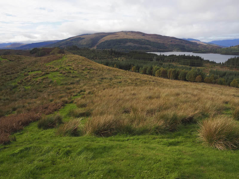
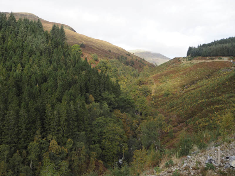
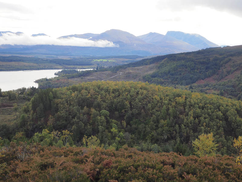
Torr a’ Challtuinn – The starting point for this walk was Glen Gloy, a glen I hadn’t visited before, which was accessed from the A82 north of Spean Bridge. I left my car in a wide passing place at NN229867, crossed the road onto an ATV track that was initially squelchy. It was then a fairly steep climb north on a grassy track to a deer fence, which had collapsed in places.
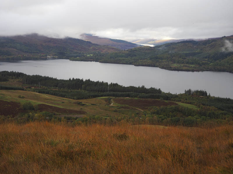
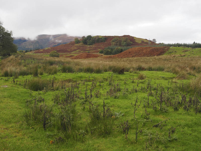
Here the track turned north-east passing through an open stock gate at NN231870 before continuing uphill then levelling out as it ran below Torr a’ Challtuinn’s south-west ridge. For around 500 metres the track was wet, muddy and boggy before I left it and climbed onto the summit of this Tump which was in cloud. It was difficult to tell where the highest point was but I thought it may have been a mossy clump of vegetation.
To avoid the bog and mud I descended the south-west ridge through some tussoky vegetation to later rejoin the ATV track which was followed back to the start.
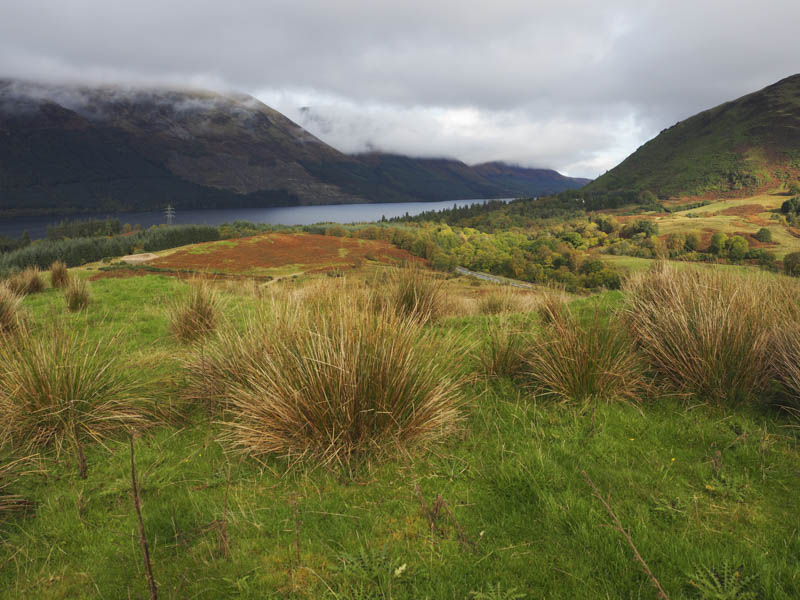
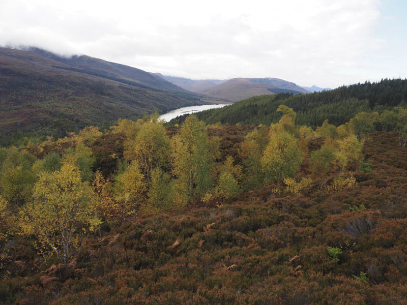
Druim Liath and Carn a’ Ghrianain – I parked on some waste ground at the entrance to Glen Gloy, accessed from the A82 north of Spean Bridge, and walked a few metres north on this main road then west along a vehicle track which soon became wet and muddy. Further on it was drier and consisted of grass.
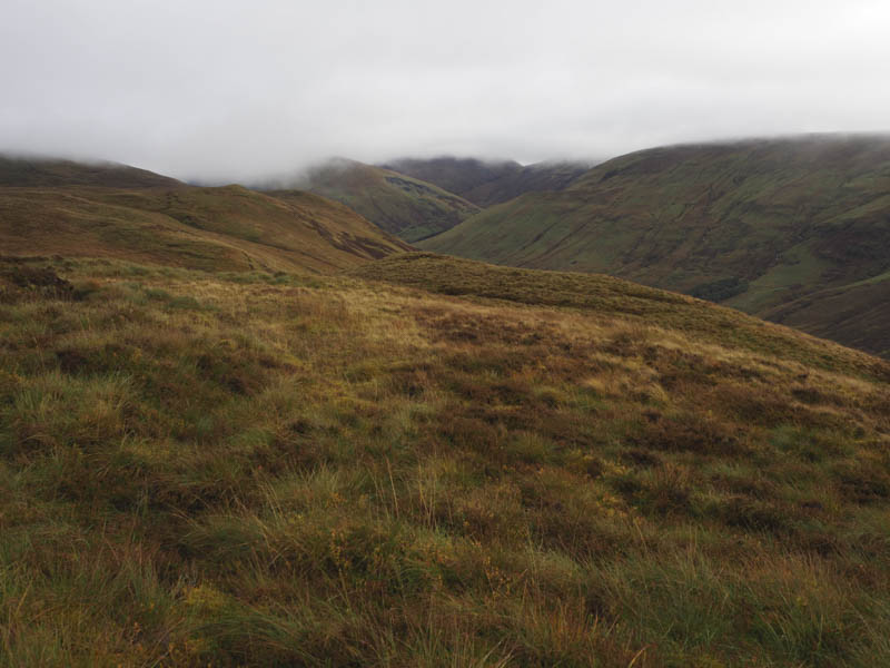
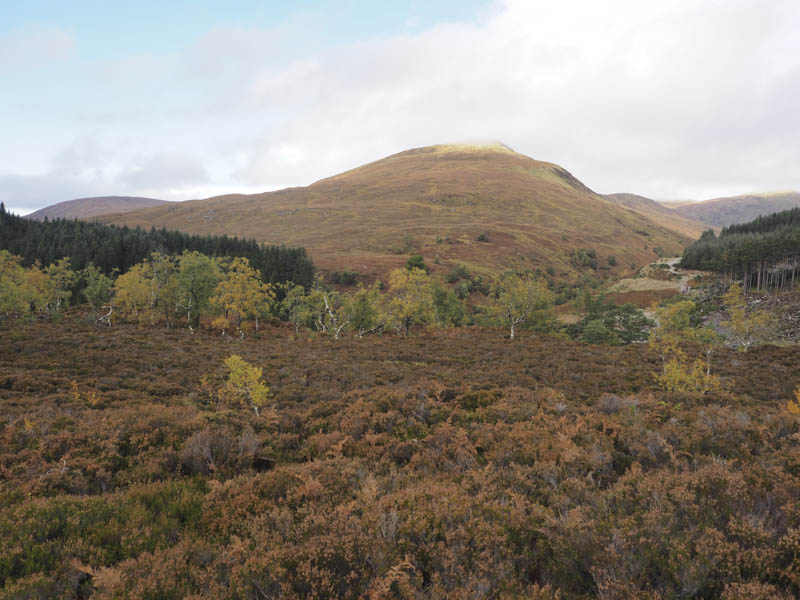
On reaching a junction of tracks I briefly walked north, passed through a gate in a new stock fence, then through a waterlogged field and across another stock fence. There was more wet ground to cross then I commenced the ascent of Druim Liath. The hillside was covered in long dense dead bracken as well as a few trees with occasional animal tracks to follow. This took me onto the summit of the Tump where there was a choice of high points, either grass and moss or some reeds.
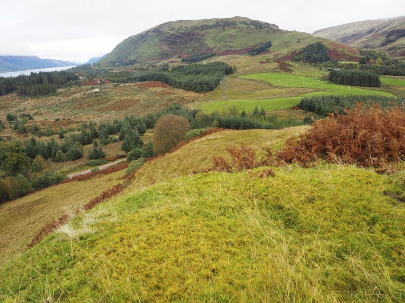
I descended east through some heather, crossed a vehicle track, a stock fence, some rough and tussocky ground, another stock fence before entering a grassy field containing sheep. At a stock gate I exited the field and climbed north-east onto the Tump, Carn a’ Ghrianain. The highest point appeared to be near some reeds to the east.
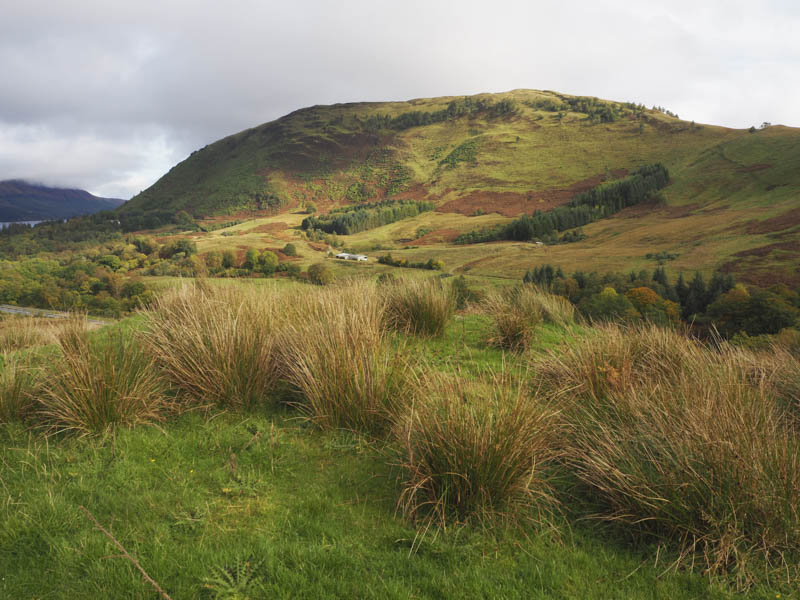
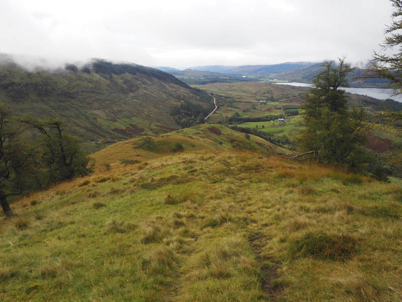
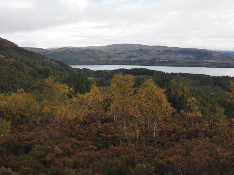
The descent south took me to the road leading to Lower Glenfintaig Farm then it was onto the A82 and the short walk back to my car.
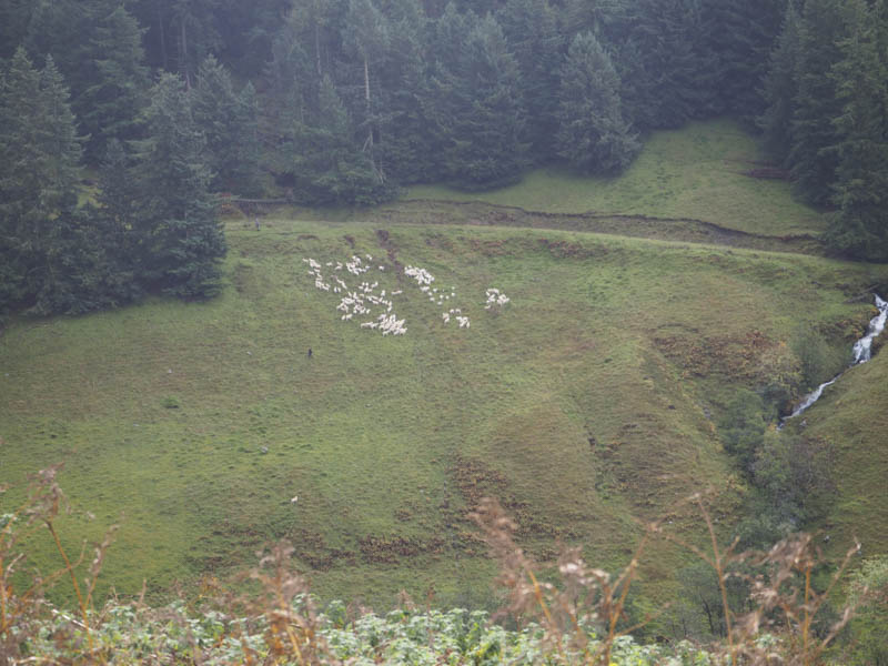
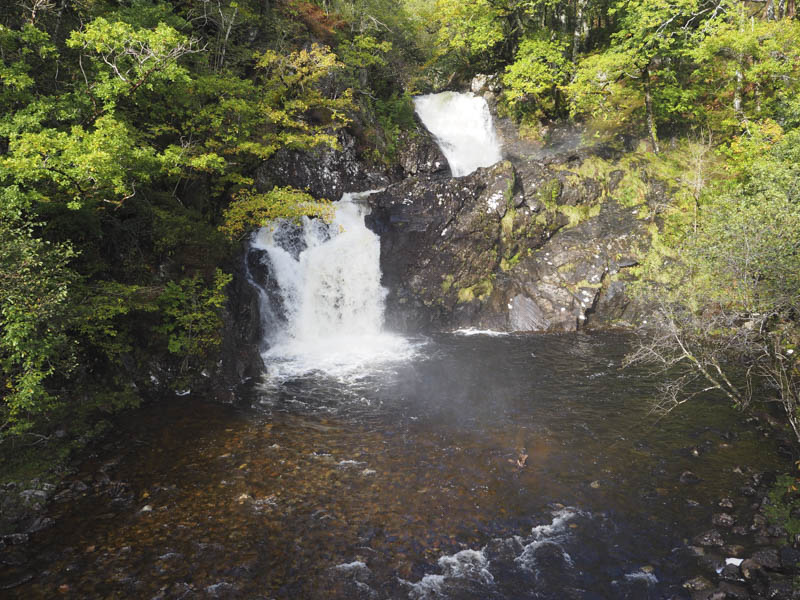
Torr a’ Chronain – I left my vehicle in the car park east of the Chia-aig Waterfalls, on the north side of the B8005 Gairlochy to Loch Arkaig Road then walked up the path on the east side of the Abhainn Chia-aig. I passed through a pedestrian gate in a deer fence and onto a forest track above a control building related to the mini hydro scheme higher up the stream.
It was a steady climb and at a junction of tracks I crossed piles of stones and climbed south-east through rough wet vegetation, heather, brash and a muddy deer track to reach the open heathery hillside. After around 100 metres of deep thick heather I reached a small mossy knoll, the summit of the Tump, Torr a’ Chronain.
The return was by the ascent route.
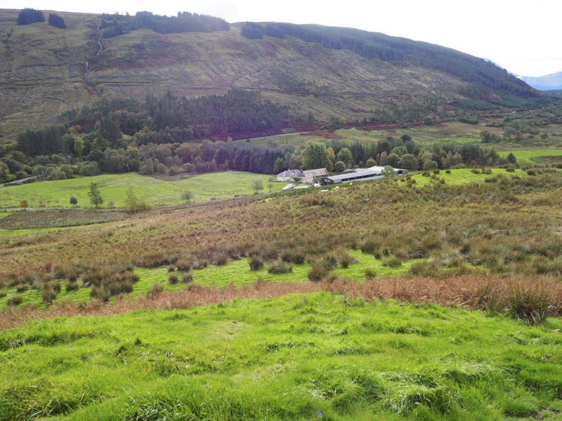
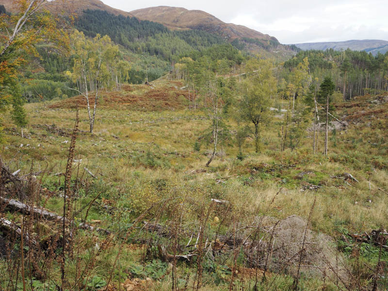
Creag an t-Saighdeir East Top and Creag an t-Saighdeir – I left my car at the start of a vehicle track on the north side of Mile Dochra, on the B8005 Gairlochy to Loch Arkaig Road (NN183887) and walked a short distance east to a gate in a deer fence. I was unable to open this gate so climbed over the fence then steeply through heather, brash and new tree plantings, there being no tracks beyond the gate. Higher up the gradient eased but there was more brash to cross to reach a small area of mature trees which had been left standing. The highest point of the Tump, Creag an t-Saighdeir East Top, was a mossy knoll within the well spaced trees.
The descent south took me onto a forest track which was followed west then south-west to a narrower track going west. This took me to a gate in a deer fence and beyond it a muddy track which I later left to climb north through the well spaced trees and rhododendron bushes to the summit of Creag an t-Saighdeir. The highest point of this Hump was a mossy knoll.
I returned to the gate in the deer fence but instead of passing through it I followed the fence north. It was a rough going in places with some brash, mud and wet deer tracks but took me to the stone dyke on the south side of Mile Dochra opposite where I had left my car.
- Total time taken – 5.25 hours.
- Total distance – 11.75 kilometres.
- Total height climbed – 735 metres.