We left my car in the parking area on the B8043 Inversanda to Lochaline Road at the foot of Glen Galmadale and walked the short distance west then south along this single track road to the edge of the forest. On previous ascents of Beinn na Cille a path was followed up the side of the trees but on this occasion it was overgrown with bracken. We started up the north side of the stream on what appeared to be the path but were soon fighting our way through the bracken. It was slow going and hard work.
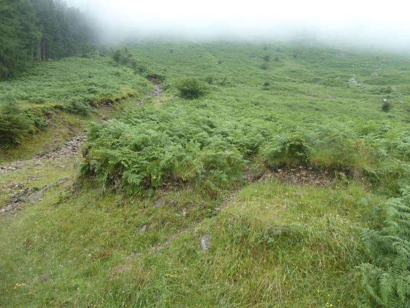
Higher up we crossed the stream and tried to keep closer to the forest where the going was slightly easier.
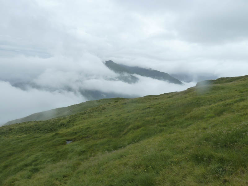
Beyond the top end of the forest we were now in low cloud and the bracken was replaced by some long wet vegetation and rocks. Progress was still a bit slow but the going became easier as the vegetation became shorter and on occasions there were traces of a path. The cloud lifted briefly allowing us views across to the Graham, Beinn Mheadhoin.
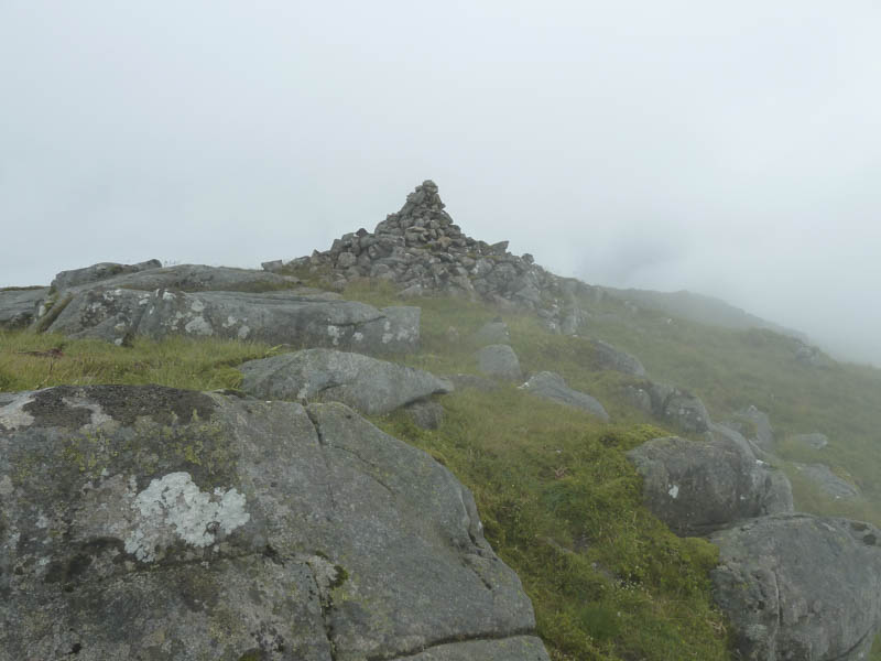
We continued through the low cloud to the cairn marking the summit of the Graham, Beinn na Cille, where we stopped for lunch.
Thereafter we descended to the col with the Corbett, Fuar Bheinn, and from there it was an awkward descent into Glen Galmadale.
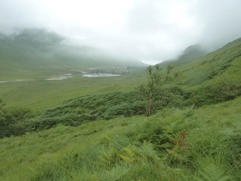
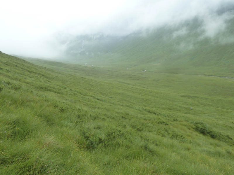
The walk down the glen was through more wet vegetation before reaching a vehicle track which was followed back to the car park.
- Time taken – 4.25 hours.
- Distance – 6.5 kilometres.
- Height climbed – 665 metres.