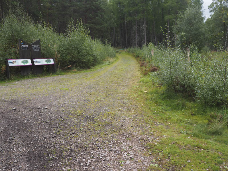
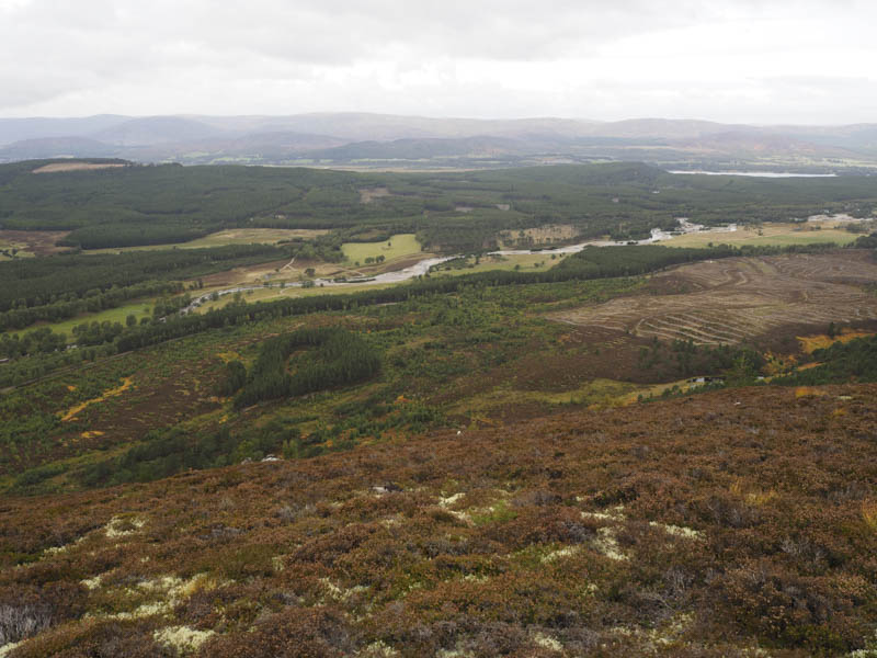
Creag Ghiuthsachan –This Hump was located on the east side of Glen Feshie accessed from the B970 at Feshiebridge. The path shown on my map running south-east from NN848999 didn’t appear to exist due to tree felling so I headed back, north, along the glen to NH852012 where there was parking for several vehicles.
I walked east along a vehicle track and at a junction took a right and headed south crossing a wooden footbridge. Further on I spotted a path heading onto the north side of Creag Ghiuthsachan so followed it, gradually gaining some height. However the path became a bit overgrown and swung round to the north-east so I left it and climbed south through long heather onto the summit of Creag Ghiuthsachan although the vegetation was shorter higher up.
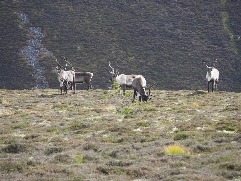
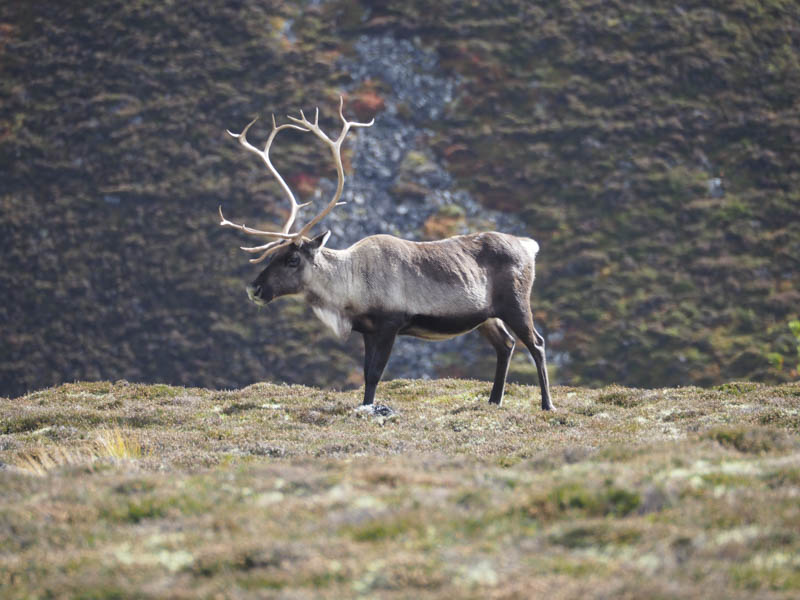
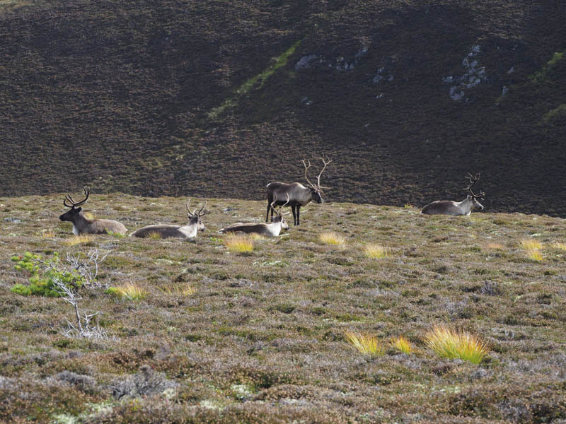
While taking a break here a small herd of reindeer appeared nearby and all lay down except for the largest one.
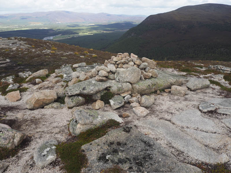
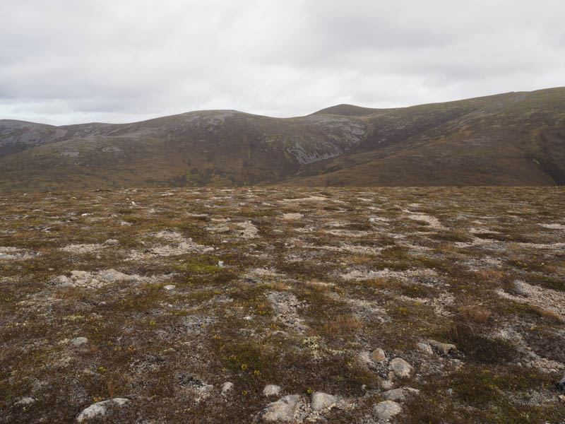
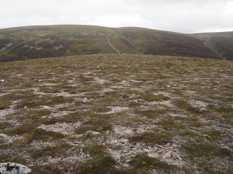
After photographing them I descended south on a path to the col with Creag Leathan and from there climbed east round the north side of Carn Ban Beag, initially on a path but it disappeared amongst the long heather. Higher up the vegetation was shorter as I headed out to the Corbett Top, Carn Ban West Top, with its two cairns, the south-east one appeared highest.
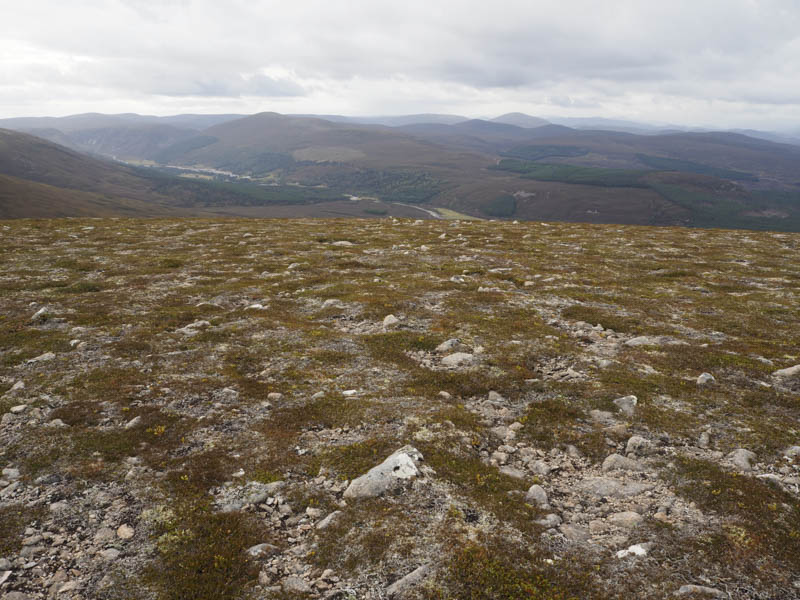
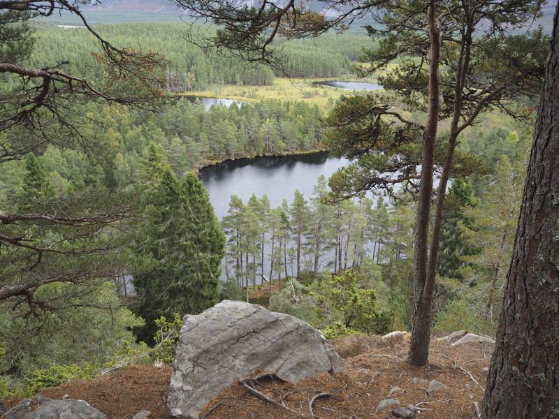
I descended north-west to the col with Carn Ban Beag and made the easy ascent to the summit of this hill. A fairly steep drop through long heather and some rocks took me to a small lochan and from there I climbed onto the south ridge of Creag Leathan and to the cairn marking the summit of this Tump.
The descent north took me through a few mainly well spaced small conifers to the col with Creag Ghiuthsachan. Here I joined the path that ran below this hill and to the point where I had left it earlier. I then followed the outward route back to the start.
Creag Far-leitre – I then drove round to the car park at Uath Lochan, accessed from the unclassified road on the west side of Glen Feshie, and from there climbed the Tump, Creag Far-leitre, visiting the cairn and mound.
- Total time – 5 hours.
- Total distance – 12.5 kilometres.
- Total height climbed – 750 metres.