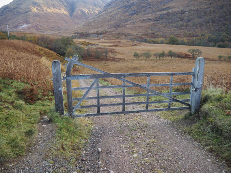
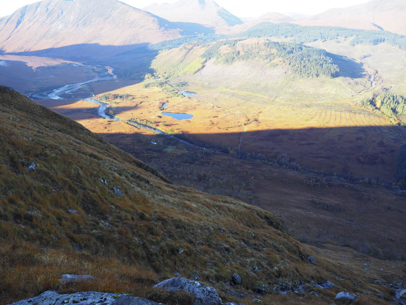
I drove down Glen Etive, accessed from the A82 east of Glen Coe, and parked on an area of rough ground just north of the access road leading to the house at Coileitir. I then walked down this access road to the bridge over the River Etive and almost immediately after crossing it followed the vehicle track that ran north on the east side of the river.
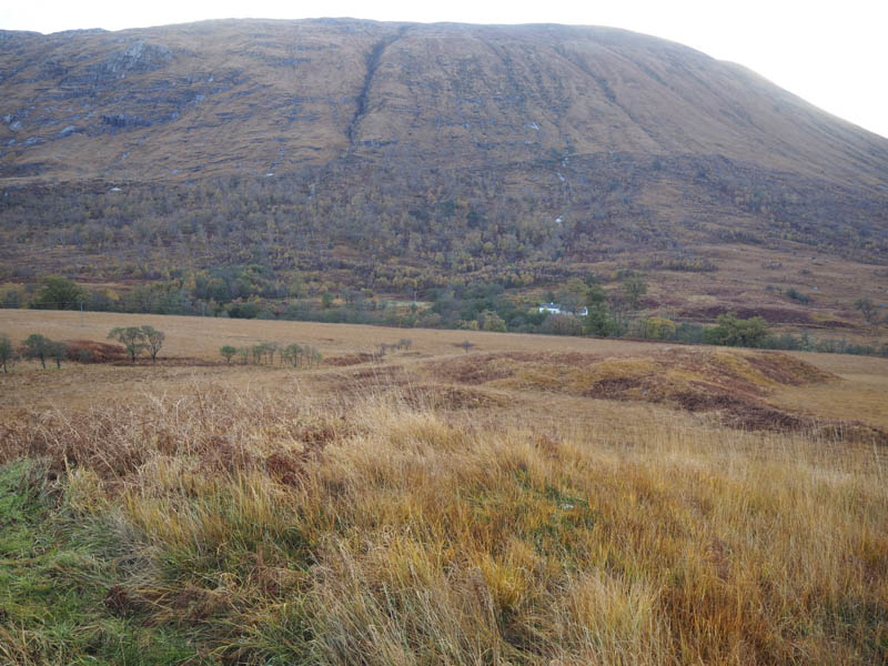
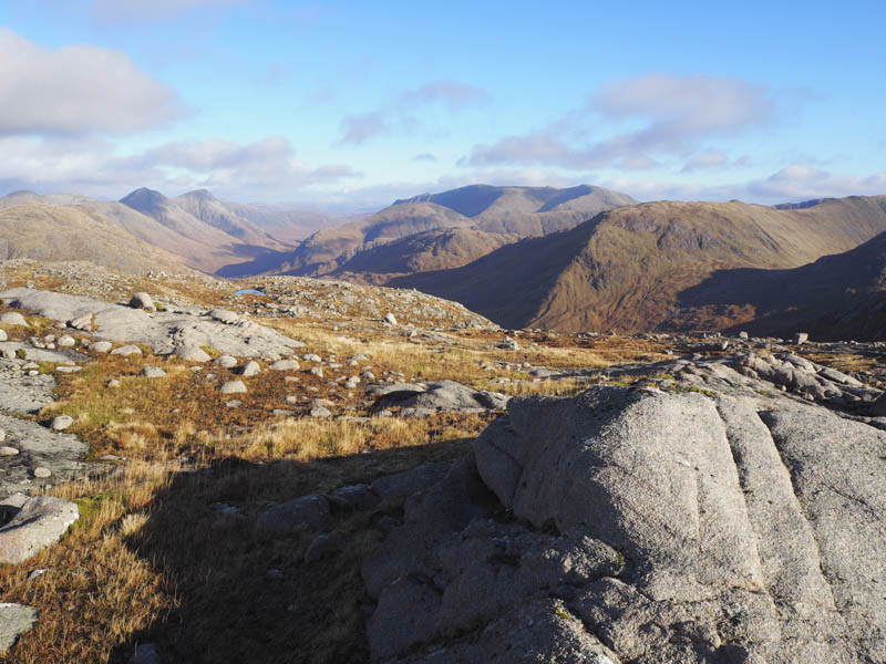
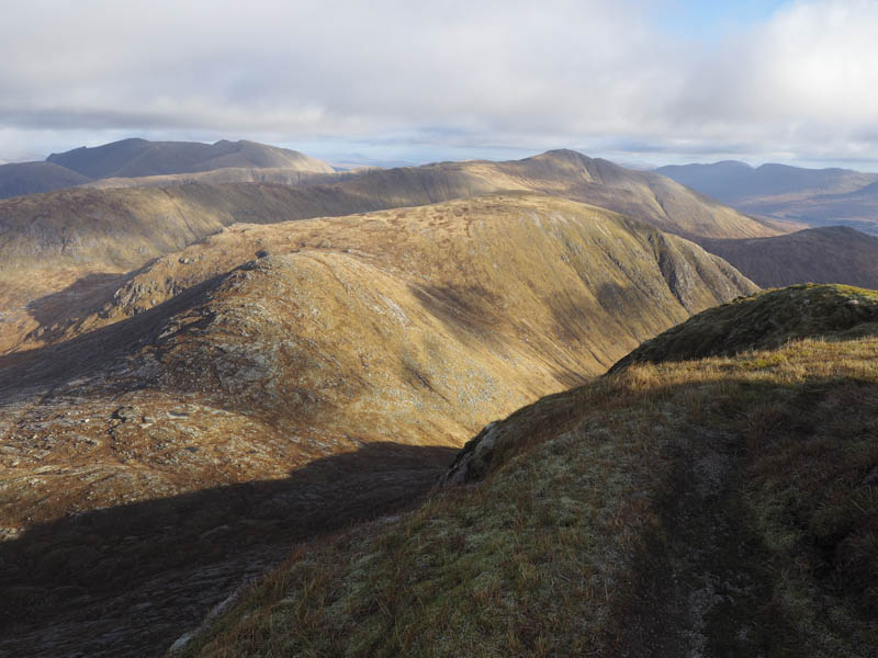
On the east side of the track was a deer fence so once it came to an end I left the track and crossed rough, wet and tussocky ground, then an area of dead bracken and long vegetation avoiding the odd boulder as I headed for Beinn Chaorach. I came across a well worn deer track, which was wet and muddy, but led through a gap in the crags although there were still some rocks to clamber over. The deer track later became less obvious as other routes opened up but it was still a bit of a slog. After nearly two hours from setting out the gradient eased and I left the shade to be hit by the morning sun.
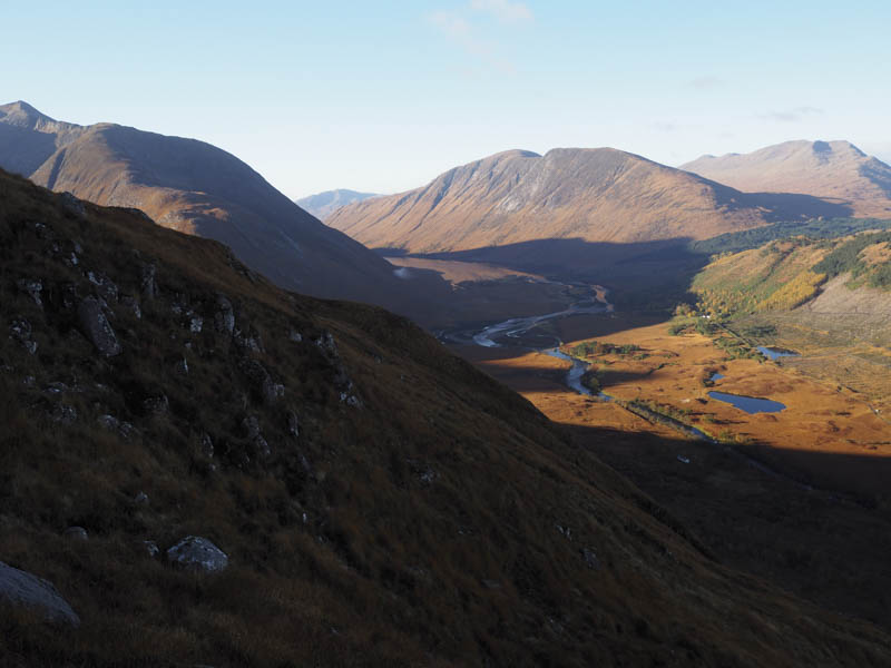
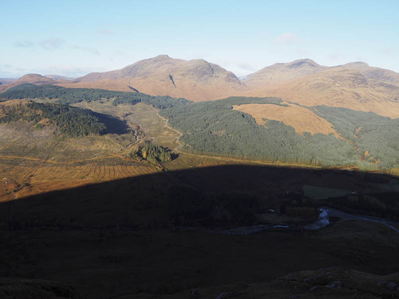
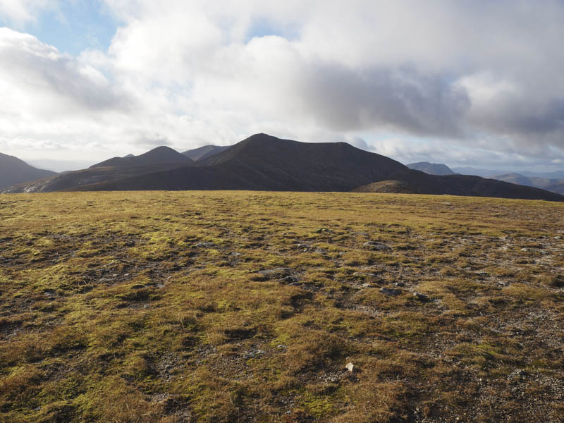
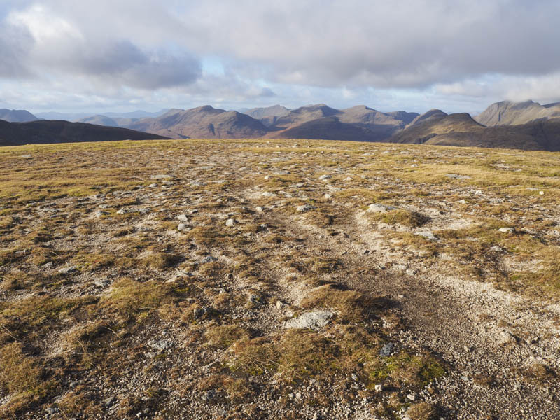
I continued to Beinn Chaorach then to the head of Coire Glas where the ground was frosted and there was a touch of ice on the pools.
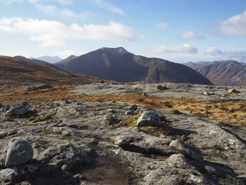
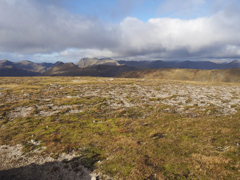
This was followed by a steady climb to the summit of the Munro, Stob Coir an Albannaich, and here there was a cold wind blowing and it was beginning to cloud over from the north.
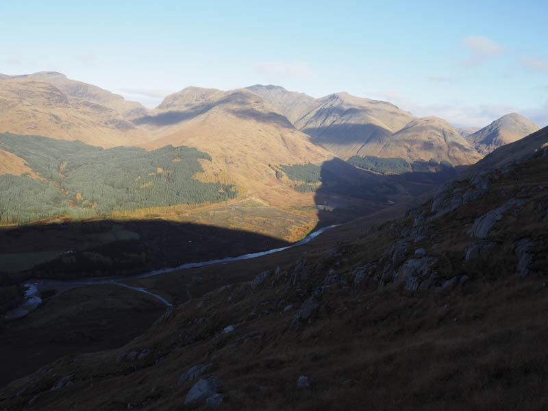
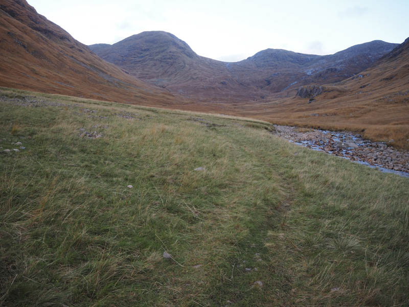
I therefore didn’t hang around and headed off down the path on its south-east ridge. Lower down a small cairn marked the point to leave the ridge and descend to the col with Meall Tarsuinn. Previously I descended this gully but there was now a more obvious path just to the east although on taking this route it involved some boulder scrambling lower down.
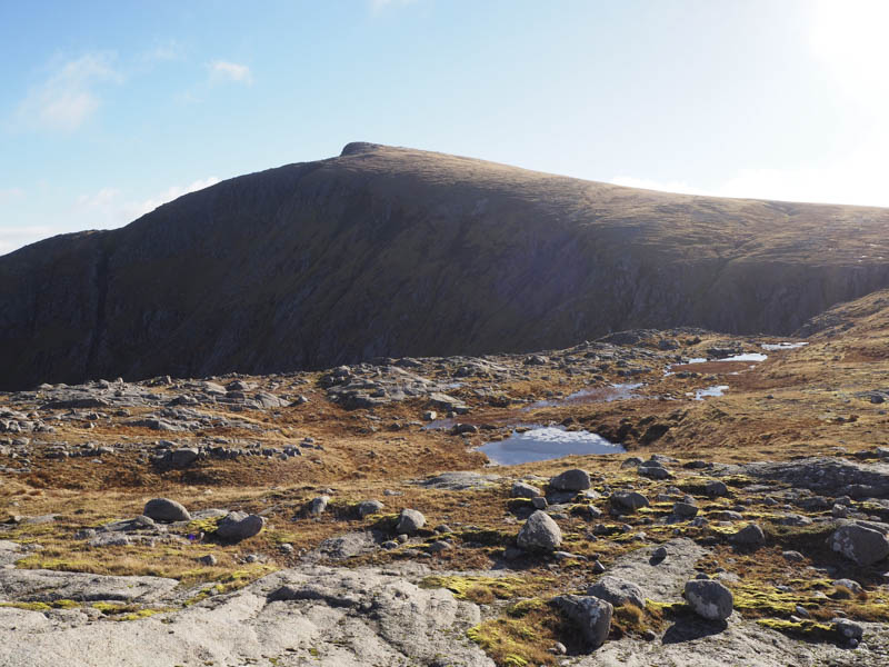
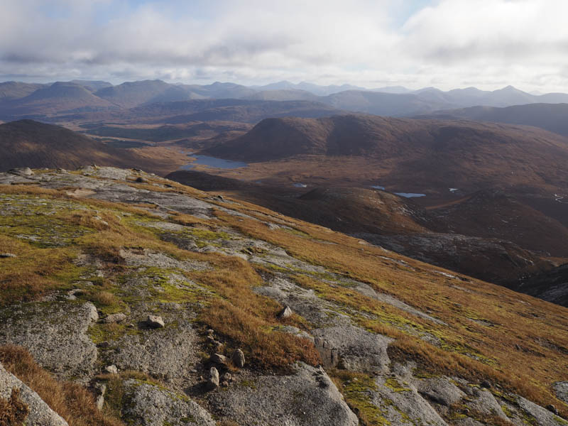
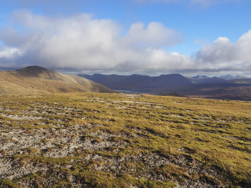
From the col I climbed the Corbett Top, Meall Tarsuinn, before continuing on the path to the col with Meall nan Eun from where I gained its north-west ridge. It was then an easy walk to the cairn marking the summit of this Munro where I took a break.
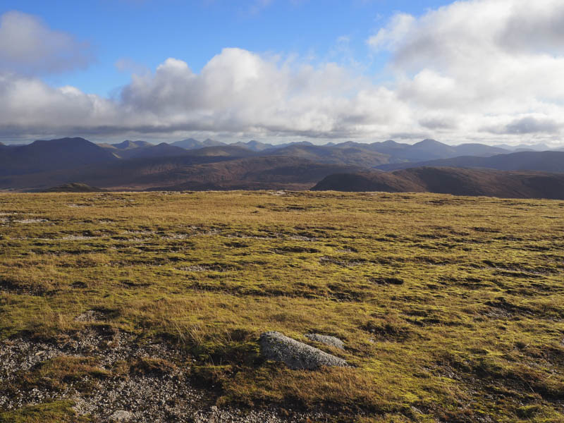
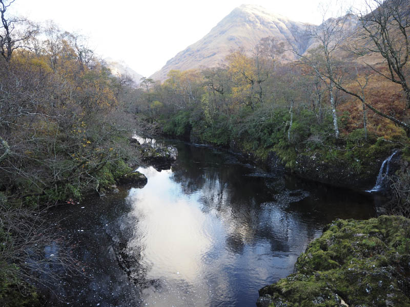
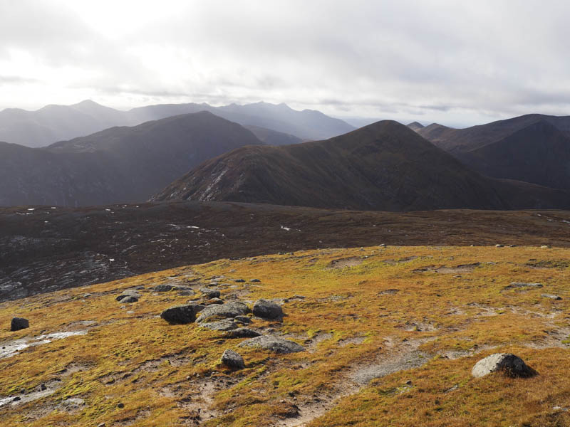
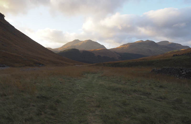
The descent was back along the north-west ridge then there was a gradual loss of height as I worked my way through the crags and into Glen Ceitlein. Here a path, wet and boggy at times, led to the vehicle track on the east side of the River Etive from where I returned to the start.
- Time taken – 8.5 hours.
- Distance – 16.75 kilometres.
- Height climbed – 1340 metres.