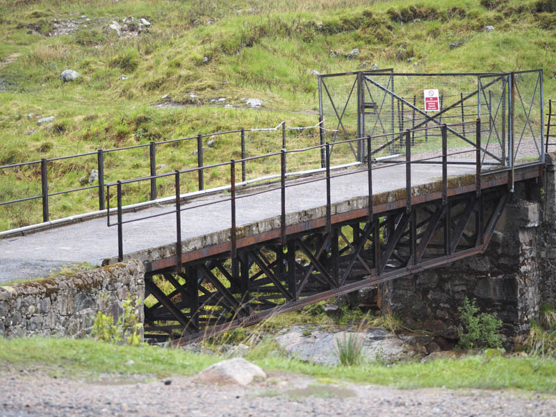
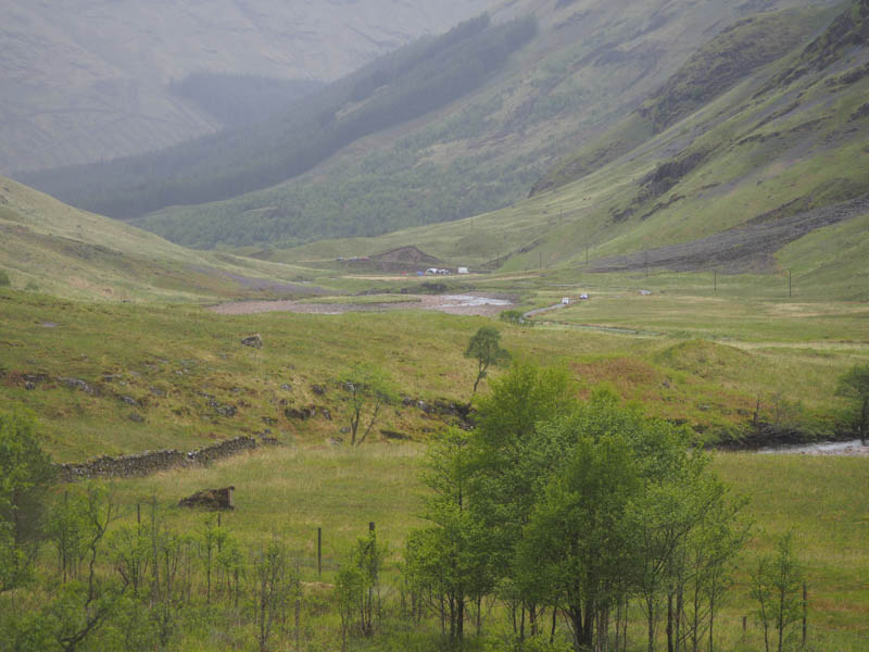
I parked at the side of the single track road in Glen Etive near the bridge giving access to the property at Alltchaorunn, crossed the bridge over the River Etive and passed through an unlocked gate.
Since my last visit a marked path to the east avoided passing close to the house at Alltchaorunn and due to the recent dry spell the muddy sections of this path were easily avoided. I’m not sure how suitable this route would be after heavy rain. Before joining the path up the east side of the Allt a’ Chaorainn a stile was crossed with a bit of a quagmire on either side.
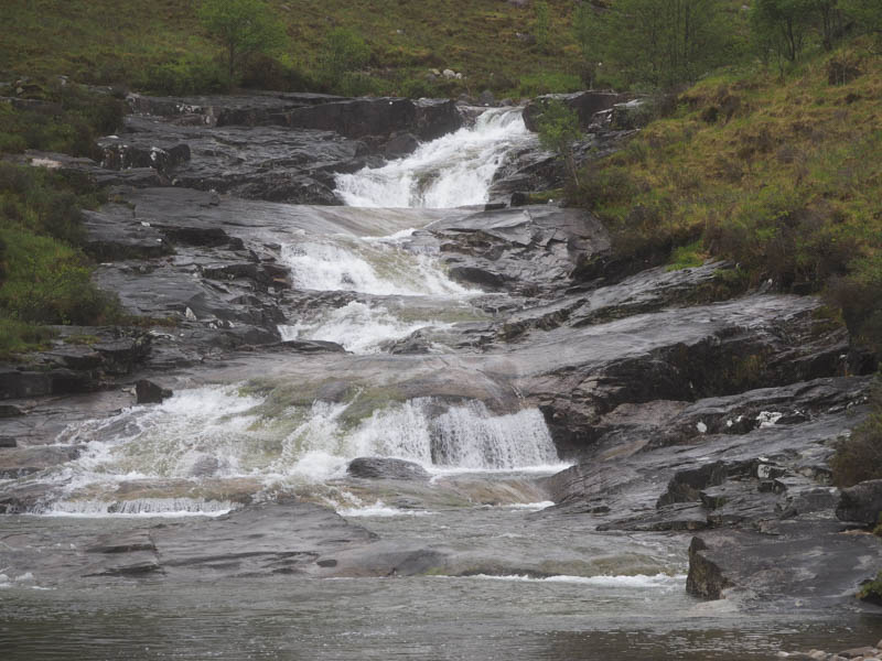
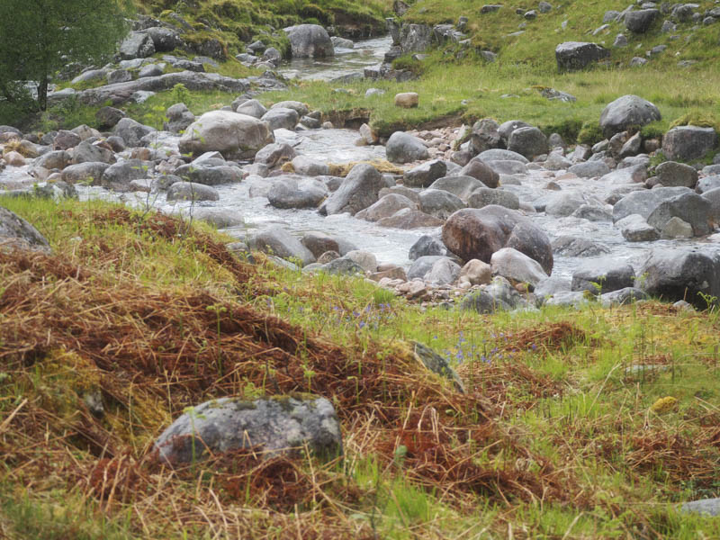
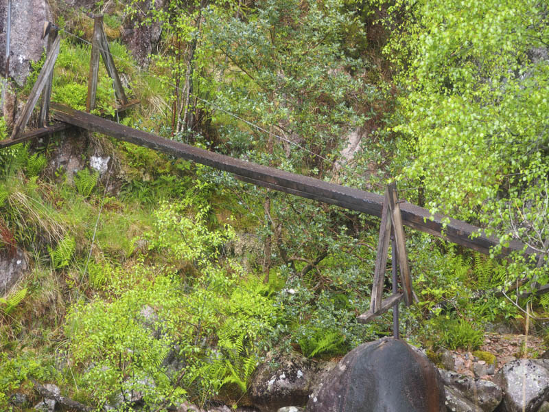
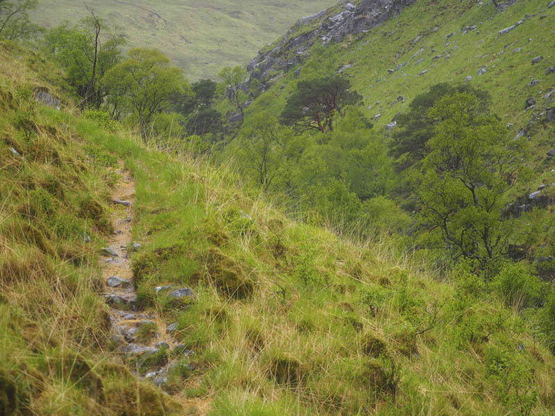
Despite the rain and pools of water it was a pleasant walk up the side of the waterfalls on the Allt a’ Chaorainn to the Allt Coire Ghiubhasan. This stream was crossed at a ford where the water was quite low. I wouldn’t want to use the nearby wooden plank bridge as it didn’t look safe.
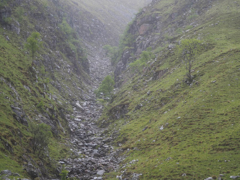
A path then headed south up Coire Ghiubhasan above the Allt Coire Ghiubhasan gorge before continuing close to its south bank.
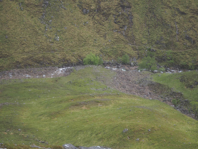
Just after the dry stream coming down from Coire Aiteil I re-crossed the Allt Coire Ghiubhasan and commenced the ascent of the Corbett, Beinn Mhic Chasgaig.
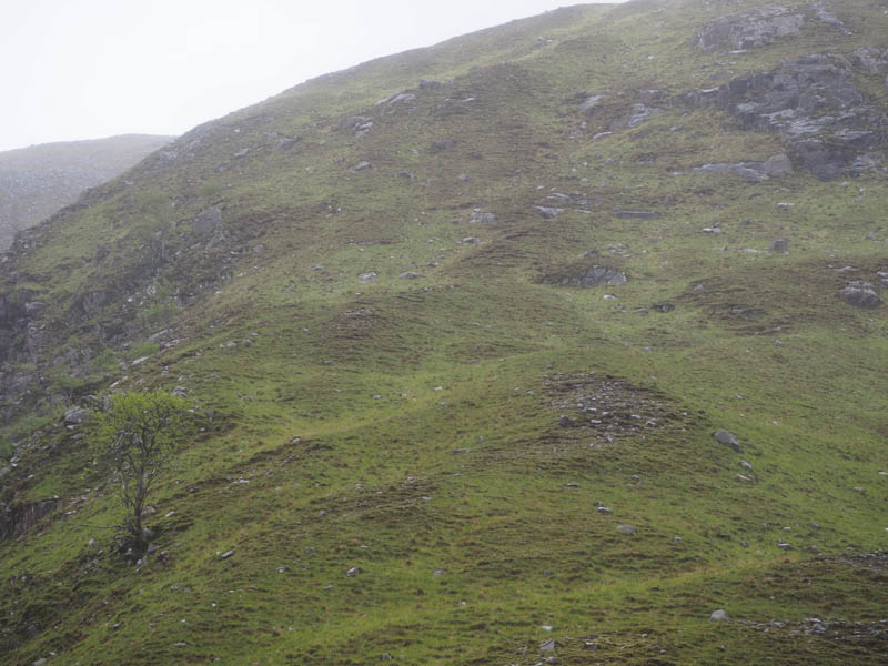
It was a fairly steep climb until higher up where the gradient eased and I headed for the summit cairn and boulder. I did get a view down into Glen Etive but it was windy so I didn’t linger long and returned by the upward route.
- Time taken – 4.75 hours.
- Distance – 8.75 kilometres.
- Height climbed – 845 metres.