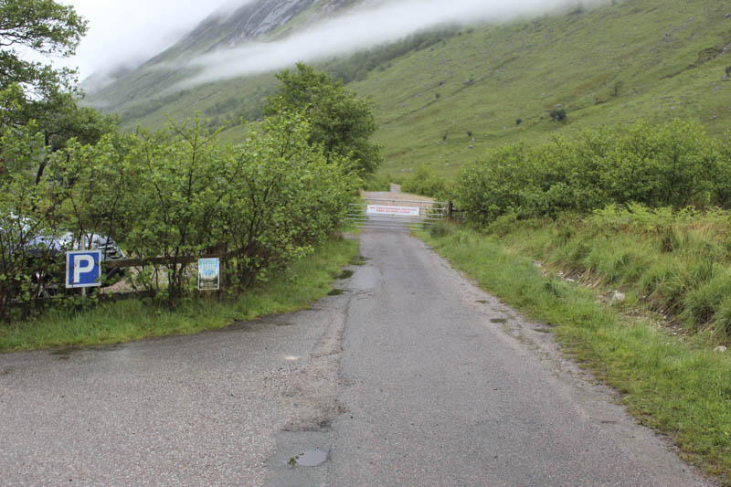
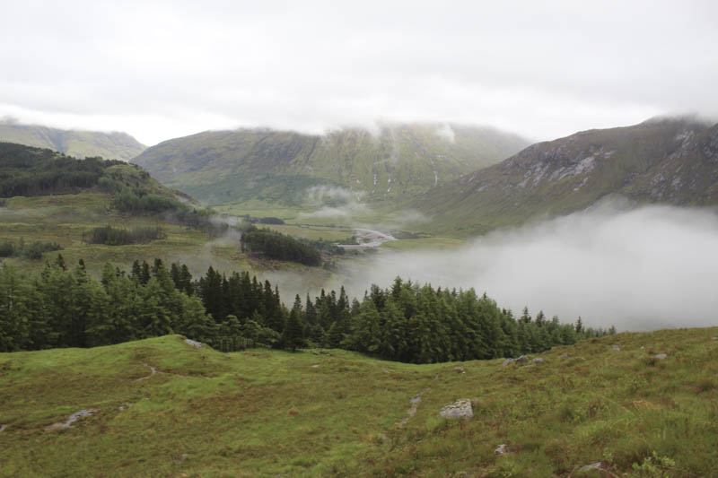
I left my car in the car park at the foot of Glen Etive and walked round the stock gate that prevented vehicles form heading further south-west then immediately turned right onto a forest track where I crossed a ditch and commenced the ascent of Beinn Trilleachan.
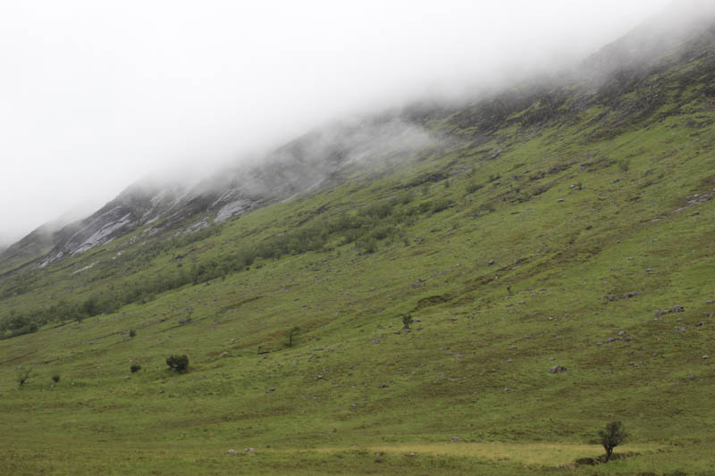
This took me through some long wet grass on a boggy path along the edge of a deer fence. Higher up the paths were like streams with water running down them.
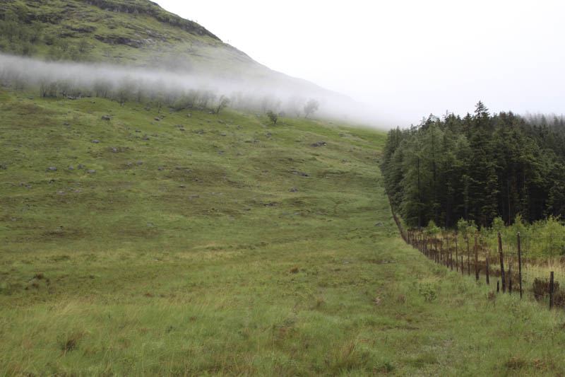
I later left the deer fence and followed more wet paths onto Meall nan Gobhar and the north-east ridge of Trilleachan Slabs.
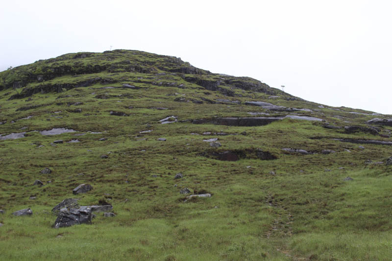
I was now in the low cloud and the earlier spots of rain had been replaced by heavy rain which continued for the rest of the walk. Underfoot the area now consisted mainly of rock as I made my way to the cairn marking the summit of Trilleachan Slabs, a Graham Top.
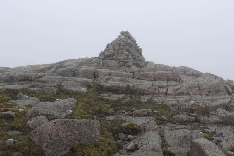
The descent to the col with Beinn Trilleachan in the poor visibility involved trying to avoid the larger granite boulders but once beyond the col it was an easy walk with less rock to contend with as I ascended to the cairn marking the summit of the Corbett, Beinn Trilleachan.
The return was by the ascent route.
- Time taken – 4.5 hours.
- Distance – 8.25 kilometres.
- Height climbed – 1055 metres.