Drumcroy Hill – It was back to near Kinloch Rannoch, well to north-east of the village, to climb the Marilyn, Drumcroy Hill. I parked at the west side of the single track minor road, south of its junction with the B847 Trinafour to Kinloch Rannoch Road, opposite a gate in a deer fence. I then crossed the road and climbed over the gate and commenced the ascent of Drumcroy Hill, keeping to the north of the deer fence enclosing the mature fir trees and an old stone dyke. The going was rough due to drainage channels, some re-seeded trees and boggy ground. Close by and to the south new trees had been planted.
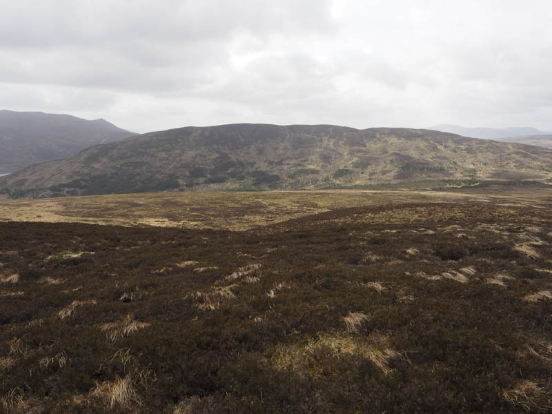
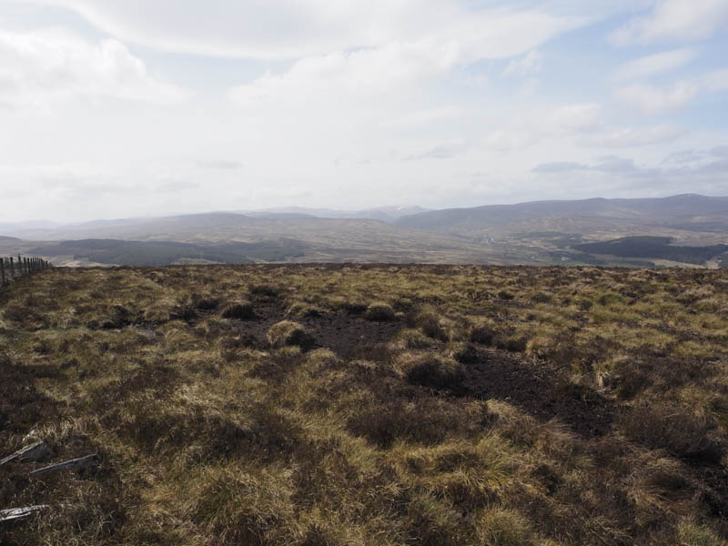
Higher up the deer fence turned north so I crossed it and continued east through some mossy ground and well spaced trees, including a few fallen ones, keeping to the north of the old stone dyke. To the south a large area of the trees had been harvested. On approaching the summit area it was a mass of fallen trees so I crossed the stone dyke looking for a small cairn on the dyke which apparently marked the highest point on Drumcroy Hill. However the fallen trees had demolished this section of the dyke, which wasn’t in great nick in any case. A small cairn was now positioned on the south side of the dyke.
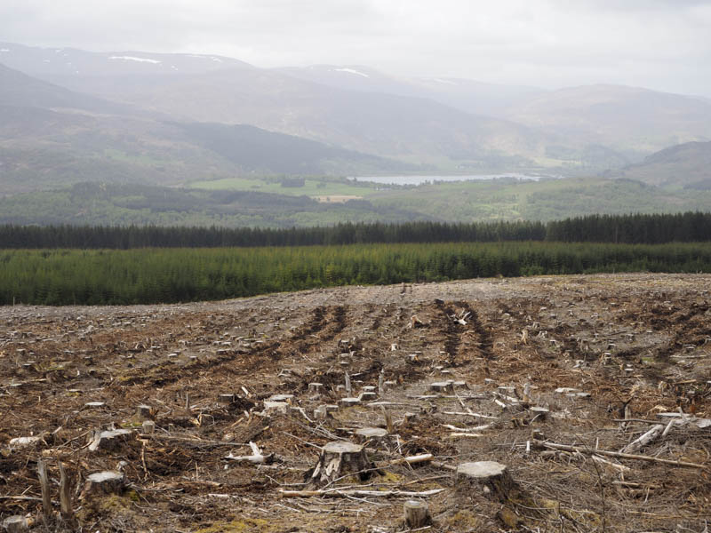
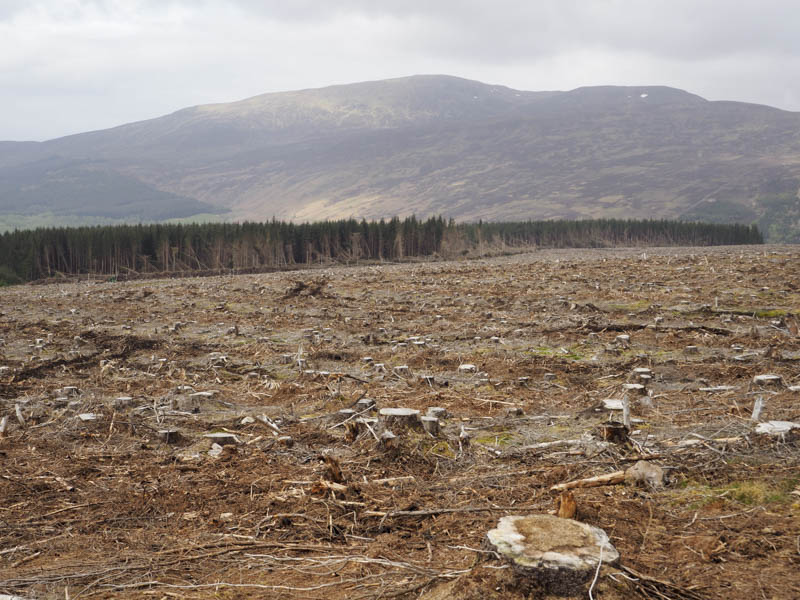
I returned to the deer fence and kept to its south side. It was rough going alongside the harvested area but easier once I was beside the mature trees where there were some deer tracks to follow. On approaching the road I had to clamber over the deer fence to reach my car.
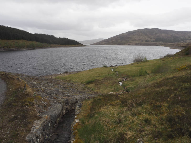
Sron Con, Meall Dail-chealach and Meall Dail-chealach South-East Top – I parked at the side of the minor road, north of Trinafour, and beside the access road to Errochty Dam. I then passed through a pedestrian gate and walked along this tarred road, gaining a bit of height, to the dam.
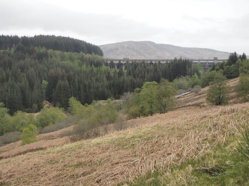
Here a vehicle track continued above the north shore of Loch Errochty then with a slight loss of height to the bridge over the Allt Conn where a sign said ‘Sron Gate’.
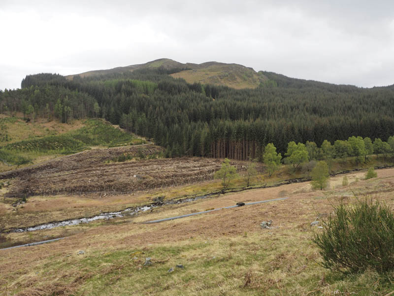
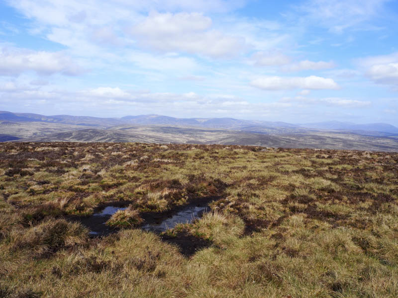
I crossed the bridge and continued along the track to beyond the woodland enclosed by a deer fence. Here I left the track and climbed north-west. It was a steady climb but the vegetation wasn’t too long so I made reasonable progress to reach the summit of Sron Con, the highest point of this Hump marked by a cairn.
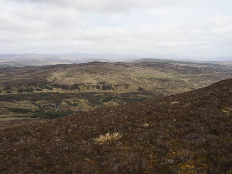
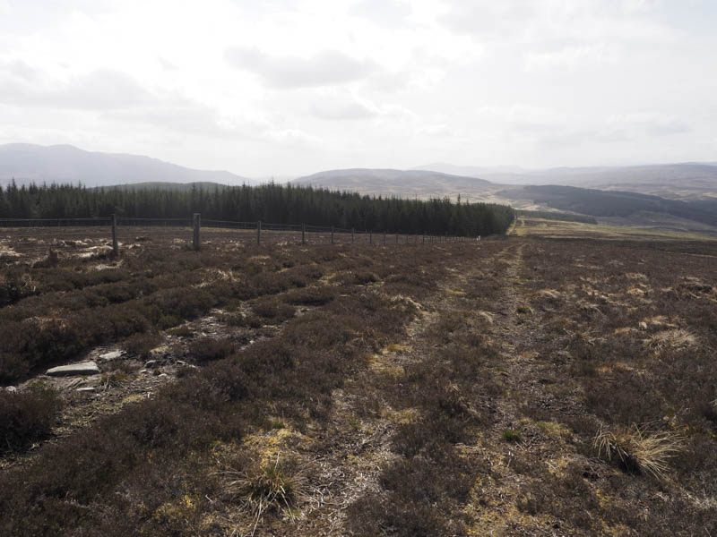
After a break sheltering from a chilly breeze I returned to the bridge, gained a bit of height staying on the track, then left it and climbed north-east through mixed vegetation. I crossed another vehicle track and continued the ascent of Meall Dail-chealach. The summit of this Tump was marked by a couple of stones. There was a large cairn nearby but apparently it was lower.
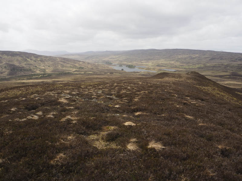
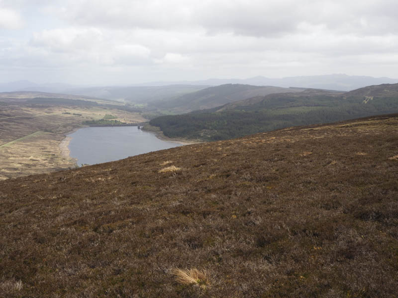
I descended south-east on a path then climbed a knoll marking the summit of the Sub Dodd, Meall Dail-chealach South-East Top, where there was a plastic tray containing grouse grit. I also crossed a second knoll which was possibly equal in height with more grouse grit but no tray.
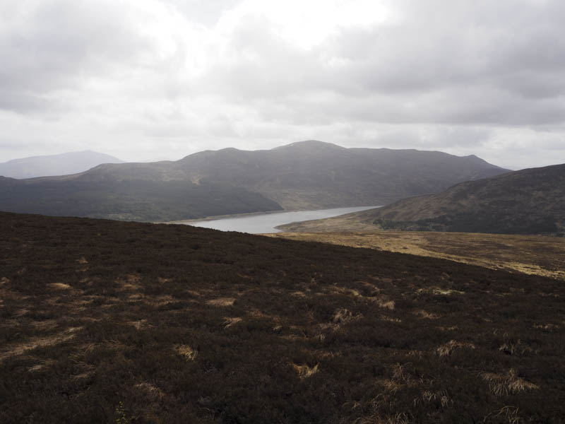
The descent south-east was through more rough vegetation crossing a vehicle track to reach the track west of Errochty Dam. I then followed the outward route back to the start.
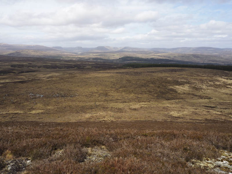
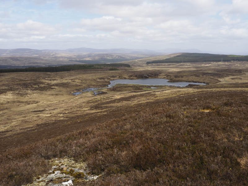
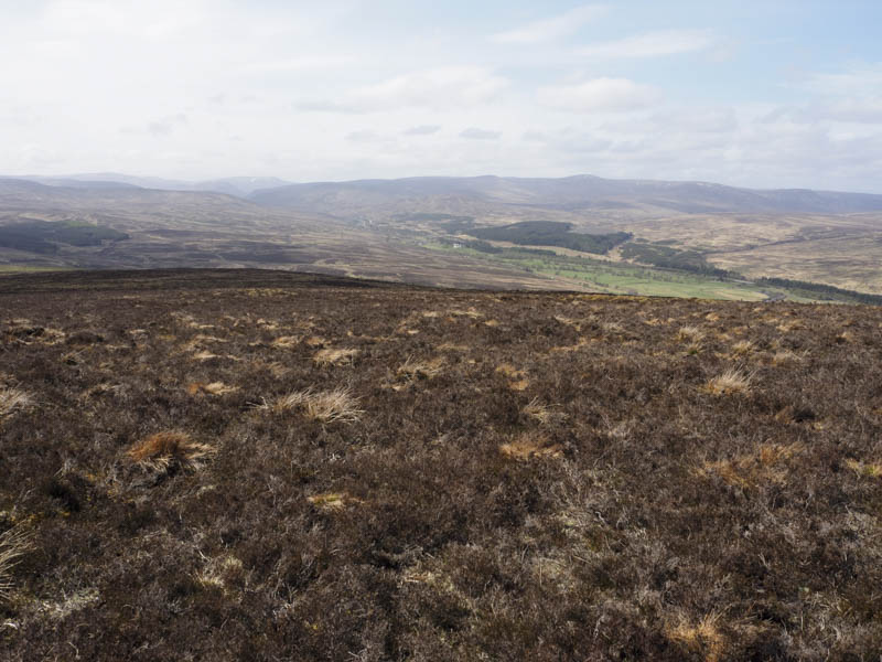
Meall a’ Chathaidh – I then drove north along the single track road north of Trinafour, General Wade’s Military Road, and parked at the west side of this minor road, south of the bridge over the Feith Mhorair. I crossed the road and walked round a couple of new gates onto a new vehicle track which soon took a left and entered a large fenced off area where new trees had been planted.
I continued east and walked up an old vehicle track beside mature trees and a deer fence. The track was wet and boggy in places and beyond the end of the trees the deer fence was replaced by a stock fence. It was then only around 250 metres to the summit of the Hump, Meall a’ Chathaidh where there was a trig point. It turned out to be on the other side of the fence, south side, but appeared to be in a slight dip. The highest point seemed to be some vegetation immediately to the east.
The return was by the approach route.
- Total time taken – 6 hours.
- Total distance – 19.75 kilometres.
- Total height climbed – 815 metres.