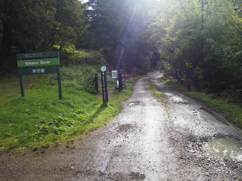
I left my vehicle in the parking area at the east end of the unclassified road in Glen Duror, accessed from the hamlet of Duror on the A828 Fort William to Oban Road, and walked south-east along the forest track on the north side of the River Duror.
The intention was to use the footbridge to cross this river at grid reference NN016537 but on my arrival a sign advised me that the bridge had been removed after being damaged in a storm. The nearby dam wasn’t a suitable alternative.
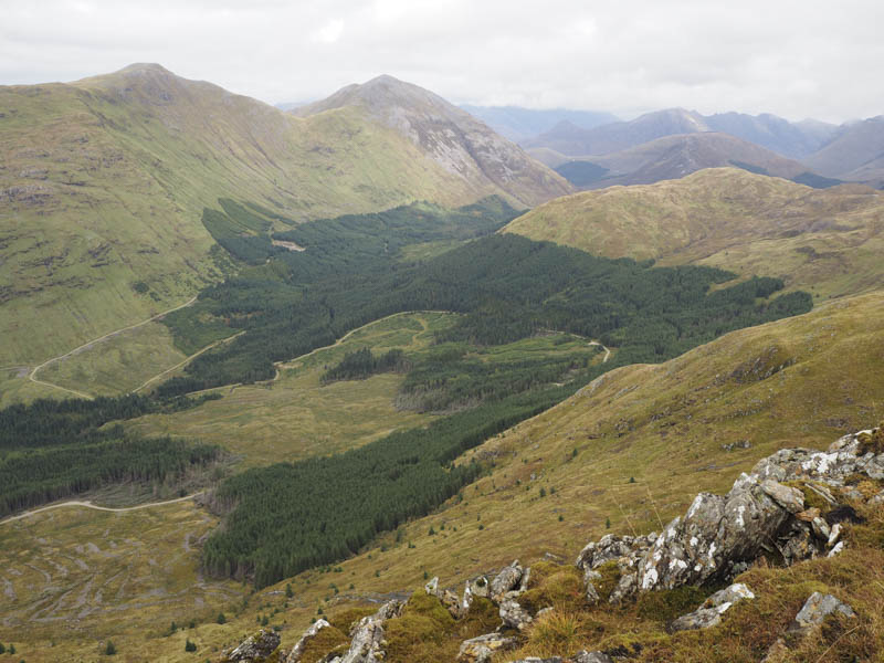
Rather than return to Duror I decided to continue along the side of the river and at grid reference NN030536 followed a track that gradually climbed through the forest. I was on the lookout for a fire break that would take me out of the trees however there was nothing suitable until at NN038529 where a few stones marked the start of an old vehicle track. Initially it was covered in rushes but wound its way through the trees and eventually emerged from the forest at NN040520 where it came to an end.
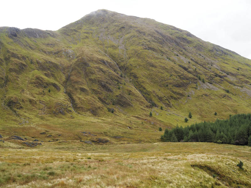
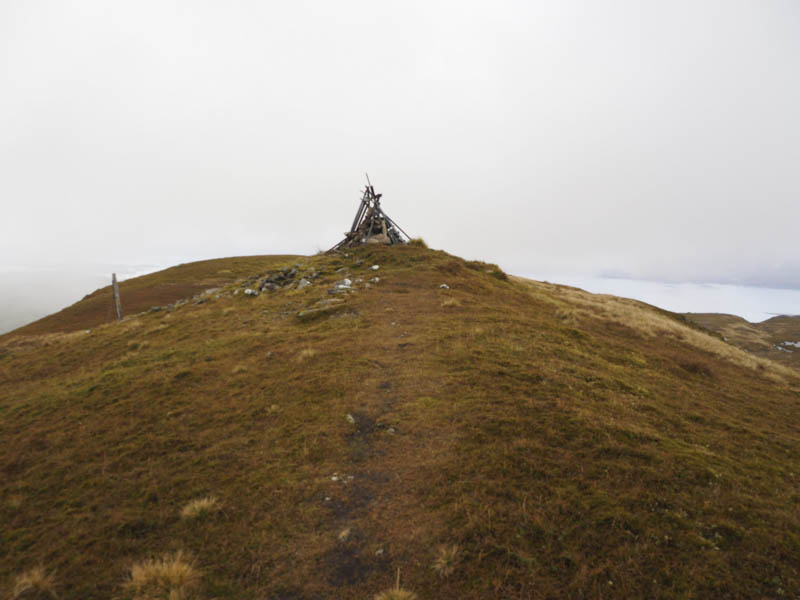
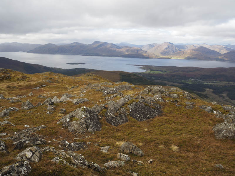
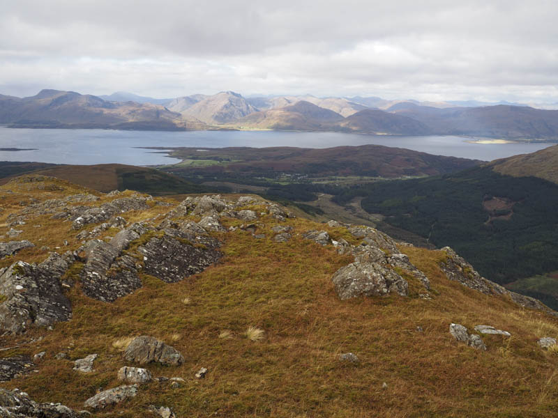
I continued through vegetation to the col between Leitir Dhriseag and Fraochaidh where a walker’s path headed up the north-west ridge of Fraochaidh with a steeper section higher up before the gradient eased and the cairn, adorned with old metal fence posts and marking the summit of this Corbett, was reached.
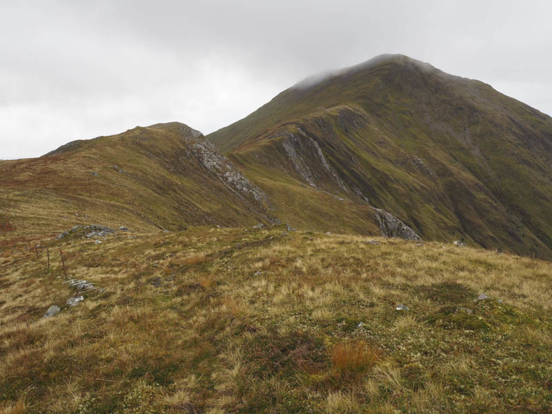
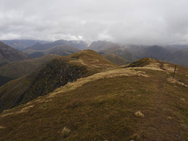
After a break at the summit, sheltering from a cool wind and a few spots of rain, I descended the north-west ridge to the col with the Tump, Meall Ban. Here there was a narrow strip of trees with some awkward walking through tussocky and wet ground. Beyond a second stock fence it was an easy enough climb to Meall Ban’s summit. Although there was a cairn I wasn’t convinced it was the highest point so visited a few knolls before descending north, steeply at times, into the forest.
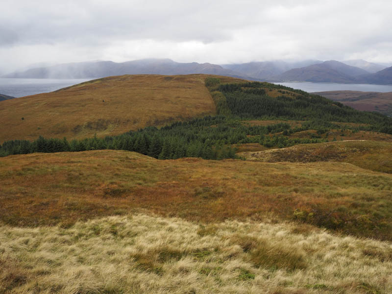
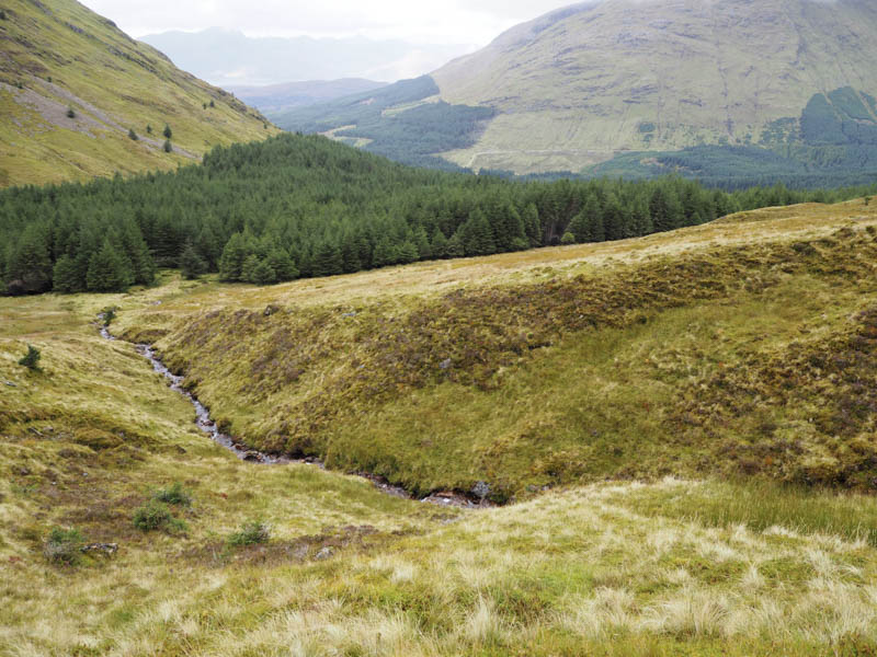
There was some very rough walking in the vicinity of a stream with several diversionary routes taken to avoid windblown trees with deer tracks occasionally assisting progress. Eventually I reached the forest track at NN005542 and followed it north-west above the River Duror. This led to an old rail line which took me across the river and to Duror and a walk of around 800 metres up the glen to the car park.
- Time taken – 6.25 hours.
- Distance – 16 kilometres.
- Height climbed – 1015 metres.