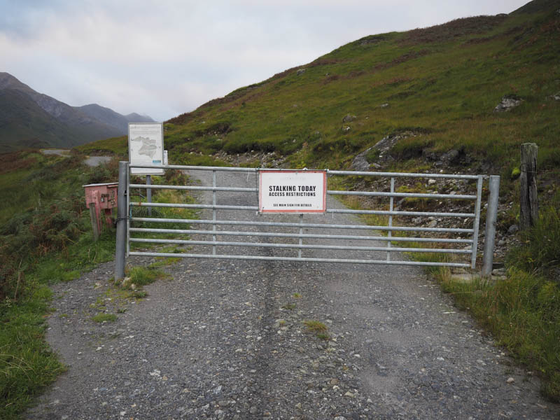
I parked in the car park at the end of the public road near the west end of Loch Arkaig, accessed from the end of the B8005 at Mile Dorcha, after many miles of single track road along the north shore of the loch. A notice advised walkers that stalking was taking place that day but the route I planned was shown on a nearby map as recommended to avoid any interference with the stag cull.
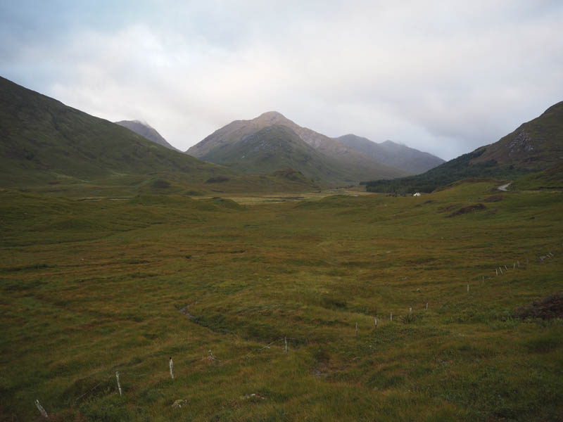
I cycled west along the vehicle track in Glen Dessarry, passed the Lodge, and towards Upper Glendessarry.
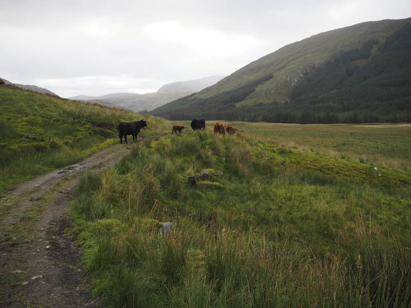
En-route I was confronted by some Highland cattle, including a bull and young calf, so took a short diversion across some rough vegetation to avoid them.
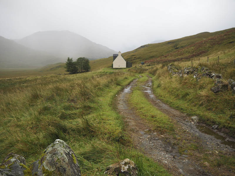
Prior to the unoccupied house at Upper Glendessarry I locked my bike and set off on foot across a stile then along the wet and muddy path, a Right of Way to Inverie.
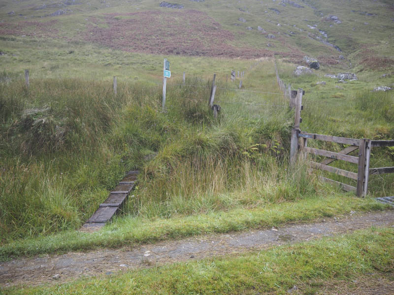
This path took me along the north edge of a forest and towards the Bealach an Lagain Duibh. Before reaching this point a walker’s path, at times also a quad vehicle track, headed off in a north westerly direction. This route was wet and boggy in places and sections of the quad vehicle trail had been roughly dug out of the hillside.
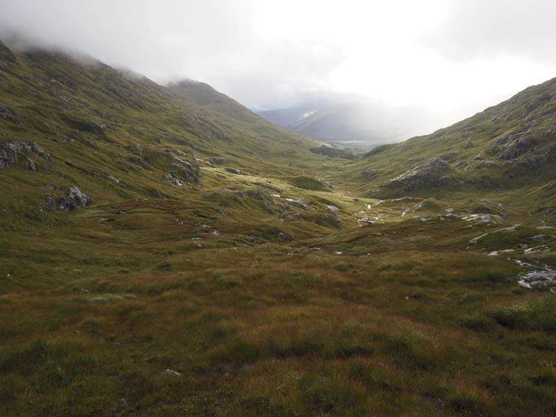
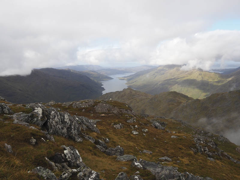
The earlier rain and low cloud began to clear as I walked along the path towards the gorge below Feadan na Ciche having left the quad vehicle track which appeared to head into Coire na Ciche.
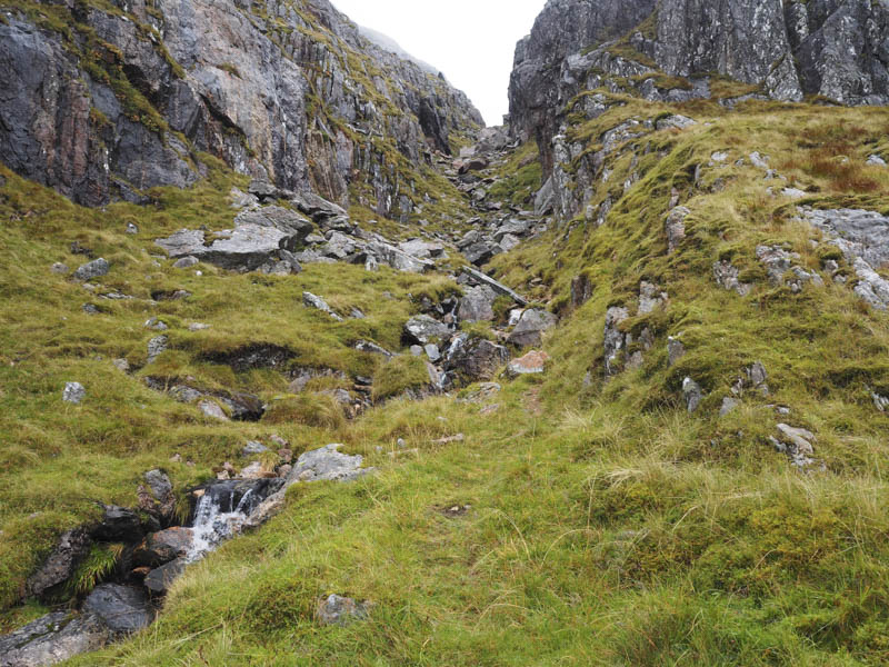
The route up this gorge took me over or round lots of boulders and large rocks as well as having to cross and re-cross the stream a couple of times.
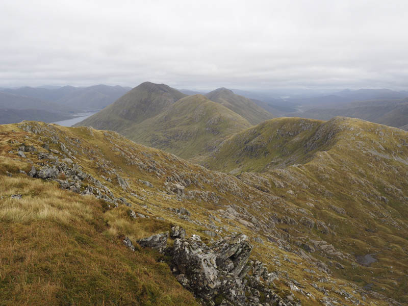
Eventually I reached the Bealach na h-Eangair but unfortunately there were no views due to low cloud.
From the bealach an old stone dyke led towards the Munro, Garbh Chioch Mhor, with some easy scrambling to reach its summit.
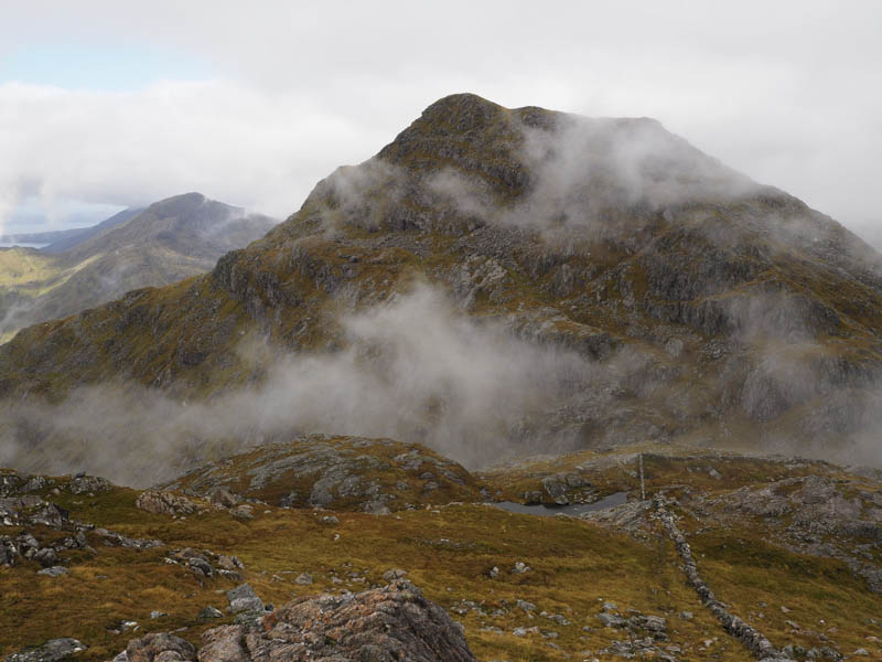
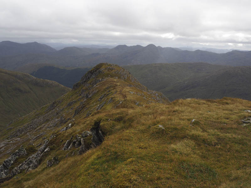
Being in the cloud I didn’t hang around and descended south-east and climbed the Munro Top, Garbh Chioch Bheag involving some down climbing and a bit more easy scrambling. Thereafter it was a long descent on a fairly rocky ridge to the Bealach Coire nan Gall taking in the Sub Simm, Garbh Chioch Bheag East Top, en-route.
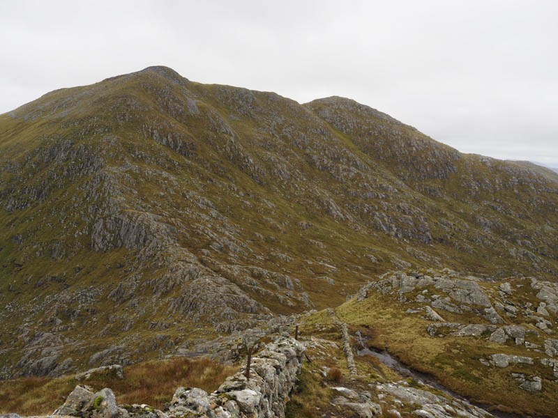
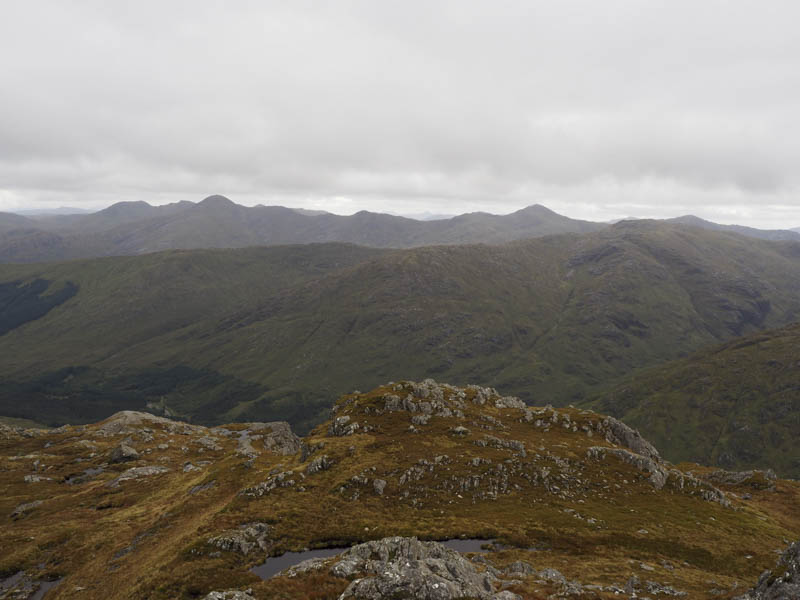
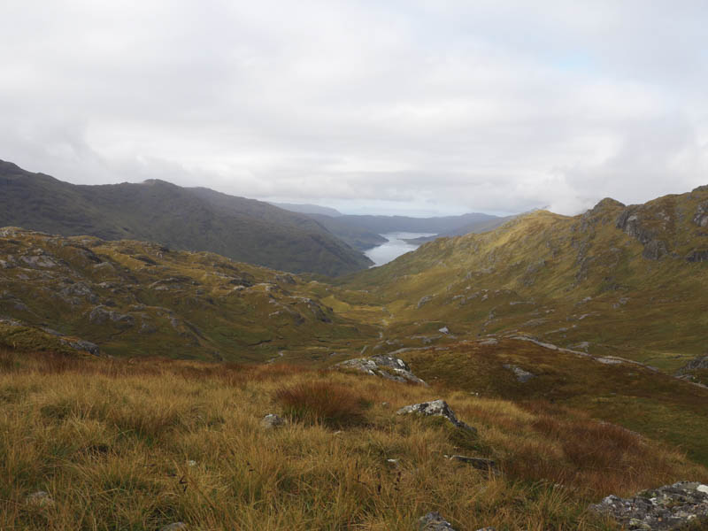
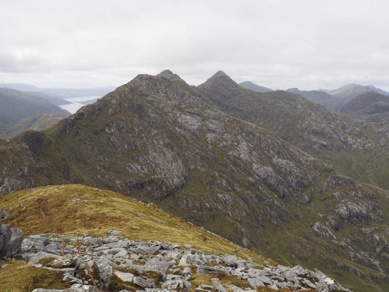
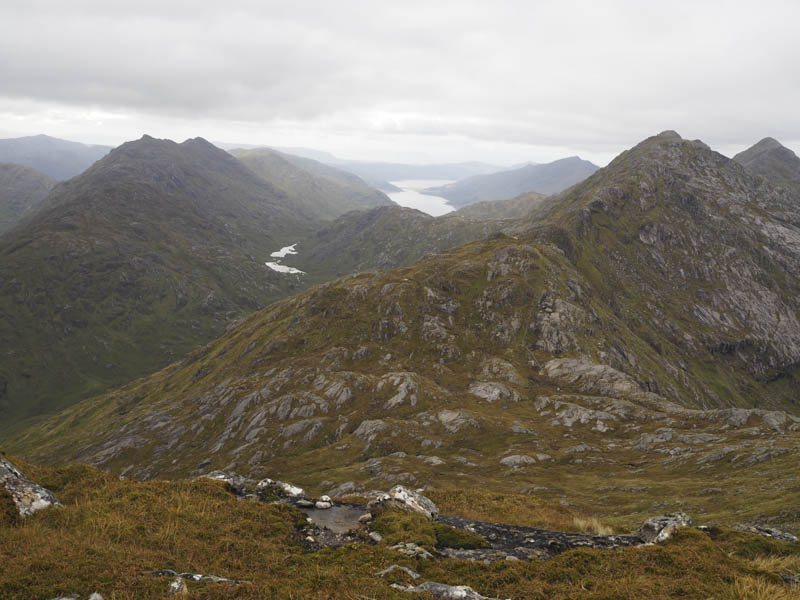
This bealach was rather boggy and wet but conditions improved with some height gain. The path soon steepened and led to the summit of the Munro, Sgurr nan Coireachan, where I now had some good views.
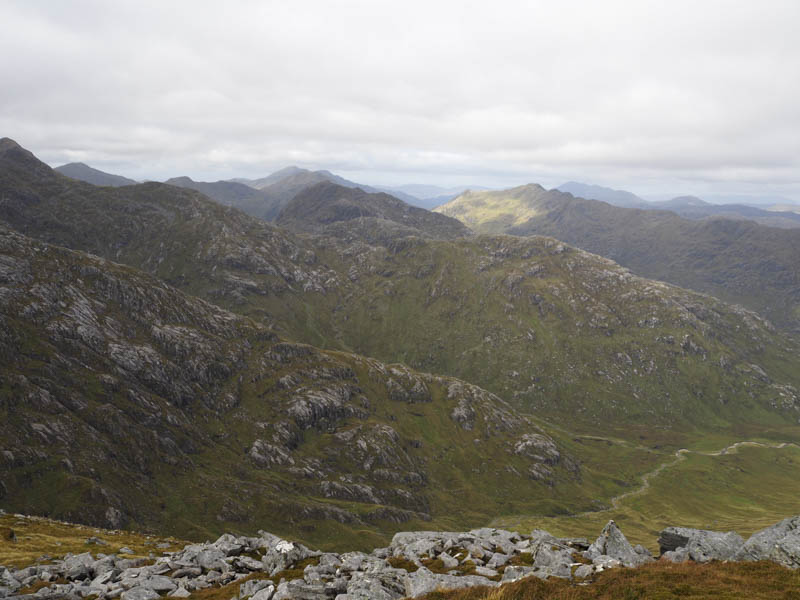
After lunch I descended south on a boggy path and across some wet rock. This long descent took me to the Right of Way immediately west of the Allt Coire nan Uth. I then followed this path back to Upper Glendessarry, collected my bike, and returned to the start.
- Time taken – 9.5 hours.
- Distance – 23.5 kilometres.
- Height climbed – 1415 metres.