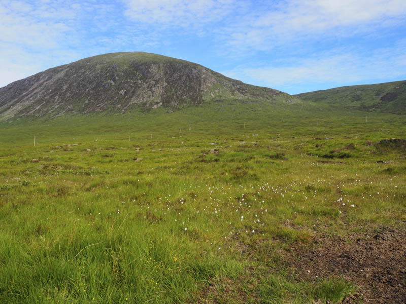
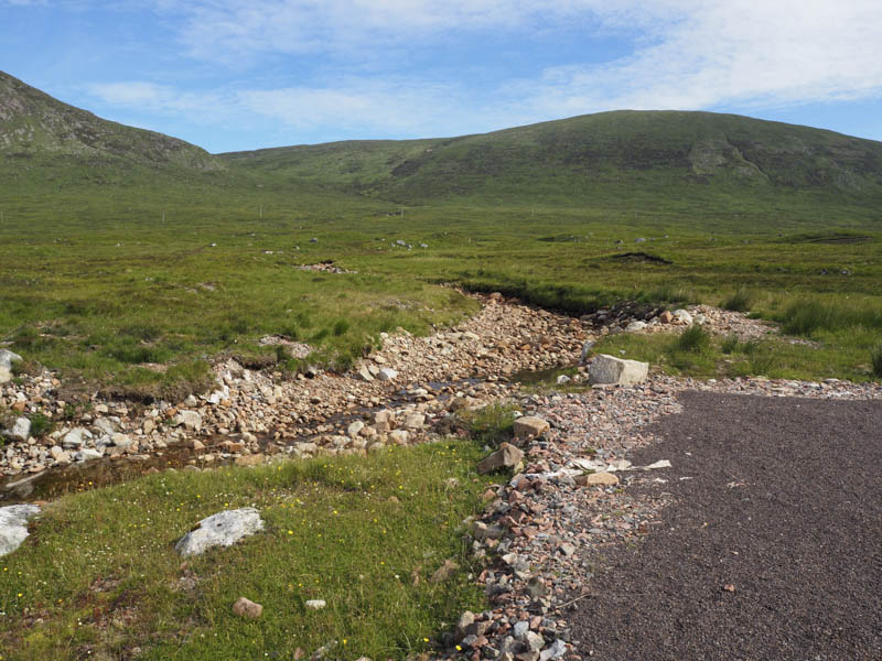
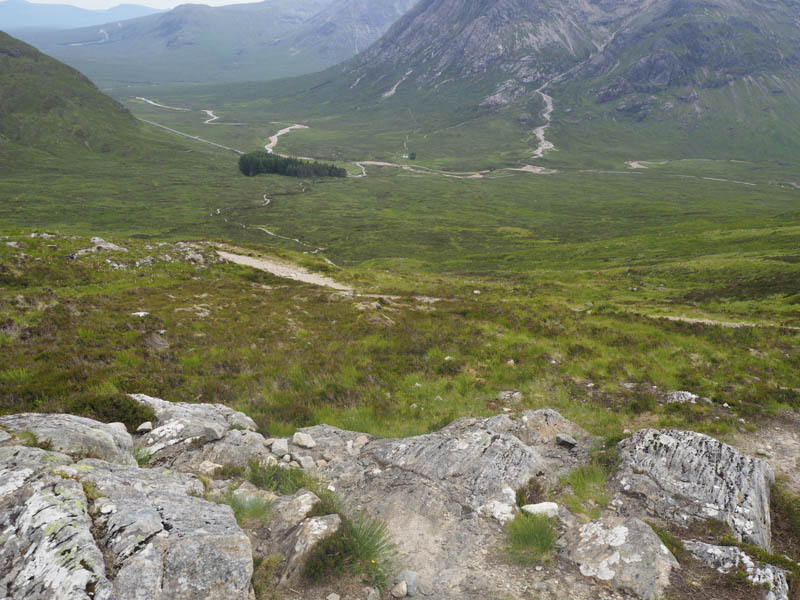
Beinn a’ Chrulaiste – I parked at the end of the unclassified road at the rear of the Kings House Hotel, accessed from the A82 east of Glen Coe. I then walked east along the private road to the Allt a’ Bhalaich then up its east bank following an intermittent path. The ground here would usually be boggy but after the recent fine weather it was relatively dry and there wasn’t a lot of water in the stream either.
![Beinn a' Chrulaiste](https://scotlandhills.net/wp-content/uploads/2020/07/01-Beinn-a-Chrulaiste.jpg)
![Route up side of the Allt a' Bhalaich](https://scotlandhills.net/wp-content/uploads/2020/07/02-Route-up-side-of-the-Allt-a-Bhalaich.jpg)
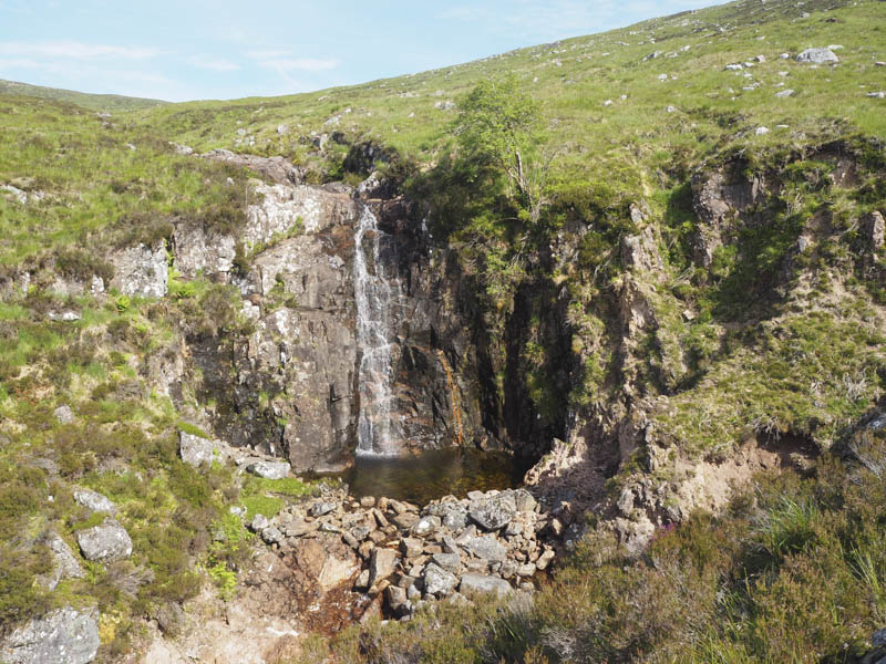
Beyond a junction of streams and a small waterfall I crossed the Allt a’ Bhalaich and commenced the ascent of Beinn a’ Chrulaiste.
![Waterfall, Allt a' Bhalaich](https://scotlandhills.net/wp-content/uploads/2020/07/03-Waterfall-Allt-a-Bhalaich.jpg)
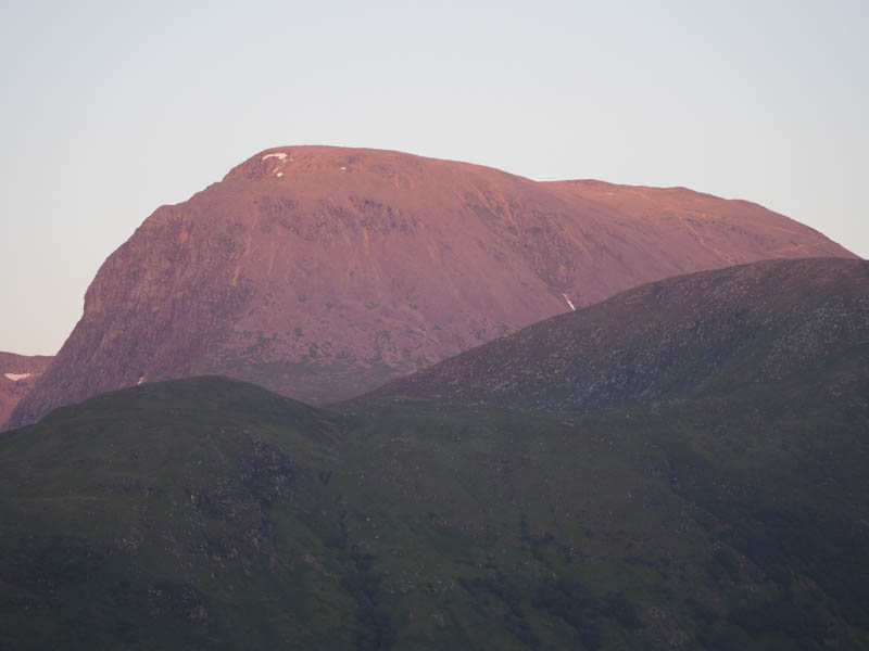
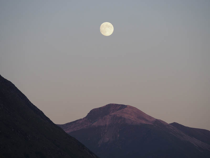
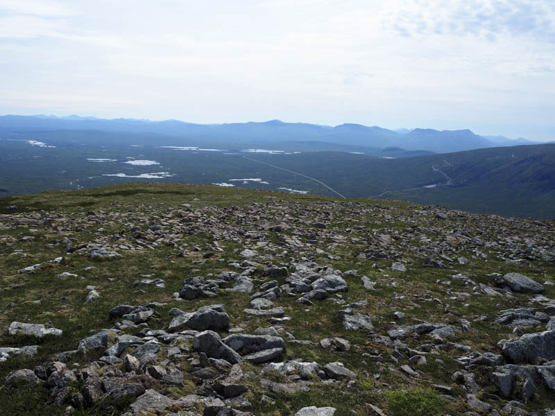
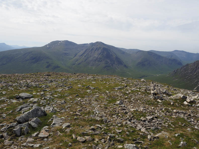
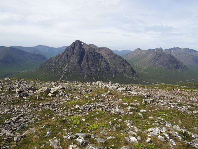
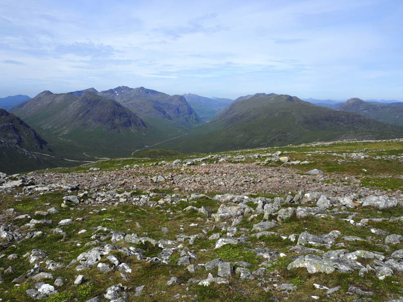
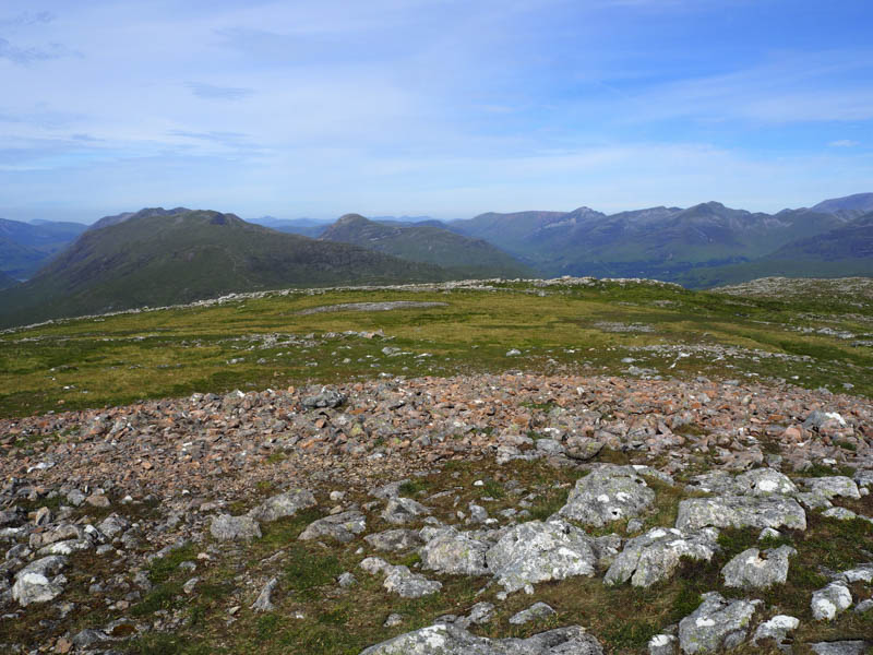
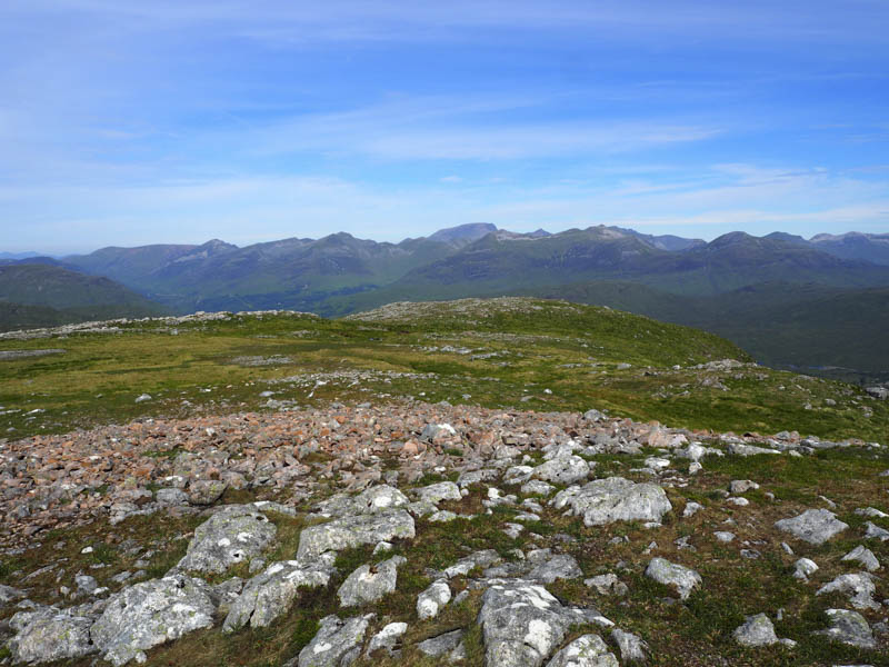
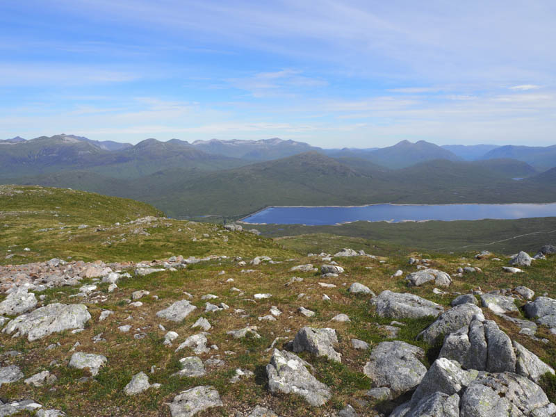
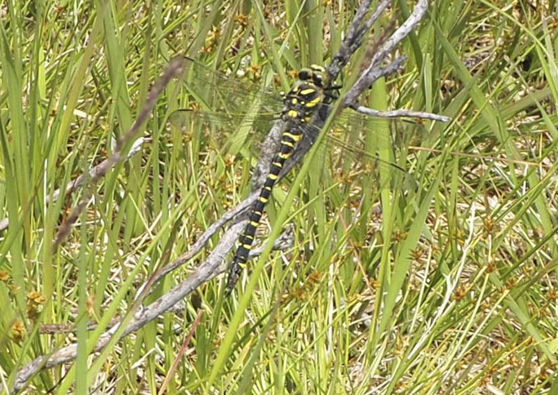
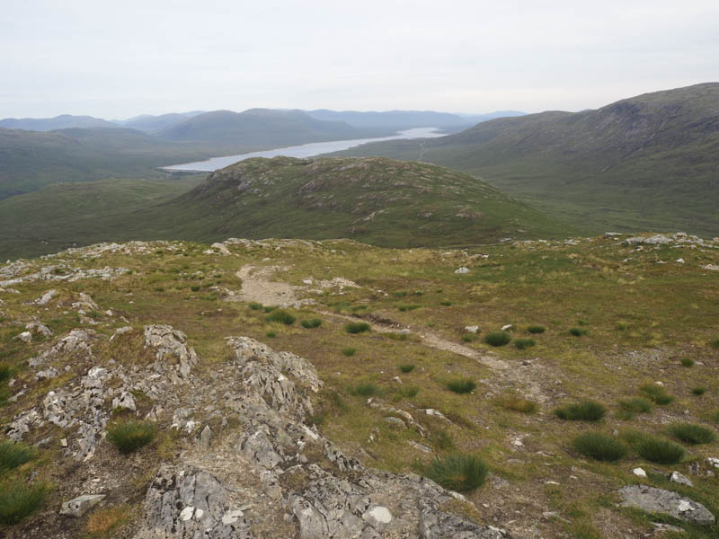
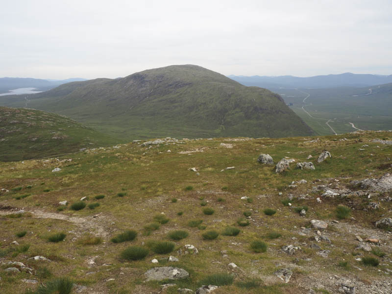
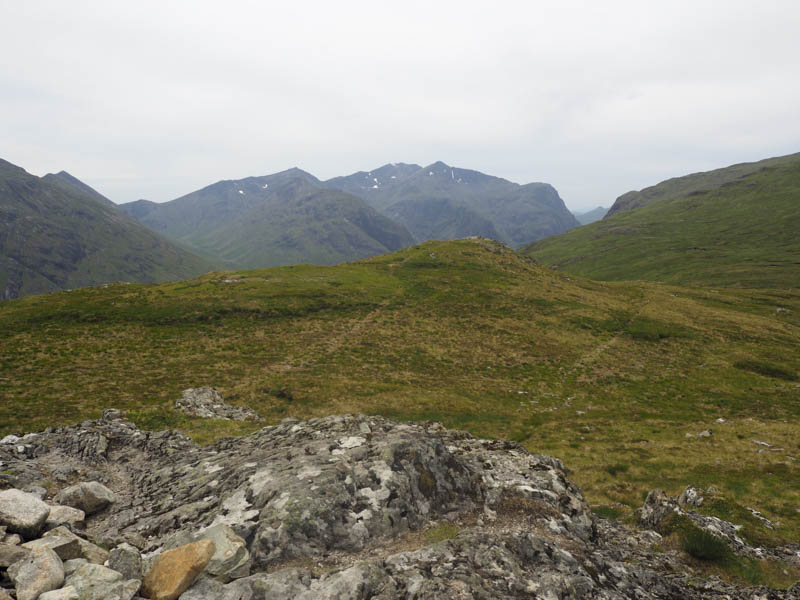
I worked my way through the rough vegetation avoiding several boulders to reach the summit of this Corbett marked by a trig point and cairn. Those who have climbed this hill in clear conditions will be aware of the fine views of Rannoch Moor and the mountains of Glen Coe. With just some high cloud I wasn’t disappointed.
![Rannoch Moor](https://scotlandhills.net/wp-content/uploads/2020/07/04-Rannoch-Moor.jpg)
![Meall a' Bhuiridh and Creise](https://scotlandhills.net/wp-content/uploads/2020/07/05-Meall-a-Bhuiridh-and-Creise.jpg)
![Buachaille Etive Mor and Buachaille Etive Beag](https://scotlandhills.net/wp-content/uploads/2020/07/06-Buachaille-Etive-Mor-and-Buachaille-Etive-Beag.jpg)
![Mountains and Pass of Glencoe](https://scotlandhills.net/wp-content/uploads/2020/07/07-Mountains-and-Pass-of-Glencoe.jpg)
![Aonach Eagach and Pap of Glencoe](https://scotlandhills.net/wp-content/uploads/2020/07/08-Aonach-Eagach-and-Pap-of-Glencoe.jpg)
![Mamores and Ben Nevis](https://scotlandhills.net/wp-content/uploads/2020/07/09-Mamores-and-Ben-Nevis.jpg)
![Blackwater Reservoir. Grey Corries beyond](https://scotlandhills.net/wp-content/uploads/2020/07/10-Blackwater-Reservoir.-Grey-Corries-beyond.jpg)
After an extended break here I descended south-east and found a path which disappeared at times and took me back to the Allt a’ Bhalaich. This time I stayed on its west side where a fairly dry ATV track led back to the road and my car.
![Dragonfly](https://scotlandhills.net/wp-content/uploads/2020/07/11-Dragonfly.jpg)
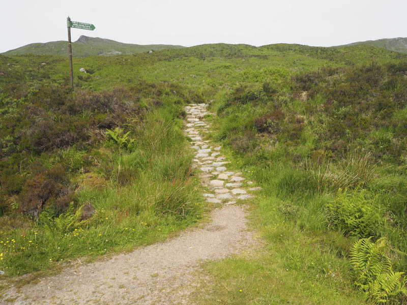
Beinn Bheag and Stob Mhic Mhartuin – I then drove the short distance west to Altnafeadh where I found space to leave my car amongst the numerous vehicles parked there. I walked up the path to the Devil’s Staircase, part of the West Highland Way, which was busy with walkers and a few mountain bikers carrying their bikes up the path.
![Altnafeadh and route to the Devil's Staircase](https://scotlandhills.net/wp-content/uploads/2020/07/12-Altnafeadh-and-route-to-the-Devils-Staircase.jpg)
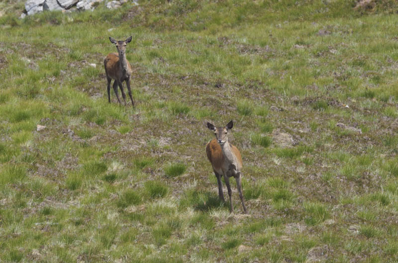
At the top of the Devil’s Staircase I left the West Highland Way and followed a path to the summit of the Graham Top, Beinn Bheag, where I took a break. There were a few barks and on looking round I spotted a couple of hinds. They didn’t run off but started to feed until a low flying jet scared them away.
![Deer](https://scotlandhills.net/wp-content/uploads/2020/07/13-Deer.jpg)
![Stob Mhic Mhartuin, A' Chailleach beyond](https://scotlandhills.net/wp-content/uploads/2020/07/14-Stob-Mhic-Mhartuin-A-Chailleach-beyond.jpg)
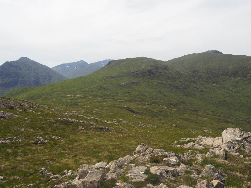
I returned to and crossed the West Highland Way, then ascended the Graham Top, Stob Mhic Mhartuin before returning to the Devil’s Staircase and Altnafeadh.
![Beinn Bheag and Blackwater Reservoir](https://scotlandhills.net/wp-content/uploads/2020/07/15-Beinn-Bheag-and-Blackwater-Reservoir.jpg)
![Beinn a' Chrulaiste from Stob Mhic Mhartuin](https://scotlandhills.net/wp-content/uploads/2020/07/16-Beinn-a-Chrulaiste-from-Stob-Mhic-Mhartuin.jpg)
![Stob Coire Sgreamhach and Bidean nam Bian](https://scotlandhills.net/wp-content/uploads/2020/07/17-Stob-Coire-Sgreamhach-and-Bidean-nam-Bian.jpg)
![View back to Altnafeadh](https://scotlandhills.net/wp-content/uploads/2020/07/18-View-back-to-Altnafeadh.jpg)
- Total time – 5.75 hours.
- Total distance – 13 kilometres.
- Total height climbed – 1105 metres.
![Sunset Ben Nevis zoomed from accommodation](https://scotlandhills.net/wp-content/uploads/2020/07/19-Sunset-Ben-Nevis-zoomed-from-accommodation.jpg)
![Moon above Sgurr a' Mhaim zoomed from accommodation](https://scotlandhills.net/wp-content/uploads/2020/07/20-Moon-above-Sgurr-a-Mhaim-zoomed-from-accommodation.jpg)