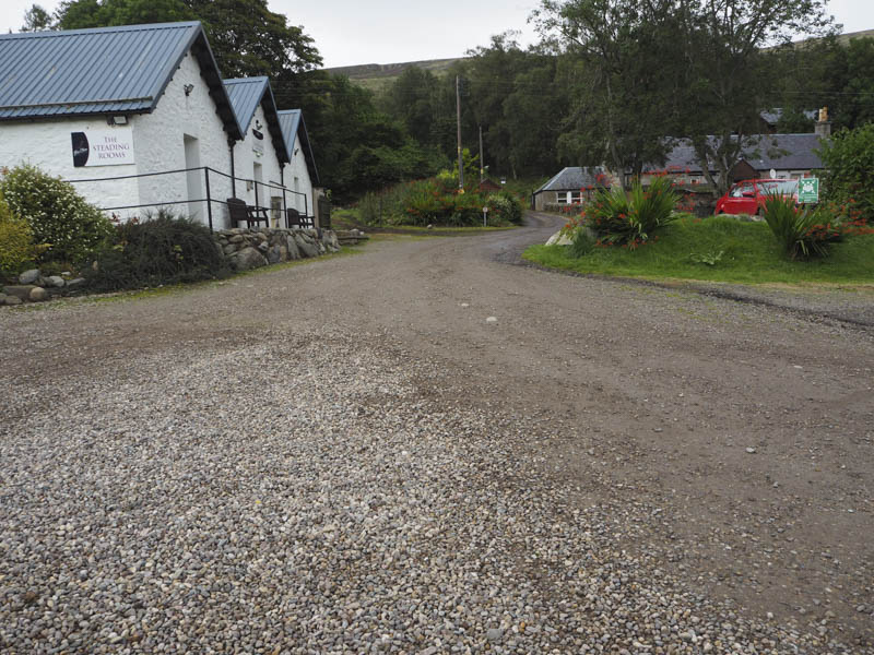
I left my vehicle in the car park in Glen Clova, south-west of the Clova Hotel, and walked east along the front of the hotel, through their car park, following the signs for Loch Brandy and Glen Esk.
The path was in reasonable condition and there were several other walkers making their ascent.
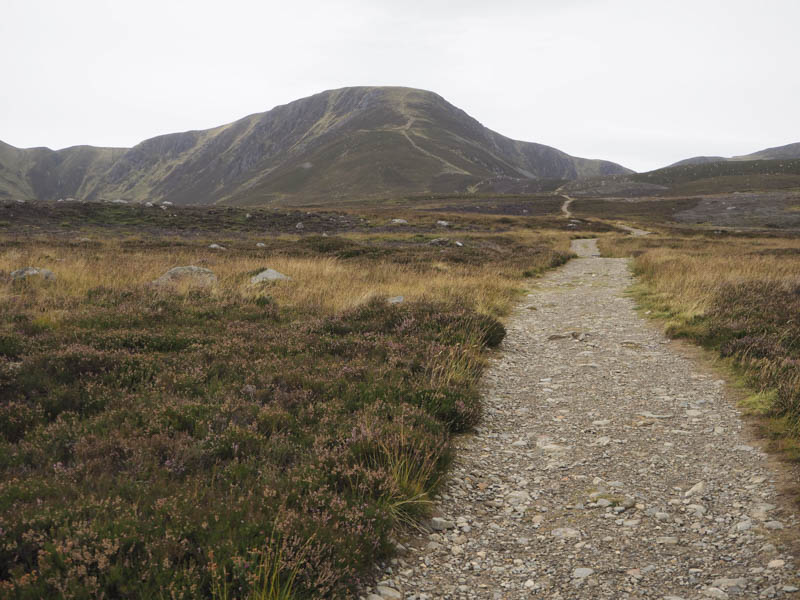
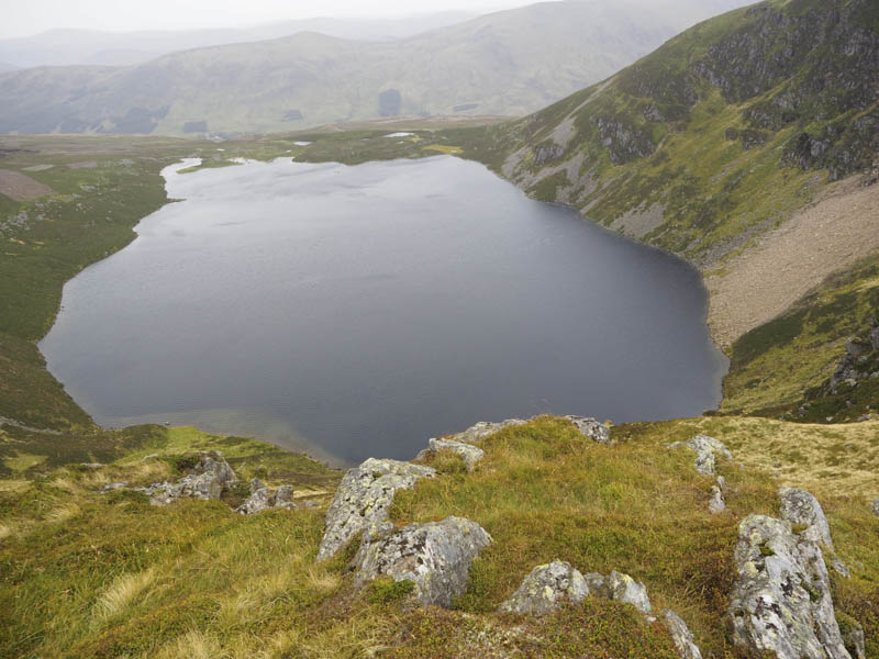
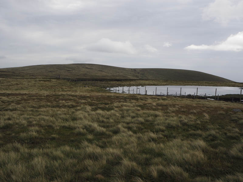
On approaching Loch Brandy a path created with rocks and like a set of stairs headed up the fairly steep south ridge of The Snub, a Corbett Top.
The summit cairn was reached and I also visited the highest point which was apparently ground 15 metres to the south.
It was rather windy and a bit chilly here so I headed off in a north-westerly direction to the col with Boustie Ley and climbed this Corbett Top, the summit being an embedded rock 20 metres north of the cairn.
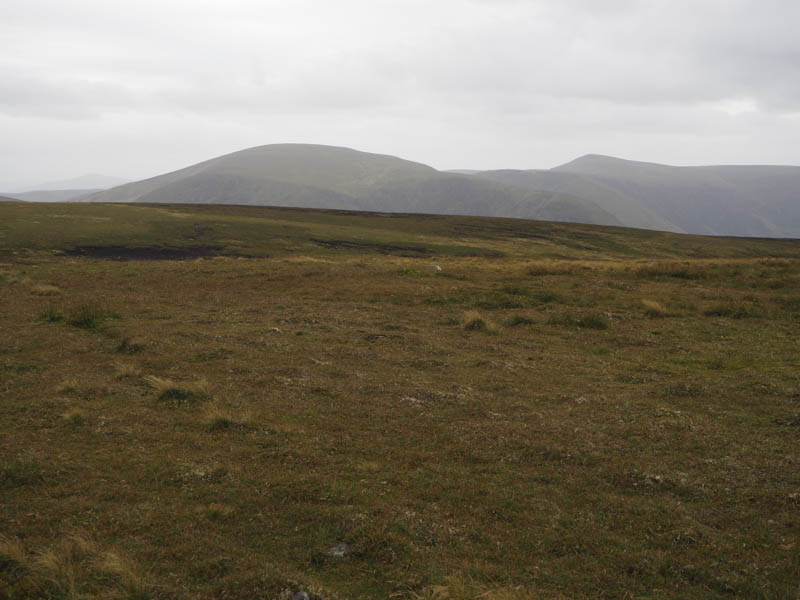
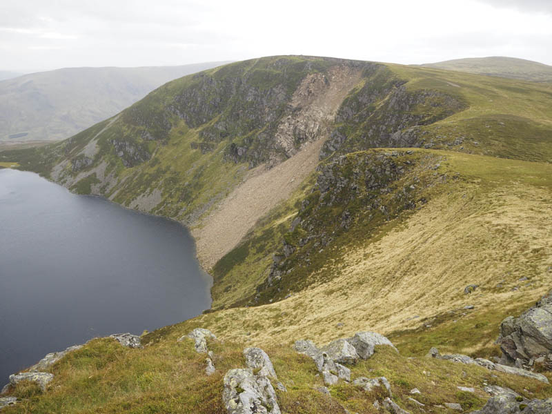
From there I descended north-west, with occasionally traces of an ATV track, to reach the col with Cathelle Houses where the peat hags were easily crossed. I then followed what appeared to be a path onto the high point of this Corbett Top, ground slightly south of two posts.
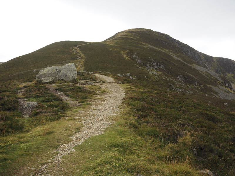
I returned to the col with Boustie Ley and traversed round its north side to the boggy and peaty col with Benty Roads. It was then an easy climb onto the summit cairn of this Corbett Top. From there I headed off in a south-easterly direction crossing some rough vegetation to reach the col between The Snub and Green Hill.
I then followed the path onto the summit of Green Hill and to the large rock near the cairn which marked the highest point of this Corbett Top.
It was then a descent south-east to a new deer fence where the gate was padlocked. At the side there was a stile consisting of wooden slats. There was also an electric fence but I couldn’t tell if it was live. Once over the stile the descent continued before I climbed through some rough ground, avoiding most of the peat hags, onto Craigs of Loch Wharral. Unfortunately I was forced to climb over a deer fence as the summit cairn of this uncategorised hill was on the other side.
I returned to the stile and walked below the summit of Green Hill before joining the path to the east of Loch Brandy. Lower down rather than continue round the south side of the loch I followed a vehicle track south later leaving it to cross a heathery gully to rejoin the path used earlier that day.
On leaving Glen Clova I stopped to climb the now deleted Tump, Gwesk Hillock, using a new vehicle track to its east. This led to a concrete base possibly for a communication tower and where the track came to an end so I entered the trees pushing aside branches to reach the summit area. The descent south was easier as the trees were better spaced before a fence was passed through to reach the Glen Road.
- Time taken – 6 hours
- Distance – 16.5 kilometres.
- Height climbed – 900 metres.