Glen Clova in Angus was the starting point for this walk leaving my vehicle in the car park on the west side of the bridge over the River South Esk and the Clova Hotel. I walked south along the B955, passed through an open gate and crossed a grassy field to reach a new deer fence and gate.
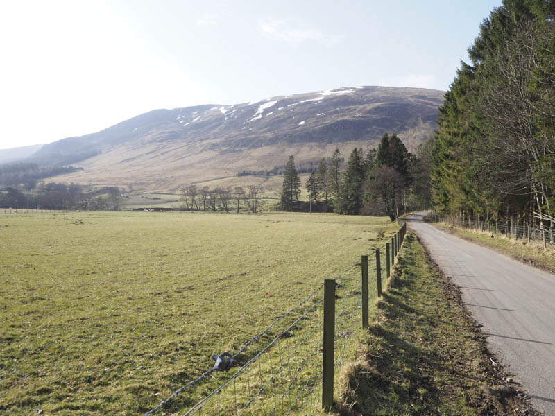
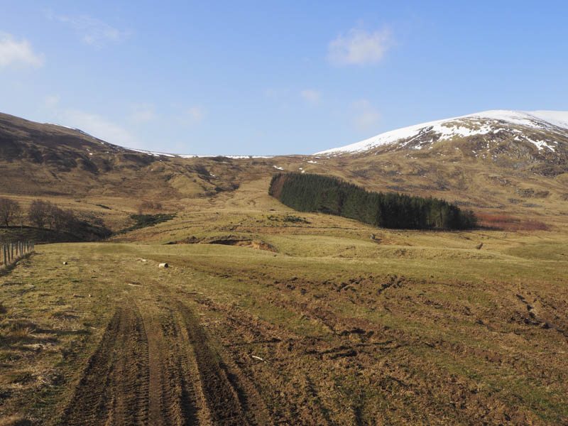
Beyond this point a wet vehicle track led up the east side of a copse of trees to a gate. Here I left the track, climbed up the side of a stone dyke and fence, went through some wet and tussocky ground, to the col between Cairn Inks and Cairn of Barns.
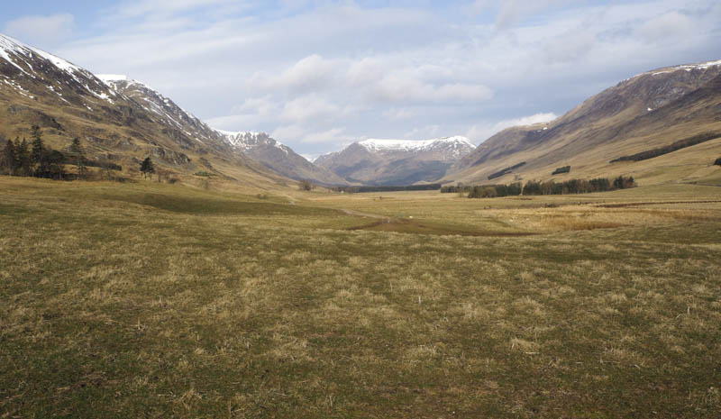
I crossed a stock fence then headed south-west to a deer fence and the col between Cairn Inks and Mount Bouie (uncategorised) before climbing to the summit of the later where the highest point was either beside the deer fence or a nearby heathery knoll.
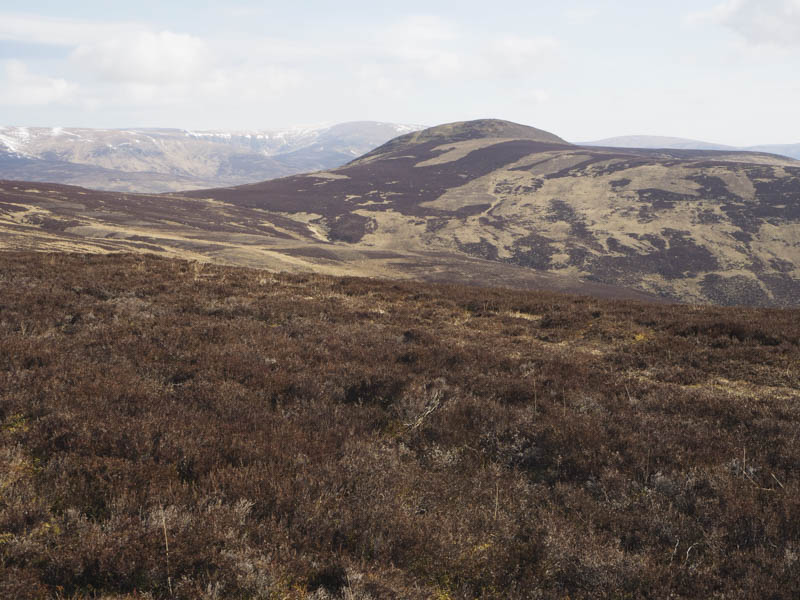
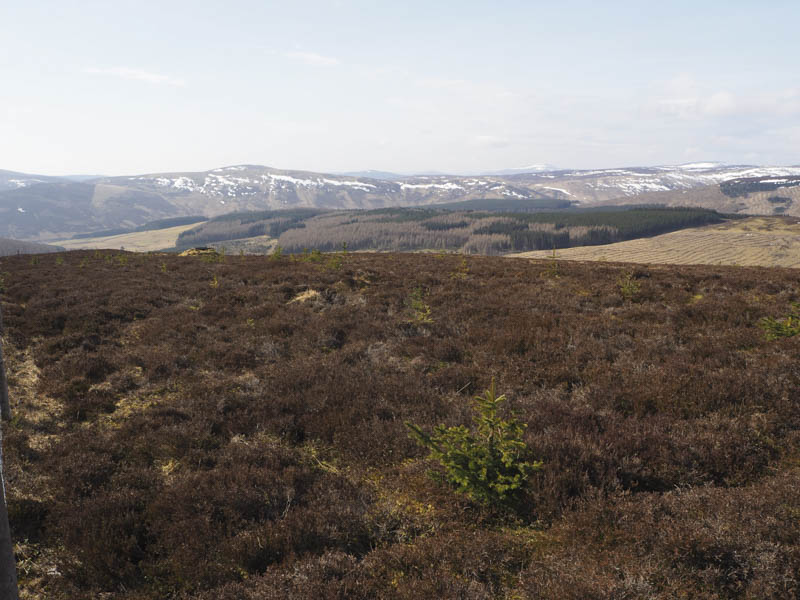
On returning to the col between Cairn Inks and Cairn of Barns I ascended the later, a Graham Top, where there was a cairn although a couple of nearby rocks may have been higher.
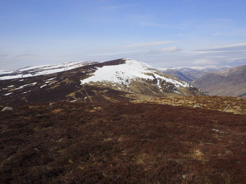
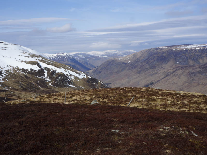
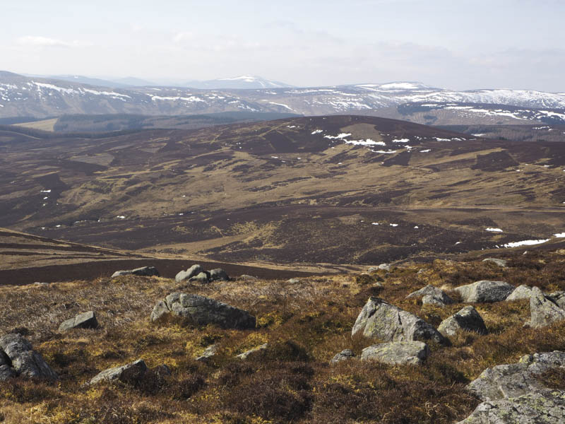
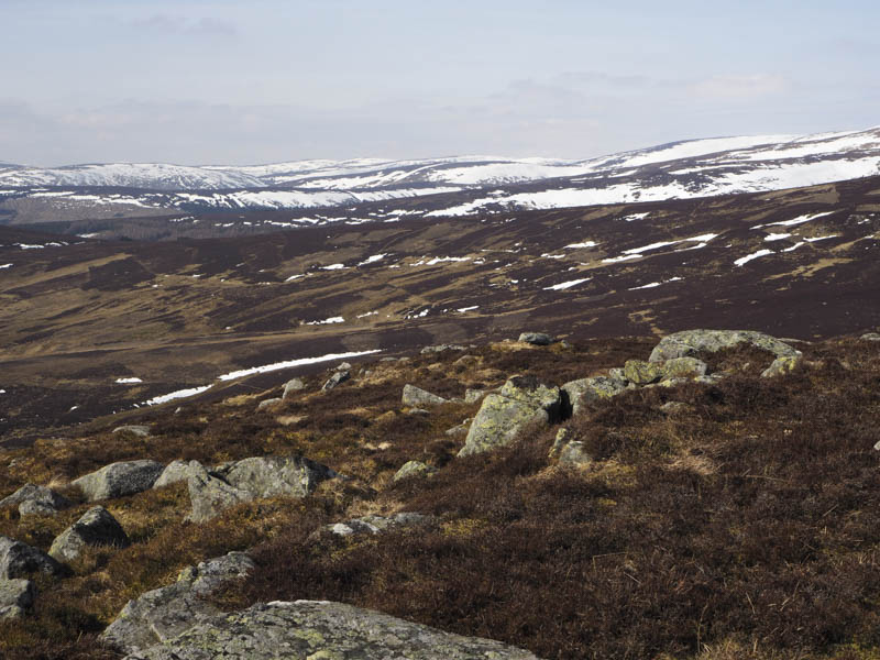
I thereafter descended east then south-east to the rather wet col with Coremachy and ascended this Tump, the high point marked by a cairn.
I returned to the col with Cairn of Barns then followed a deer fence before descending north to the gate in the deer fence used on the ascent route then it was back to the car park.
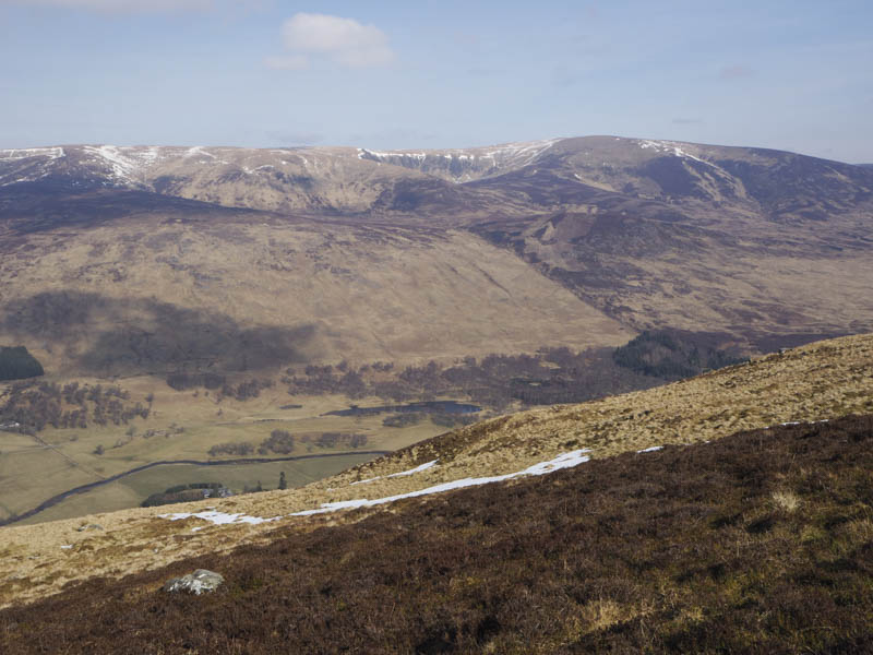
- Time taken – 4.75 hours.
- Distance – 10.5 kilometres.
- Height climbed – 630 metres.