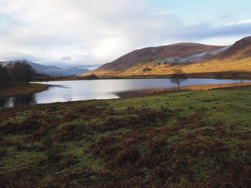
I left my car on the verge in Glen Cannich near the east end of Loch Corrie and from there climbed north through rough vegetation, crossing the Allt Charaidh, and coming to a quad vehicle track which I used to gain a bit more height.
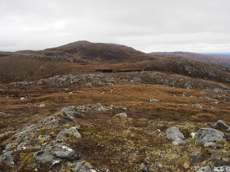
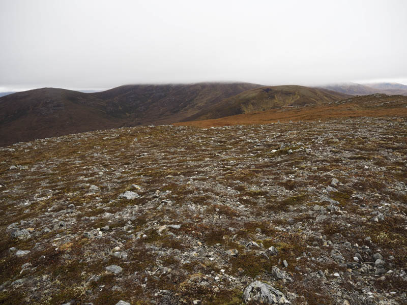
When this track disappeared deer paths were followed to the col between Sgorr na Diollaid Far West Top and An Soutar. I then ascended Sgorr na Diollaid Far West Top crossing more rough ground, avoiding the rocks where possible, to reach its summit.
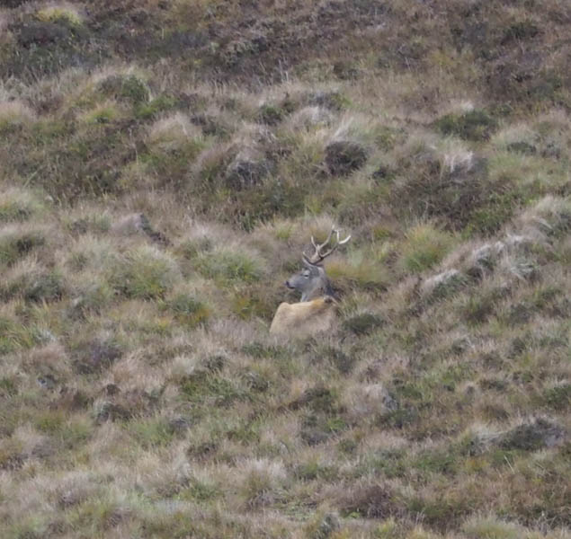
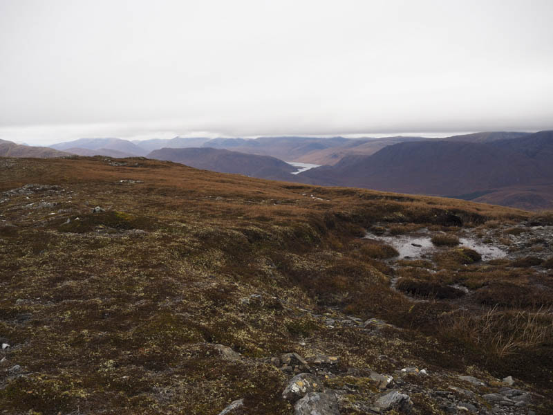
After a break sheltering from the wind and watching the deer on the slopes to the north-west I returned to the col and ascended An Soutar. From this Graham Top I descended to the Bealach a’ Bhaca and climbed the Graham Top, Meallan Odhar, while listening to the roaring of the stags.
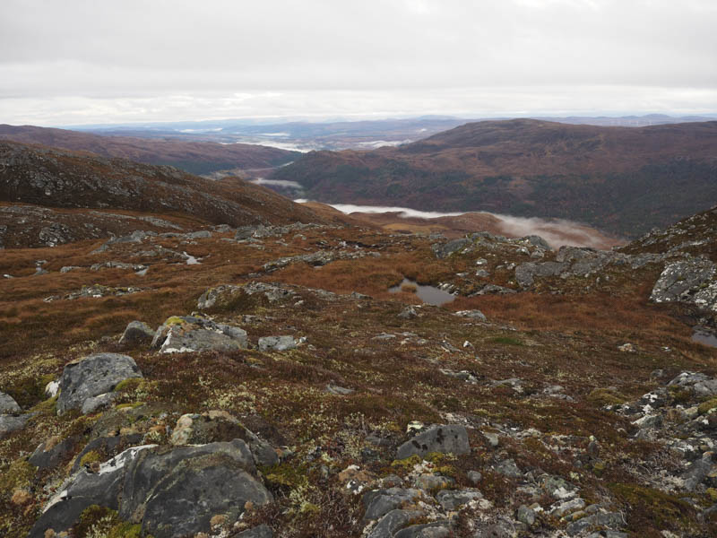
I had made reasonable progress so decided to continue out to the Sub Simm, Druim Dubh an Fhuarain. This involved descending to the Bealach an Fhuarain then a short climb followed by a fairly lengthy stretch of easy walking to reach the unmarked summit.
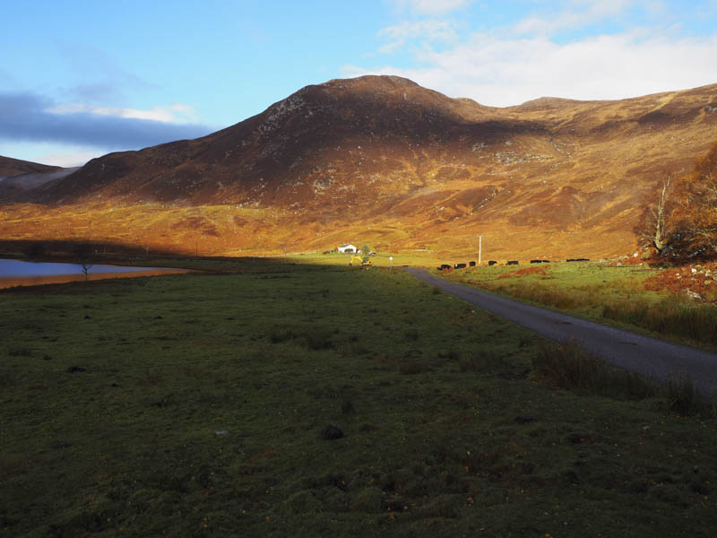
Light rain started to fall as I headed off in a south-easterly direction and on emerging from the cloud I disturbed some deer. I descended to the Liatre Burn where there was a mini hydro dam and a vehicle track which I initially used but it later headed away from my starting point. I therefore left the track and followed the edge of the deer fence. Lower down a rather muddy deer path led back to the road where there were a couple of stags. It was then a stroll along the road, passing some cattle, to get back to my car.
- Time taken – 6 hours.
- Distance – 13.5 kilometres.
- Height climbed – 905 metres.