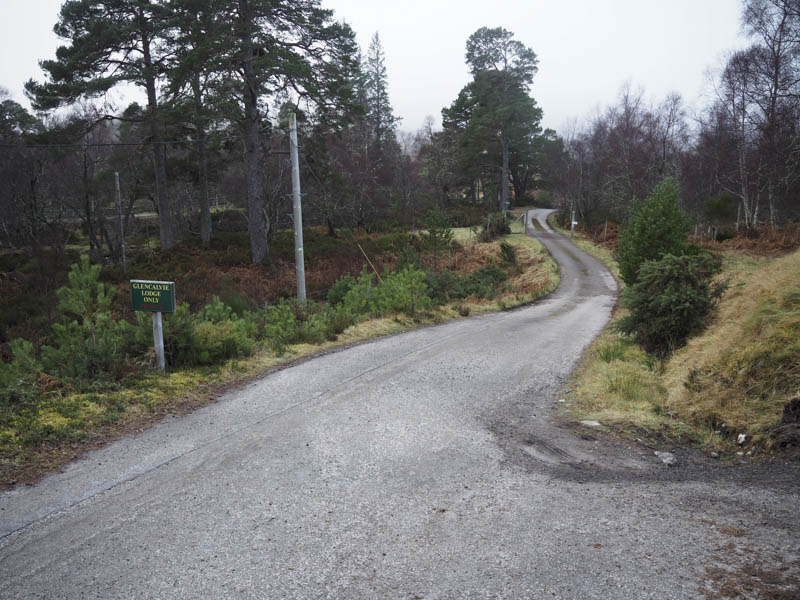
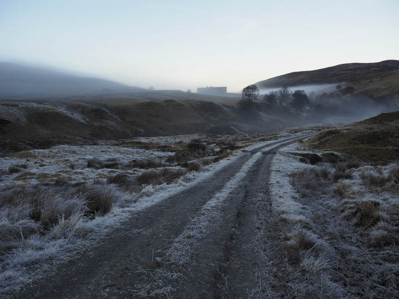
The drive west along Strathcarron from the A836 at Ardgay was in low cloud with the temperature just above freezing. On reaching the parking area at the end of the public road above Glencalvie Lodge the mist was beginning to dissipate.
Once geared up I set off on my bike passed the Lodge then south along an estate track which was in fairly good condition.
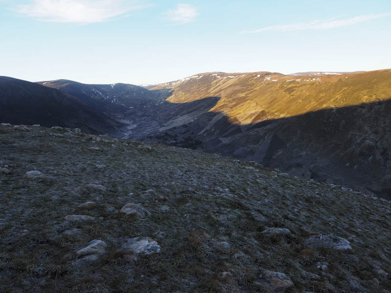
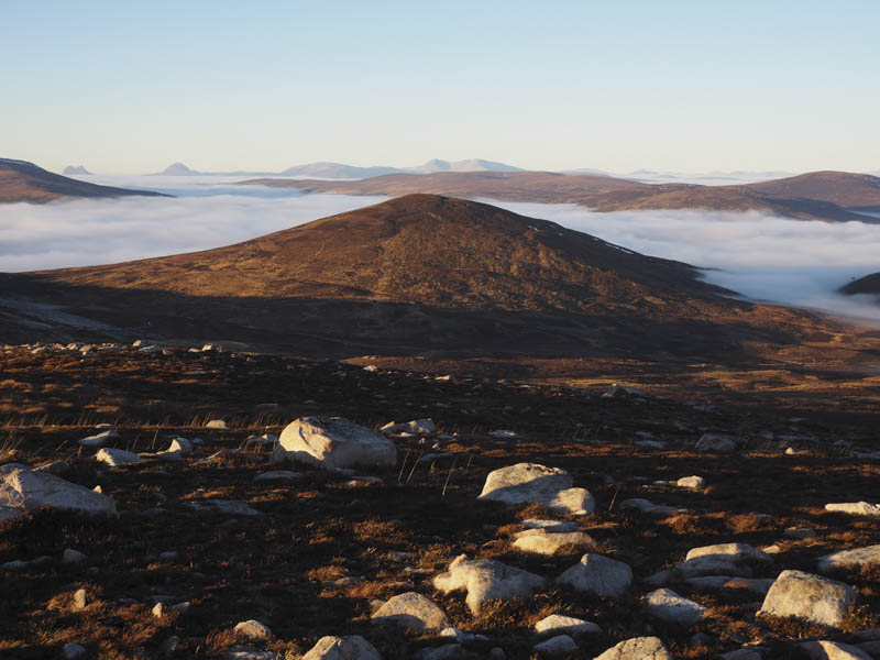
As I emerged from the low cloud the sky was a clear blue, the ground frosted over and I had views of the Corbett, Carn Chuinneag.
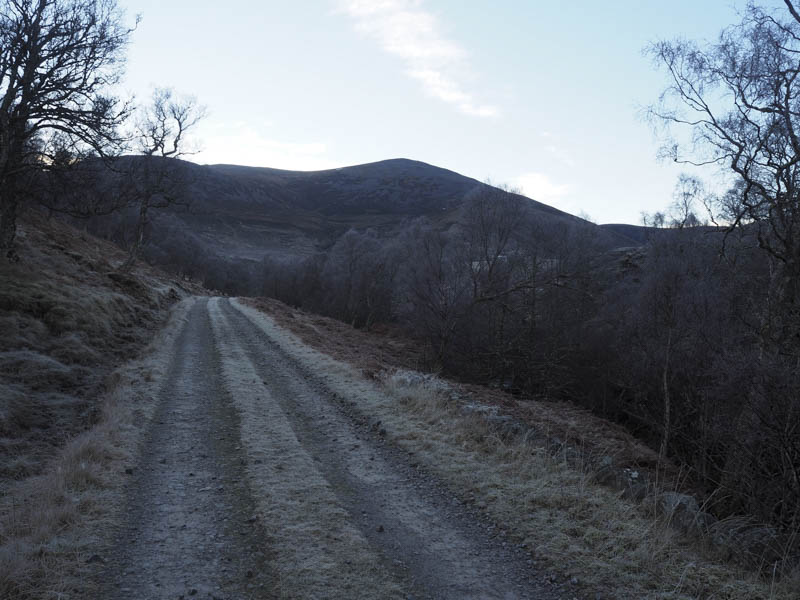
After around thirty minutes of cycling I reached Diebidale Lodge and beyond it as the gradient increased I dumped the bike.
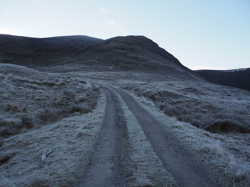
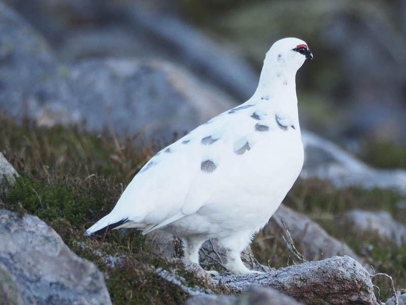
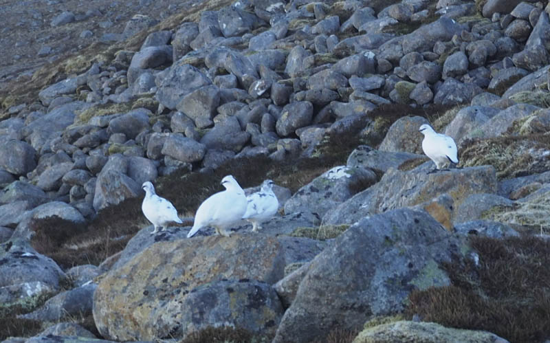
I walked along the estate track to the foot of the North Ridge of Carn Chuinneag West Top to the stalker’s path which was initially a bit icy. There were good views back down Glen Calvie and with no snow cover the ptarmigan were rather obvious in their winter coats.
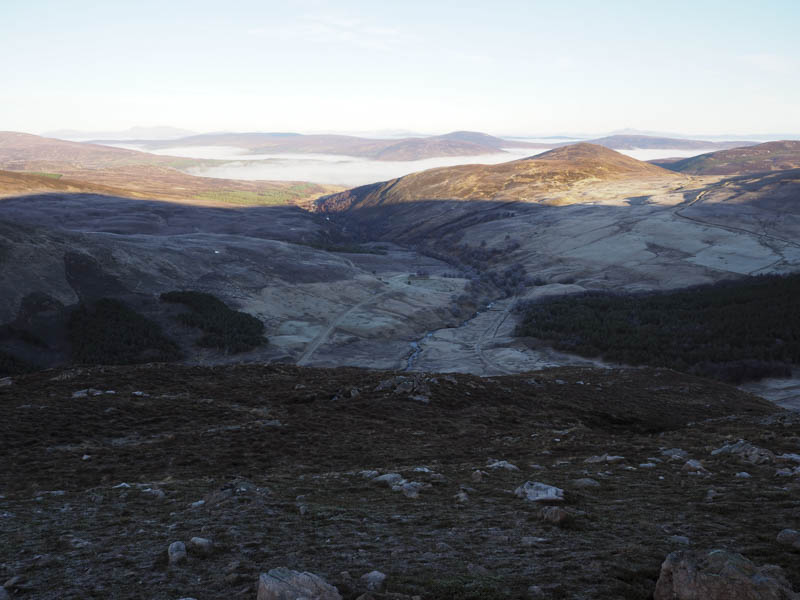
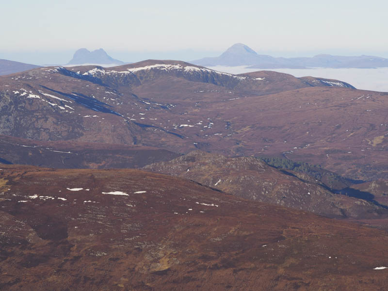
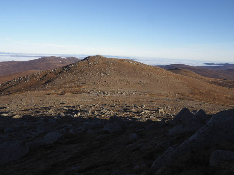
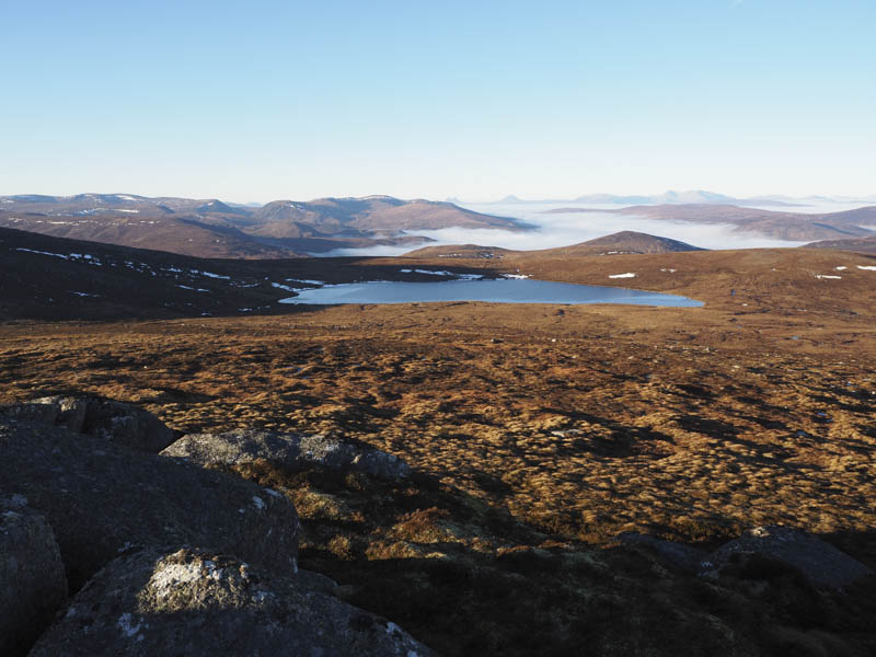
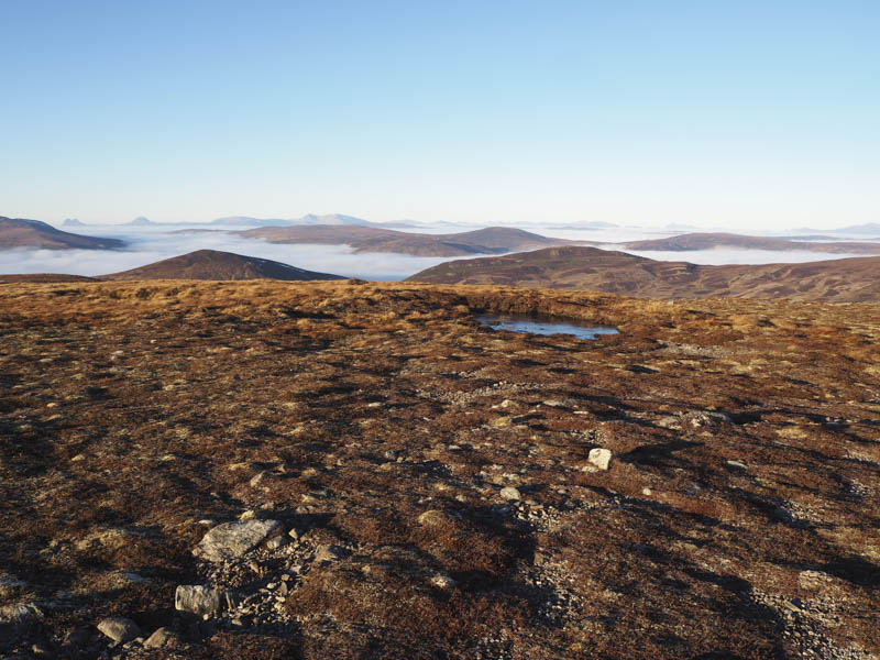
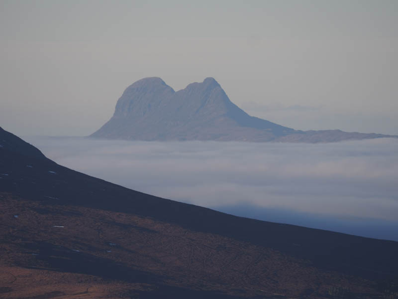
At a junction of paths I took a left and walked round the north face of the West Top to beyond the boulders where I left the path and climbed into the sun, having been in its shade since it rose. On reaching the summit of the West Top there were views of The Deargs and across Alladale Estate to the Assynt Hills.
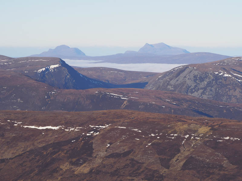
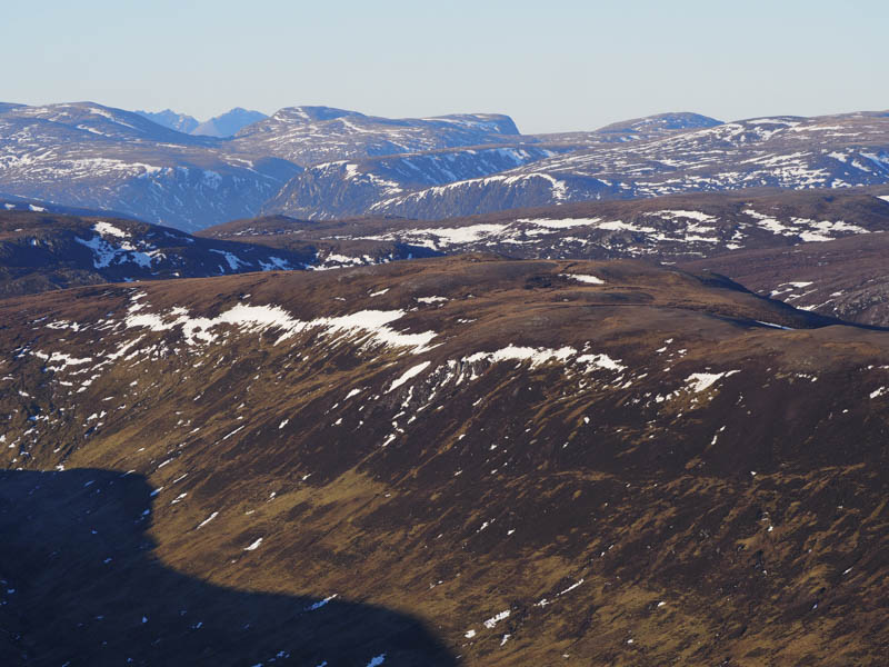
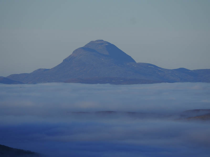
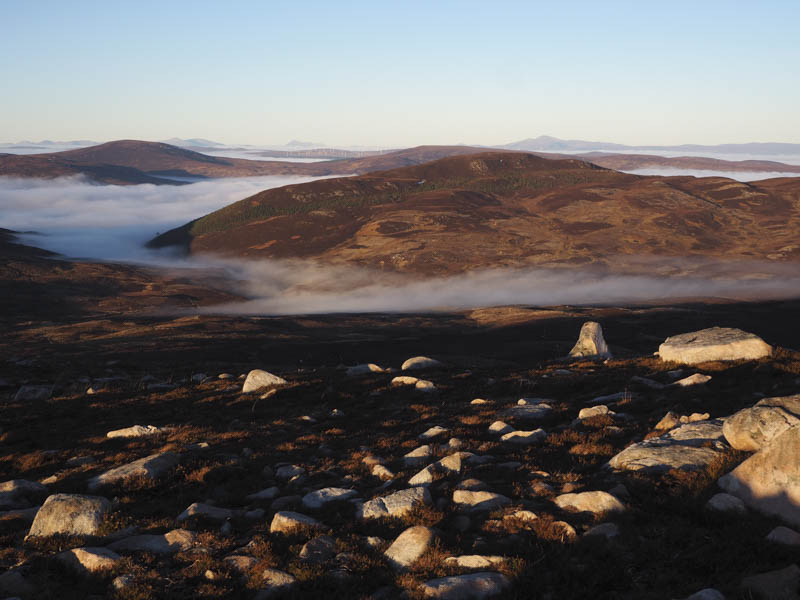
From the West Top I descended north-east to the col with Carn Chuinneag then made the short climb to its summit cairn and trig point. The views now included the Far North Hills.
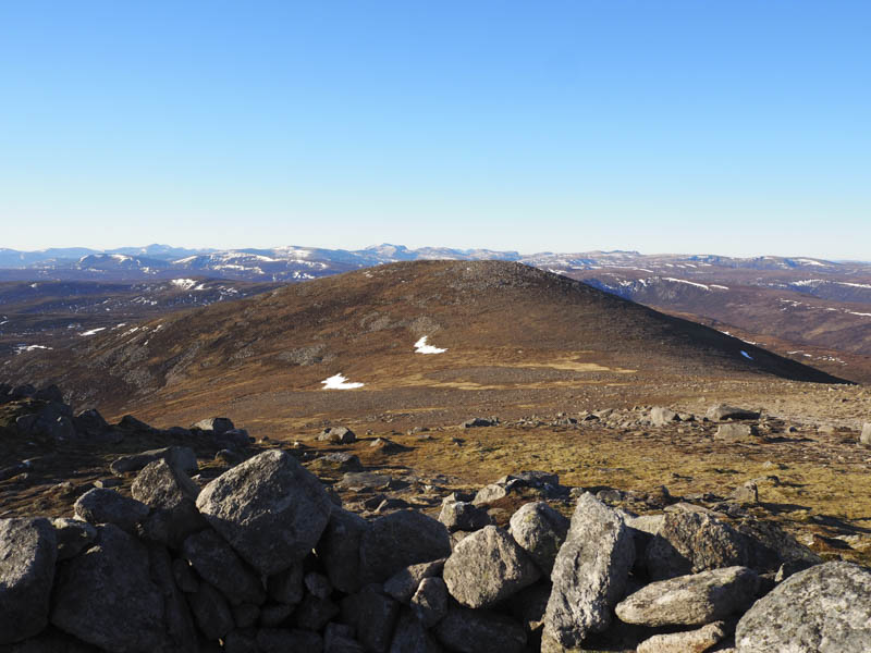
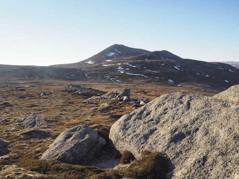
With the weather remaining sunny I decided to take in some of the areas minor tops so I left the Corbett and descended quite steeply north-east before making the short and easy ascent of the Graham Top, Carn Maire.
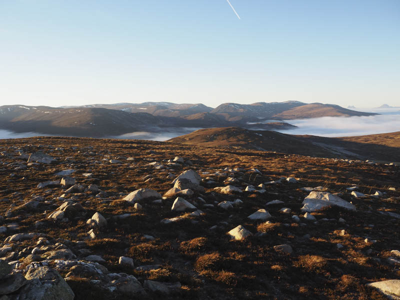
I then returned towards the col with Carn Chuinneag before losing more height as I walked south-east through some rough vegetation disturbing a couple of deer. It was then another easy climb to the summit of the Graham Top, Creachan an Fhiodha where there was a cairn but it didn’t appear to be the highest point.
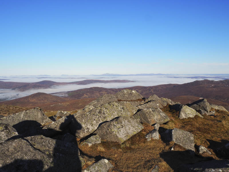
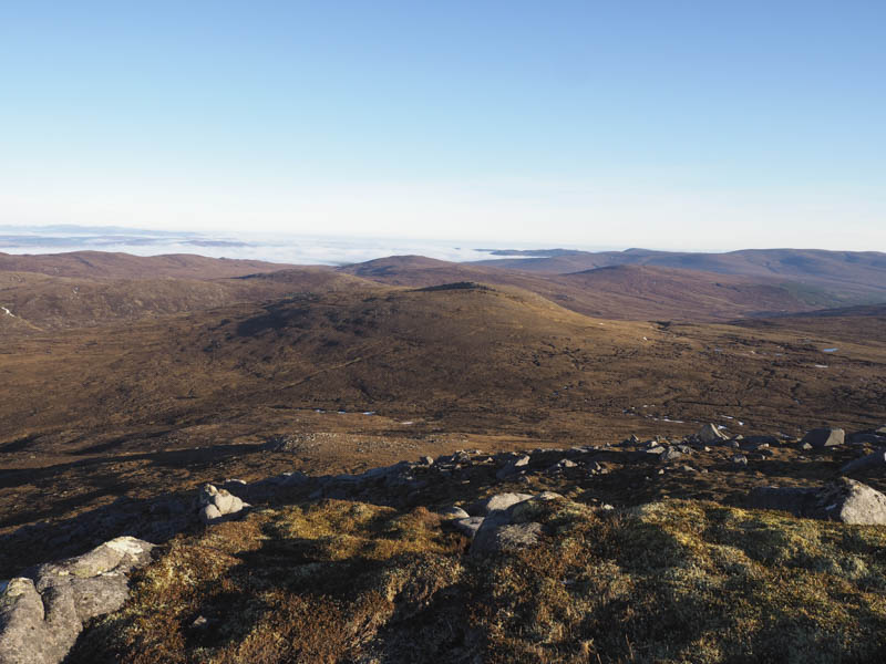
After visiting a few high points I descended north-east to the wet and boggy col with Carn an Lochan. Here I met a sole walker, the only person I saw all day, who was en-route to Carn Chuinneag having cycled in from Strath Rusdale. After a few minutes chat I ascended the Graham Top, Carn an Lochan, the highest point marked by a few stones on top of a large boulder.
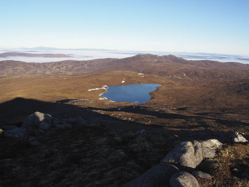
I took a break here then descended north through rough vegetation then lower down wet and boggy ground to reach the outflow from Loch Chuinneag which was easily crossed. I then went over the summit of the Tump, Carn na Gobhlaig-beithe, crossed the estate track and climbed the Tump, Carn Dubh.
Thereafter I descended back to the estate track and used it to return to my bike followed by an easy cycle down Glen Calvie back to my car.
- Time taken – 6.75 hours.
- Distance – 23.25 kilometres
- Height climbed – 1035 metres.