The starting point for this walk was the old bridge over the Brerachan Water at the north side of the A924 Kirkmichael to Pitlochry Road in Gleb Brerachan. I left my car on some hardcore on the south side of this road west of the bridge.
Once over the bridge I went through a stock gate into a field looking for a vehicle track shown on my map but it wasn’t obvious although there were a few tyre marks on the grass. I passed to the west of the derelict house at Stronhavie and after gaining a bit more height located the vehicle track which was followed west then north to the east of the Balgholan Burn.
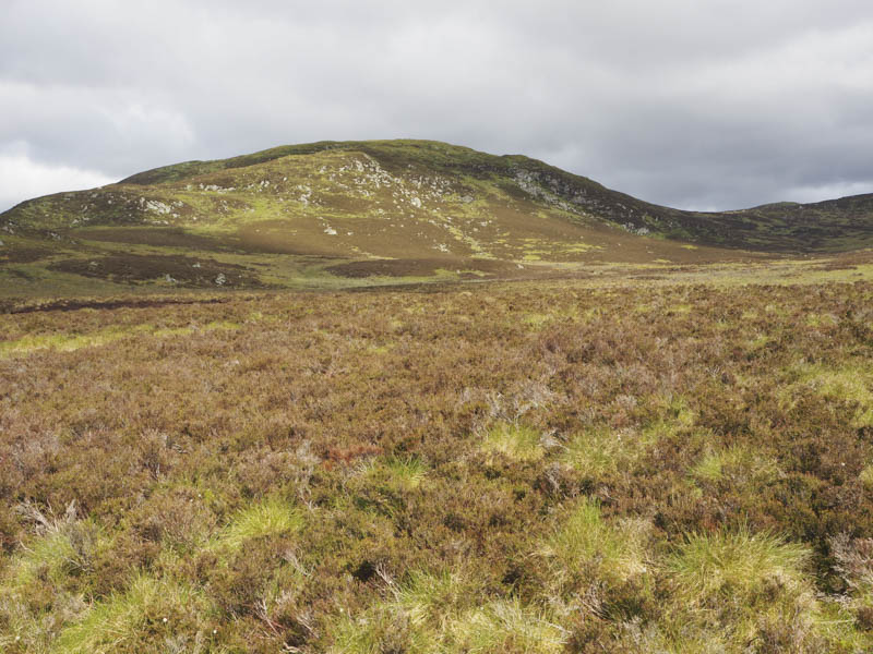
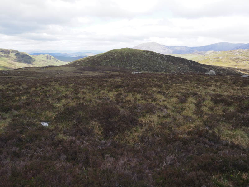
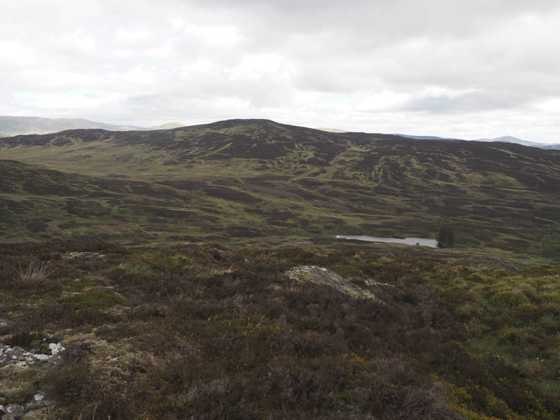
The track became less obvious and appeared to be heading north-east towards the col north of Stronhavie Craig, the wrong direction for my planned route. Instead I went north-west across some wet and boggy ground, crossing the Balgholan Burn, to reach the col south of Crungie Dubh. I then ascended this Tump, the highest point being some grass. Here I took a break sheltering behind a boulder from the cold wind.
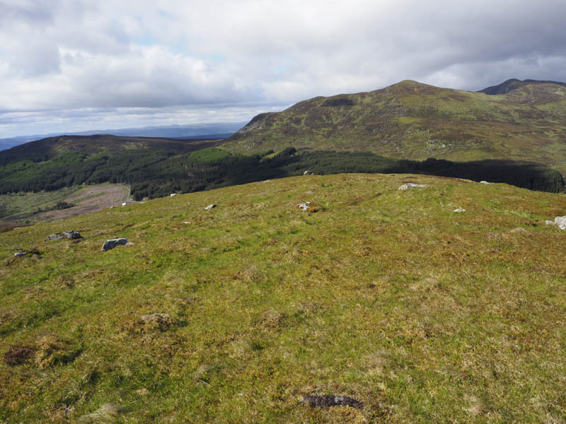
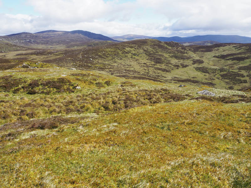
The next hill, Gurlet, was to the north-east of the Balgholan Burn but instead of making a direct approach and to save losing too much height I headed off in a north-westerly direction gradually turning south-west and ascended this Tump, its highest point being an outcrop near the cairn.
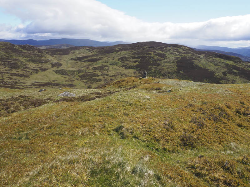
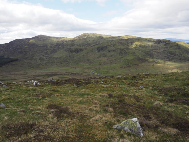
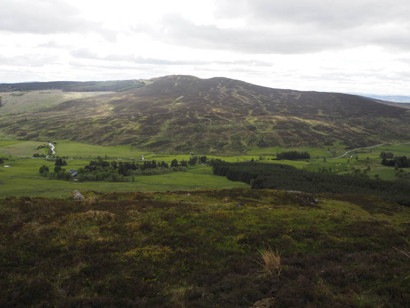
I descended north then north-west through rough ground, boggy in places, before climbing the Sub Simm, Gurlet North Top, its summit marked by a large boulder.
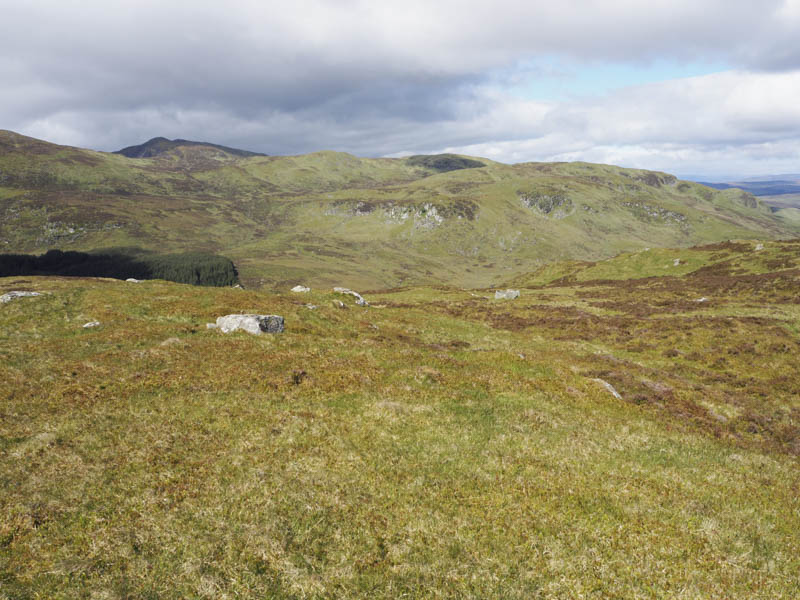
The continuation of this walk was a descent north-west which took me through more rough vegetation to below Crungie Clach then I climbed this Graham Top, the highest point being a boulder.
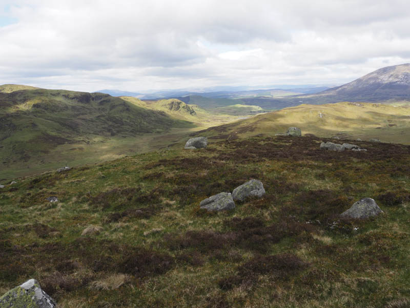
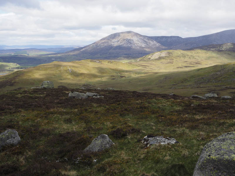
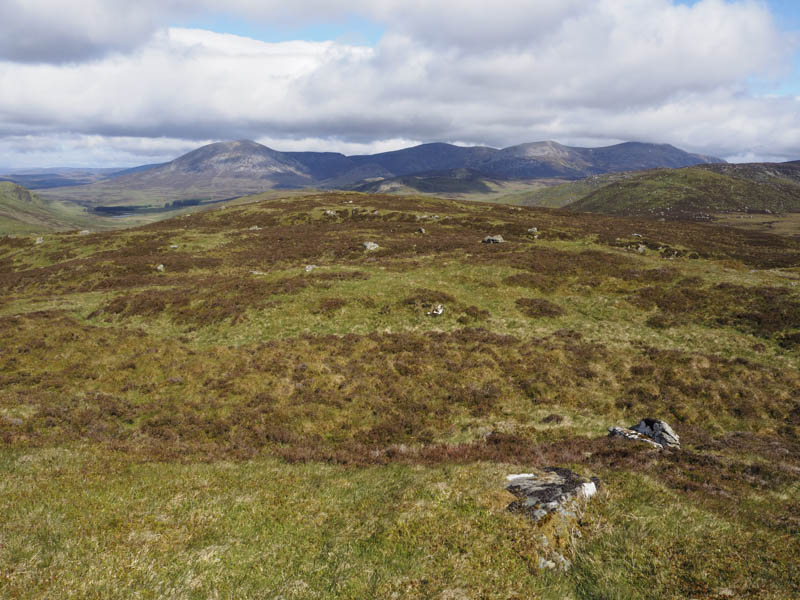
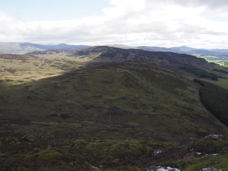
I departed this hill via its east ridge where there were occasionally traces of a path, sheep or deer, to reach the vehicle track on the west side of Clunskea Burn. It wasn’t in great condition but improved slightly the further south I walked. Opposite the col south of Leathad Beag I crossed the burn and at times using sheep trails, ascended the Tump, Ben Skievie, the summit marked by a flat rock next to the cairn.
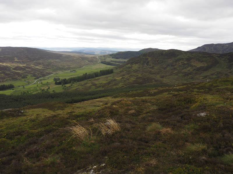
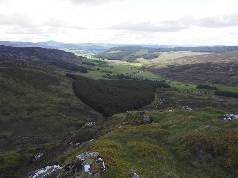
That was the final hill of the day so I descended south-east to the edge of the forest, re-crossed the Clunskea Burn, and followed the vehicle track back to the A924 a short distance east of my car.
- Time taken – 4.25 hours.
- Distance – 10.75 kilometres.
- Height climbed – 550 metres.