The plan was to climb a few hills to the east of Loch Ness from the end of a single track road at Ardochy, south of Whitebridge, and accessed off the B862 Fort Augustus Road. There was no obvious parking spot here unless I asked the occupiers which wasn’t appropriate early on a Sunday morning. I therefore drove back along the road for around 500 metres and left my car on the grass verge on the east side of the road.
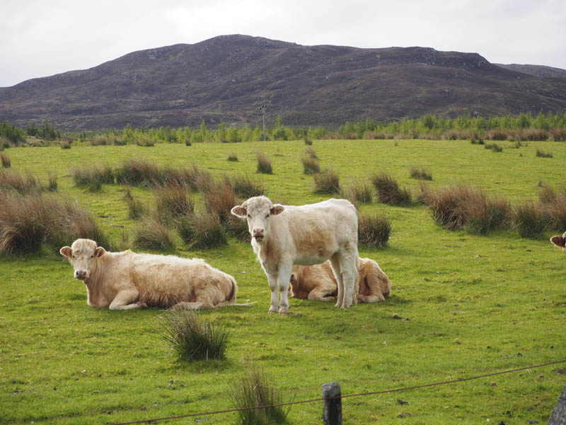
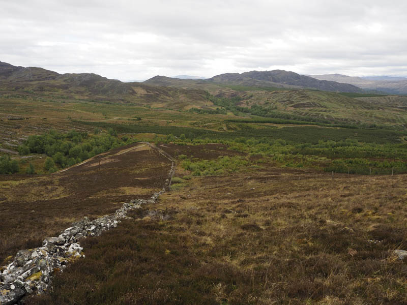
I walked back to and passed the property at Ardochy then through a gate in the deer fence which enclosed a young woodland. A vehicle track, in reasonable condition, ran south-south-east through the woodland to another gate in the deer fence. Immediately prior to it a vehicle track headed east so I followed the track but it soon came to an end. Beyond strips of heather had been cut and after walking along a couple of them it was into uncut heather and to the corner of the deer fence which I climbed over. Progress east was now a bit easier through more heather and some grass following an old stone dyke and avoiding the crags.
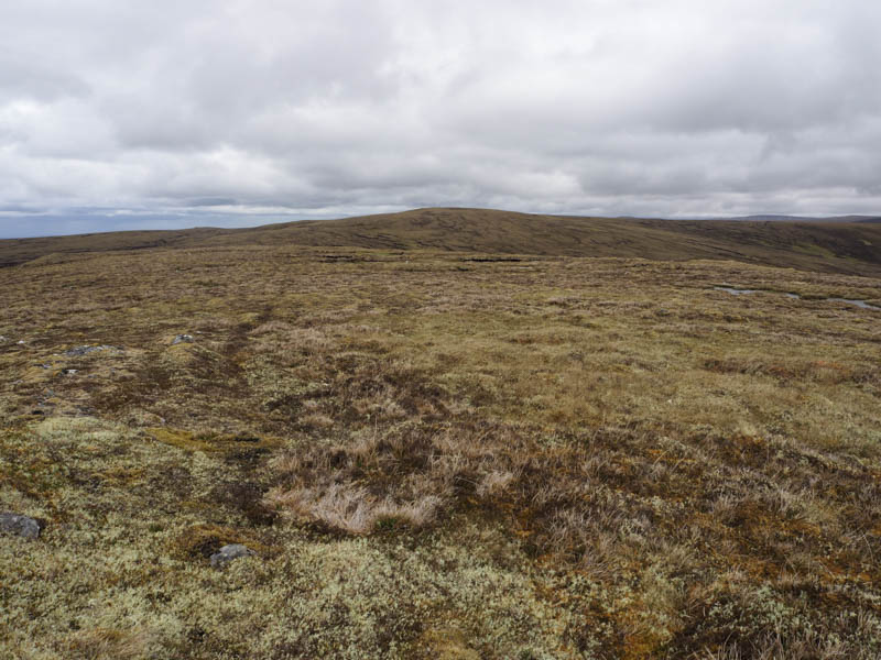
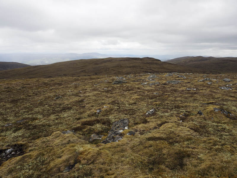
The summit of the Hump, Beinn Mheadhoin, was reached, the highest point being a rock beside the cairn.
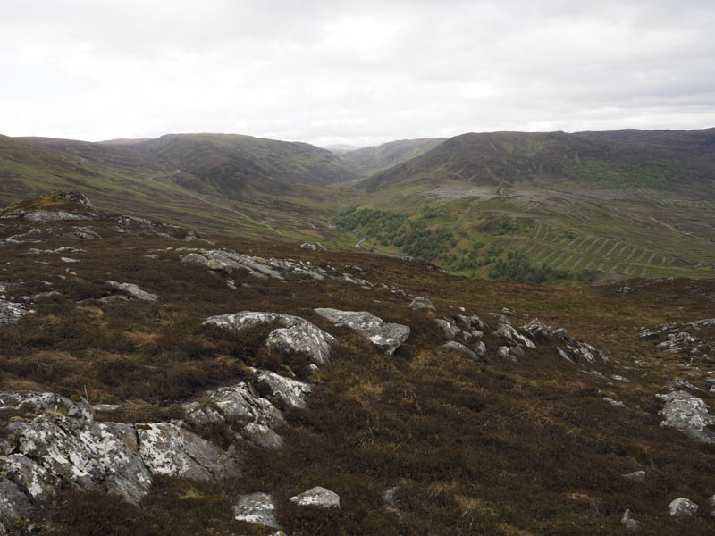
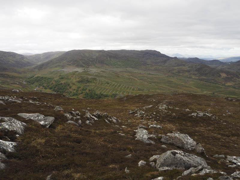
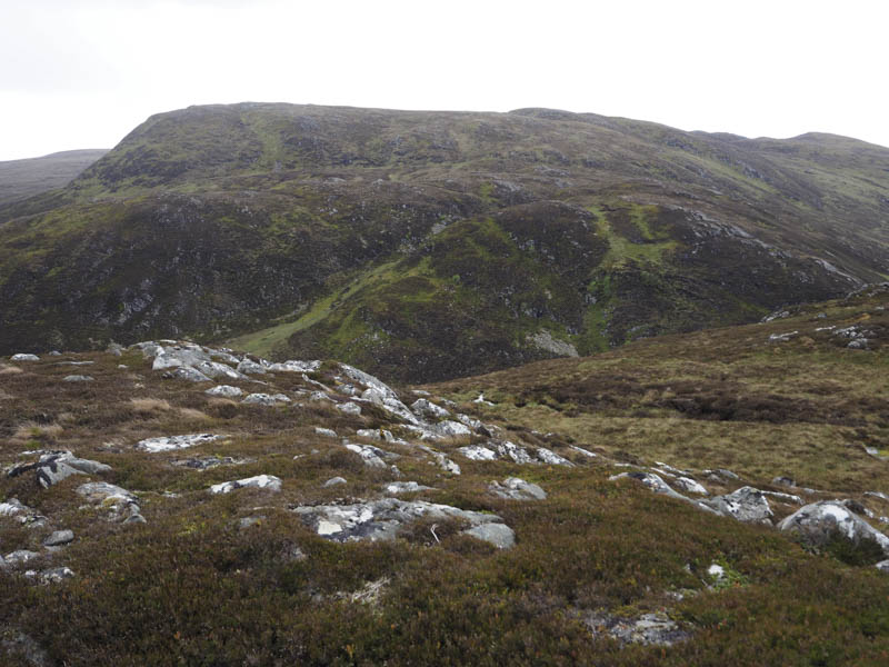
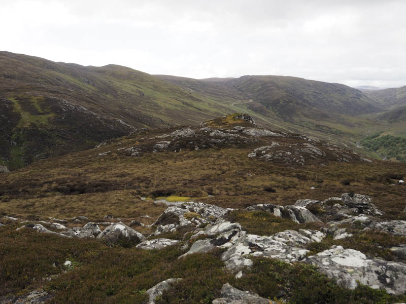
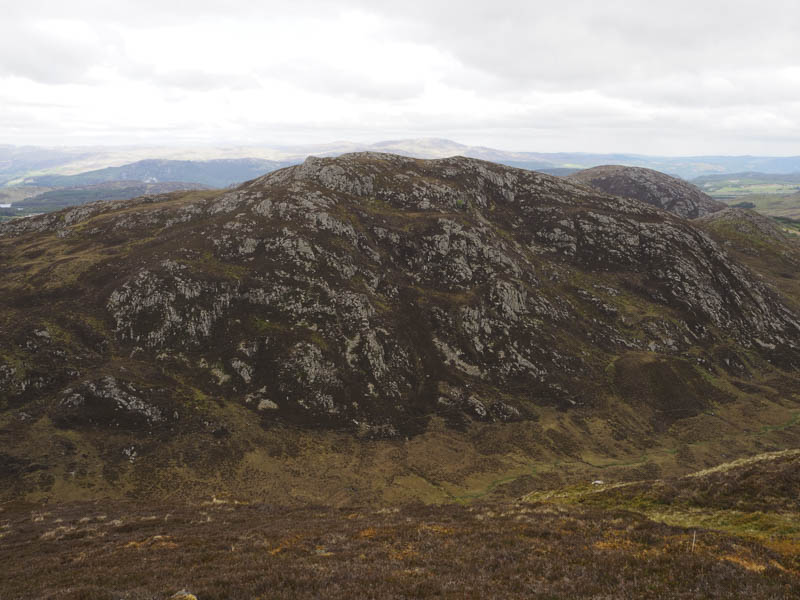
There was a cold wind blowing so I found shelter behind a rock, there were several to choose from, for a coffee break before descending fairly steeply at times south-west through some long heather and boulders, avoiding more crags. Here I encountered the first of several short lived showers that day. Wet and boggy ground at the top of Glac an Loin was crossed then I climbed east onto Creag an Loin. It was a fairly steady climb before I turned south-east where there was a brief respite before more of the same as I headed up Meall nan Aighean Beag. The summit of this Graham Top was gained although I couldn’t tell where the actual highest point was.
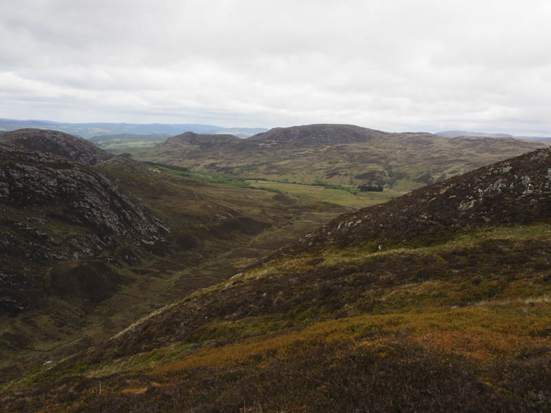
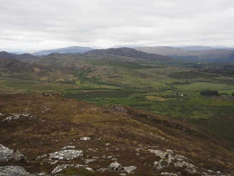
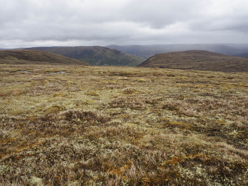
I descended south to the 728 knoll north of Coire Dubh then walked south-east towards Carn Dubh.
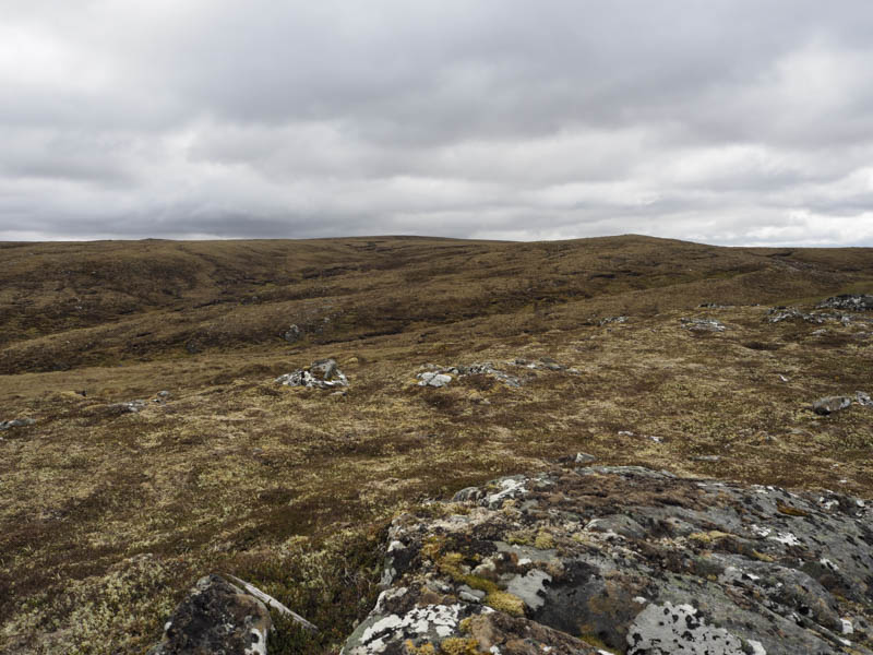
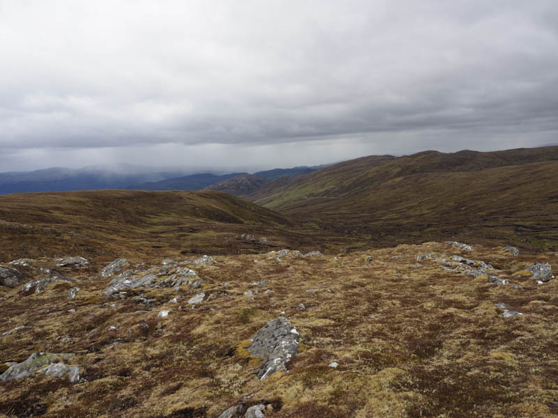
The underfoot conditions were a mixture of bog, waterlogged ground, peat hags, heather and tussocks. These conditions were the norm for the rest of the walk, at least until I returned to the vehicle track. However at times I managed to walk along the base of the peat hags which made for easier going. The summit of the Corbett Top, Carn Dubh, was reached where there was a cairn but difficult to tell if it was the highest point as the summit area was quite flat.
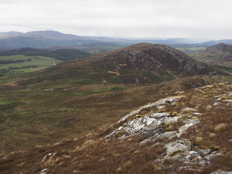
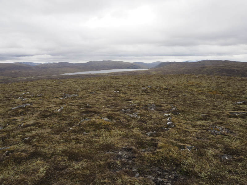
From Carn Dubh I headed south-west to Carn Dubh South Top, a Sub Simm, the summit marked by a cairn on top of a small rise.
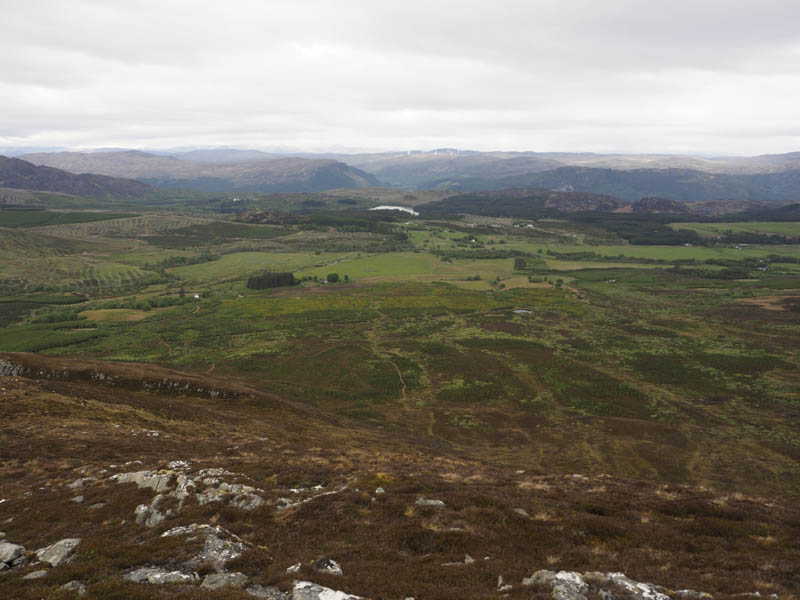
I continued in a south-westerly direction to reach the col below Carn Easgann Bana then climbed this Hump and Corbett Top. There was a cairn here which I sheltered behind from the cold wind for lunch with views of the massive Stronlairg Wind Farm, which consist of 66 turbines. To the west was the Glendoe Reservoir and hydro scheme.
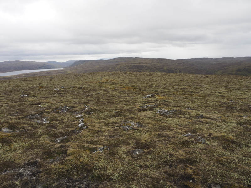
Thereafter I descended the north ridge and climbed Carn Easgann Bana North Top. This Sub Simm consisted of two knolls but I couldn’t say which was the highest.
The descent was by its north ridge, latterly quite steeply through long heather, to a vehicle track I spotted beside the Allt Dubh Cuil na Creige.
On reaching the stream there was a mini hydro dam (NH487090) with its west side built into a rocky gully. I walked briefly upstream to locate a suitable crossing point before joining the vehicle track which then crossed the Allt a’ Choire Dhuibh at a bridge with a second mini hydro dam a few metres upstream. The vehicle track was then followed north passing a track junction at NH487096. This track headed south-west towards Coire Dubh and the 728 knoll I had been on earlier in the day. Anyway I continued my descent north to the woodland I passed through that morning. It was then around a kilometre back to Ardochy and a further 500 metres to my car.
- Time taken – 6.75 hours.
- Distance – 18.75 kilometres.
- Height climbed – 800 metres.