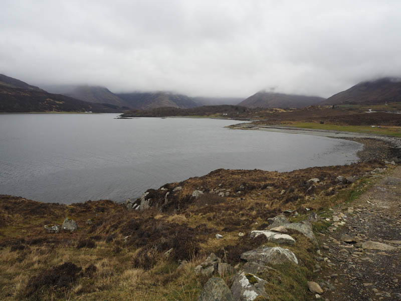
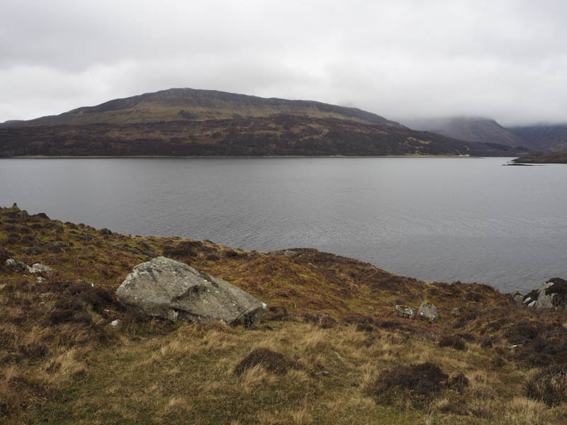
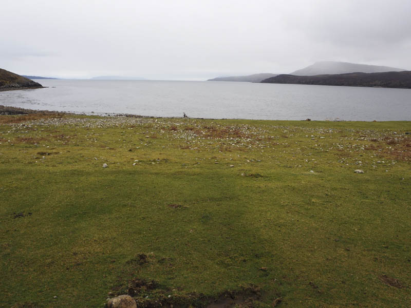
I drove across to the Isle of Skye with the intention of climbing the hills around Glen Boreraig. I read that the roads in Skye were in a fairly bad state of repair and that was the case on the B8083 Broadford to Torrin Road with numerous pot holes making for a slower than normal drive. Prior to the hamlet of Kilbride I took the road to Camas Malag, which was even in a worse state, parking on the grass at the end of the public road.
In the rain and misty conditions, Skye is called the Misty Isle, I set off south along the rough vehicle track towards the deserted clearance village of Suisnish. The rain cleared to occasional fine drizzle as the track gradually rose then with a slight loss of height to the bridge over the Allt a’ Ghairuillt.
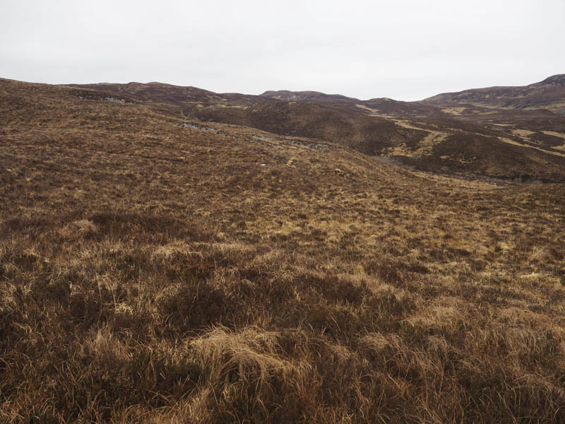
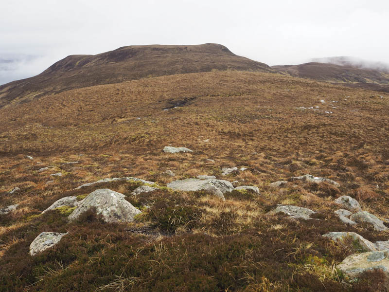
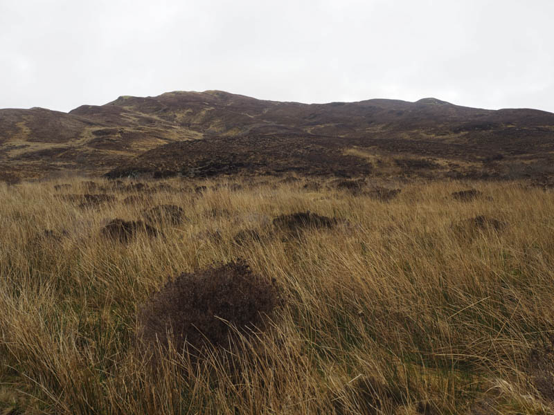
Prior to this bridge I left the track and walked east, initially alongside an old dyke, then through a mixture of heather and grass with a few animal trails to follow. As height was gained the heather became longer then the gradient increased before I reached the summit of Beinn a’ Mheadhoin.
The highest point of this Tump was either a grassy knoll or a small cairn, I couldn’t tell. The mist had lifted a bit but while sitting at the summit enjoying a cup of coffee the mist lowered again.
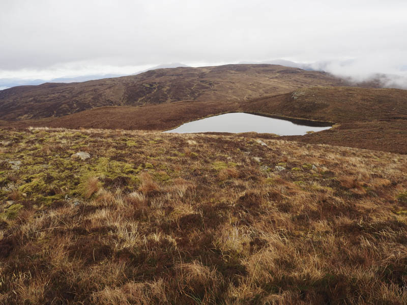
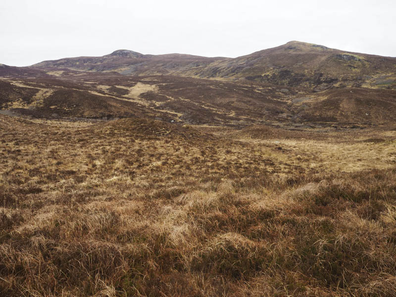
I descended south-west to a wet col and climbed the Hump, Beinn Bhudie; the highest point appeared to be vegetation beside a small cairn.
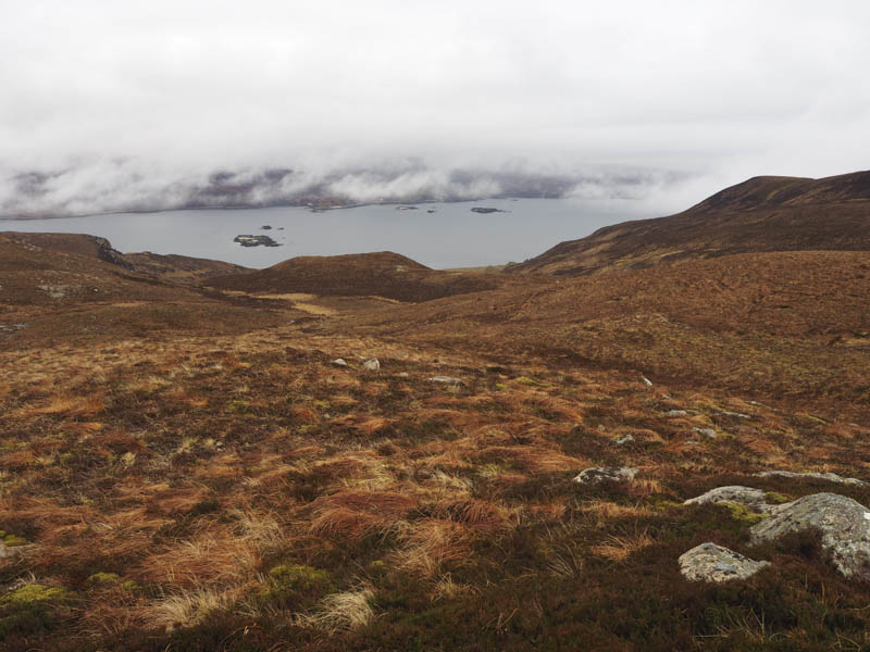
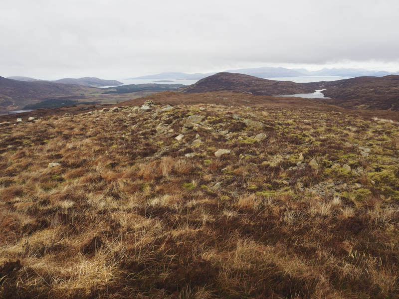
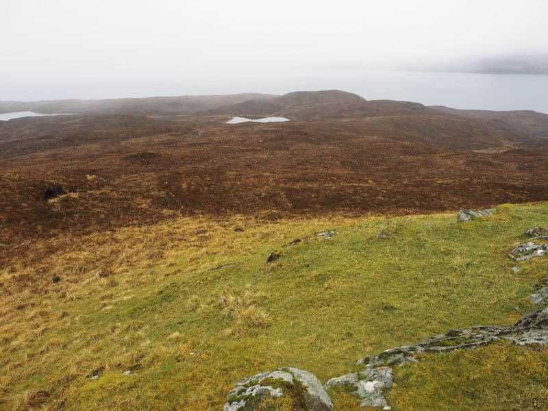
With no views due to the mist I descended west to the north side of Loch na Sgurr and out of the cloud before climbing the Tump, Beinn Bhudie West Top.
There were two choices for the highest point a mossy knoll or a grassy one.
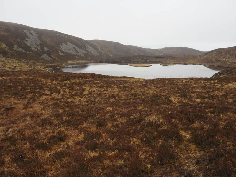
The descent west took me into an extensive area of burnt vegetation which appeared to be more like a moorland fire than muirburning.
It did make for an easier walk to reach the Suisnish vehicle track south of the bridge over the Allt a’ Ghairuillt and the point I had left it earlier. I then returned along the track to Camas Malag.
- Time taken – 4.5 hours.
- Distance – 10.75 kilometres.
- Height climbed – 415 metres.