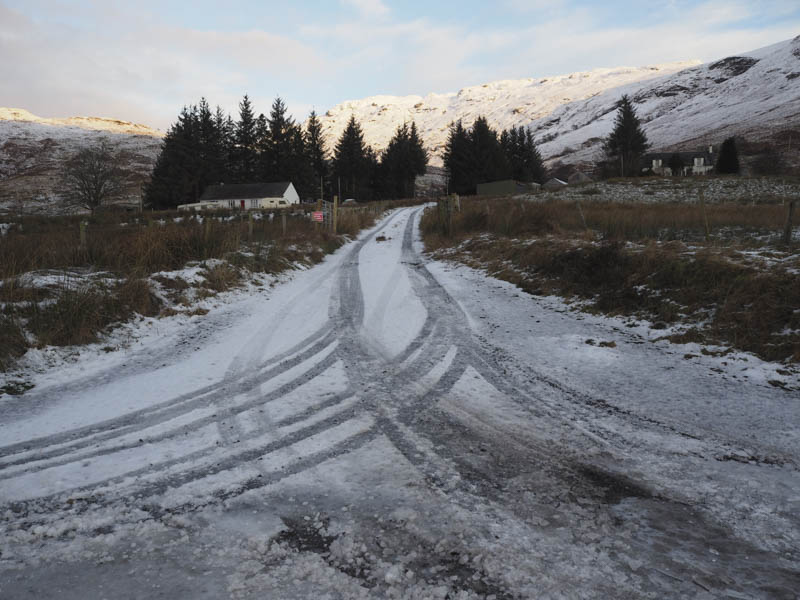
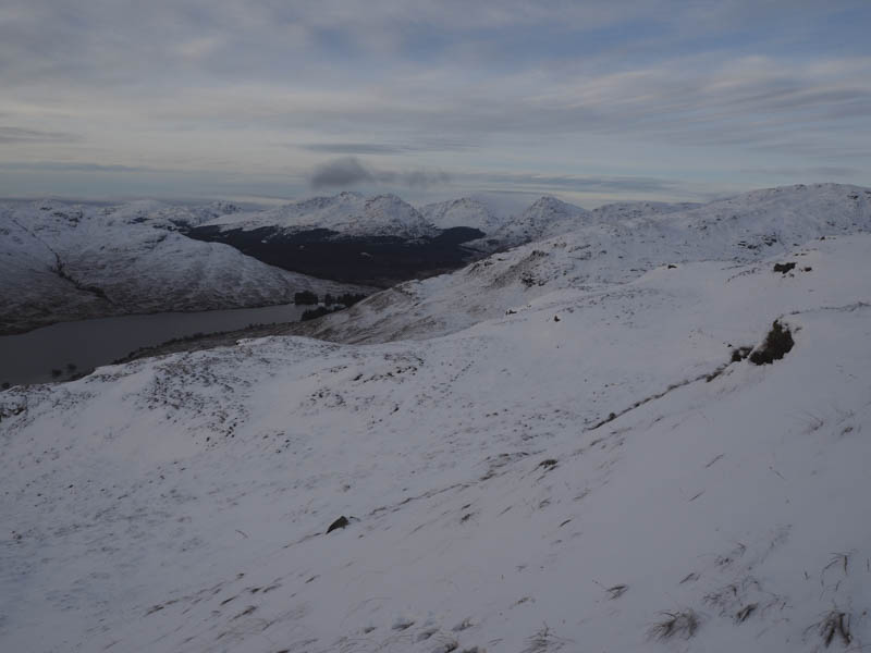
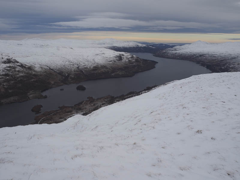
On an ascent of Beinn a’ Choin back in 2002 I ascended this Corbett via Maol Mor, but hadn’t recorded visiting the actual summit of this Hump hence the return visit. On that occasion I obtained permission to park at Corriearklet Farm which is now vacant although the cottage appeared occupied but there was a no parking sign. There are few parking alternatives on this single track road on the north side of Glen Arklet, accessed from the B829 north of Aberfoyle, but I managed get most of my car off the tarred area at a Passing Place east of the farm road.
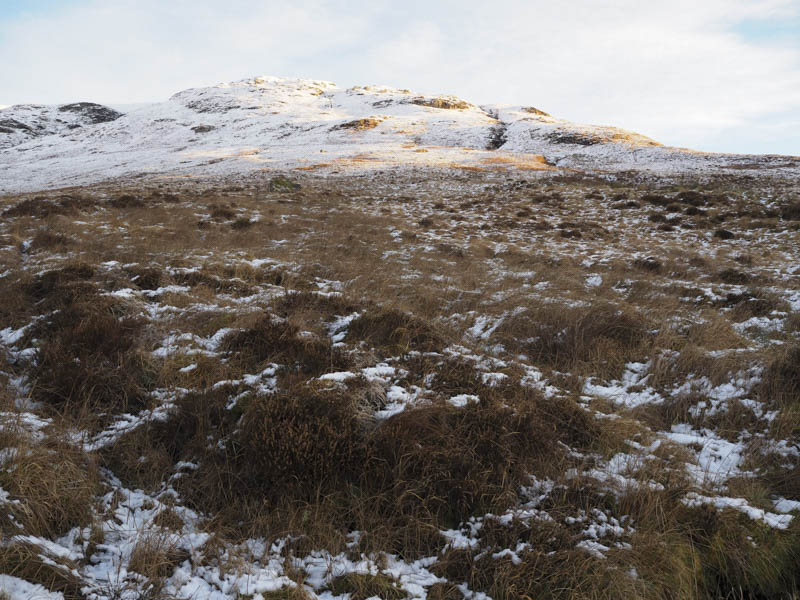
I walked up the farm road, passed through a few gates and crossed some rough vegetation to reach a snow covered path above the farm. (Great Trossachs Path) I briefly followed it east then left it and commenced the ascent of Garradh. This pathless route was snow covered and I worked my way round rocky outcrops trying to avoid the snowdrifts which wouldn’t hold my weight.
Garradh’s summit was reached, marked by a few stones, and from there I descended north-west but the snow was soft and knee deep in places so I headed across to a new deer fence where it appeared there was a bit less snow. The gate in the fence was padlocked but there was stile so once over it I commenced the ascent of Maol Mor.
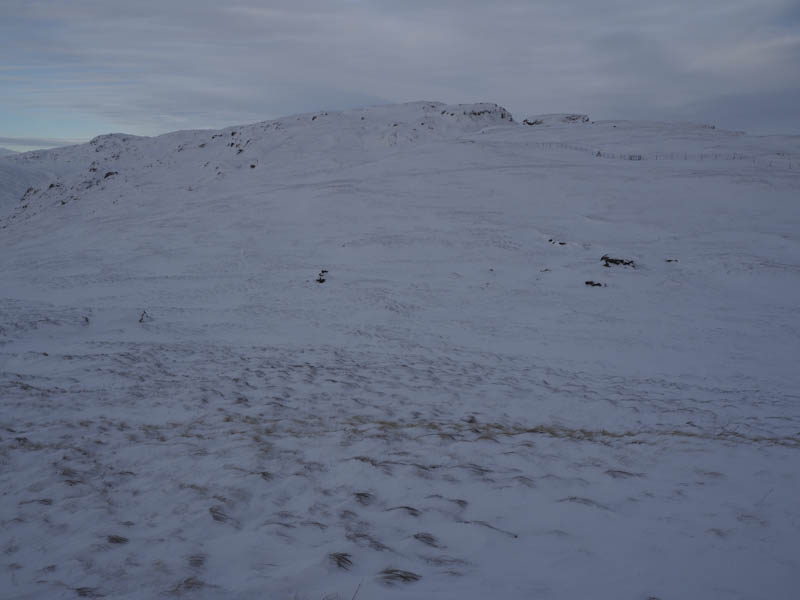
This involved a bit of meandering to avoid rocks and areas of deep snow eventually reaching its trig point where I took a short break sheltering from a cold breeze.
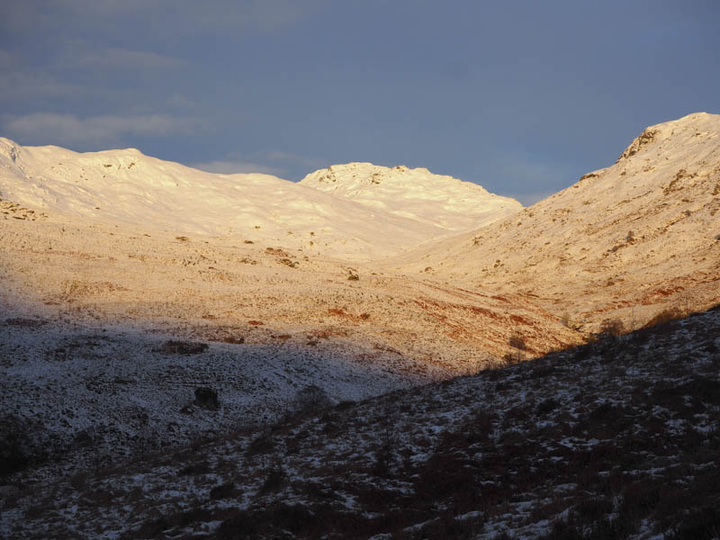
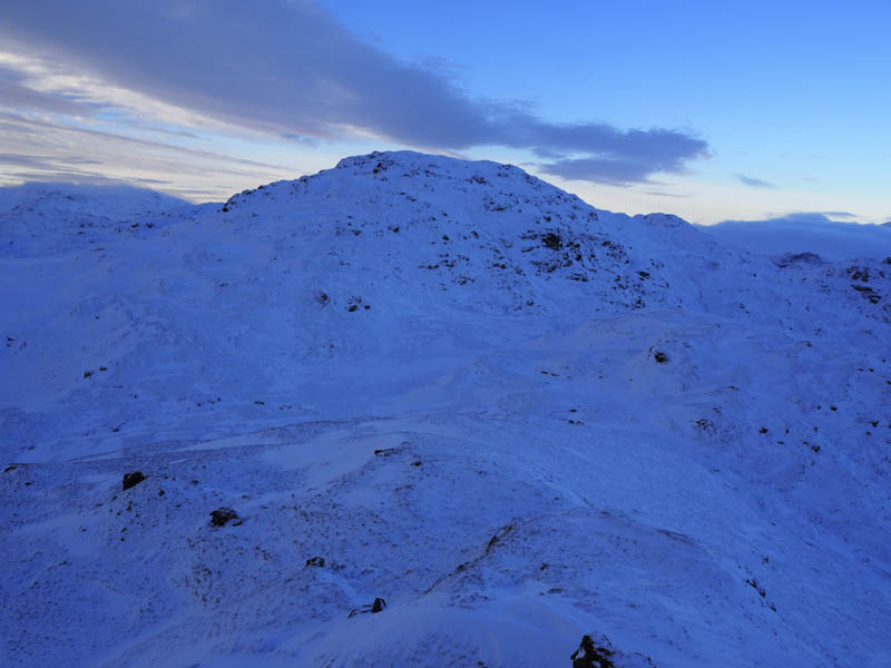
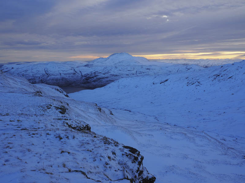
The trig point wasn’t the summit, it was some 750 metres to the north-west so there was more meandering before I reached the unmarked summit. I then continued north-west descending through more knee deep snow before climbing to a rocky knoll marking the summit of the Sub Simm, Stob a’Choin Dhuibh.
It wasn’t possible to make a direct descent towards my next hill so I headed south then worked my way below Stob a’Choin Dhuibh before losing more height to reach the foot of Maol Breac a’Bhealaich. It was then the case of climbing this Tump avoiding where possible the deepest snow.
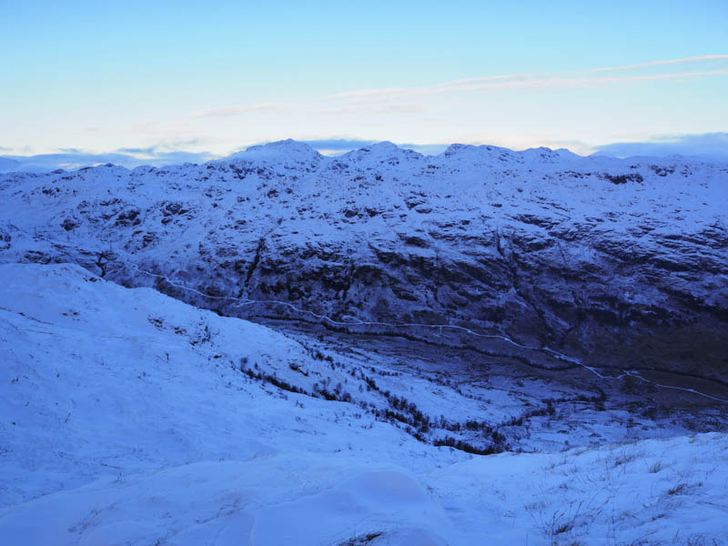
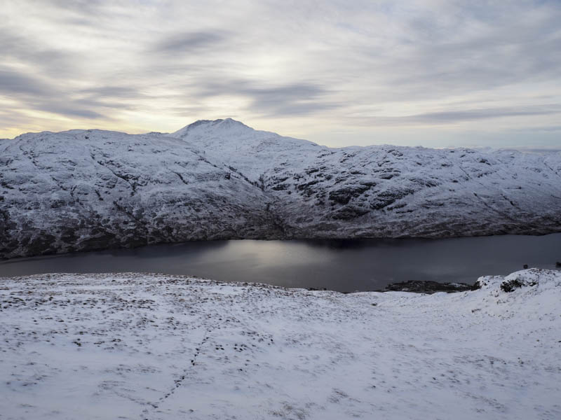
My plan had been to continue to Beinn a’Choin but the snow had slowed me down and although the sun was now out darkness would fall mid afternoon so I decided against including it. I descended into Corriearklet Glen. The route was pathless through snow covered rough vegetation although at times I was able to follow deer tracks which made things a bit easier. Well down the glen I came across the new deer fence but on this occasion there wasn’t a stile so I had to climb over the locked gate. Lower down I rejoined the Great Trossachs Path and walked west before crossing some flattened long vegetation to by-pass Corriearklet Farm and join the road west of where I had left my car.
- Time taken – 6 hours.
- Distance – 11.5 kilometres.
- Height climbed – 750 metres.