On parking in the RSPB car park at the rear of the properties at Garrison, located just beyond the west end of Loch Arklet and accessed from Aberfoyle, I was approached by a friendly chap who enquired where I was headed. I explained to him I was planning on climbing Beinn a’ Choin which he was happy with as he was intending stalking roe deer on the other side of the glen.
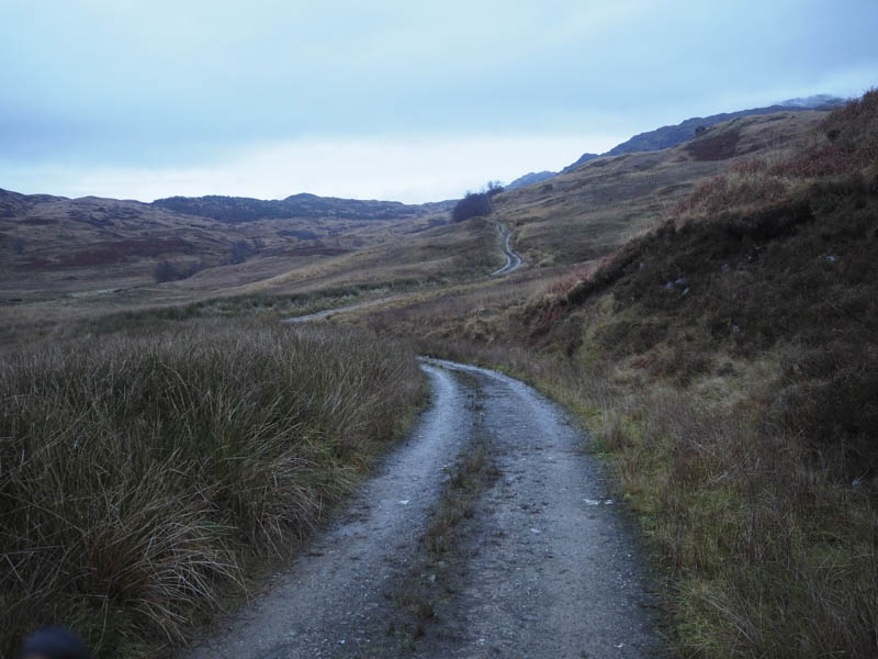
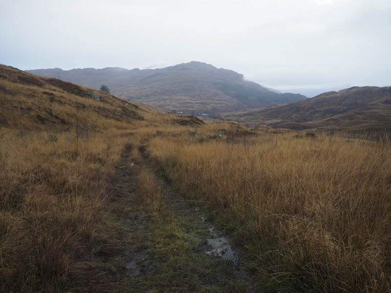
I set off north along the vehicle track on the east side of the Snaid Burn initially losing a bit of height. As I headed further up the glen the condition of the track gradually deteriorated until it was just a wet and boggy ATV track. By this point the cloud had lowered and I no longer had any views.
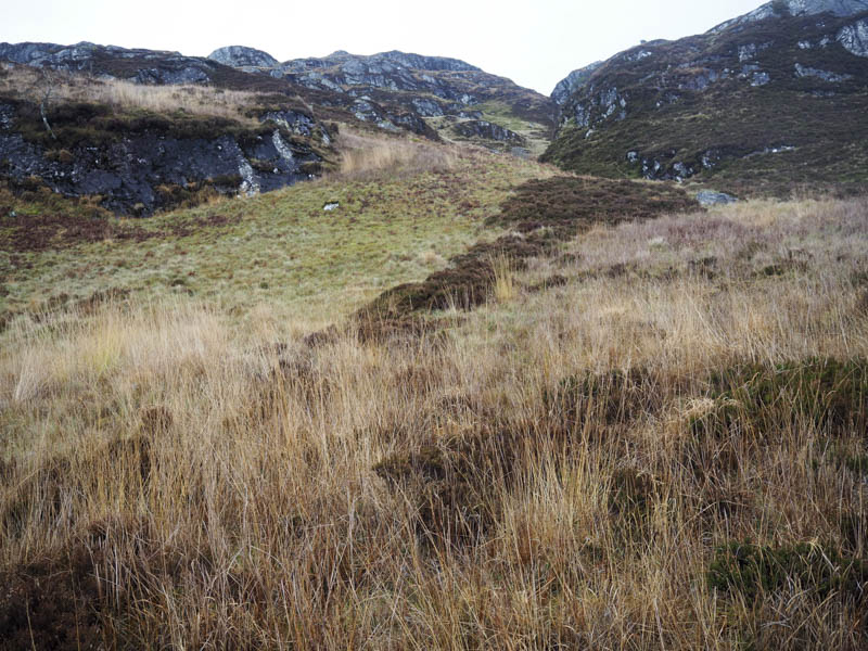
Later I came to a gate in the deer fence and around a couple of hundred metres beyond decided to leave the track and commence the ascent of Beinn a’ Choin. A short walk east through some rough vegetation led to the foot of a gully as the cloud lifted slightly.
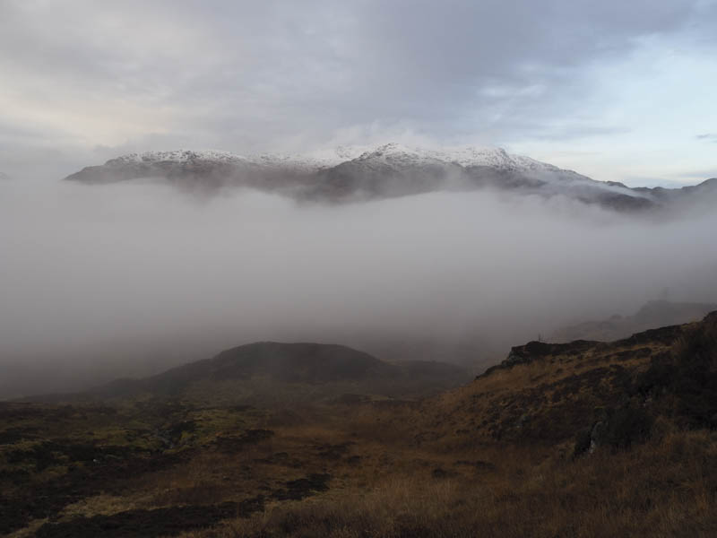
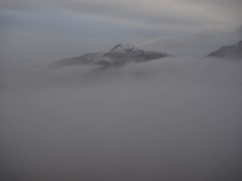
On ascending this gully I got above the cloud with views of the tops of Ben Lomond, Ben Vane and Ben Vorlich.
Higher up there were a few crags to avoid but the route took me into a wide corrie with a mixture of vegetation and some rocks where I disturbed a herd of deer.
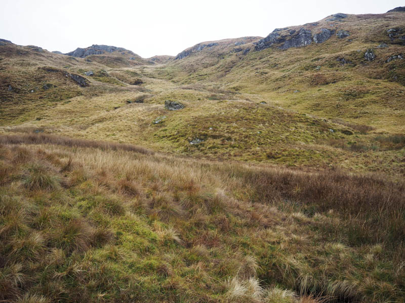
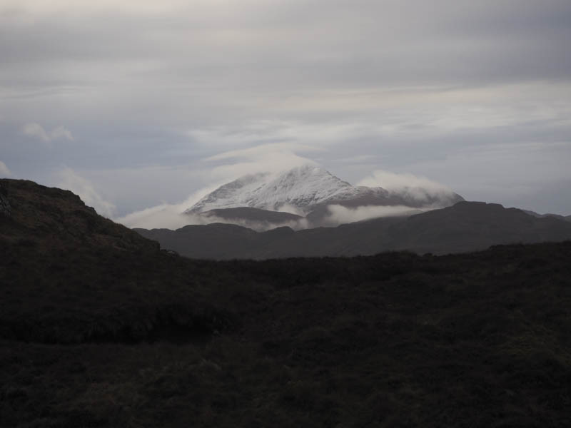
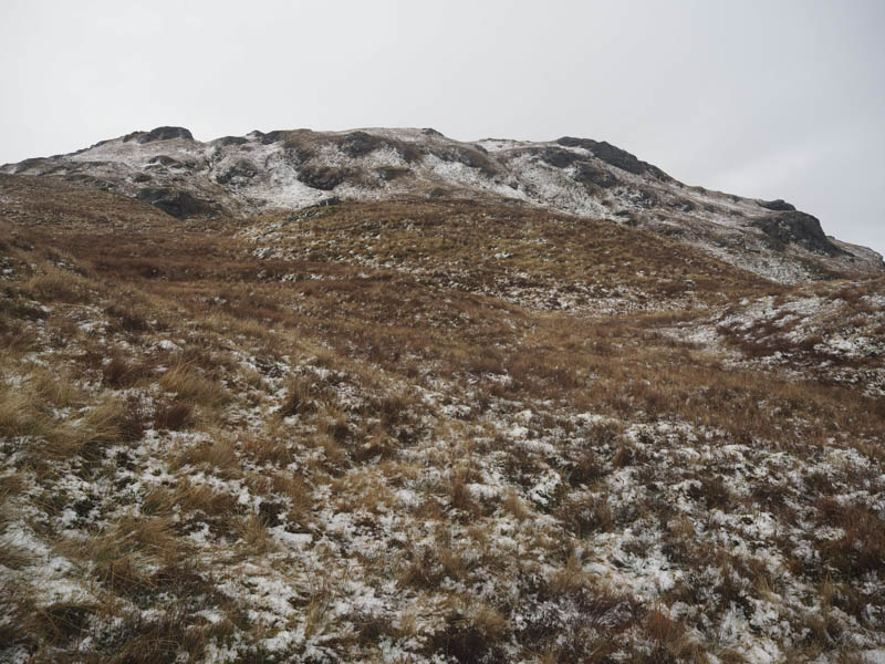
The walk through the corrie wasn’t as easy as it appeared as there were several hollows so I kept to the edge of the corrie. On reaching its head I saw the lightly snow covered top of Beinn a’Choin although the route onto the summit of this Corbett wasn’t straight forward as there were a few gullies to cross and more crags to avoid.
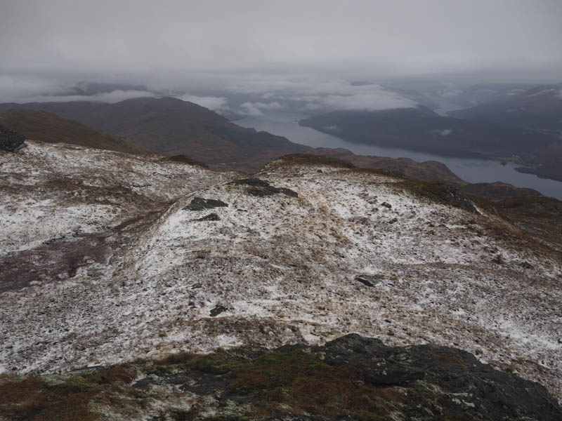
By the time I arrived at the summit cairn the higher tops were in cloud however I still had reasonable views down to Loch Lomond.
After a break here I returned to Garrison by the upward route.
- Time taken – 4 hours.
- Distance – 8.75 kilometres.
- Height climbed – 690 metres.