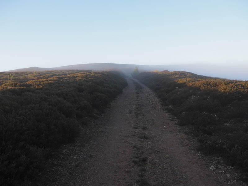
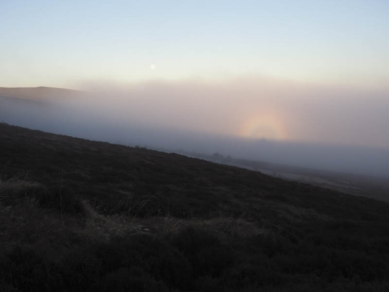
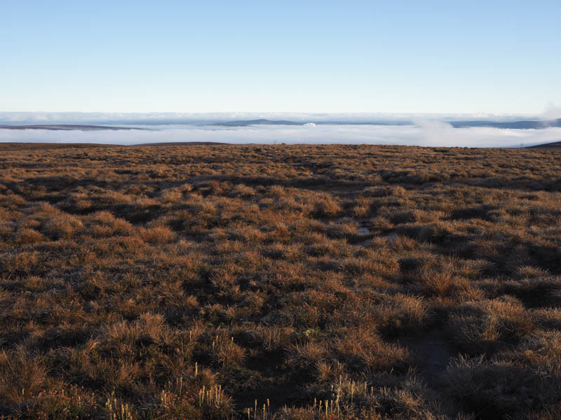
I parked on the verge in Glen Arder, just east of the start of the vehicle track leading Paul’s Hill Wind Farm, which was reached along the minor road from the B9102 south of Knockando in Moray. I then walked up this vehicle track, initially fairly steeply with rock faces on either side. Once the gradient eased and at a junction of tracks I took a left onto the track for Roy’s Hill. As I gained height I emerged from the low cloud and into sunny conditions with views of the peaks of the nearby hills.
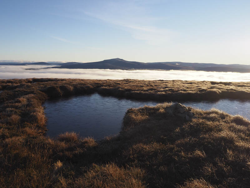
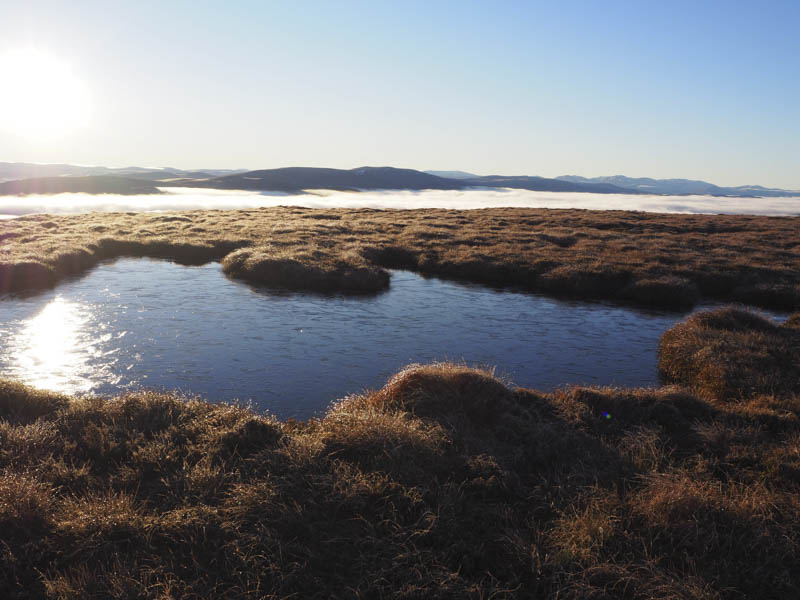
A steady climb took me to just north of the summit of Roy’s Hill then it was a short walk through heather to the trig point and a cairn positioned beside pools of water which may have been the highest point of this Tump.
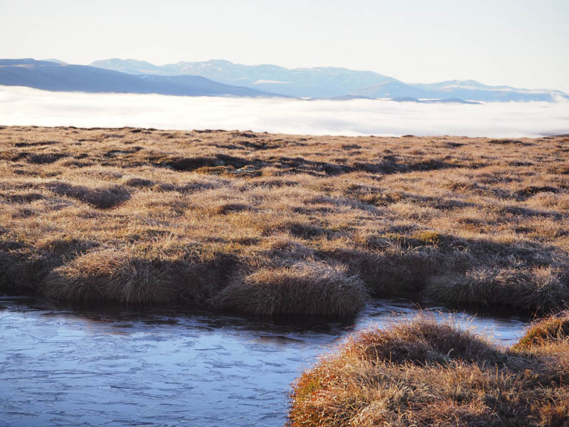
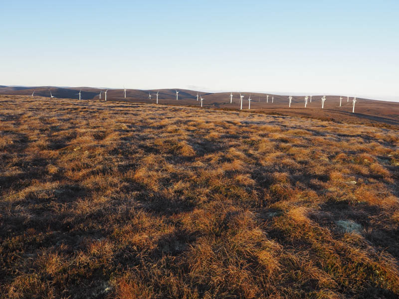
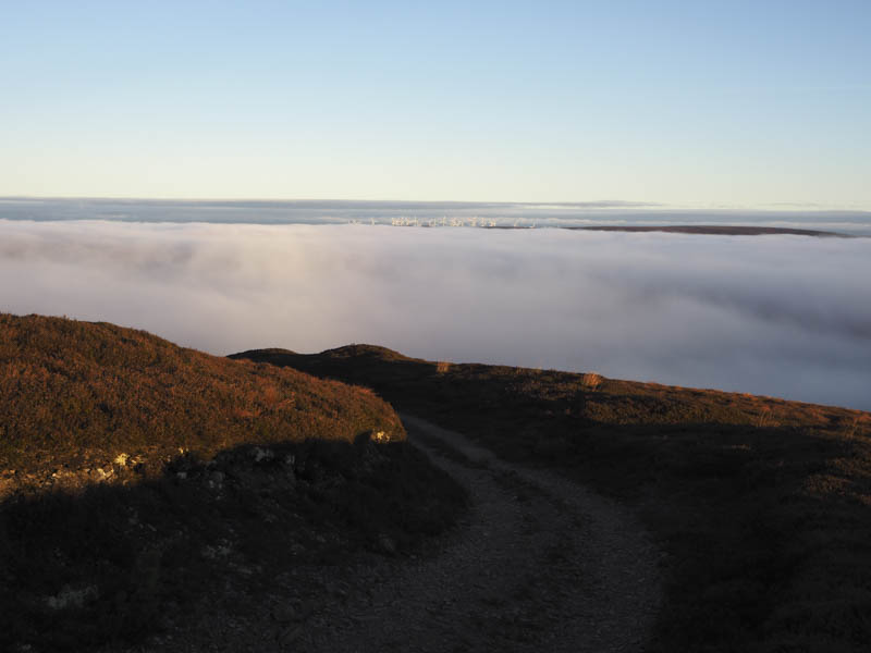
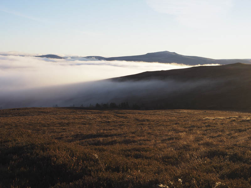
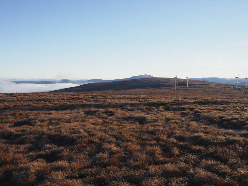
After a coffee break sitting in the sun and taking in the views I descended north-west across rough ground with several hollows. Fortunately the ground was frozen or it would have been rather boggy. This took me to the vehicle track for Paul’s Hill Wind Farm where I walked south-west then north-west along this track passed numerous wind turbines and towards the summit of Carn Shalag. The final 100 metres or so was across rough ground to the summit of this Tump which appeared to be a grassy, mossy, heathery knoll.
I then returned to the wind farm track and used it to get back to my car.
- Time taken – 3 hours.
- Distance – 11.5 kilometres.
- Height climbed – 400 metres.