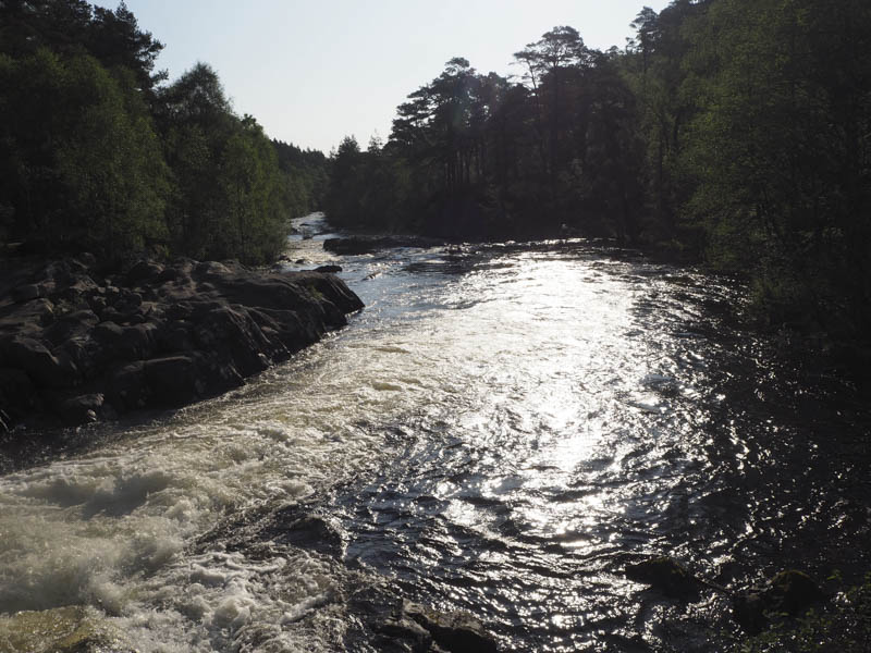
My plan was a circular walk from the Dog Falls in Glen Affric, accessed from the A831 at Cannich, to take in a few Graham Tops on the north side of the Glen. I left my vehicle in the car park at Dog Falls, which was empty, paying the £2 parking fee. I briefly visited the Dog Falls before walking west along the single track road through Glen Affric to the bridge over the Allt Blar na Gamhna.
I looked for the path marked on my map that ran up the side of this stream but couldn’t find the start. I therefore walked through the trees crossing some rough vegetation to locate an old vehicle track which led to a water intake.
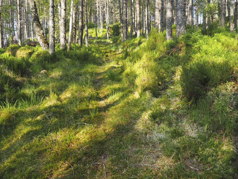
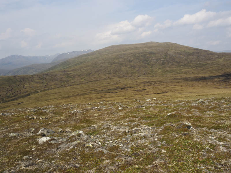
This track continued a bit further then I came to an area where the trees had been felled with no sign of the path. After crossing more rough ground I came across a forest track not shown on my map and utilised it for a bit but it was heading to the south of Meallan na Ceardaich while I required to be on its east side. I therefore left the track and worked my way through the trees and un-trodden vegetation onto the open hillside. After crossing more rough ground I reached an old vehicle track, probably a section of the path marked on the map, which eventually disappeared in the heather. From there I climbed the Sub Dodd, Meallan na Ceardaich North Top, accidentally missing out its South Top.
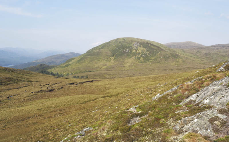
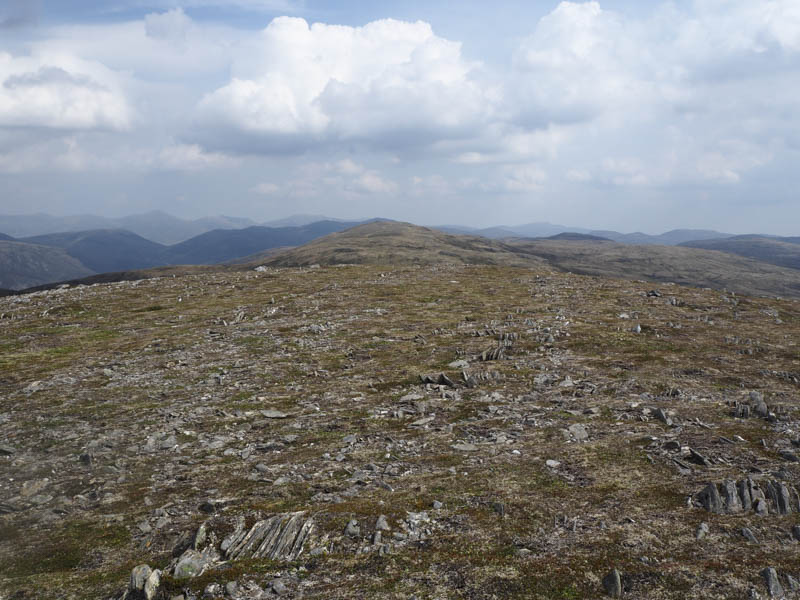
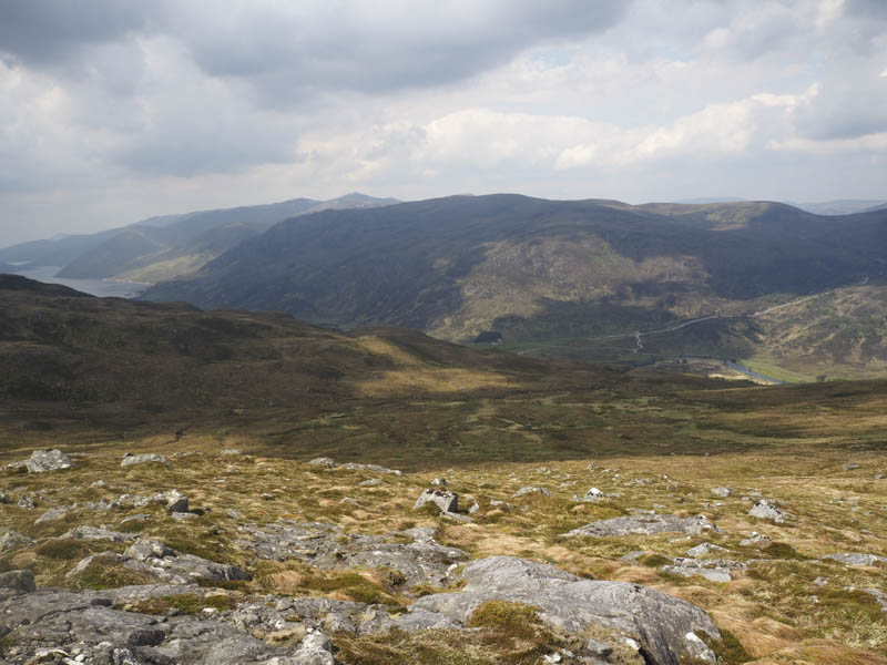
I thereafter headed round Coire Beithe where the vegetation made for some rough going before reaching the Graham Top, Meall Mor, and here took a break.
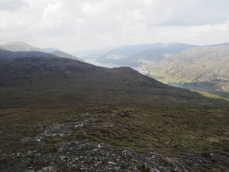
Afterwards I headed to the edge of a deer fence which was followed towards the col with Feith a’ Ghiubhais crossing a new deer fence twice. From there I ascended the Hump and Graham Top, Carn Loch na Gobhlaig.
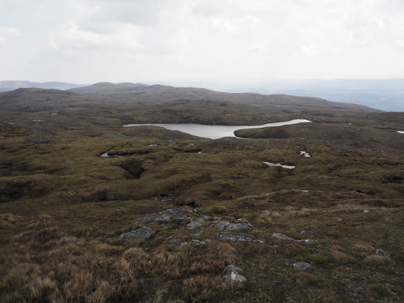
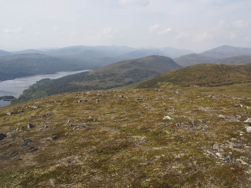
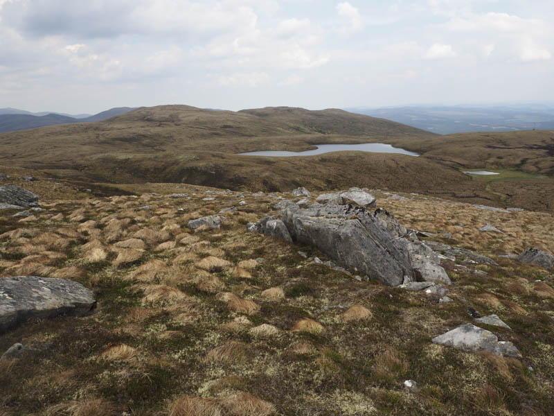
The pathless route continued as I descended north-east passed the un-named lochan north of Loch na Gobhlaig before climbing the Graham Tops, Creag a’ Chorre Dhuibh then Creag a’ Chorre Dhuibh East Top where I stopped for another break.
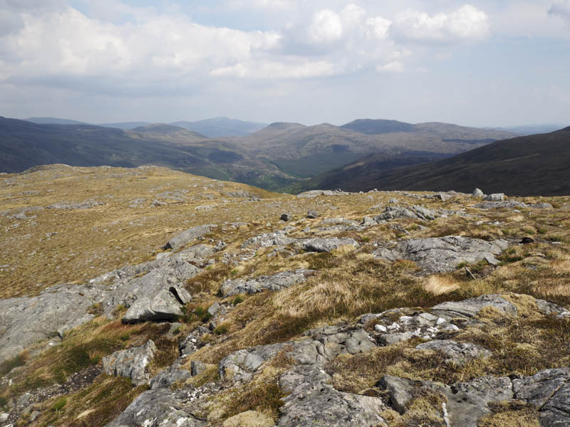
The descent was south-west then south before heading towards the An Cam-allt where the ground steepened significantly so I kept to the east before entering the forest. Here again the walking was awkward through fallen and cut timber as well as some long vegetation. Eventually I reached the forest track where I briefly headed east to join the Kintail and Glen Affric Way which was followed through the trees to the Dog Falls Car Park.
- Time taken – 6.75 hours.
- Distance – 15.25 kilometres.
- Height climbed – 865 metres.