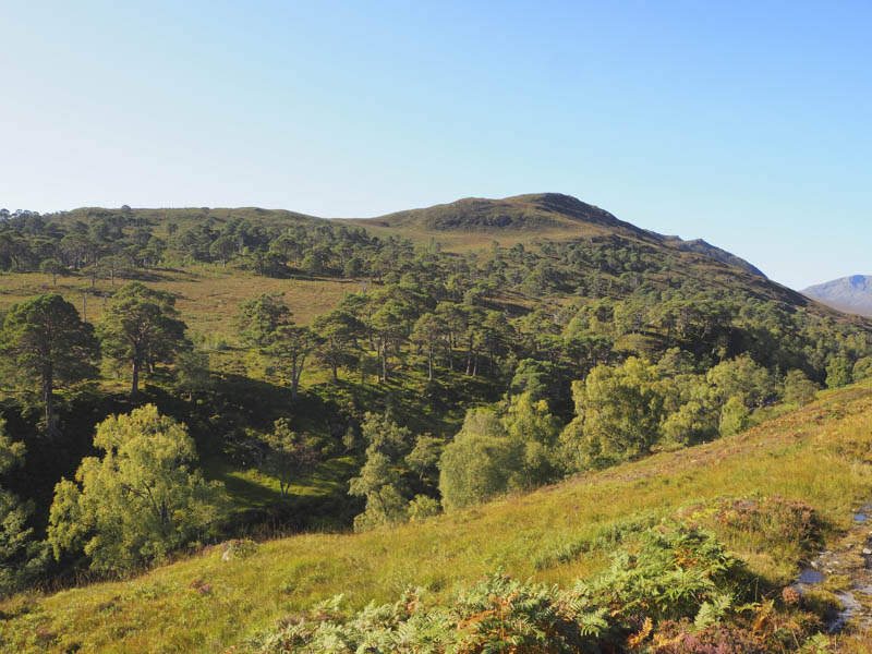
With a fine day forecasted we headed for Glen Affric, reached along a single track road from west of the village of Cannich. We left my vehicle in the car park at Loch Beinn a’ Mheadhoin and walked briefly north along the road to just beyond the bridge over the Allt na h-Imrich to a little used vehicle track. Once through a gate in the deer fence it was a fairly steady climb north-west along this track which later headed west as the gradient eased considerably before emerging from the trees.
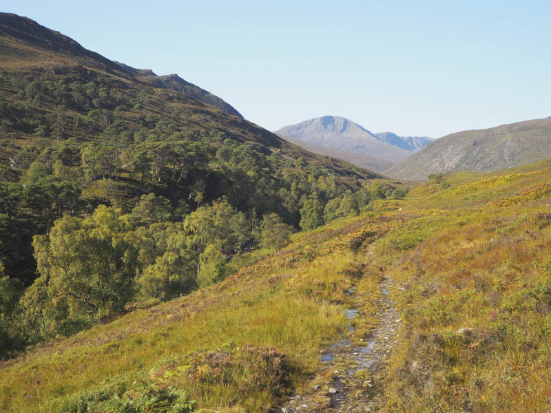
The track continued above the north side of the Allt na h-Imrich for around 1.5 kilometres to a point where the path shown on the map ran north up the Doire Mhor.
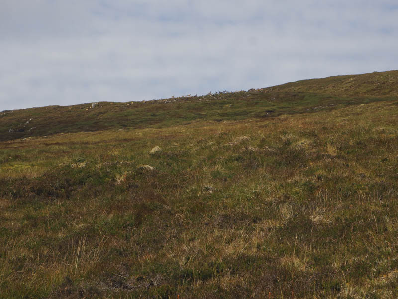
However we didn’t find its start so walked through long vegetation later coming across the overgrown path. It was hard to follow and we frequently lost its line as we climbed across the Doire Mhor.
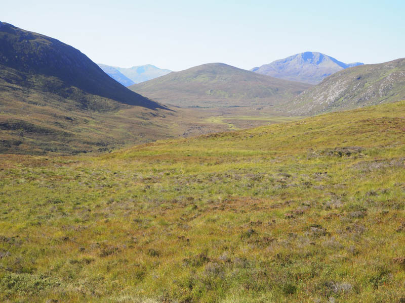
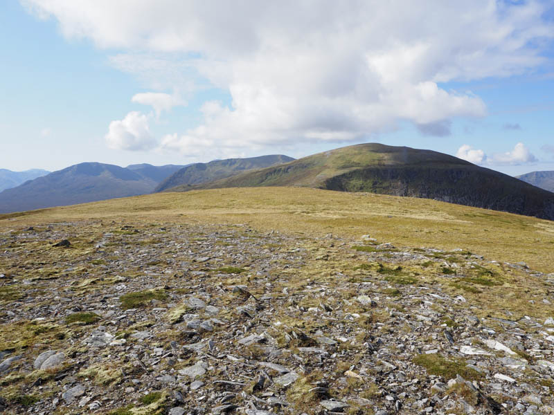
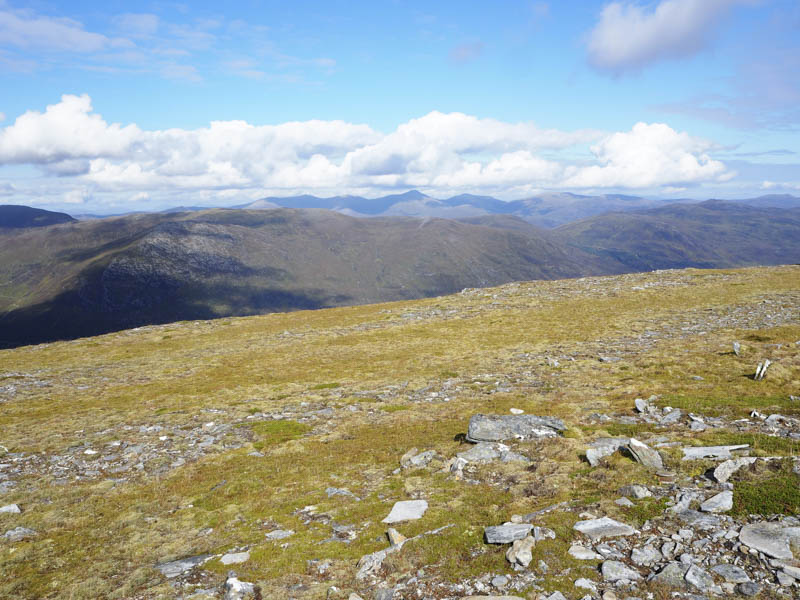
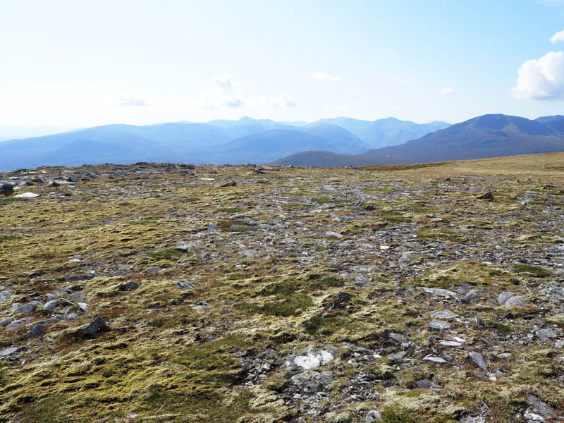
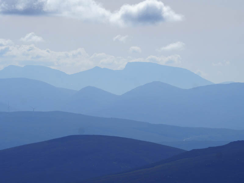
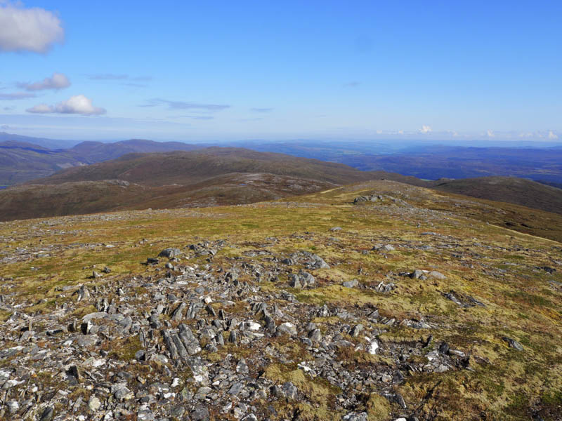
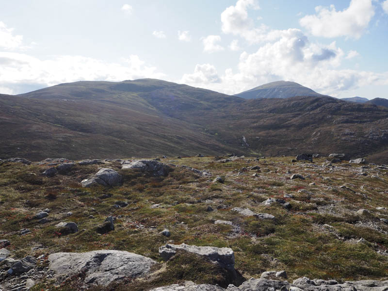
Eventually we reached the north-east ridge of Doire Tana where it was an easy stroll to the cairn marking the summit of this Hump and Corbett Top. Here we had views of numerous hills including Ben Nevis and some of those in the Far North.
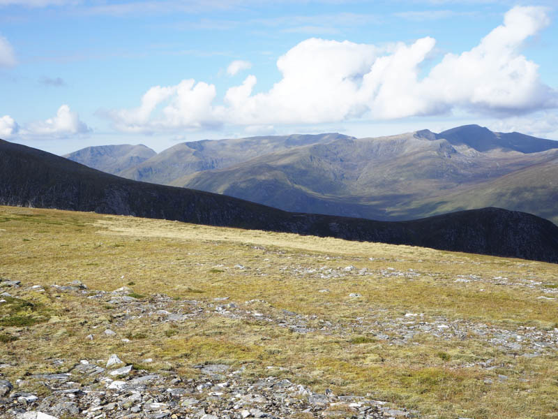
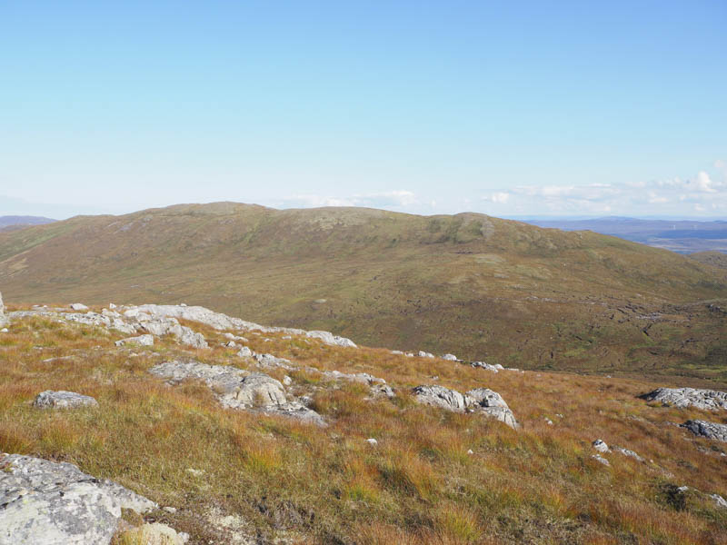
We then headed for the North-East Top where there was a shelter cairn before continuing the descent east passing another shelter cairn to reach the col with Doire Tana East Top.
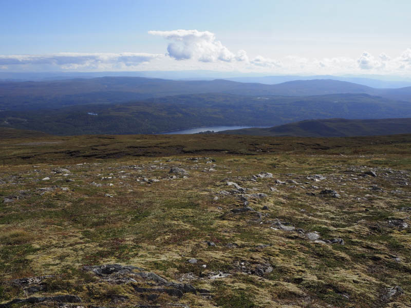
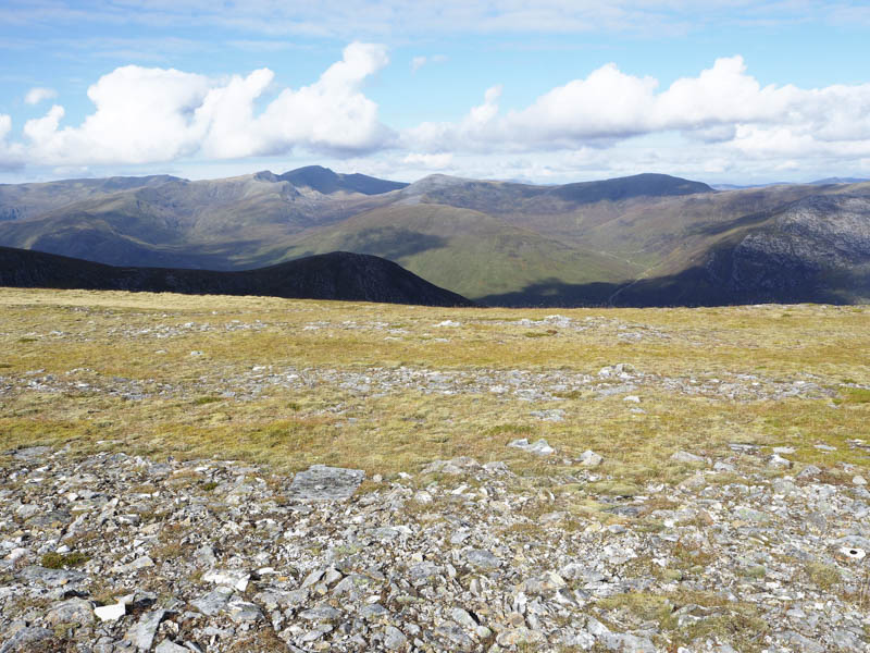
Here we traversed below its north side and headed for its col with Feith a’ Ghiubhais before climbing to the summit of this Graham Top, visiting both highpoints.
On returning to the col between Feith a’ Ghiubhais and Doire Tana East Top we climbed to the summit of the latter.
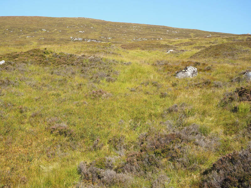
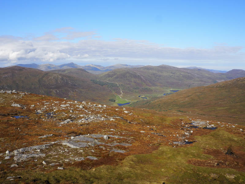
The descent south from this Sub Simm was across rough vegetation to the head of the gorge containing the Allt an Ruighe Dhuibh. Here we crossed the stream, descended fairly steeply south-west occasionally on deer tracks, then lower down through long rough vegetation to join the edge of the wood and vehicle track used at the start. It was then a short walk back to the car park.
- Time taken – 5.75 hours.
- Distance – 11.25 kilometres.
- Height climbed – 835 metres.