I parked on an area of rough ground just south of the highest point on the B845 Barcaldine to Bonawe Road in Gleann Salach, crossed the road and passed through an open gate onto a rough ATV track.
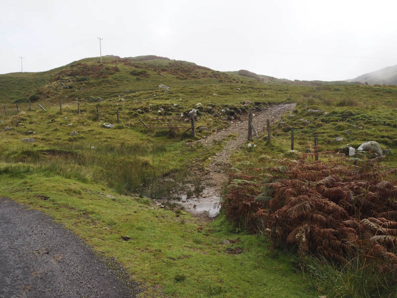
We followed it north-east the track frequently crossing wet and boggy ground, splitting at times, as we gradually gaining some height.
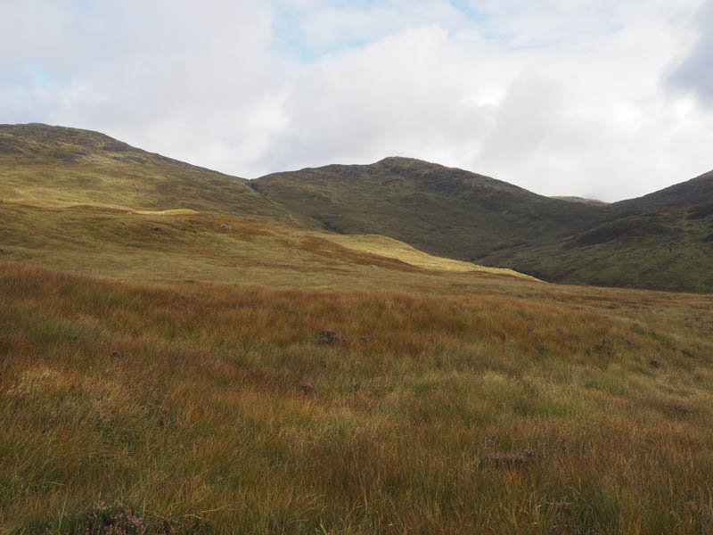
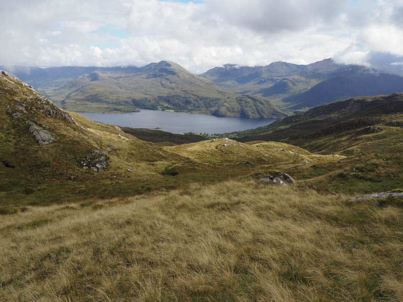
We later left this track and aimed for the gully of the Eas na Gearr where a deer fence initially ran along its west side. Once this deer fence headed off east we crossed a stock fence then the stream and ascended the Graham, Beinn Bhreac.
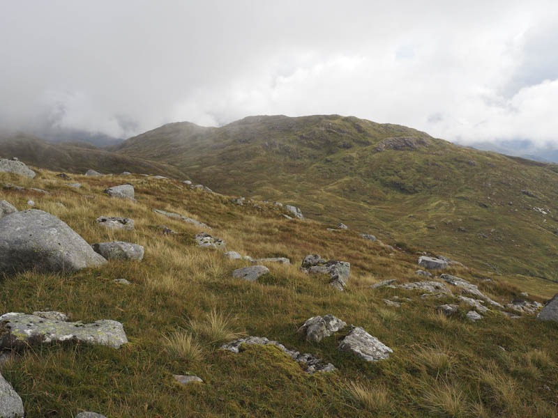
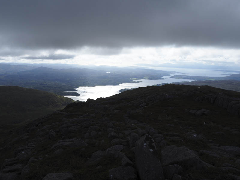
Higher up the walking became easier as the gradient eased but the cloud lowered before we reached the summit cairn.
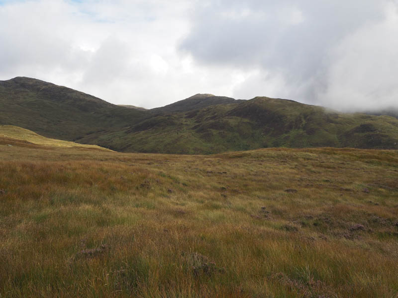
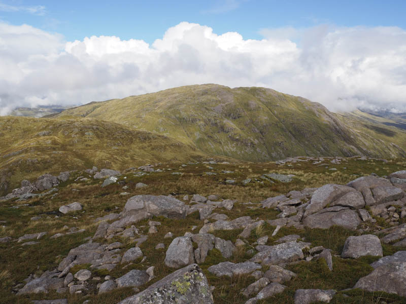
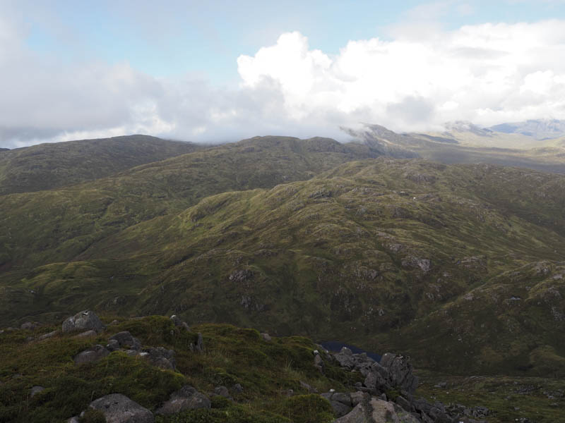
With no views there was no point in hanging around so we descended east to a col then south-east to a second and lower one which took us out of the cloud. From there we ascended the Graham, Beinn Molurgainn, where there appeared two contenders for the highest point.
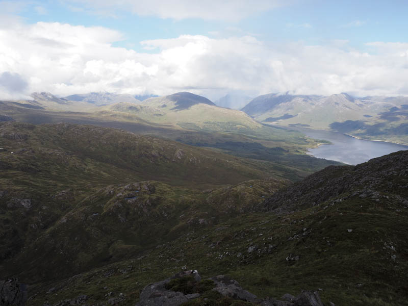
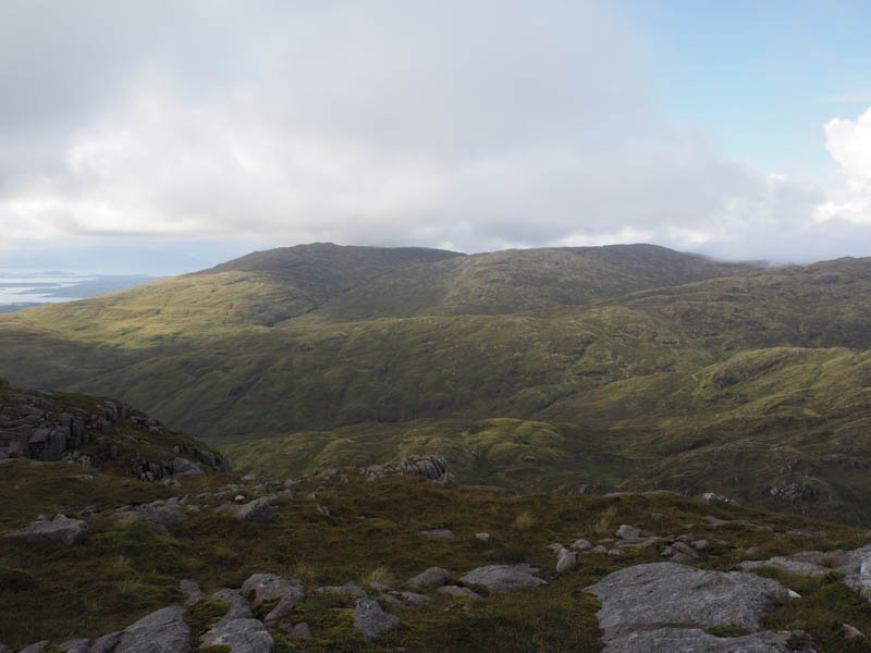
While lunching there we decided to include the Graham, Beinn Mheadhonach. This initially entailed a fairly steep descent before crossing a stock fence then onto Meall Dearg by-passing its summit. We then worked our way round various knolls and across a number of fissures to reach the west end of Lochan Bealach Carra.
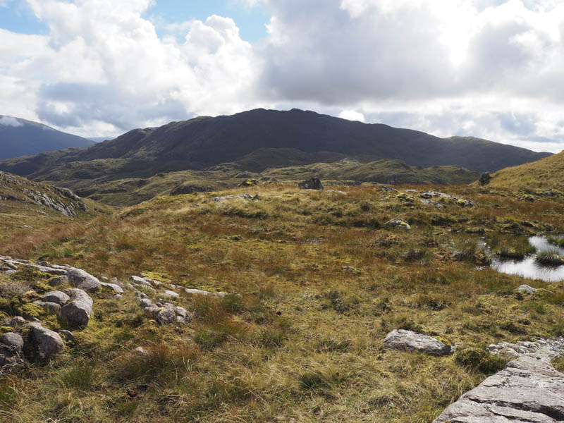
It was then a steep climb onto the west ridge of Beinn Mheadhonach. The gradient later eased then there was a small dip before we made the final climb to the summit cairn where we took another break.
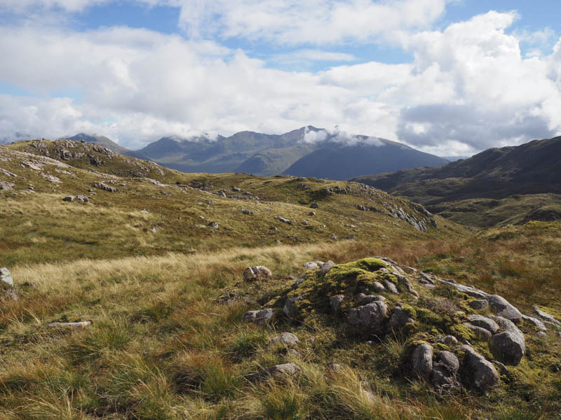
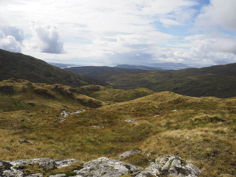
Thereafter we headed down the west ridge, went over the 619 knoll, before descending north-west. The underfoot conditions were fine until we crossed a stock fence and here the vegetation was long, tussocky, and contained young trees. An old track led to the Eas a’ Chrinlet which we crossed then a bridge took us over the Eas na Gearr. From there a vehicle track ascended the hillside to an open gate in the deer fence then after a bit more height gain we reached the track used earlier in the day which was followed back to the start.
- Time taken – 8.75 hours.
- Distance – 17.5 kilometres.
- Height climbed – 1440 metres.