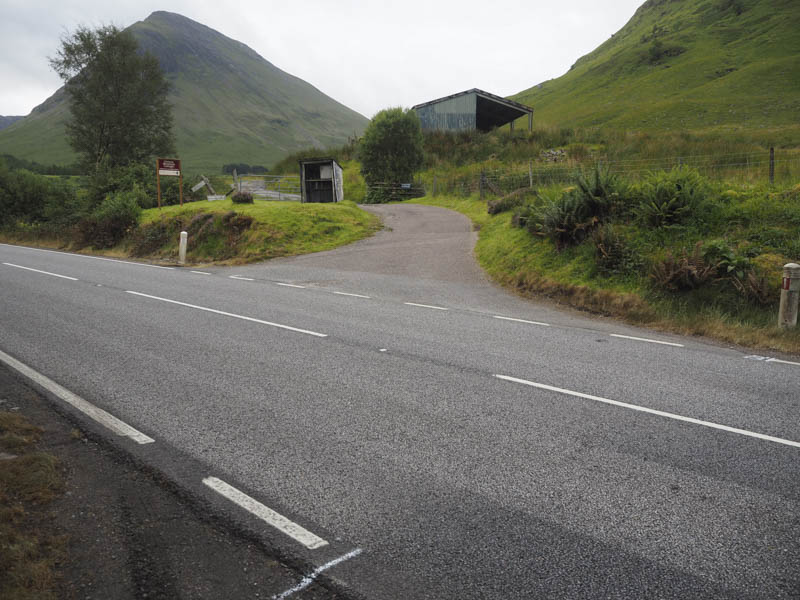
I parked in an area of rough ground on the north side of the A82 just east of Achnacon in Glen Coe. It was fairly early so the traffic on the main road was light as I walked west, unlike on my return when crossing the bridge over the Allt na Muidhe was a bit risky as the road here narrowed and there were more vehicles around.
After a short walk along the A82 I crossed the road and walked south on the private tarred road which led to the houses at Gleann-leac-na-muidhe.
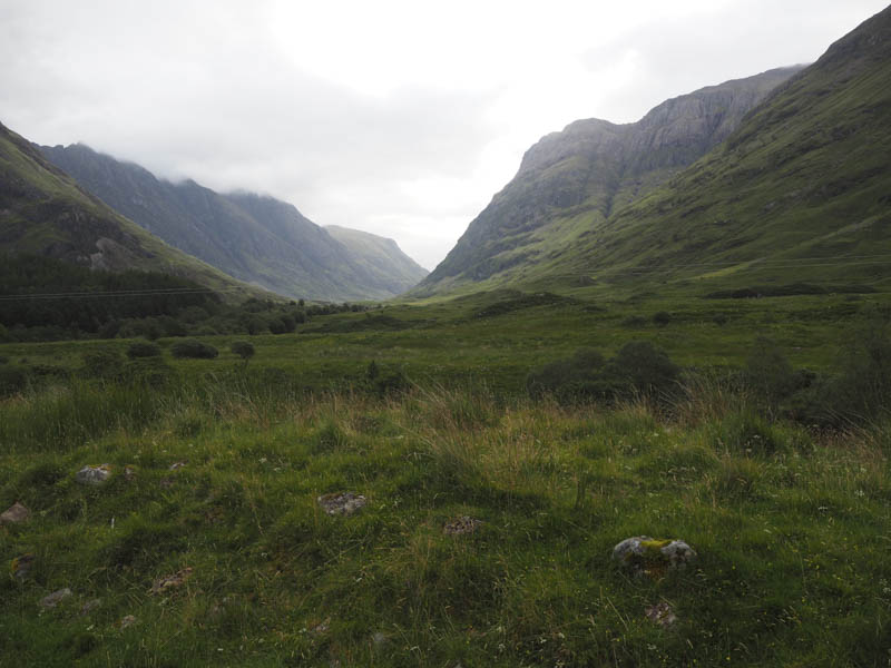
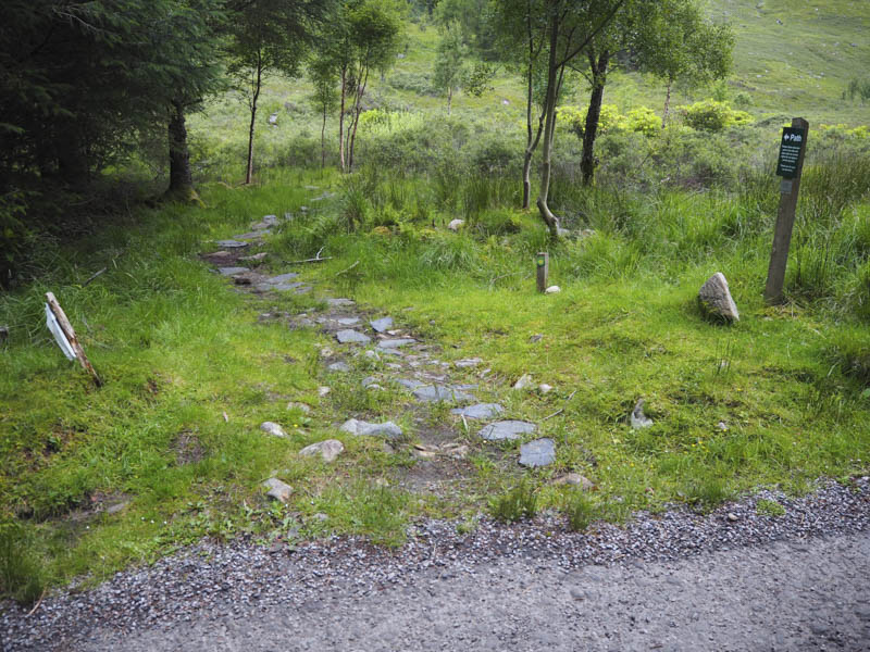
Just before these holiday lets a signed path worked its way round the east side of the properties returning to the now vehicle track before the farm outbuildings.
Beyond these buildings the vehicle track continued up Gleann Leac na Muidhe to a stock gate where it came to an end.
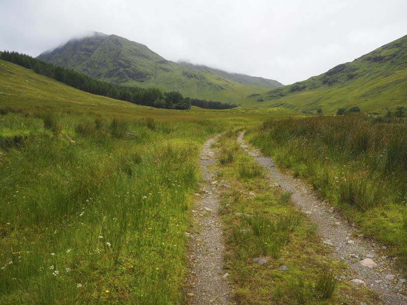
A path, initially badly eroded, led to the edge of the Allt na Muidhe which, as the water was low, was easily crossed.
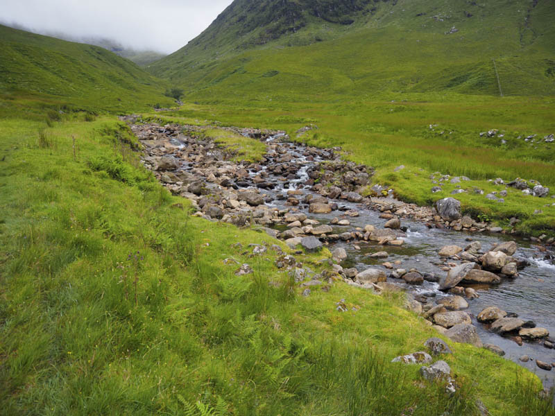
I then walked through some long vegetation with traces of a path or maybe it was just sheep trails but they disappeared as the ground steepened considerably.
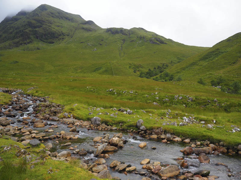
This route took me onto Creag Bhan with a couple of detours to avoid rocky outcrops. Unfortunately the cloud lowered at this point and there were spots of rain blowing through in the wind.
After Creag Bhan I came across an obvious path and some old metal fence posts which were followed to the cairn marking the summit of the Corbett, Meall Lighiche.
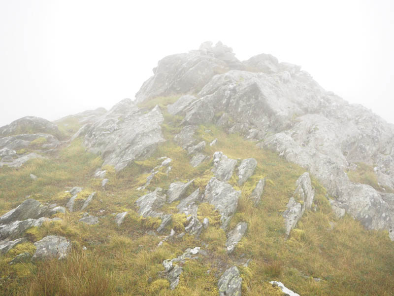
The cloud was now thicker as well as it being wet and windy. I didn’t linger so descended west to the wide col with Meall an Aodainn and out of the cloud. There was also a deer fence to cross.
The rain had ceased and it was an easy climb to the small pile of stones marking the summit of Meall an Aodainn. With the cloud above this Hump and Graham Top I took a break but the views were a bit restrictive as the cloud hung around the higher tops.
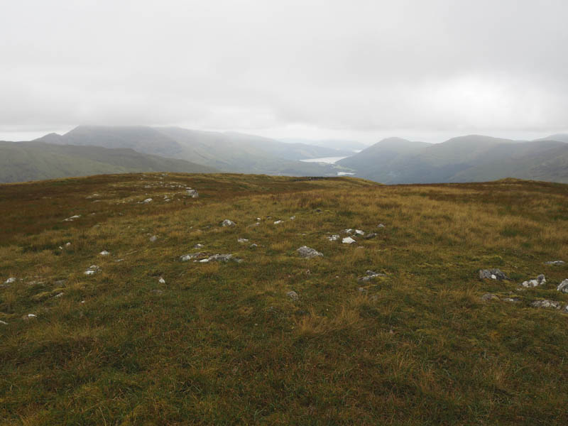
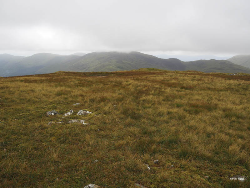
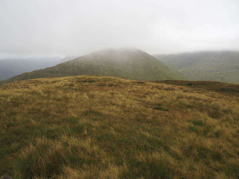
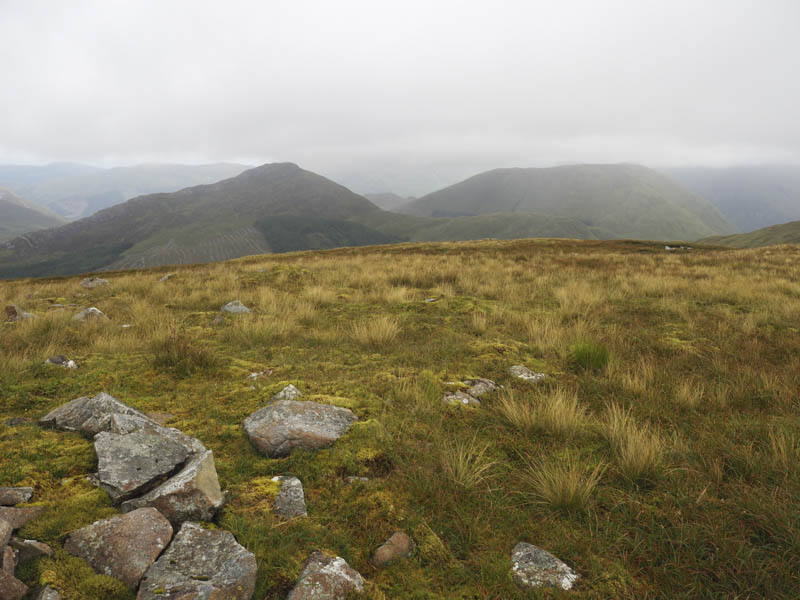
Afterwards I returned to the col then worked my way round the north side of Meall Lighiche re-crossing the deer fence and avoiding some rocky outcrops.
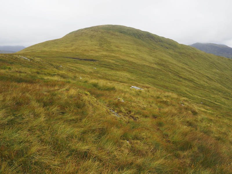
I thereafter descended to the Allt na Muidhe then to the start by the outward route.
- Time taken – 5 hours.
- Distance – 13.5 kilometres.
- Height climbed – 930 metres.