The starting point for this walk was the same as for the Munro, Gulvain, if climbing it from the south. I parked on an old section of roadway on the east side of the bridge over the Fionn Lighe. This was accessed off the A830 Fort William to Glenfinnan Road, opposite the junction with the A861 to Ardgour, passing a couple of cottages with ‘No Waiting’ cones in the area.
I walked north up the vehicle track on the east side of the Fionn Lighe to immediately before the bridge over this river. Here I left the track and crossed some wet ground and through bog myrtle as I headed south-east avoiding a corrie and longer vegetation.
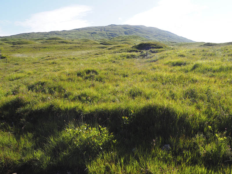
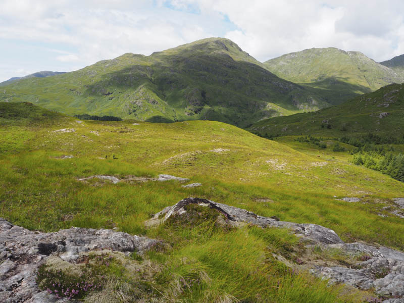
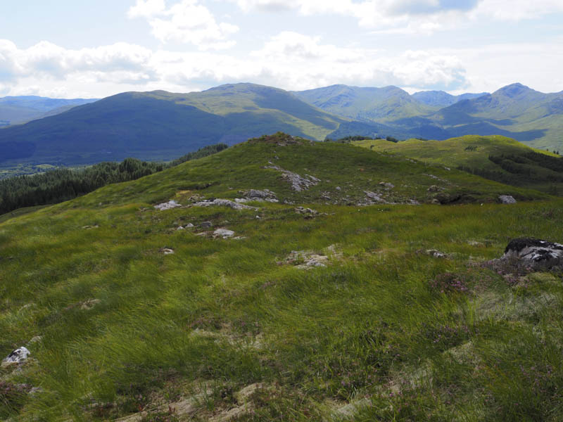
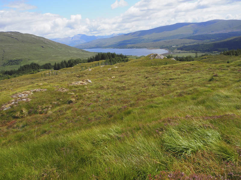
On reaching the Allt na Criche I crossed it then headed east and once higher up north-east onto the south ridge of Beinn an t-Sneachda and to the cairn marking the summit of this Graham Top.
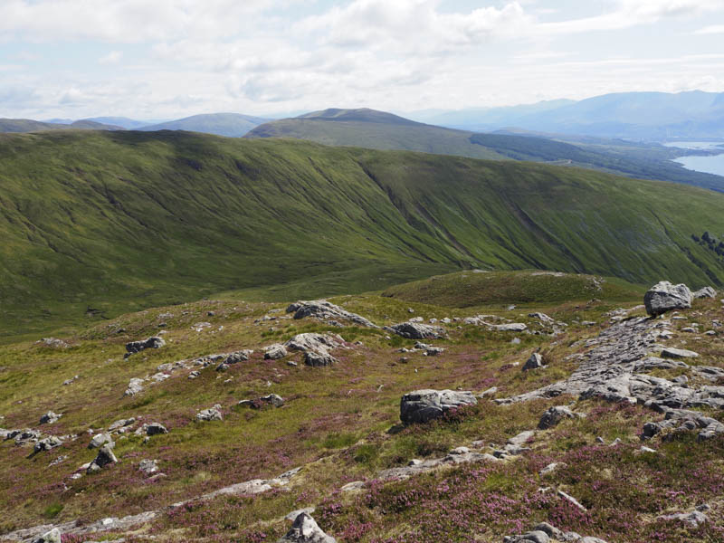
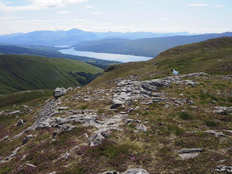
After a short break sheltering from a cold breeze I descended west then lower down south-west, through rough vegetation, to return to the vehicle track beside the bridge over the Fionn Lighe.
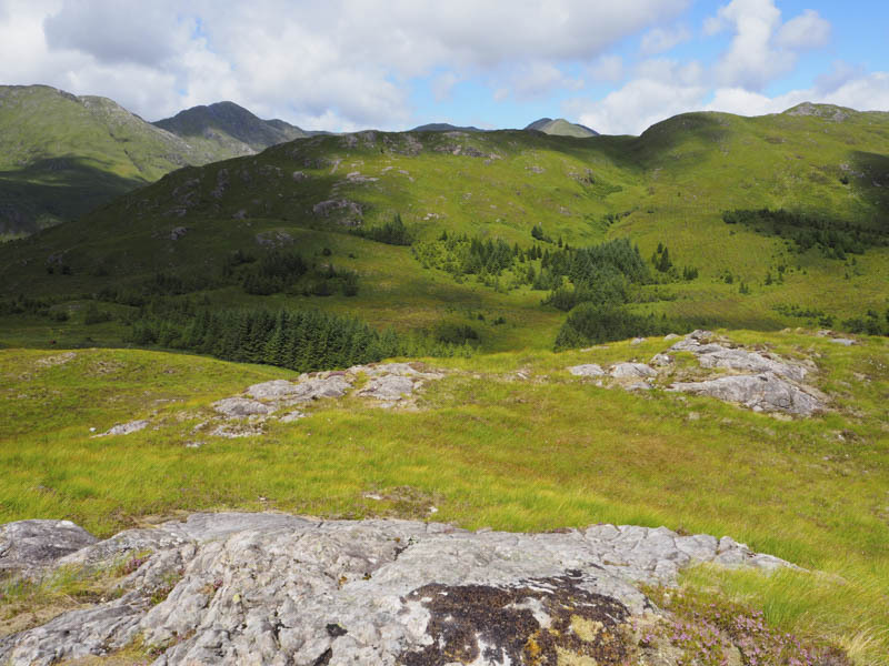
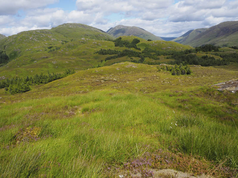
I crossed this bridge and went through a gate in a deer fence immediately in front of me. Initially there were traces of a path, possibly animal, but it soon disappeared. The trees in this section of the forest had been harvested leaving lots of brash with long vegetation including bracken and briar making it hard work with slow progress. I reached a deer fence, went through a nearby gate, and onto a forest extraction vehicle track then more rough vegetation and brash as I headed onto Stob Lochan Lourie. The highest point of this Tump appeared to be an outcrop.
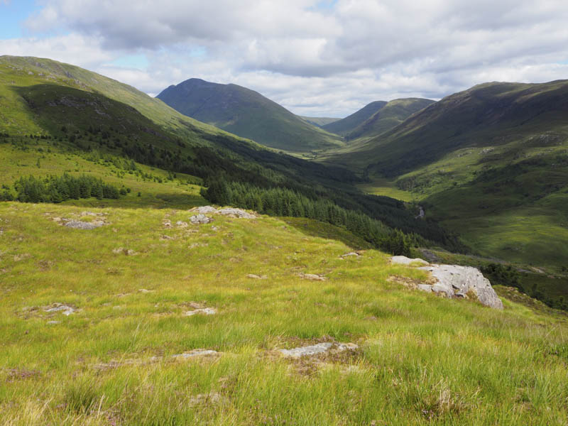
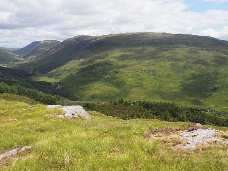
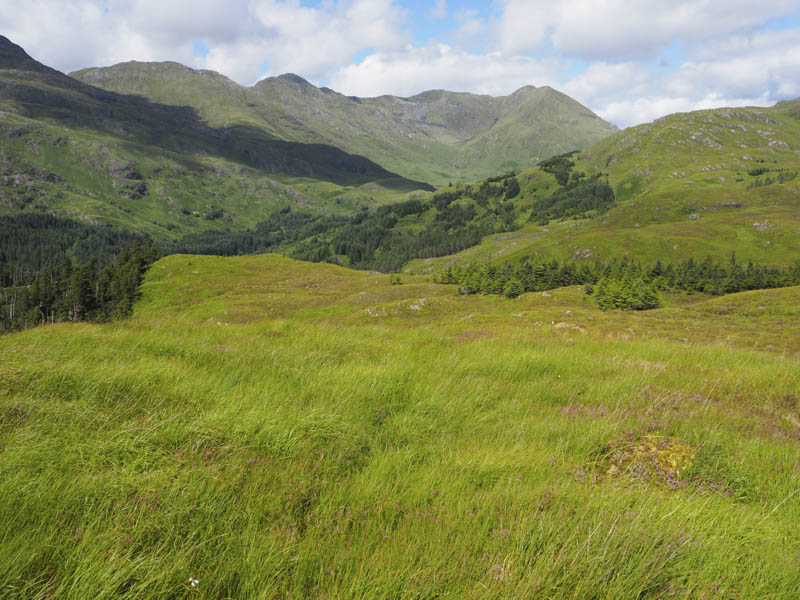
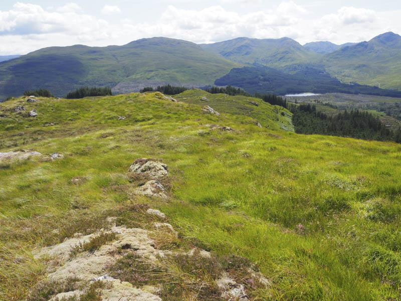
From there I descended south-west through long grass and round some fir trees before climbing to the summit of the Tump, Druim na Saille, marked by a small heathery knoll.
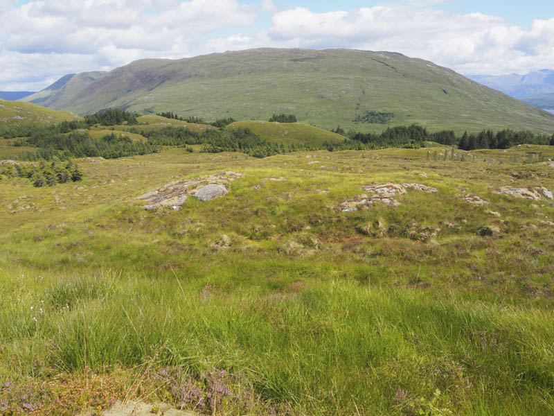
The descent south-east was through more long vegetation to the edge of the forest where I discovered a fire break which led to a forest track at NM952805. I then followed various forest tracks to emerge from the trees beside the cottages just west of my starting point.
- Time taken – 6 hours.
- Distance – 13.25 kilometres.
- Height climbed – 950 metres.