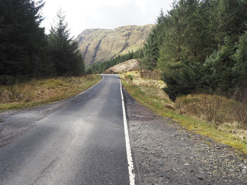
I parked at the start of the forest track on the east side of the B839 Glen Beag Road, also known as Hells’ Glen, which runs between the A815 Strachur Road and the B828 Gleann Mor Road in Cowal.
We then crossed the road and a wooden fence adjacent to a locked gate, and walked south west along a forest track. We later came across a sign indicating that forest operations were in progress but it being a Sunday we ignored the no access sign.
At the end of the forest track we came to a cairn and arrow marked by stones indicating the route south through the forest. This route wasn’t always obvious and was a bit muddy and slippery in places but eventually we emerged from the forest. Just above the tree line there was a small cairn which would be helpful on our return.
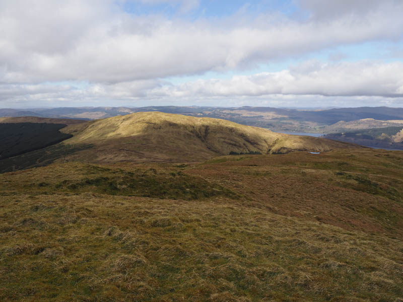
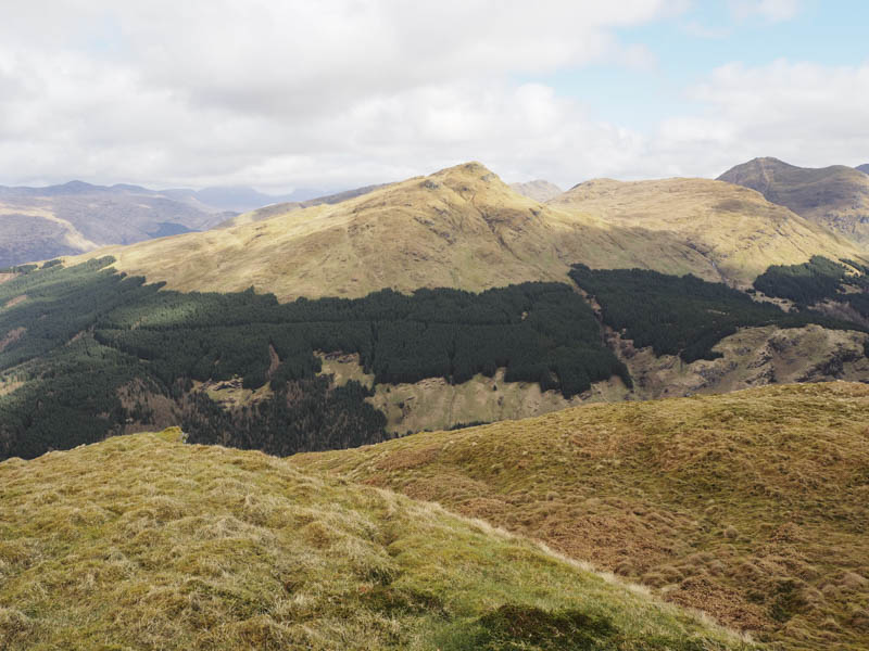
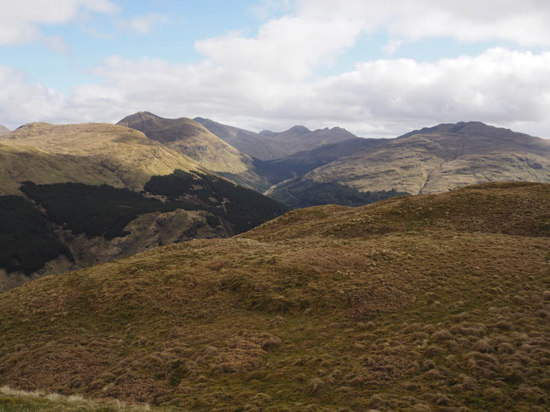
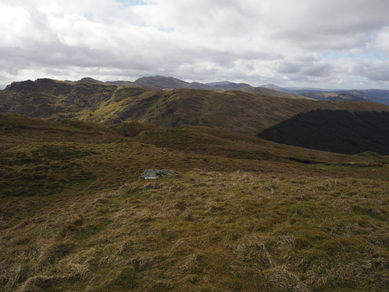
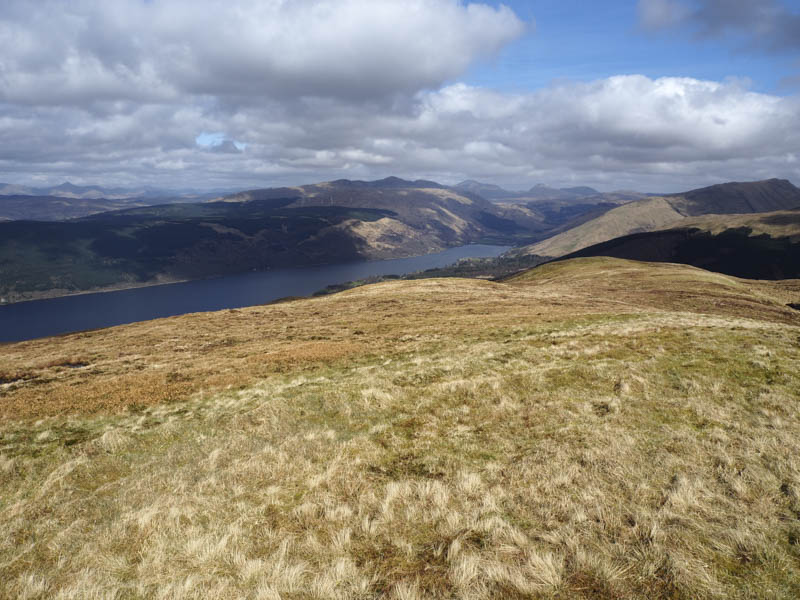
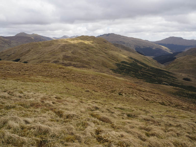
We climbed onto the west face of the Graham, Cruach nam Mult, and to its summit, an unmarked knoll. We also visited its slightly lower south top where we had an early lunch.
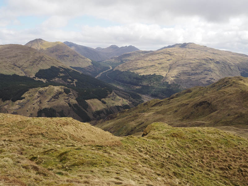
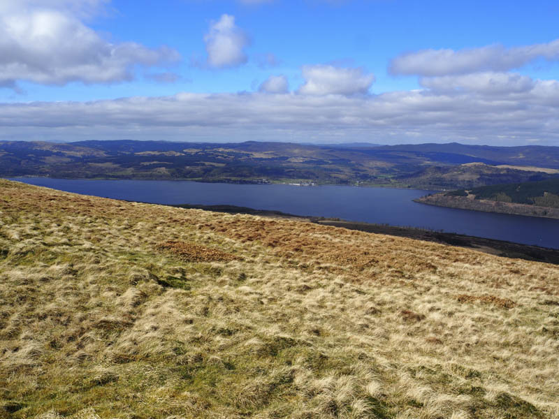
My walking companion then returned by the ascent route. I accompanied her part of the way before heading through some tussocky and wet ground to the col with Cruach nan Capull.
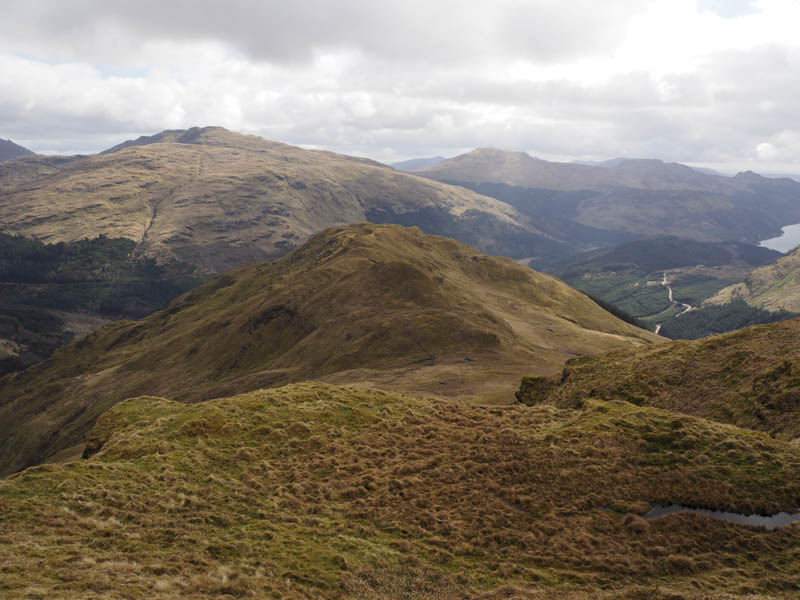
Beyond the wet col I commenced the ascent of Cruach nan Cupull then higher up the ground became quite steep. Just before reaching the top a peat bog was crossed to gain the trig point which marked the summit of this Hump.
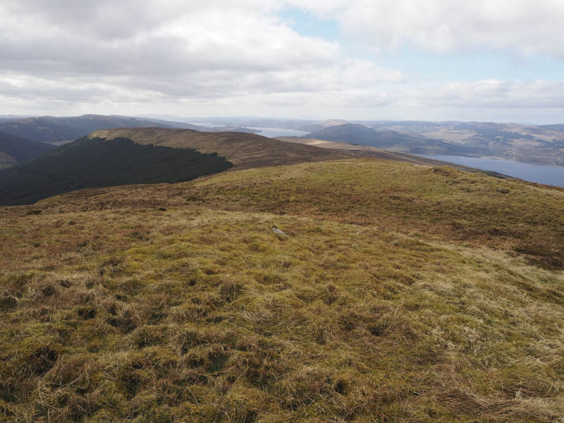
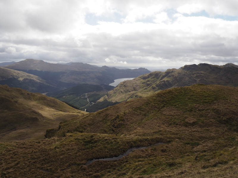
I then returned to the col and headed over to the forest, gaining a bit of height, to locate the cairn near the start of the route through the trees. Once I located the entry point I descended to the forest track then walked back along it to the start.
- Time taken – 4.25 hours.
- Distance – 8.75 kilometres.
- Height climbed – 585 metres.