I left my car in the small parking area beside the bridge over the Shee Water in the Spittal of Glenshee and walked to then a short distance north along the A93. Thereafter a vehicle track was followed east to the property at Tomb, this route being a section of the Cateran Trail. Here I left the Trail and headed north on a vehicle track into Coire Bad an Loin.
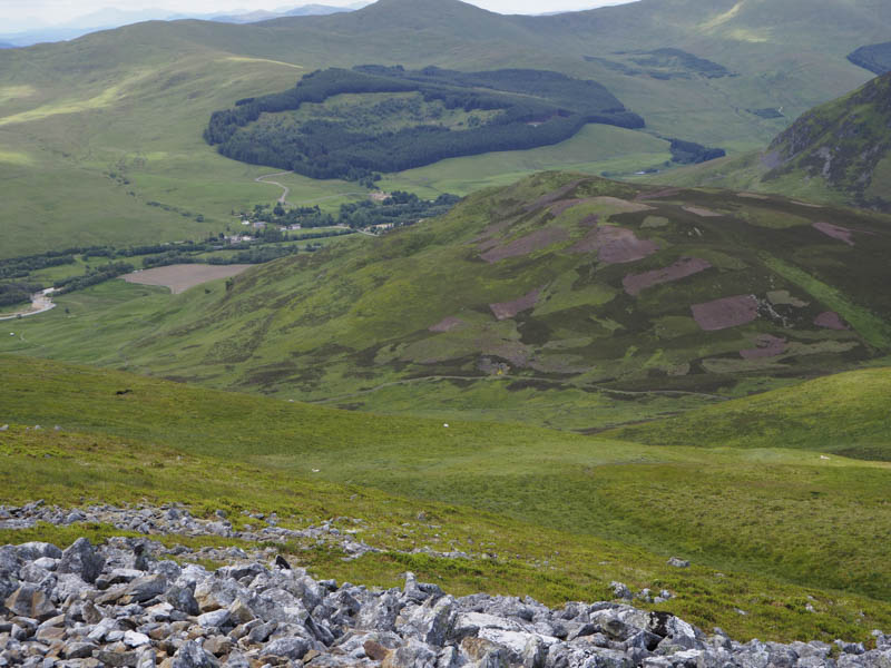
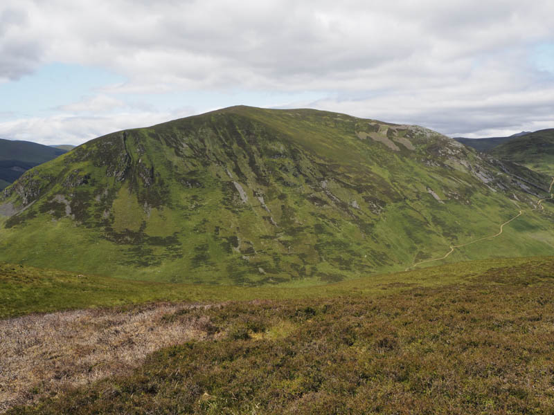
An ATV track, fainter higher up, then took me towards the col between Carn an Daimh and Carn Chomh-Stri. From there I climbed the Graham Top, Carn an Daimh visiting two knolls, as I couldn’t tell which was the highest.
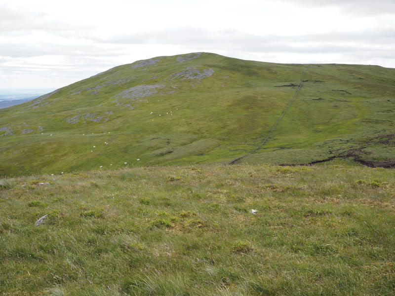
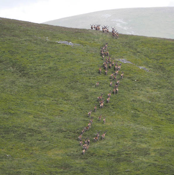
I headed back to the col with Carn Chomh-Stri and ascended this Graham Top disturbing a large herd of stags.
Thereafter I made a more direct return to the ATV track and descended back to Coire Bad an Loin. From there I crossed some wet ground, passing a few shooting buts, to reach the north ridge of Bad an Loin. I then climbed to the summit of this Tump.
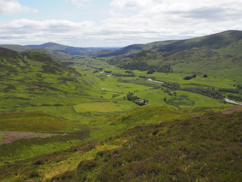
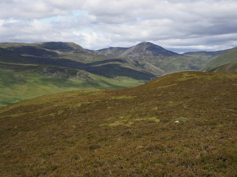
The descent was in a south-easterly direction to rejoin the Coire Bad an Loin vehicle track and return to the Spittal of Glenshee by the outward route.
- Time taken 4 hours.
- Distance – 10.75 kilometres.
- Height climbed – 585 metres.