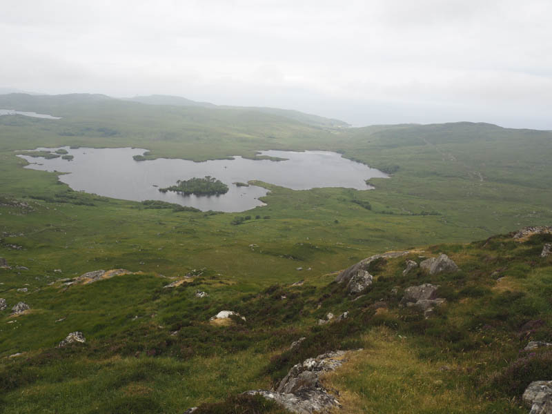
We left my vehicle in the car park at Glasnacardoch, located just off the A830 on the southern outskirts of Mallaig, and walked under the railway bridge, past a few houses, through a gate and onto the path for Loch an Nostarie. On reaching this loch the path continued along its north side gaining a bit of height and to below the Tump, Beinn nan Caorach.
The ground had been churned up, possibly due to pipe work, but was relatively dry after a spell of fine weather.
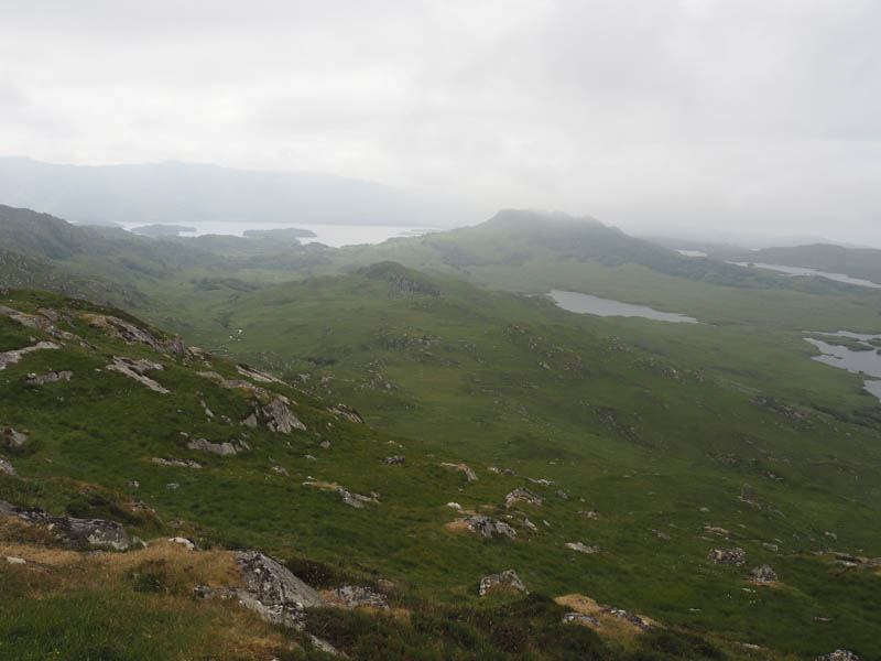
At this point we left the path and climbed Beinn nan Caorach before descending east to later re-join the path which led to Loch Eireagoraidh and disappeared as we continued east on its north bank.
This now pathless route through rough vegetation and rocks led to the Tump, Leachd Dhubh, which we ascended visiting a few of its high points.
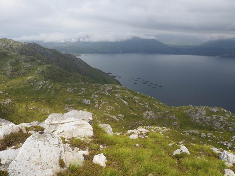
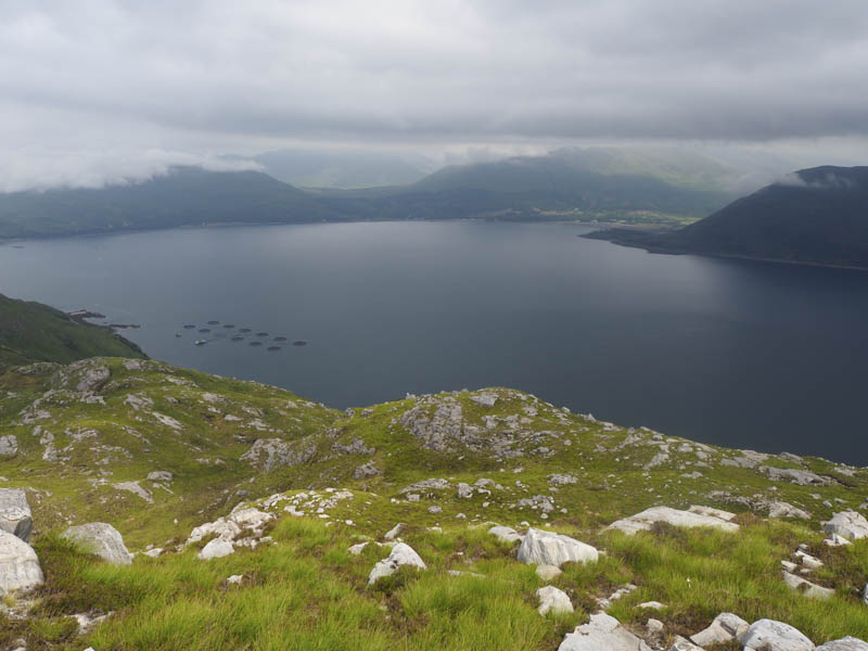
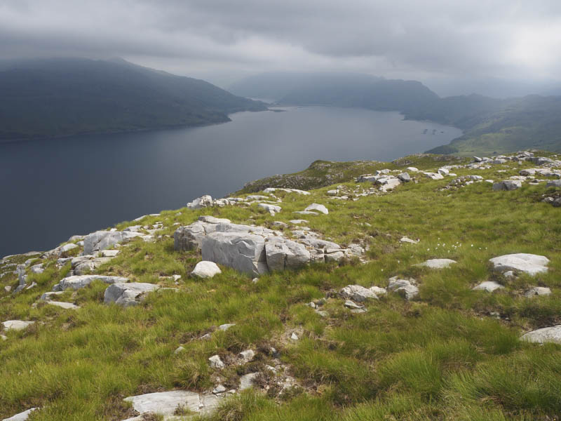
While taking a break at the East Top with views of Loch Nevis the cloud covering the higher tops lowered and we were soon engulfed.
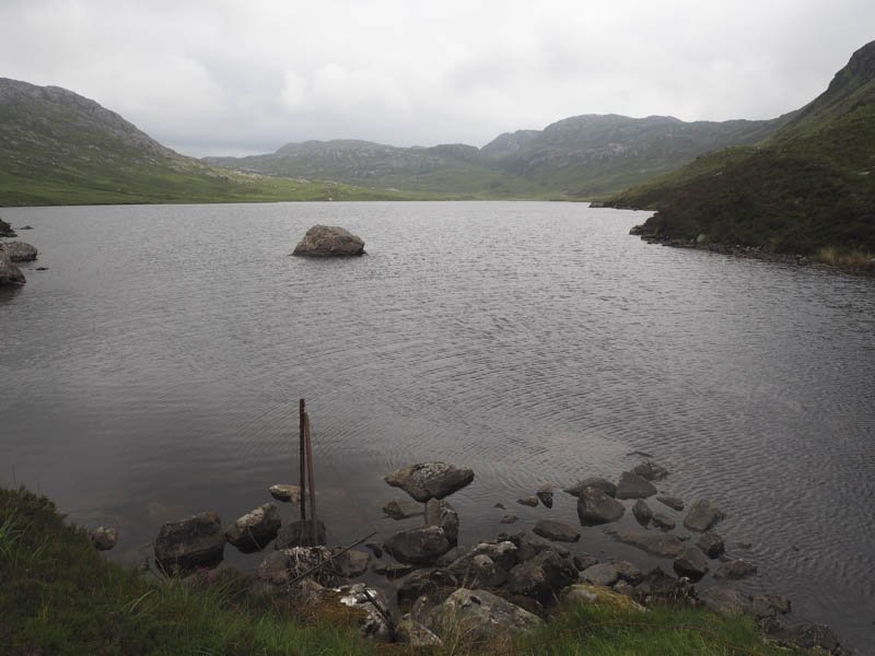
On leaving this top we descended south-west before climbing the Tump, Maol Mor Glac nan Cnamh. Still in the cloud we descended west then north emerging from it before reaching the east end of Loch Eireagoraidh. The outward route, by-passing Beinn nan Caorach to the north, was followed back to Glasnacardoch.
- Time taken – 6 hours.
- Distance – 16 kilometres.
- Height climbed – 650 metres.