With a forecast for strong winds making walking in exposed areas difficult I decided to look at forested hills where I would be protected from the wind. I settled for the Foyers area on the east shore of Loch Ness, accessed from Inverness along the B852.
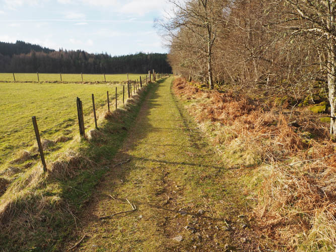
I parked at the side of the road within the village, just north of the bus shelter, and walked south then west across the road bridge over the River Foyers. From there a grassy track, signposted Whitebridge 3 miles, ran between the craggy east face of Creag Bhreac and a grassy field.
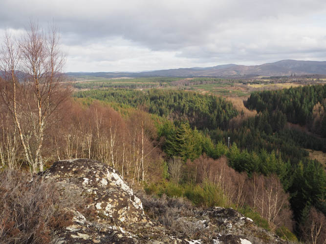
After walking round a deer style gate, I came to a junction of tracks where I went right, west, (yellow marker post) gradually gaining height. I later left this track and climbed north through the well-spaced trees; the going was easy enough with a few fallen ones to avoid. The summit of the Tump, Creag Bhreac, was reached, marked by a cairn on a mossy rock.
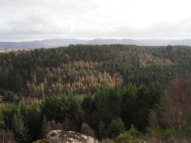
The descent was slightly to the east of the approach route rejoining the vehicle track to Whitebridge. (red marker post) This track took me south through the trees then between a couple of fields to some stock gates. I crossed one of these fields, went over a fallen deer fence, then along deer tracks below the craggy south-east face of Carn Dearg. I continued south-west beside the deer fence looking for a suitable route onto this hill but the trees were closely packed.
In places deer had damaged the fence and there were some boggy areas to cross or avoid. Prior to reaching Dearg Lochan the trees were better spaced, so I clambered over the deer fence and climbed fairly steeply north later turning north-east pushing my way through the conifers and onto a fire break. Here I located the summit of the Hump, Carn Dearg, marked by an outcrop. A couple of nearby rocks were also thought to be as high, so I visited them before pushing my way north through more trees to a cairn, mentioned on the hill bagging web site as possibly being the same height.
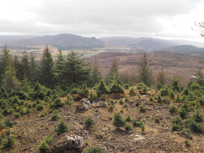
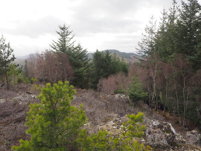
I returned to the fire break and descended easily west, then fairly steeply north-west with some fallen trees to work round before joining the vehicle track at NH4813718887 which was mentioned on the hill bagging web site. It would have made life simpler if I had used this approach route.
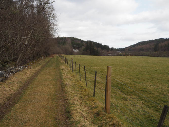
A grassy track was followed north-west keeping right at a couple of junctions before passing the point I left the track earlier that morning to climb Creag Bhreac. The track was then followed back to Foyers.
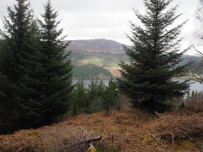
At the bus shelter I walked north-east passed some houses then onto a vehicle track to a building related to Scottish Water. Here I left the track and pushed my way through the conifers to the north of a reservoir. (Later viewed on a 1:25,000 map a path between the water storage building and the reservoir) I came across some craggy areas where I lost a bit of height before heading east with a few small clearings consisting of dead bracken and outcrops. The summit of the Hump, Creag Nighean Iain Duinn, also known as Foyers Hill, was eventually reached. The highest point was one of the three outcrops. There was what appeared to be a TV aerial lying on its side here.
I didn’t fancy returning by the upward route although initially I did head south-west but later went south where the mature conifers were better spaced. The downside was the steepness and a few crags, but it led to the vehicle track west of Craigniche House. Once over a deer fence, I followed this track back to the point I left it earlier then it was a short walk to Foyers.
- Time taken – 5 hours 20 minutes.
- Distance – 11.75 kilometres.
- Height climbed – 490 metres.