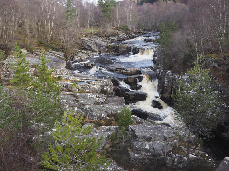
I left my vehicle in the Silverbridge Car Park on the west side of the A835 Inverness to Ullapool Road, north of Garve, and walked over the old bridge across the Black Water, the A835 and onto the road leading to Silverbridge Lodge.
Prior to this bed and breakfast establishment a sign indicated the route for hill walkers, a left turn onto a vehicle track. This track wound its way uphill through fields of sheep and a couple of heavy iron gates. En-route I was overtaken by a couple of hill runners. At one point an eagle passed overhead.
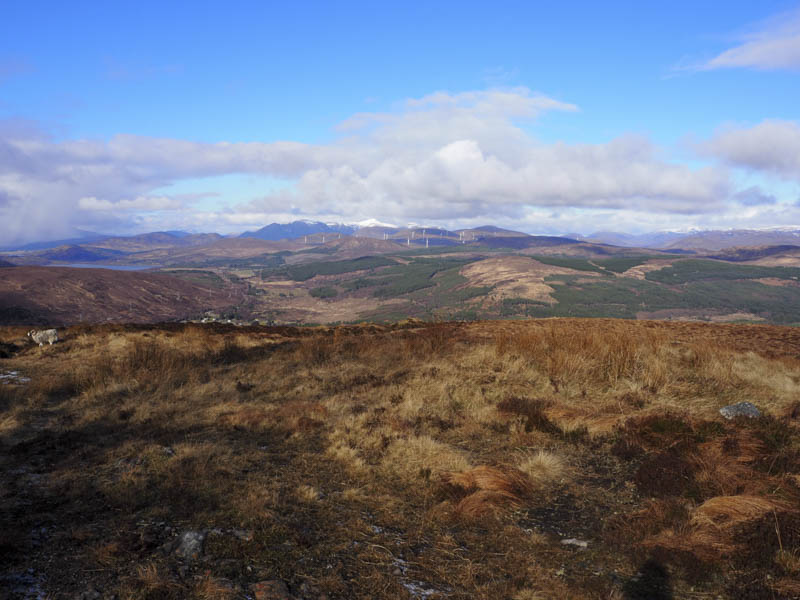
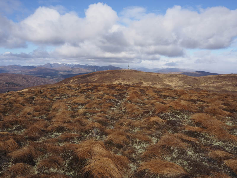
Immediately after the second heavy metal gate and at a junction of tracks (NH418639) I went right and during a couple of snow flurries walked south-west below Beinn a’ Ghuilbein and Loch an Tuirc to reach the end of the track at the radio mast on Meall Ruighe an Fhirich.
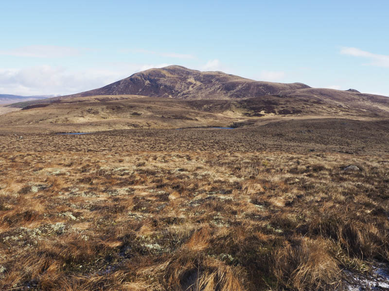
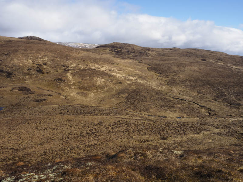
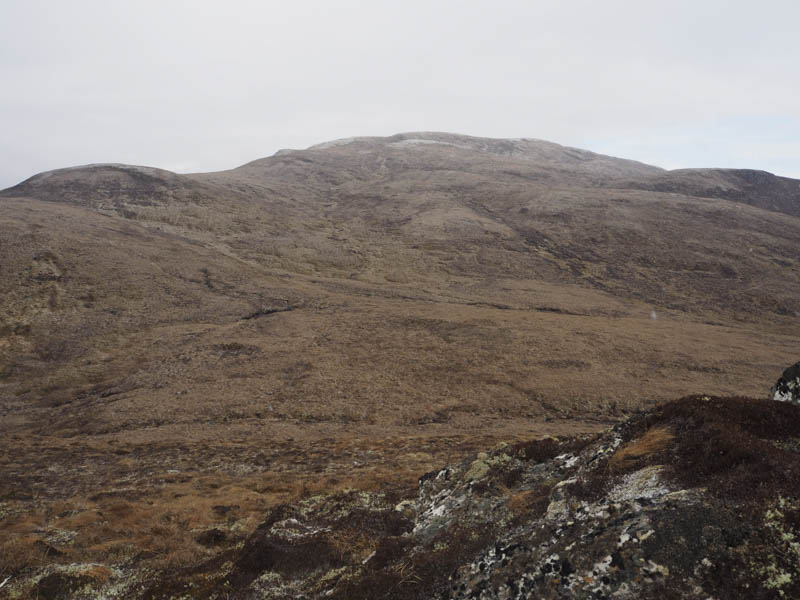
After a break here sheltering from a cold wind I headed for Carn Fearna South-West Top, not directly as I stayed high keeping out of the small gully holding the Allt Fearna. This route was pathless and took me through a mixture of heather, moss, grass and tussocks, similar to what I was to encounter on the remaining foothills of Little Wyvis. The summit of the deleted Tump, Carn Fearna South-West Top, was reached; the highest point appeared to be ground north of the cairn.
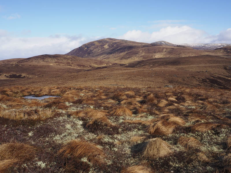
I descended north-east and climbed the Tump, Carn Fearna; the highest point was a cairn on a heather/mossy knoll.
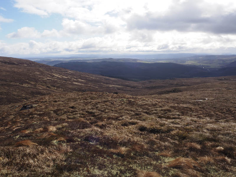
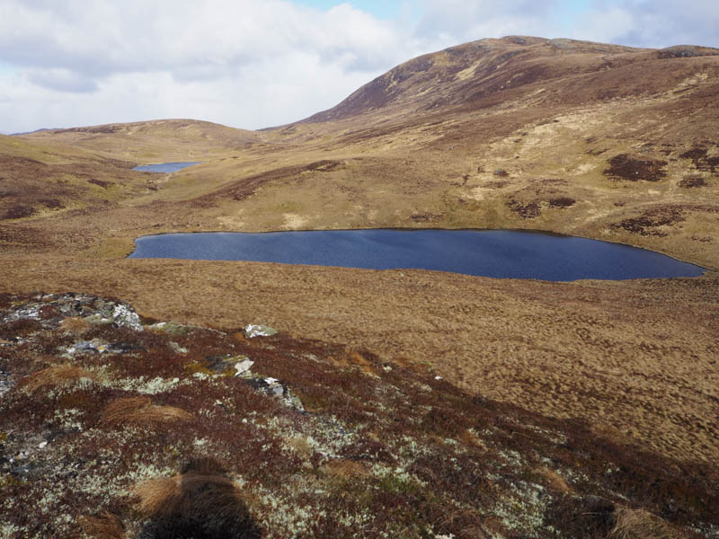
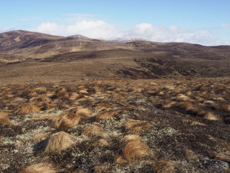
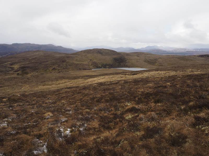
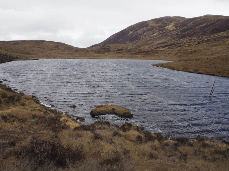
The next hill on this round was a bit out of the way. After descending the steeper north-east face of Carn Fearna to above Loch na Gearra I commenced the ascent of Carn Gorm through vegetation as described above. The cloud lowered and I encountered a snow shower which died out once on the flattish summit. I visited an area to the east but it appeared the highest points of this Tump were a couple of outcrops to the west, possibly the most westerly one.
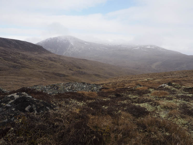
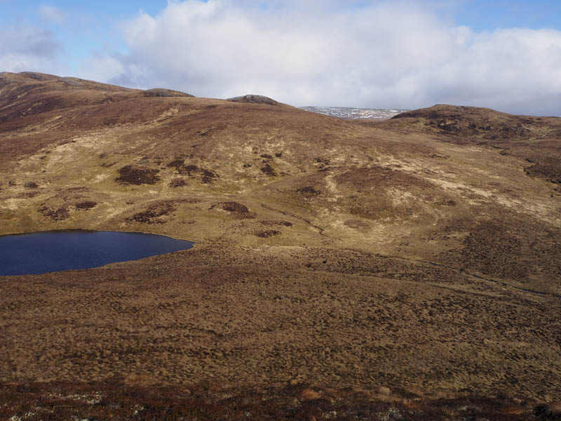
I didn’t hang around here as there were still some snow flurries so I descended west to cross the lower slopes of Little Wyvis before descending to the outflow from Loch a’ Bhealaich where the vegetation was pretty awkward to cross.
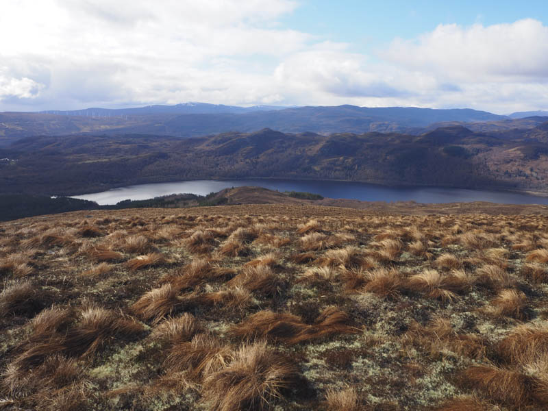
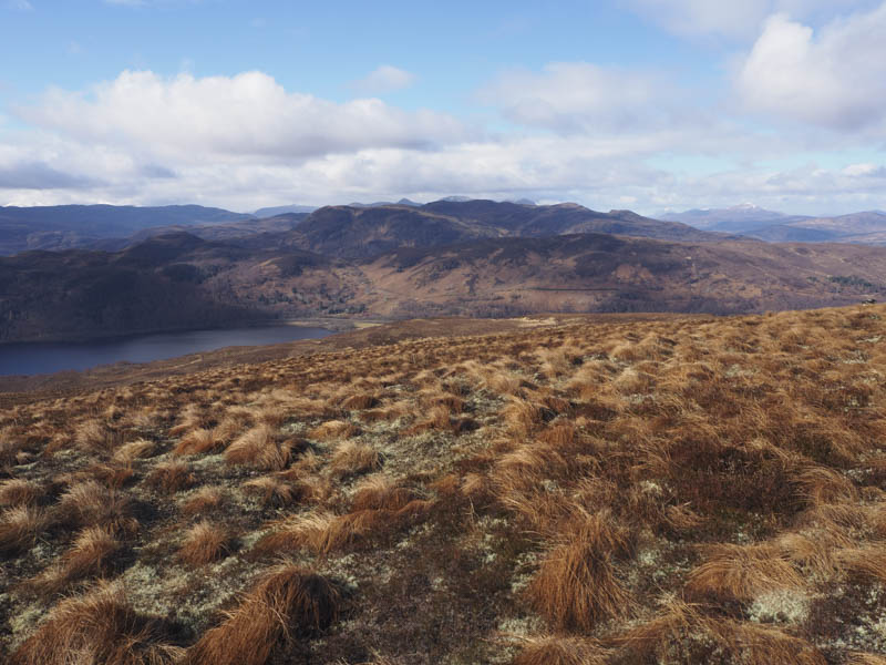
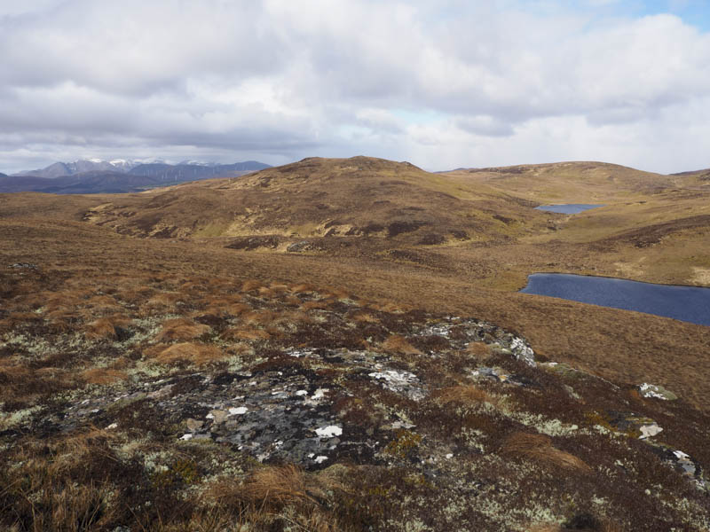
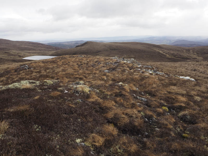
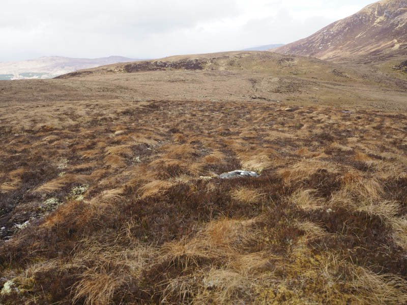
From there I climbed Carn Loch an Tuirc, the highest point of this Tump was one of two outcrops.
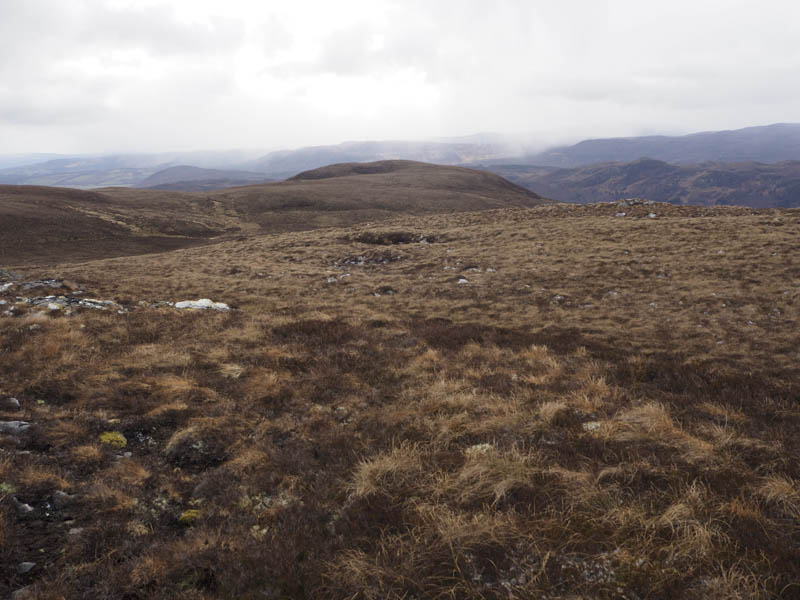
The final hill of the day was Beinn a’ Ghuilbein so I descended north and climbed this Tump. The highest point wasn’t obvious but would be some vegetation.
From there I descended north-west through deep heather to regain the vehicle track just south of the metal gate at grid reference NH418639 before retracing my route back to Silverbridge Car Park.
- Time taken – 5.75 hours.
- Distance – 16 kilometres.
- Height climbed 700 metres.