The start of this walk was the John Muir Trust Car Park on the B8083 Torrin to Elgol Road, south of the headwater of Loch Slapin, on the Isle of Skye. The car park was surprisingly empty on my arrival as it is mainly used by those heading for the Munro, Bla Bheinn. Probably the time of year and the low cloud had put mountaineers off.
The path from the car park takes you back onto the B8083, and once across the road bridge over the Allt na Dunaiche, it was onto the path on the north side of this stream.
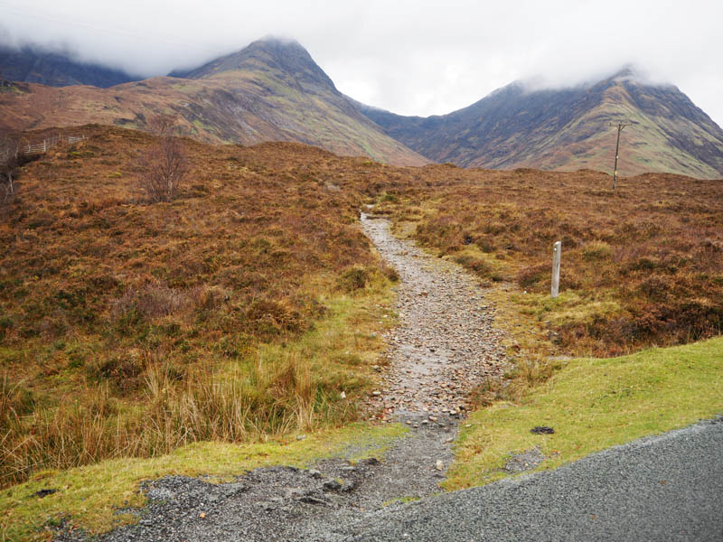
The path was in good nick although initially narrow as it ran through the long heather until beyond a gate in the deer fence where the ground was more open.
A couple of waterfalls were passed as the path ran close to a deep gully then it later crossed the Allt na Dunaiche and onto the stream flowing out of Coire Uaigneich.
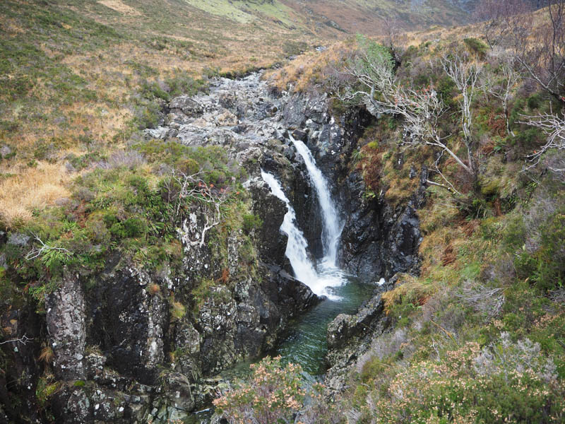
Here there were some stepping stones, then the path steepened and was eroded.
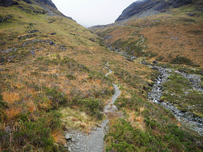
Higher up the gradient eased and there were a couple of what appeared to be feral sheep on the mountainside.
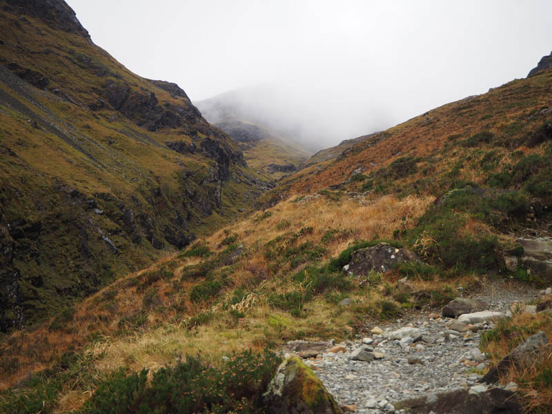
On reaching the corrie I left the path for Bla Bheinn, crossed a couple of gullies and headed towards Loch Fionna-choire where there were traces of a path, possibly for An Stac.
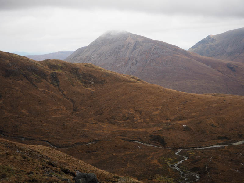
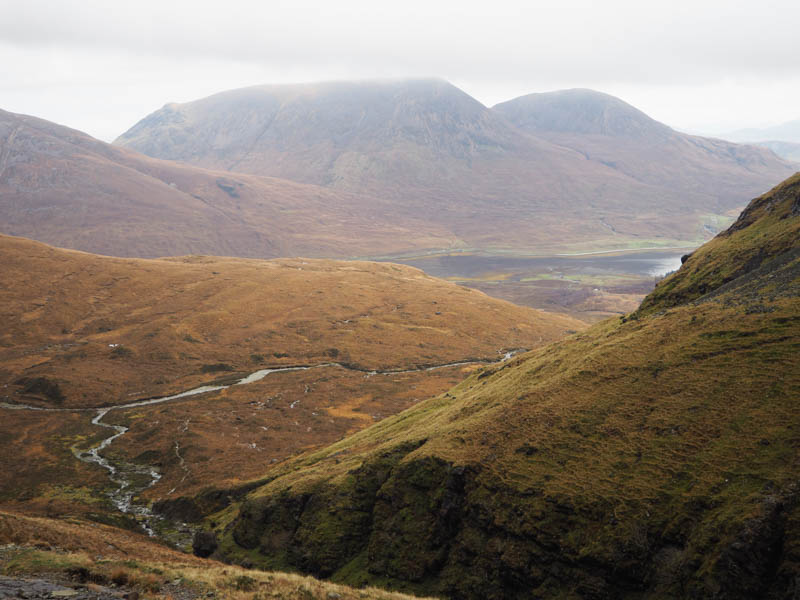
I soon left this path and commenced the ascent of Slat Bheinn avoiding the crags and using the vegetation when possible.
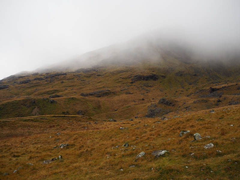
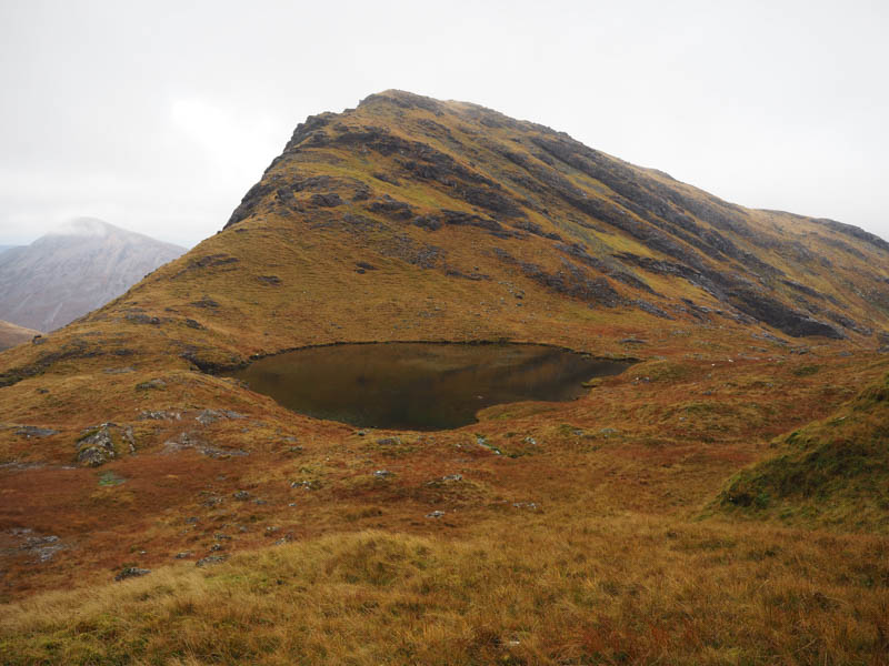
Around the 500-metre mark I entered the low cloud with visibility down to around 50 metres. A short section of scree was encountered before reaching the grassy/rocky summit area. The highest point of this Graham Top was marked by an outcrop.
With no views I returned by the ascent route with the cloud now below Coire Uaigneich.
- Time taken – 4 hours 40 minutes.
- Distance – 7.5 kilometres.
- Height climbed – 615 metres.