The start of this outing was Keiloch, on the north side of the A93, east of the Invercauld Bridge and the village of Braemar. There was a car park here and for the privilege of leaving my vehicle there it cost £3. The proceeds from the parking charges are supposed to include maintenance of the car park but there were several puddles so it could be doing with an upgrade. The toilet block was also out of action.
On leaving the car park I walked north-west along the private tarred road leading to and passed the rear of Invercauld House. Beyond this property a vehicle track, part of the Right of Way to Linn of Quoich, was followed round the east and north sides of the house at Altdourie. Prior to the track descending to the bridge over the Allt an t-Slugain I left the Right of Way and continued in a north-westerly direction along the vehicle track on the north-east side of this stream.
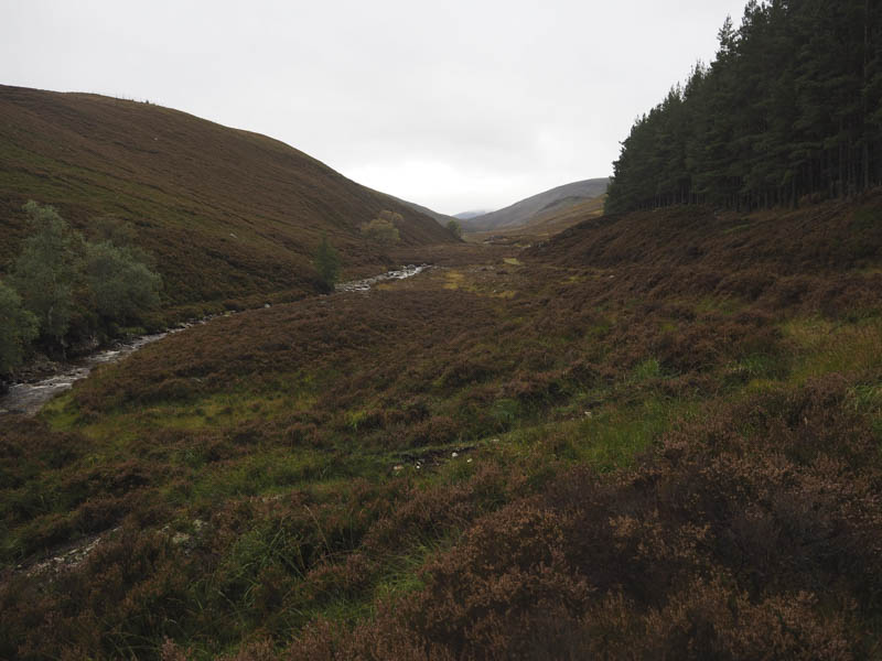
The track rose on a gentle gradient out of the trees and into Gleann an t-Slugain. There were a couple of streams to ford but the water levels were low so easily crossed.
The condition of the track deteriorated slightly with height but was still suitable for those on mountain bikes gaining speedier access to the nearby mountains. I was passed by six youngsters heading back down the glen, obviously having been out overnight. They were the only folks I met on this trip other than a couple of chaps on bikes on the Right of Way. A light drizzle became heavier so it was now time to don the waterproofs.
The glen later narrowed considerably and here I kept to the higher track staying on the north side of the Allt an t- Slugain. Once across a tributary I left the track and climbed through heather and boulders onto the higher slopes of Meall an t-Slugain where the vegetation consisted of short cropped heather. The summit of this Graham Top was marked by a rock beside the cairn. The cloud base was just above this top.
After sheltering from the wind and rain for coffee and a bite to eat I descended north to the boggy col with Cairn na Craoibhe Seileich before climbing this Sub Simm. The highest point was supposed to be a pointed rock but there were a few to choose from.
The descent north-west took me towards the col with Carn Eag Dhubh where the map showed a path but I didn’t see it amongst the peat hags and bog so tended south-west through mixed vegetation and a few rocks to join the path linking Gleann an t-Slugain to The Sneck.
I had planned to include another Sub Simm, but with no improvement in the weather, which wasn’t as forecasted, I called it a day and returned to Gleann an t-Slugain. Here I used the eroded path passed the ruin, before rejoining the outward route which was followed back to the start.
- Time taken – 6 hours.
- Distance – 22.25 kilometres.
- Height climbed – 585 metres.